")
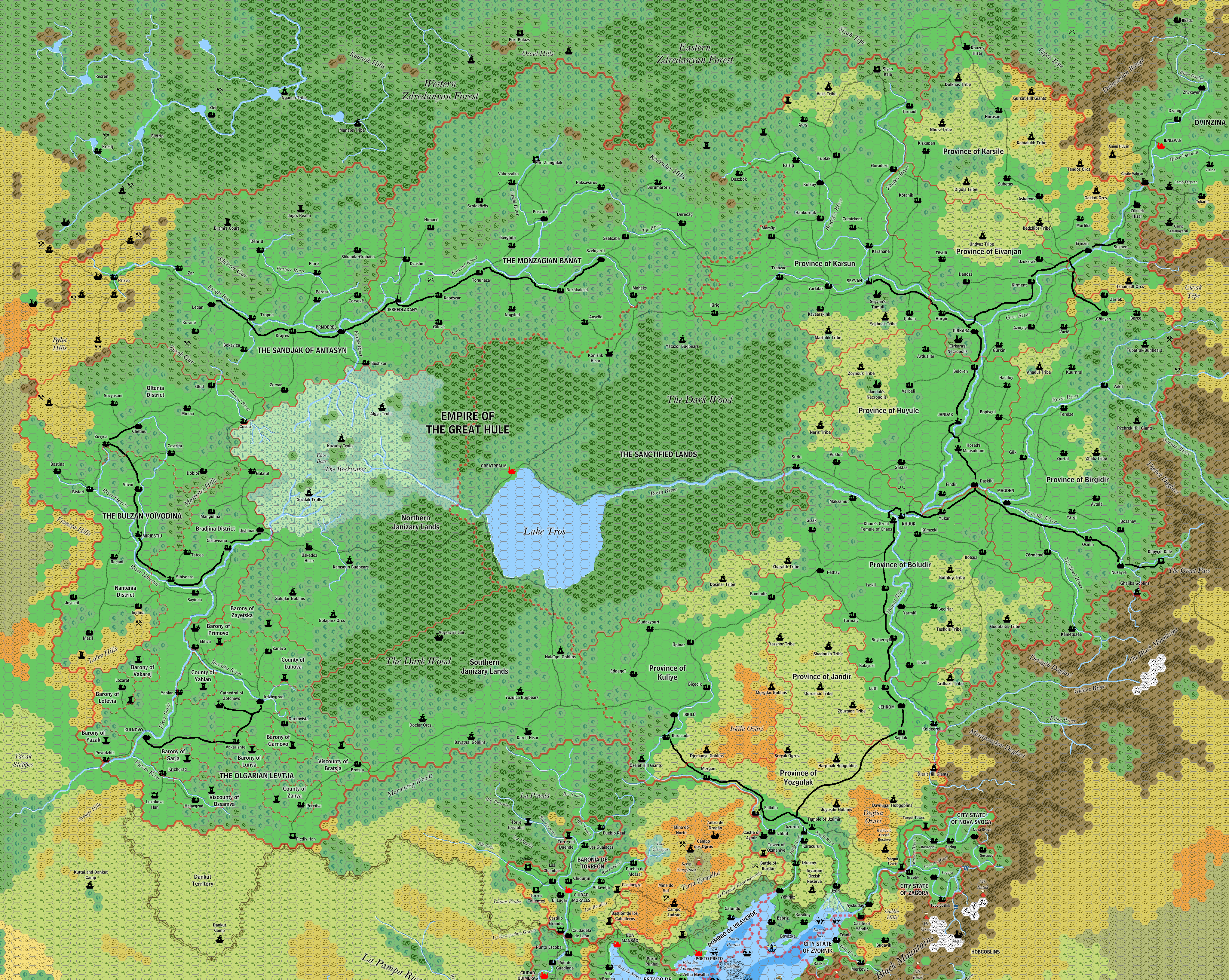
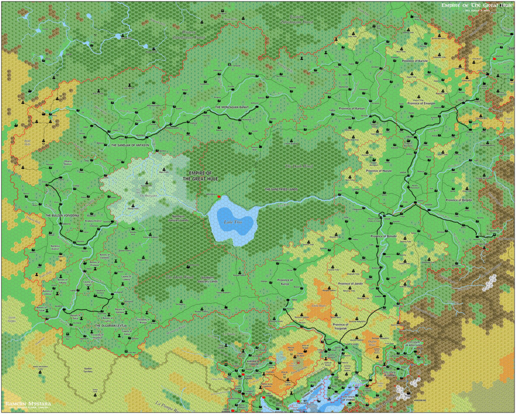
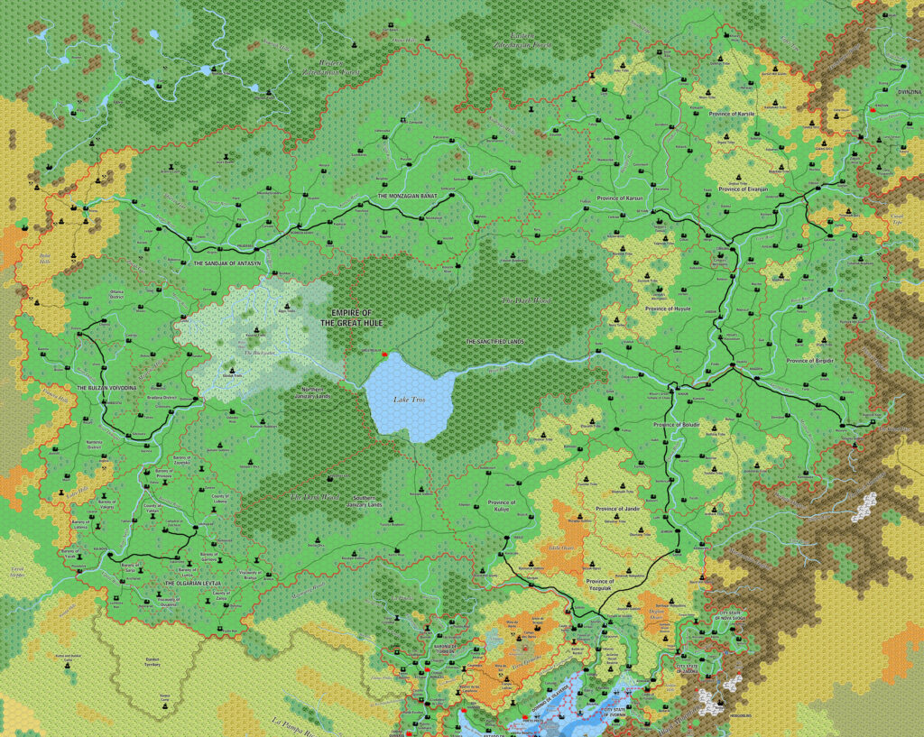
Ramelin’s Hule, 8 miles per hex v2
This minor update to Jose’s 2015 Hule map revised the terrain on the western border of the map, but left almost everything else as is. The only other changes were the addition of mountain ridges southeast of Nova Svoga and Zagora, and adjustments to trails in those city states as well as in Southern Hule. Most of the changes to trails involved more explicitly marking them as trails rather than roads, but there was also an entirely new trail linking Yenigaz with Izkacoy. This latter route was not present in the original Dragon #172 map, although it seems like a very logical connection.
Fan-made Map by Jose Ignacio Ramos Lomelin (June 2017)
This is an original map created by one of Mystara’s excellent fan cartographers. For more information on the cartographer, including a gallery of all their maps, see also Appendix M: Mappers of Mystara.
Sources
- X4 Master of the Desert Nomads (1983) (PDF at DriveThruRPG)
- X5 Temple of Death (1983) (PDF at DriveThruRPG)
- Companion Rules Set (1984) (PDF at DriveThruRPG)
- Master Rules Set (1985) (PDF at DriveThruRPG)
- Hollow World Campaign Set (1990) (PDF at DriveThruRPG)
- Outer World Planetary Map
- The Voyage of the Princess Ark Part 18: The Slagovich affair, Dragon #171 (July 1991)
- The Voyage of the Princess Ark Part 19: Hule!, Dragon #172 (August 1991)
- The Voyage of the Princess Ark Part 21: The Savage Baronies, Dragon #174 (October 1991)
- Champions of Mystara (1993) (PDF at DriveThruRPG)
Fan Sources
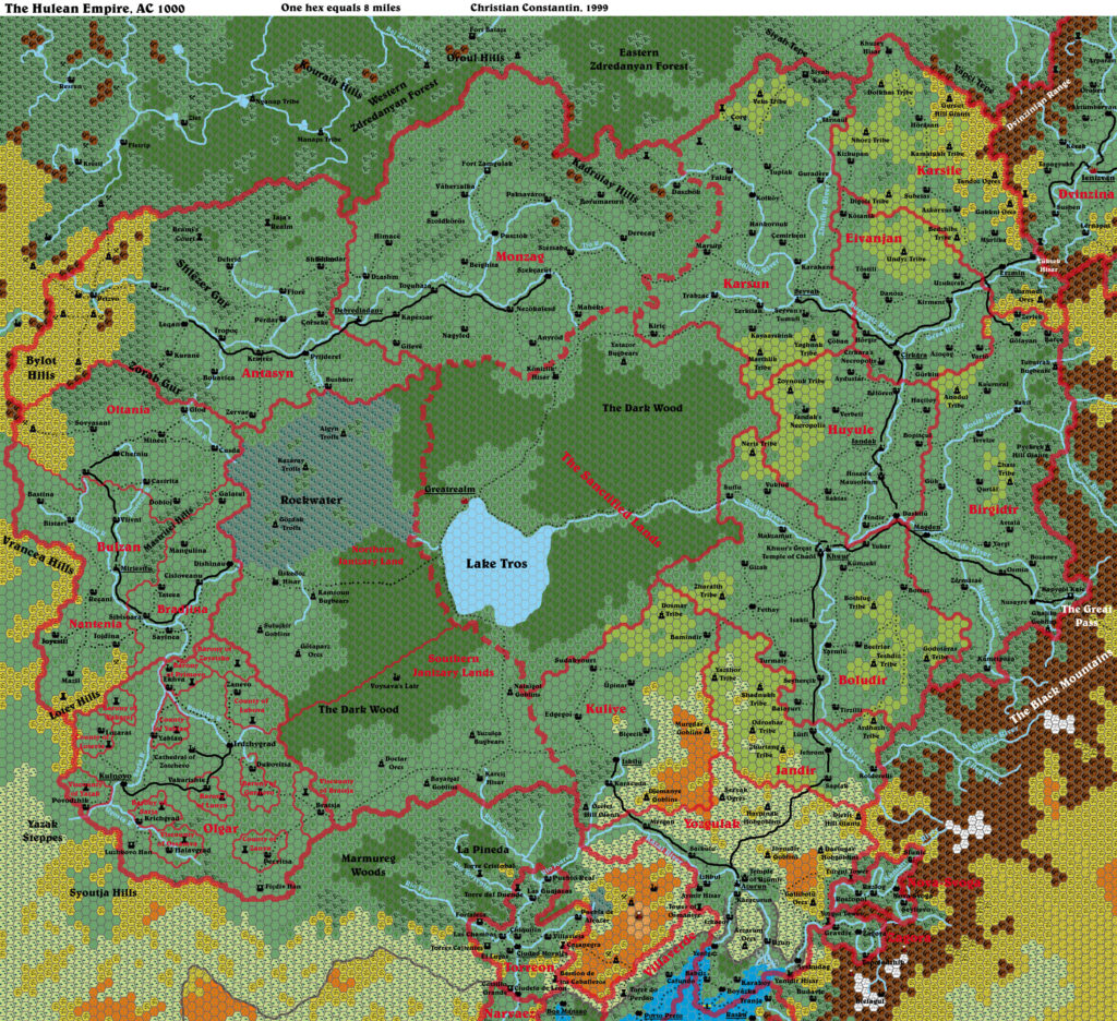
- Christian’s Hule, 8 miles per hex (September 1999)
- Ramelin’s Hule, 8 miles per hex v1 (January 2016)
References
- All of Jose’s maps at the Atlas of Mystara
- Jose’s entry in Appendix M: Mappers of Mystara (upcoming)
- Jose’s author page at the Vaults of Pandius
Chronological Analysis
This is a fan-made map. It was published in June 2017. The updated Atlas version of this map is not yet available. See also Appendix C for annual chronological snapshots of the area. For the full context of this map in Mystara’s publication history, see the upcoming Let’s Map Mystara 2017.
The following lists are from the Let’s Map Mystara project. Additions are new features, introduced in this map. Revisions are changes to previously-introduced features. Hex Art & Fonts track design elements. Finally, Textual Additions are potential features found in the related text. In most cases, the Atlas adopts these textual additions into updated and chronological maps.
Under Construction! Please check back again soon for updates.
Additions
- Trails — The trail from Yenigaz to Izkacoy is new. Given that this route is Hule’s only access to the Gulf of Hule coast, it seems rather astounding that the original map didn’t include it. Jose must have noticed this and added it in.
Revisions
- Settlements —
Hex Art & Fonts
- Hex Art — Ramelin Mystara standard.
- Fonts — Bell MT (major geographic and all water labels), Bell Centennial (all other labels), Feinen (titling).

")
")