
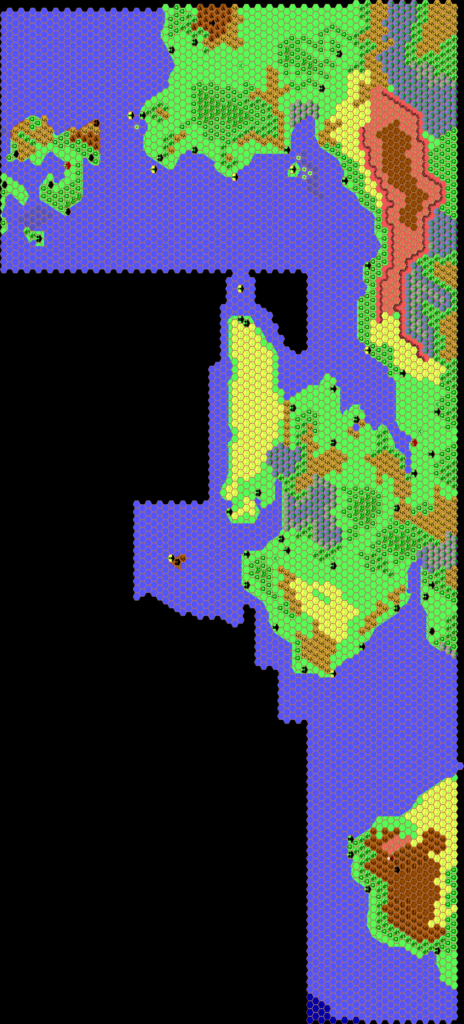
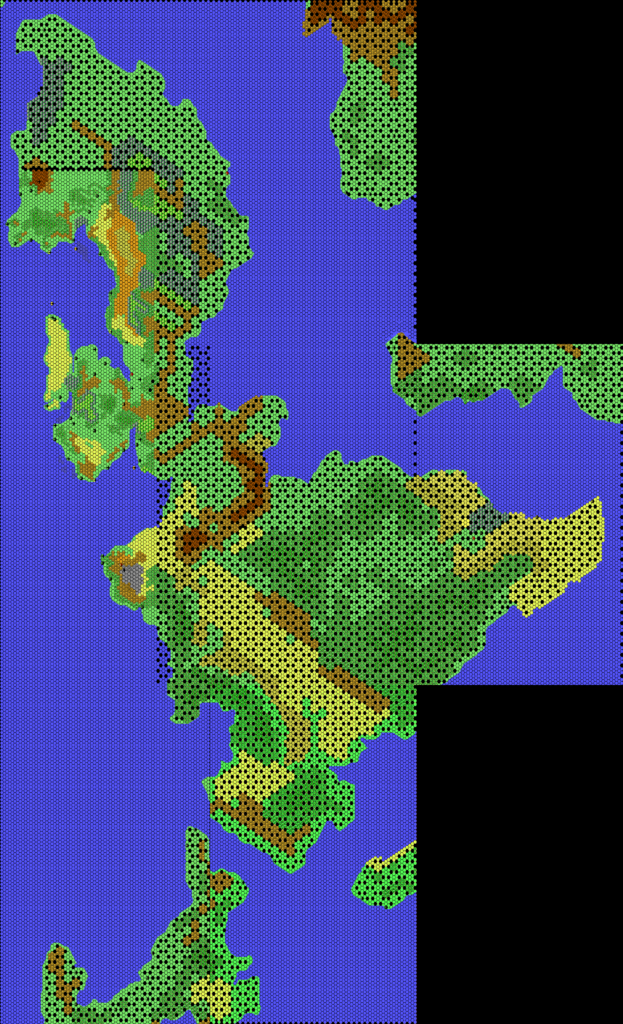
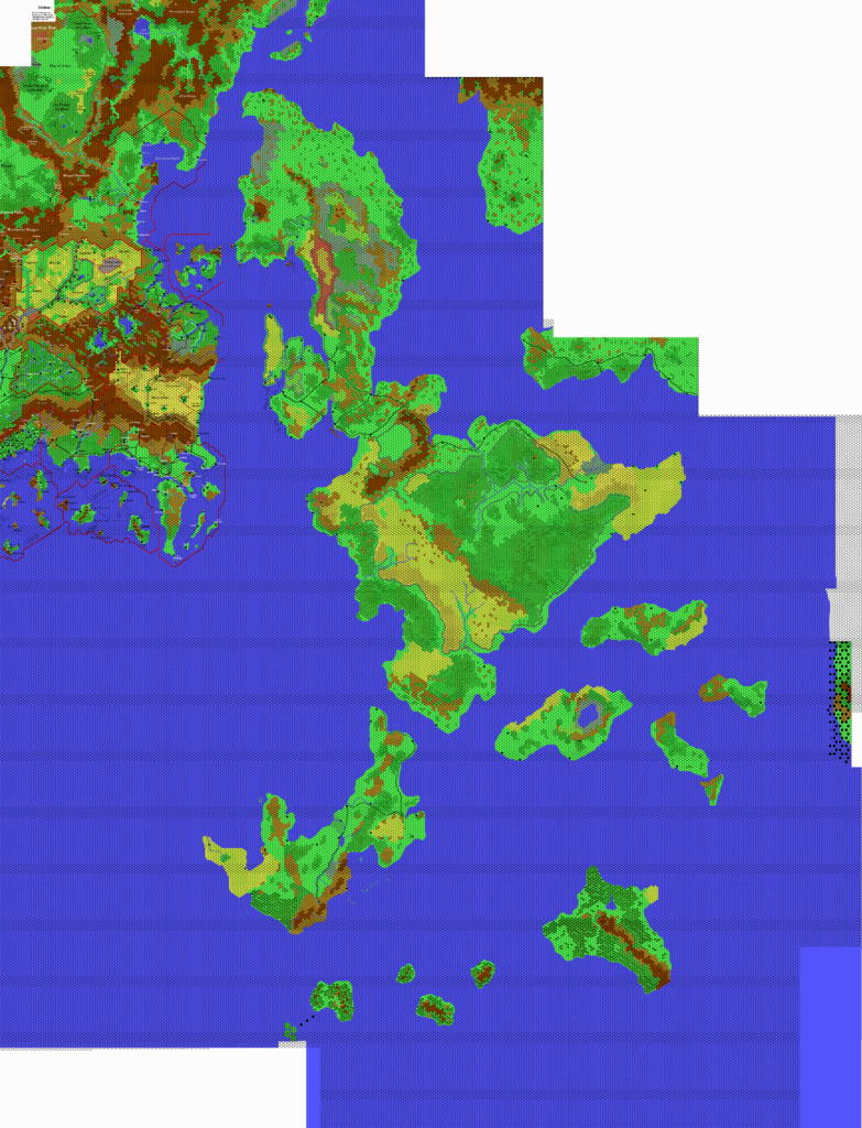
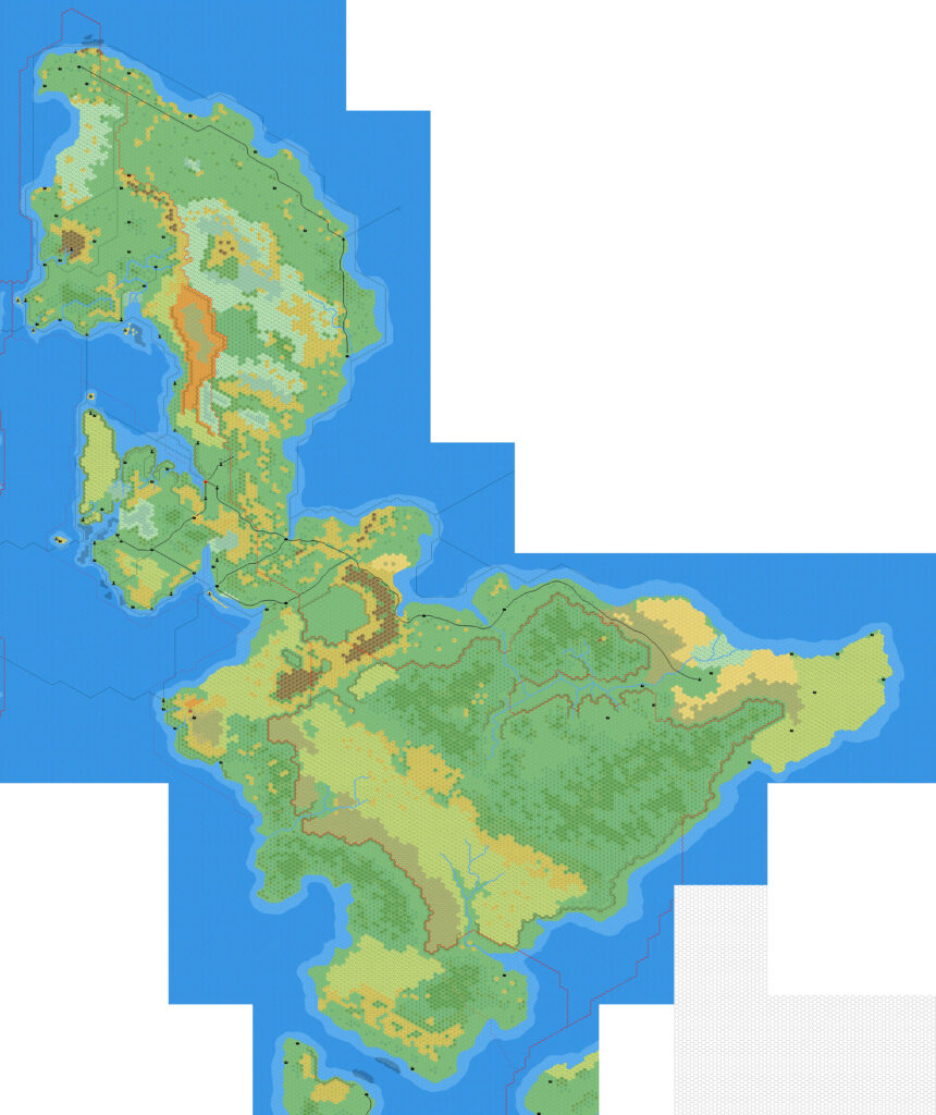
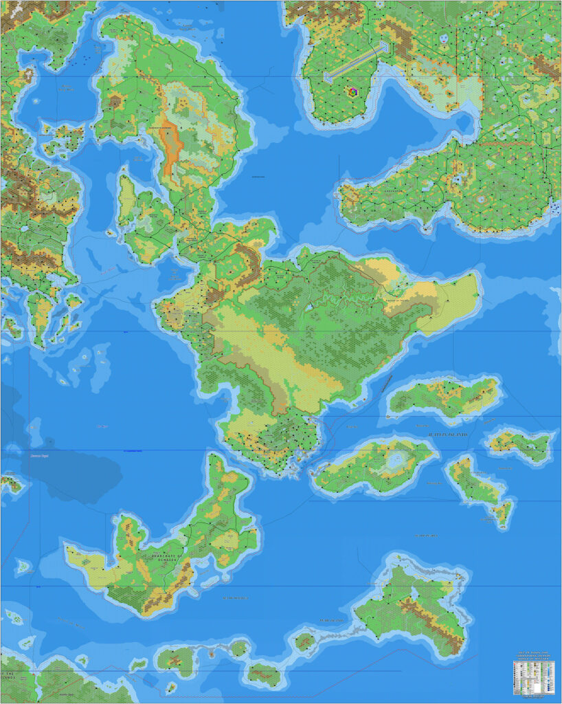
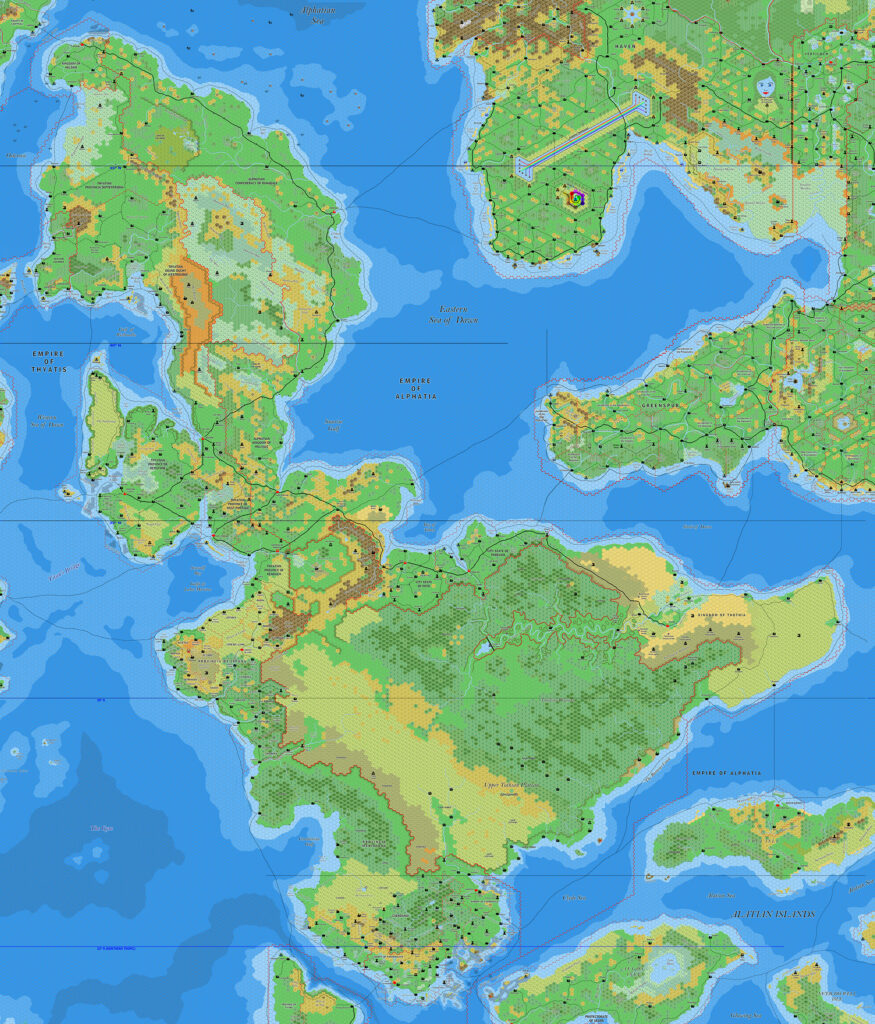
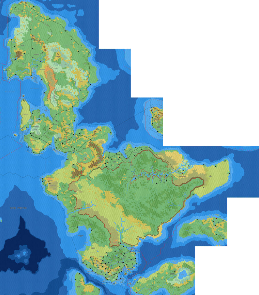
Ramelin’s Sea of Dawn Islands, 8 miles per hex
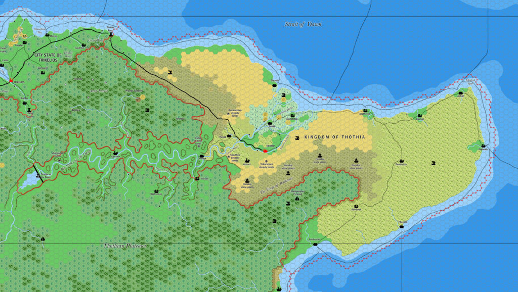
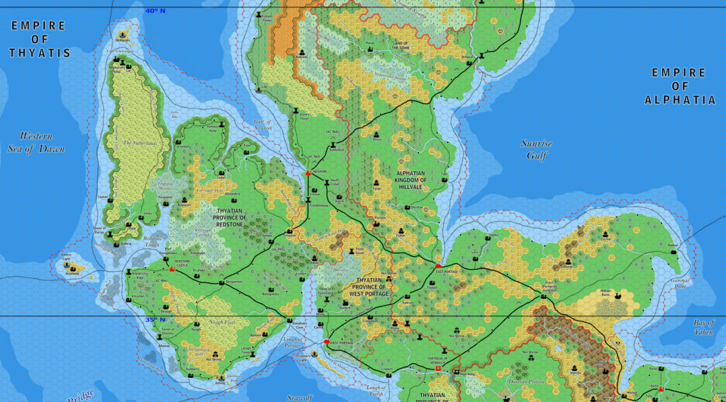
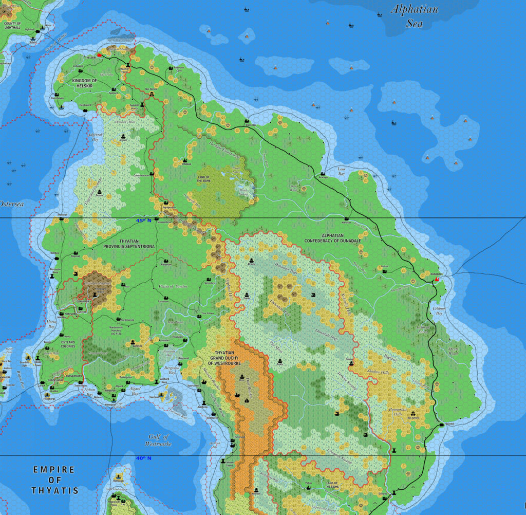
One of seven large regional maps Jose shared to his DeviantArt profile in March 2017, this map was also his first full map of the Isle of Dawn. He had previously shared various parts of it, but this map filled in all of the gaps. The Alatians also saw updates, with Aeria being detailed for the first time.
The really amazing thing about this map, though, was the sudden appearance of more than a quarter of Alphatia in a completed state. Jose of course took all of Bruce Heard’s 2012-2013 maps and remade them, merging into a single whole. Bruce’s recent maps are exceedingly complex, full of tiny details and hundreds of labels, so this was no small task.
Jose would revisit the various parts of this map, including the Isle of Dawn and Alphatia, in future updates, though this particular map never saw another version.
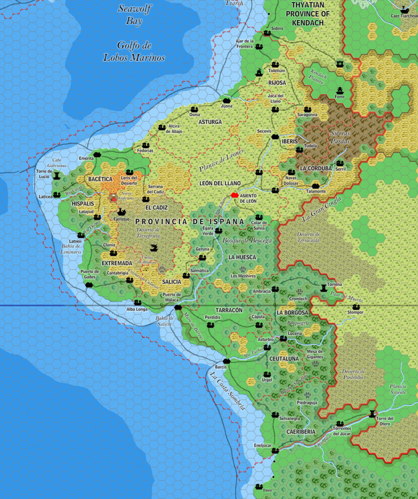
Fan-made Map by Jose Ignacio Ramos Lomelin (March 2017)

This is an original map created by one of Mystara’s excellent fan cartographers. For more information on the cartographer, including a gallery of all their maps, see also Appendix M: Mappers of Mystara.
Sources
- TM2 The Eastern Countries (1989) (PDF at DriveThruRPG)
- And many others…
Fan Sources
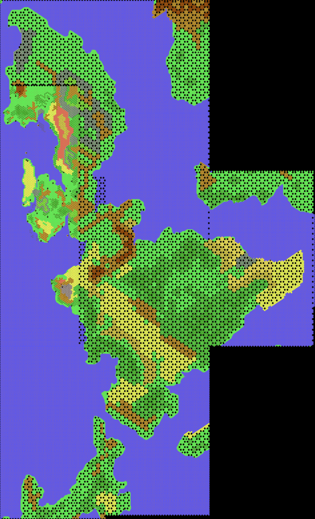
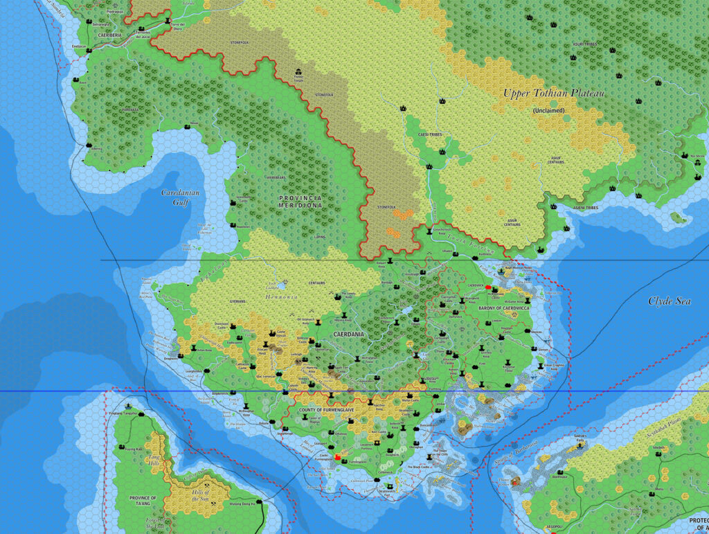
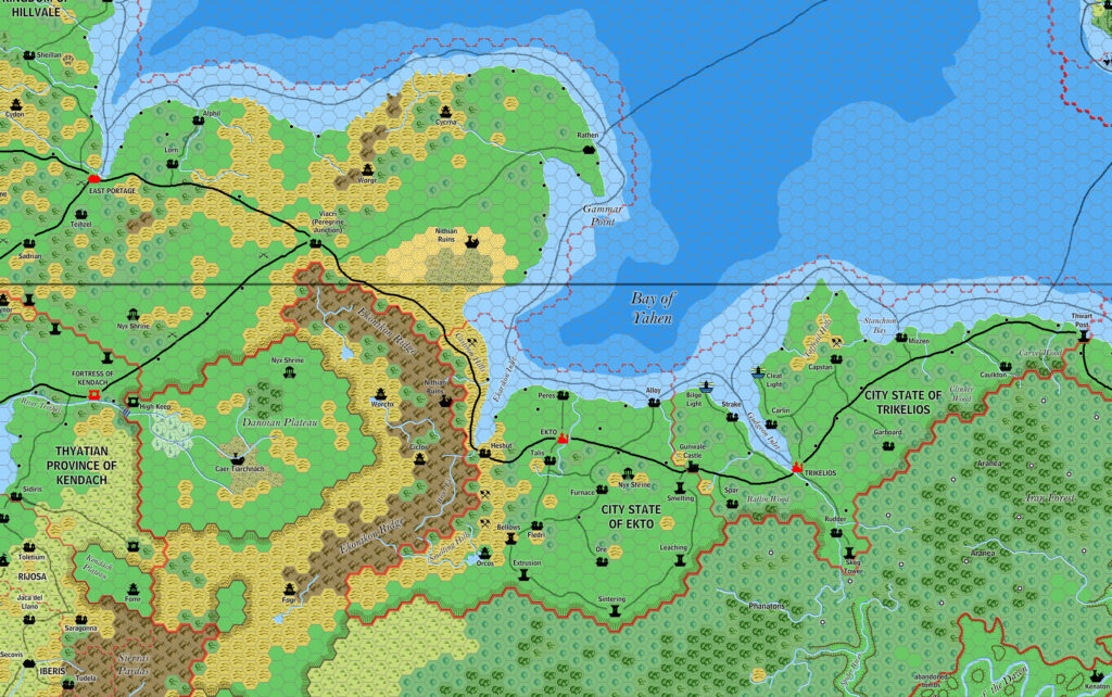
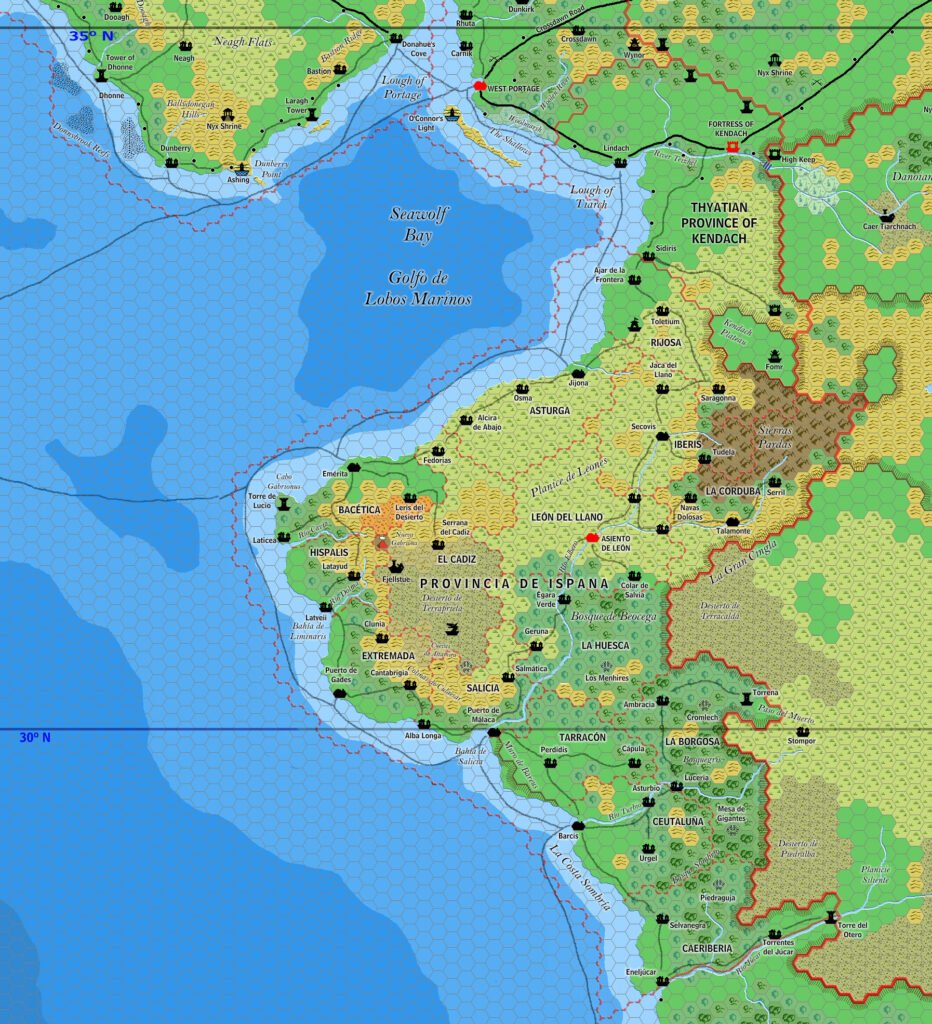
- Component maps:
- Ramelin’s Alatian Islands, 8 miles per hex v1
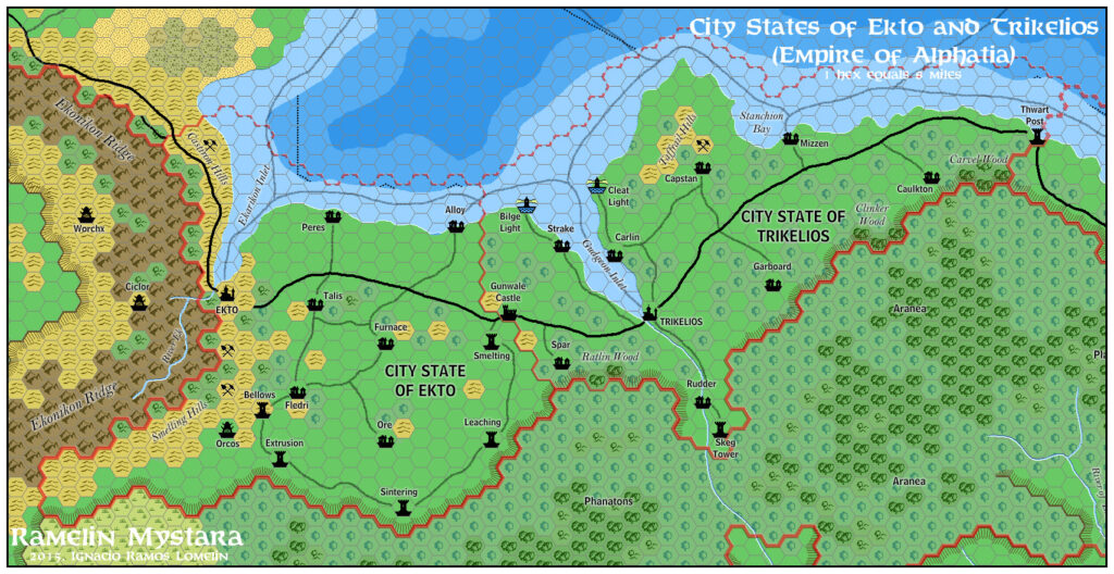
- Ramelin’s Ekto and Trikelios, 8 miles per hex v1
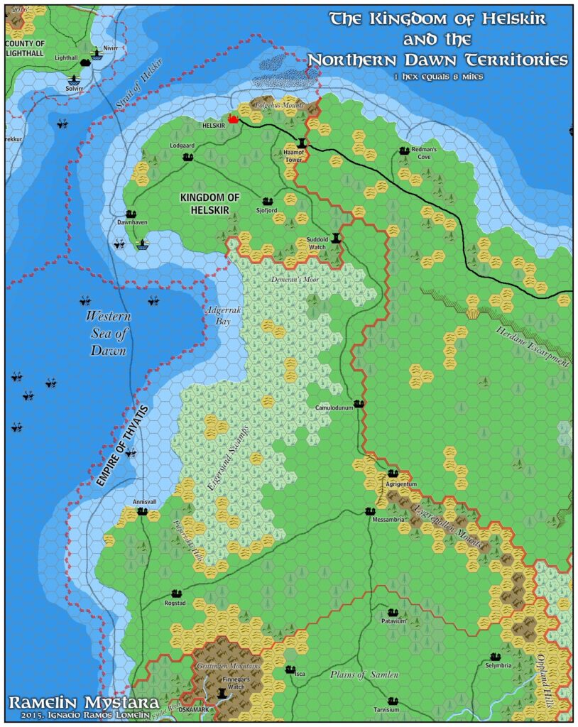
- Ramelin’s Helskir, 8 miles per hex
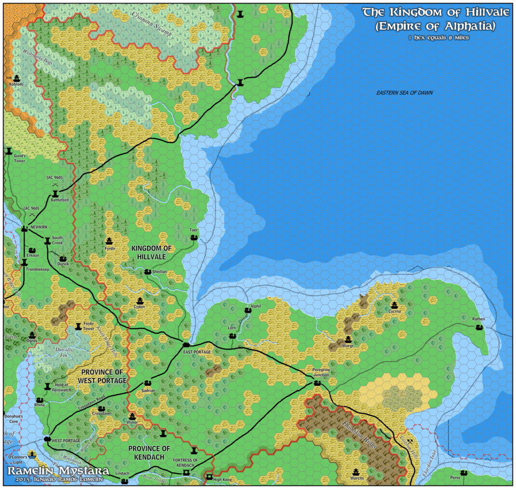
- Ramelin’s Hillvale, 8 miles per hex
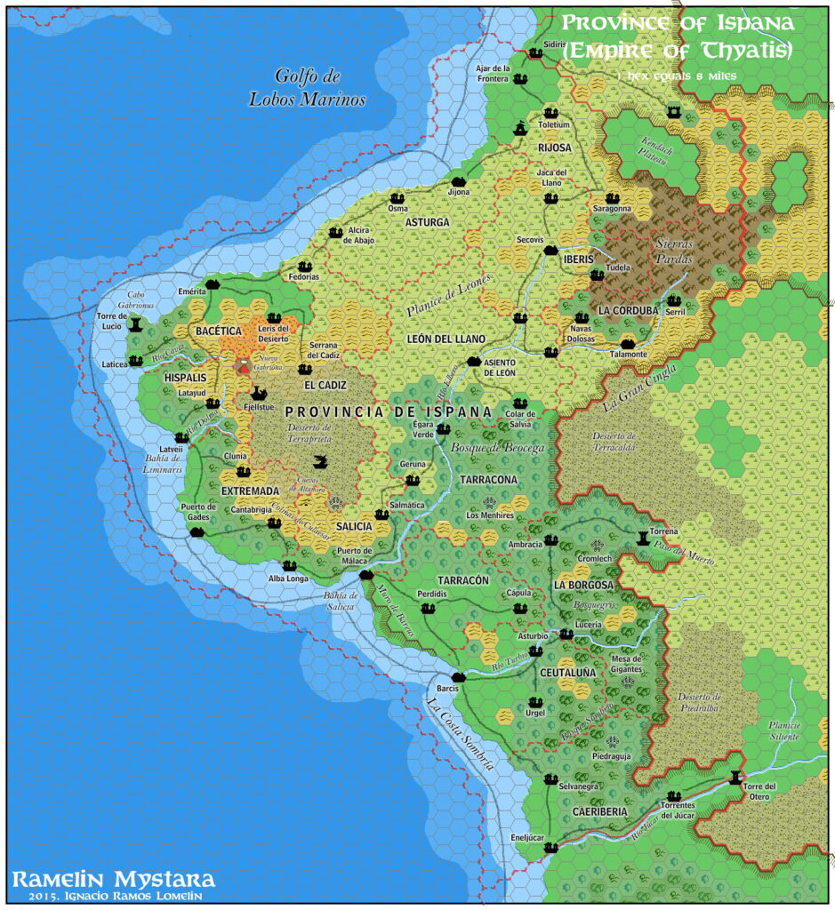
- Ramelin’s Ispana, 8 miles per hex v1
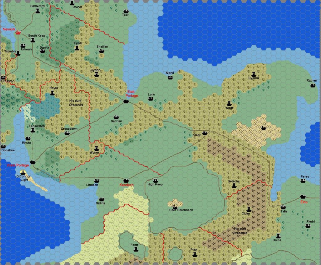
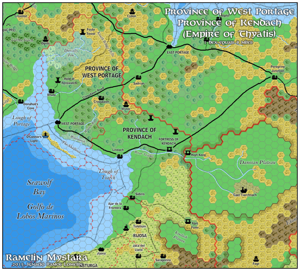
- Ramelin’s Kendach, 8 miles per hex
- Ramelin’s Ochalea, 8 miles per hex v1
- Ramelin’s Pearl Islands, 8 miles per hex v1
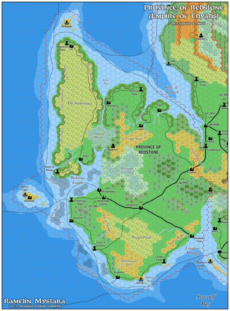
- Ramelin’s Redstone, 8 miles per hex
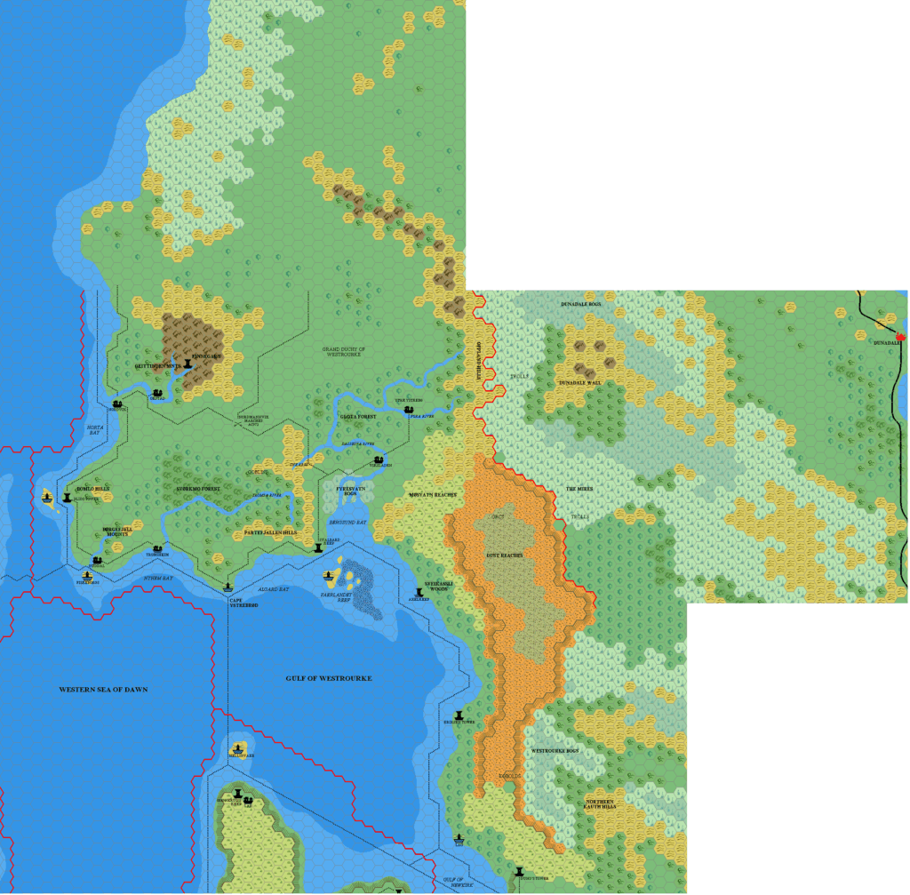
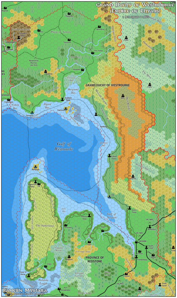
- Ramelin’s Westrourke, 8 miles per hex
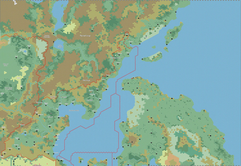
- Ramelin’s Davanian Hinterlands, 8 miles per hex
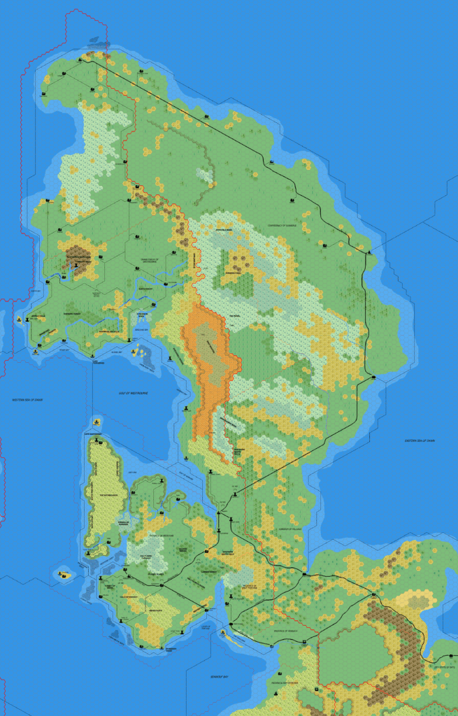
- Ramelin’s Known World, 8 miles per hex v1 (March 2017)
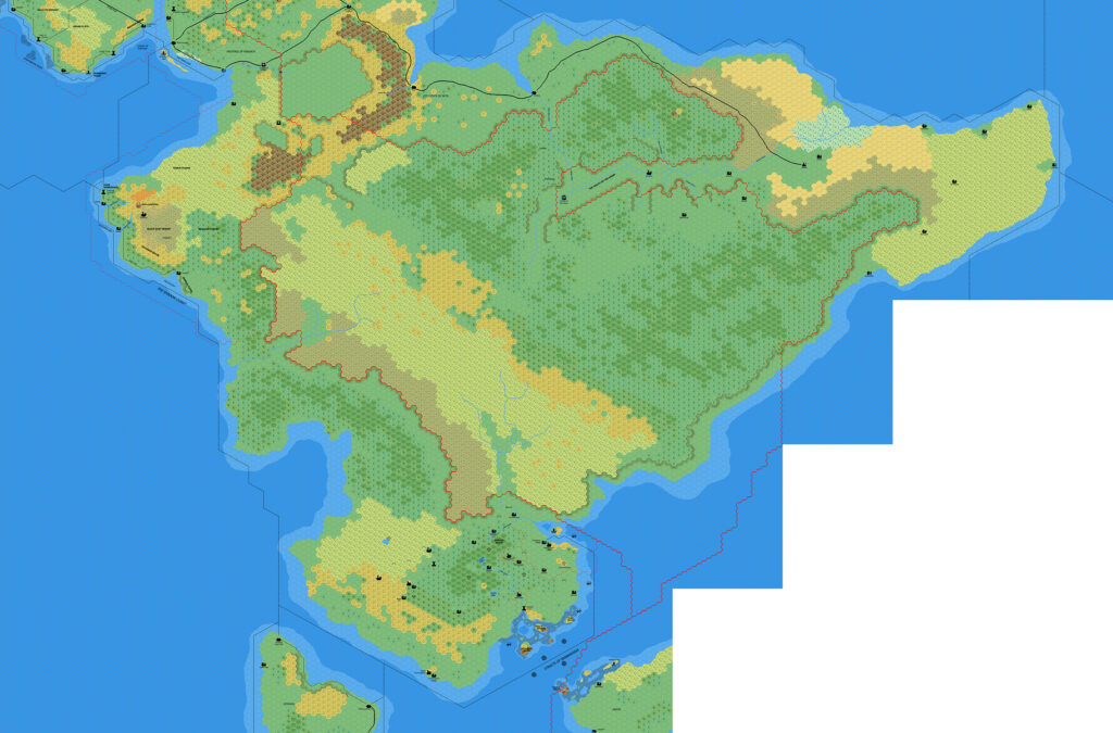
- Ramelin’s Northeastern Brun, 8 miles per hex v4 (March 2017)
References
- All of Jose’s maps at the Atlas of Mystara
- Jose’s entry in Appendix M: Mappers of Mystara (upcoming)
- Jose’s author page at the Vaults of Pandius
Chronological Analysis
This is a fan-made map. It was published in March 2017. The updated Atlas version of this map is not yet available. See also Appendix C for annual chronological snapshots of the area. For the full context of this map in Mystara’s publication history, see the upcoming Let’s Map Mystara 2017.
The following lists are from the Let’s Map Mystara project. Additions are new features, introduced in this map. Revisions are changes to previously-introduced features. Hex Art & Fonts track design elements. Finally, Textual Additions are potential features found in the related text. In most cases, the Atlas adopts these textual additions into updated and chronological maps.
Under Construction! Please check back again soon for updates.
Additions
- Settlements —
Revisions
- Settlements —
Hex Art & Fonts
- Fonts — Bell MT (major geographic and all water labels), Bell Centennial (all other labels), Feinen (titling).
- Hex Art — Ramelin Mystara standard.
")

