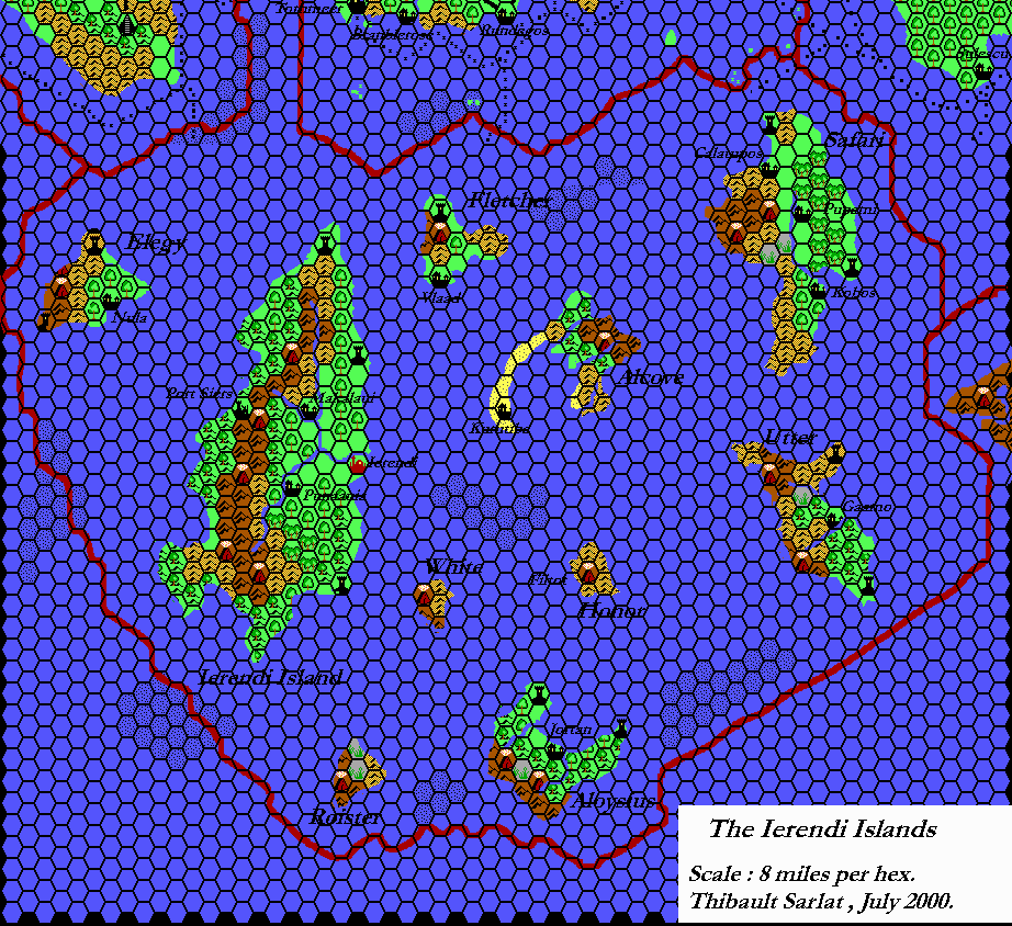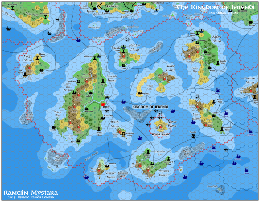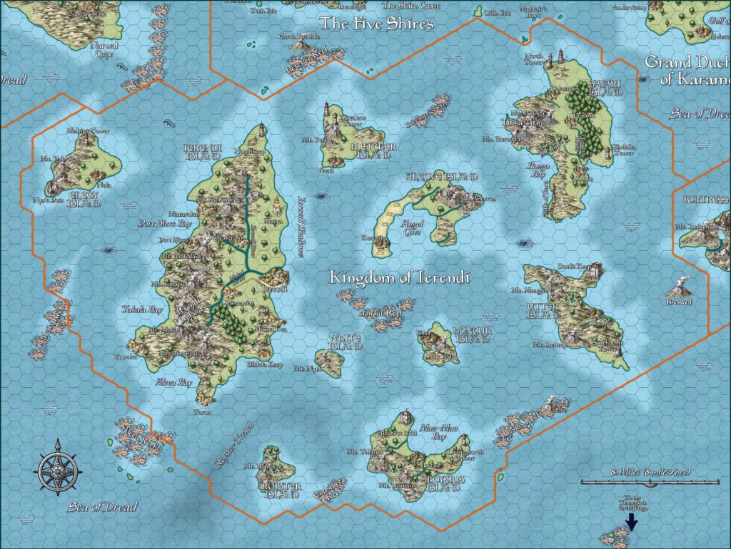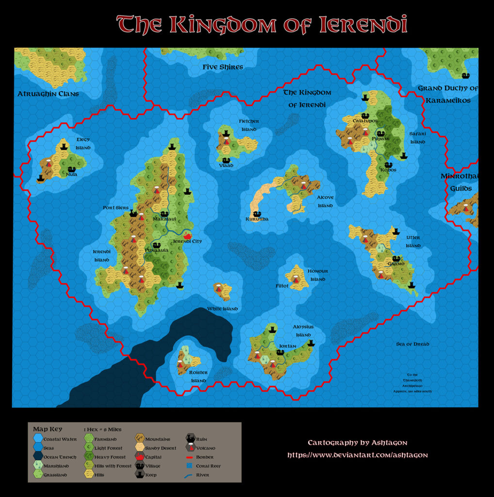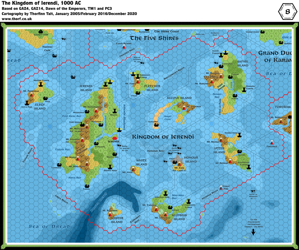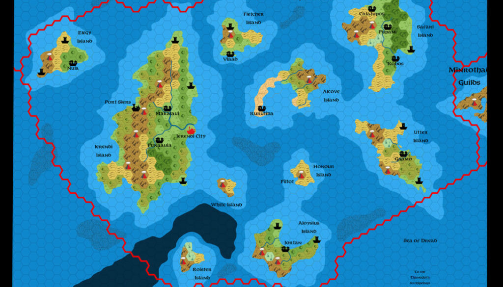
Ashtagon’s GAZ4 Ierendi, 8 miles per hex
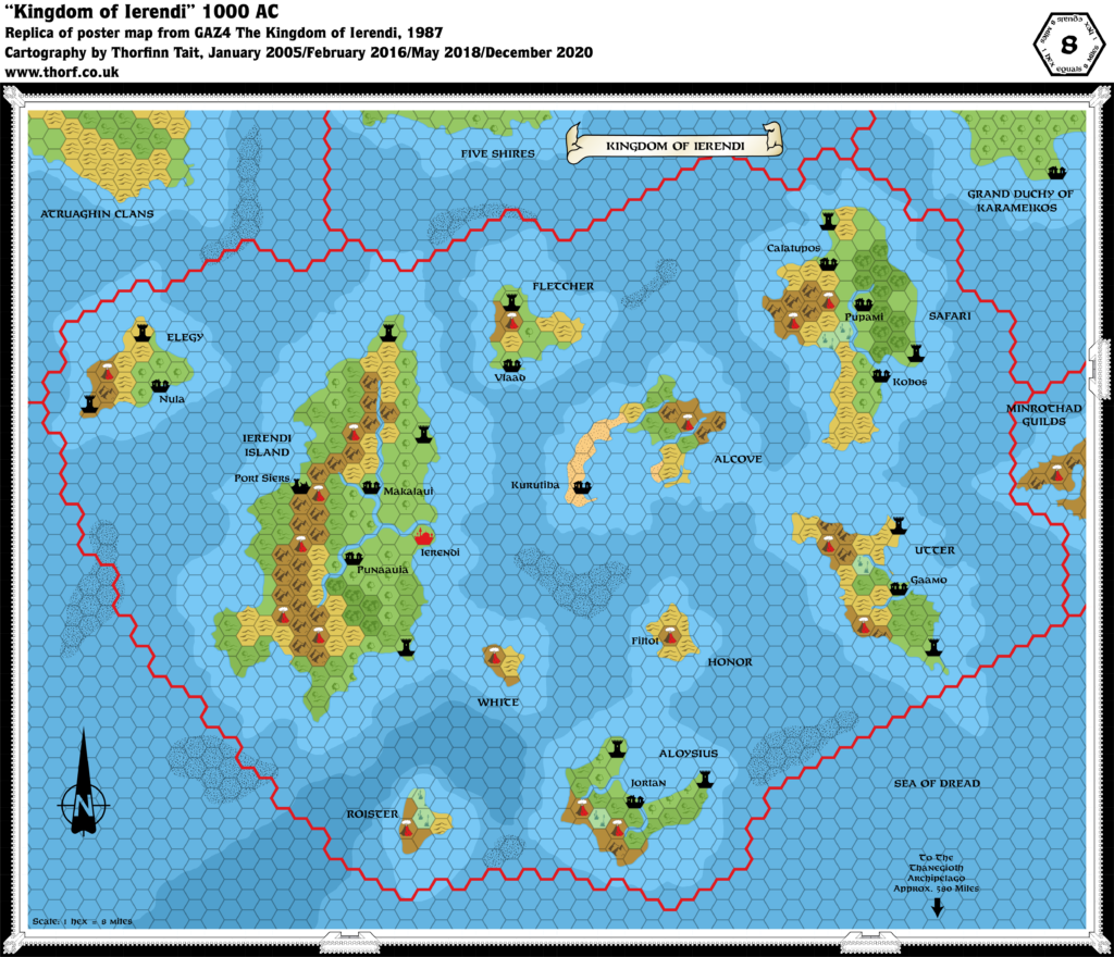
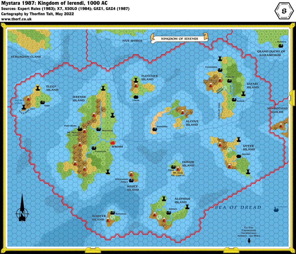
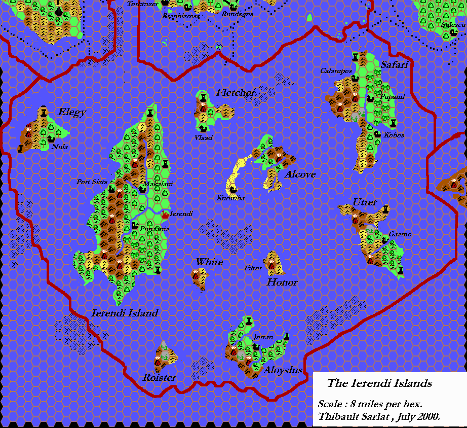
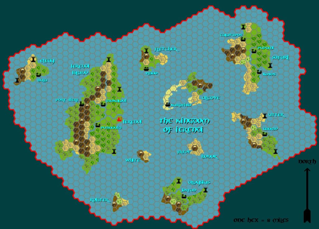
After a six month break, Emma returned to her replica Gazetteer maps with GAZ4’s Kingdom of Ierendi. As usual, she mainly stuck to the source map, incorporating her own revised hex art and palette. The farmlands and grasslands were her own addition.
She posted some thoughts about the map at The Piazza:
There’s a huge number of volcanoes. I’m guessing it’s because volcanoes are hard to explain away as never having been marked on a map before, and having lots of them means that if the GM needs a nearby volcano to make an adventure work, there’s one not too far away.
I always thought coral reefs need to be in relatively shallow water. But this map has ever reef that is shown as being in moderately deep water. Surely if the reef is not in shallow water, it wouldn’t be close enough to the surface to be a navigation hazard, or is there something else at play here?
Her point about the coral reefs especially struck home with me, as I had wondered the same thing. Later in the thread she posted a follow-up on this topic:
I had a quick look at the map from PC3 (the undersea one), and it shows revised undersea contours. The coral reefs there are all either on the shallowest contour or straddling the edge of the top two levels. So clearly someone in TSR’s cartography department realised there was something wonky about the GAZ4 undersea contours.
Fan-made Map by Emma Rome (August 2024)
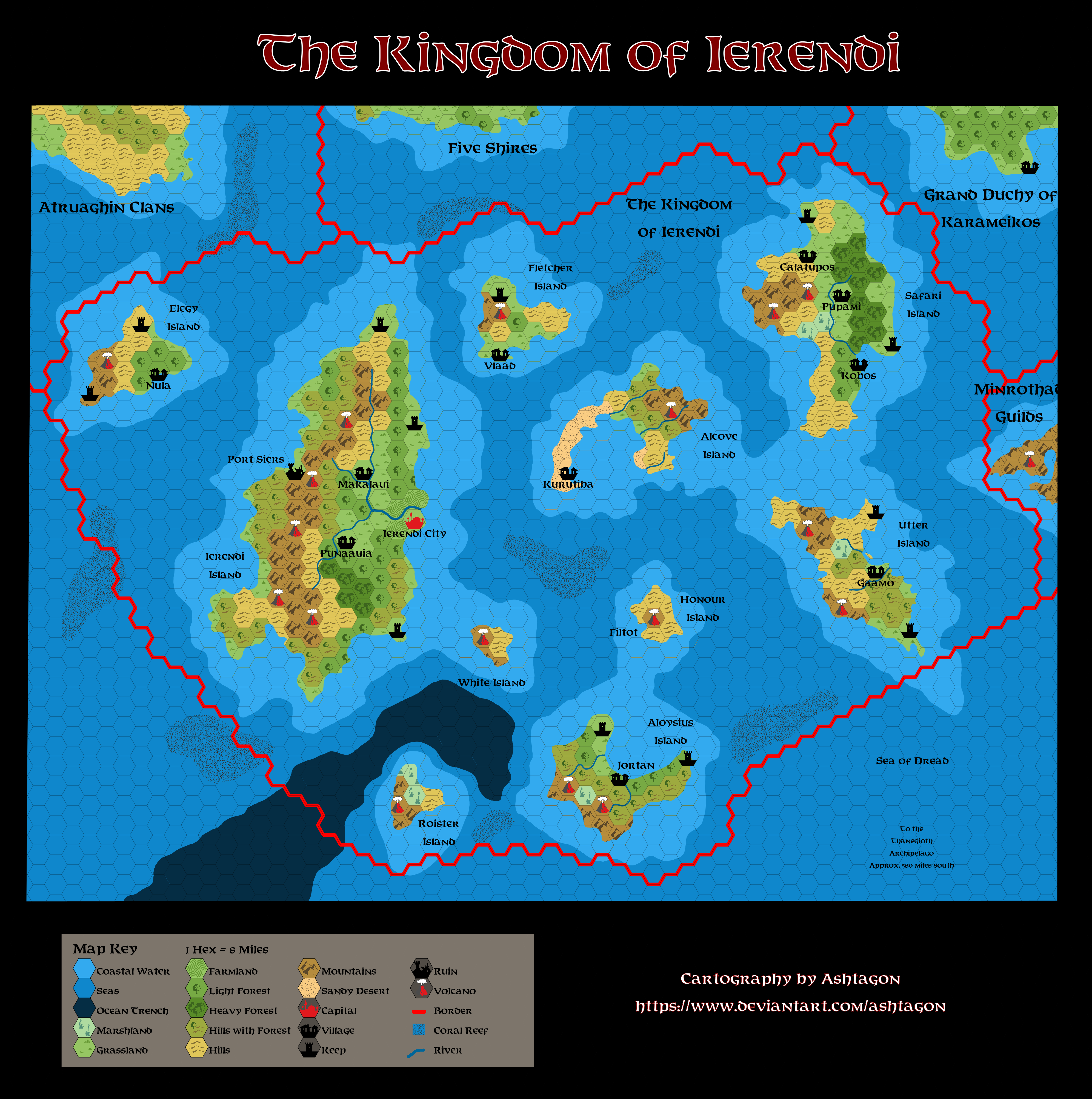
This is an original map created by one of Mystara’s excellent fan cartographers. For more information on the cartographer, including a gallery of all their maps, see also Appendix M: Mappers of Mystara.
Sources
- GAZ4 The Kingdom of Ierendi (1987) (PDF at DriveThruRPG)
Fan Sources
- Musings on Map Symbols discussion thread at The Piazza (February 2022)
- The Kingdom of Ierendi discussion thread at The Piazza (August 2024)
References
- All of Emma’s maps at the Atlas of Mystara
- Emma’s entry in Appendix M: Mappers of Mystara (upcoming)
- Emma’s author page at the Vaults of Pandius
Chronological Analysis
This is a fan-made map. It was published in August 2024. The updated Atlas version of this map is Ierendi, 8 miles per hex. See also Appendix C for annual chronological snapshots of the area. For the full context of this map in Mystara’s publication history, see the upcoming Let’s Map Mystara 2024.
The following lists are from the Let’s Map Mystara project. Additions are new features, introduced in this map. Revisions are changes to previously-introduced features. Hex Art & Fonts track design elements. Finally, Textual Additions are potential features found in the related text. In most cases, the Atlas adopts these textual additions into updated and chronological maps.
Under Construction! Please check back again soon for updates.