
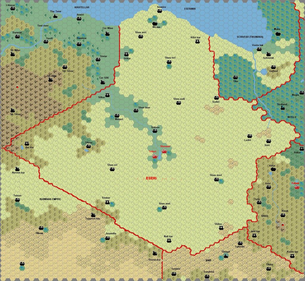
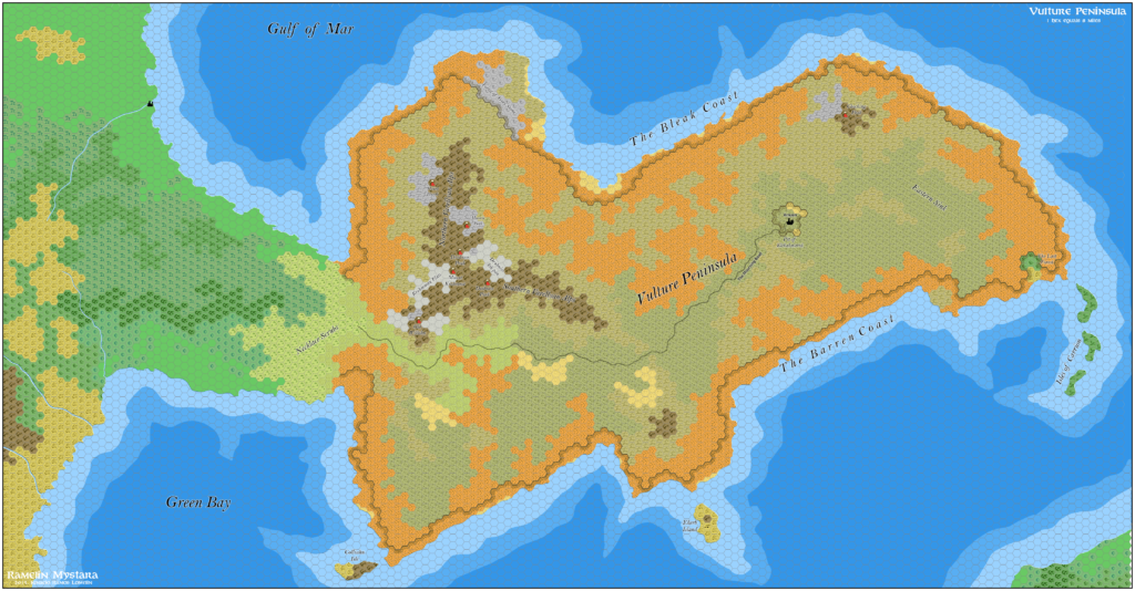
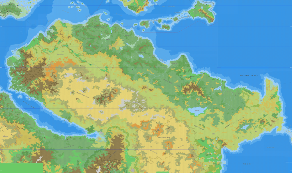
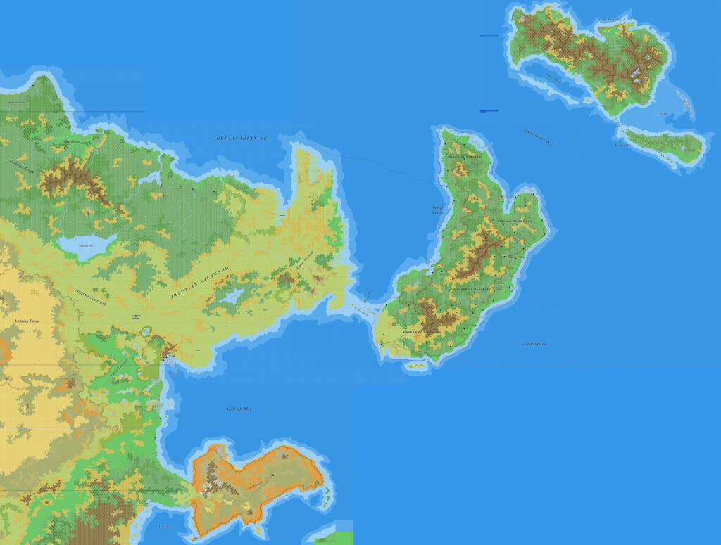
Ramelin’s Northeastern Davania, 8 miles per hex
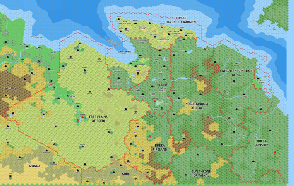
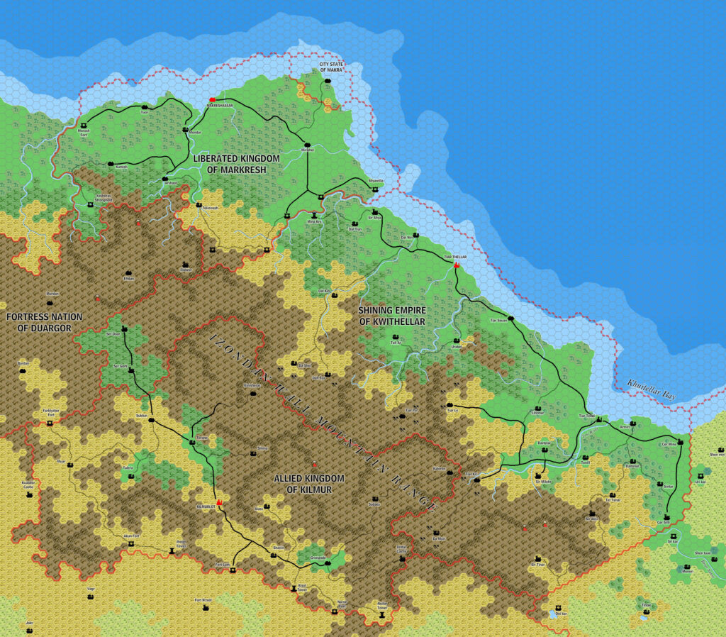
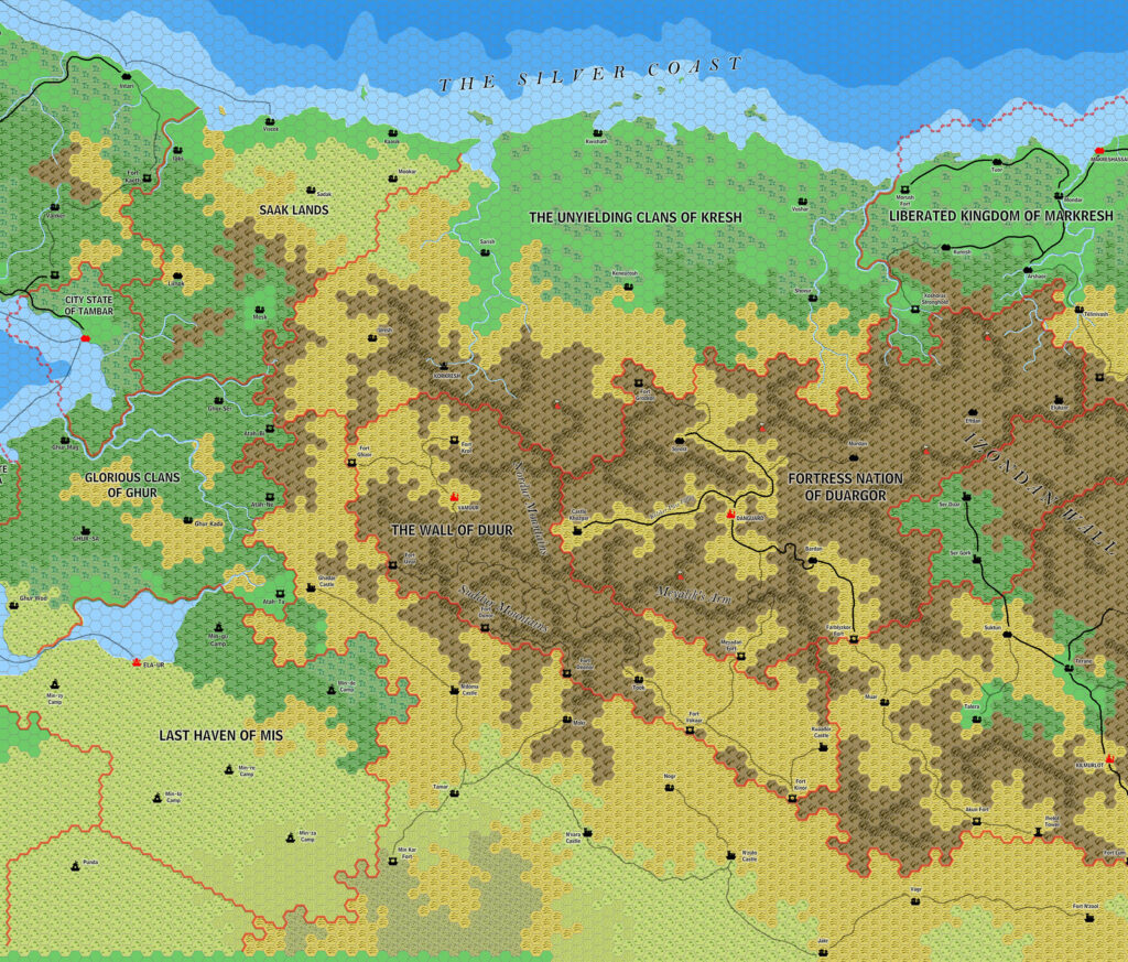
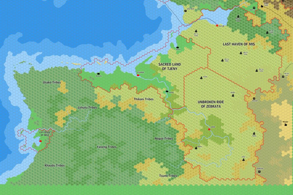
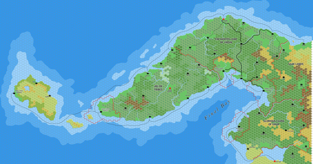
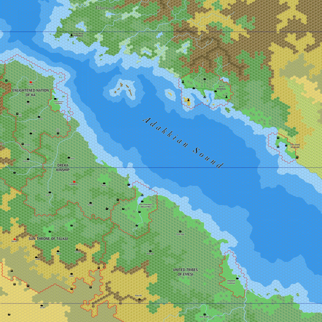
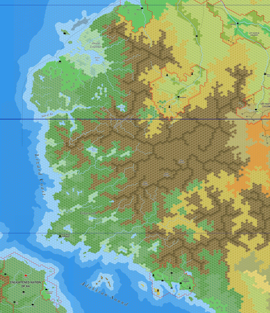
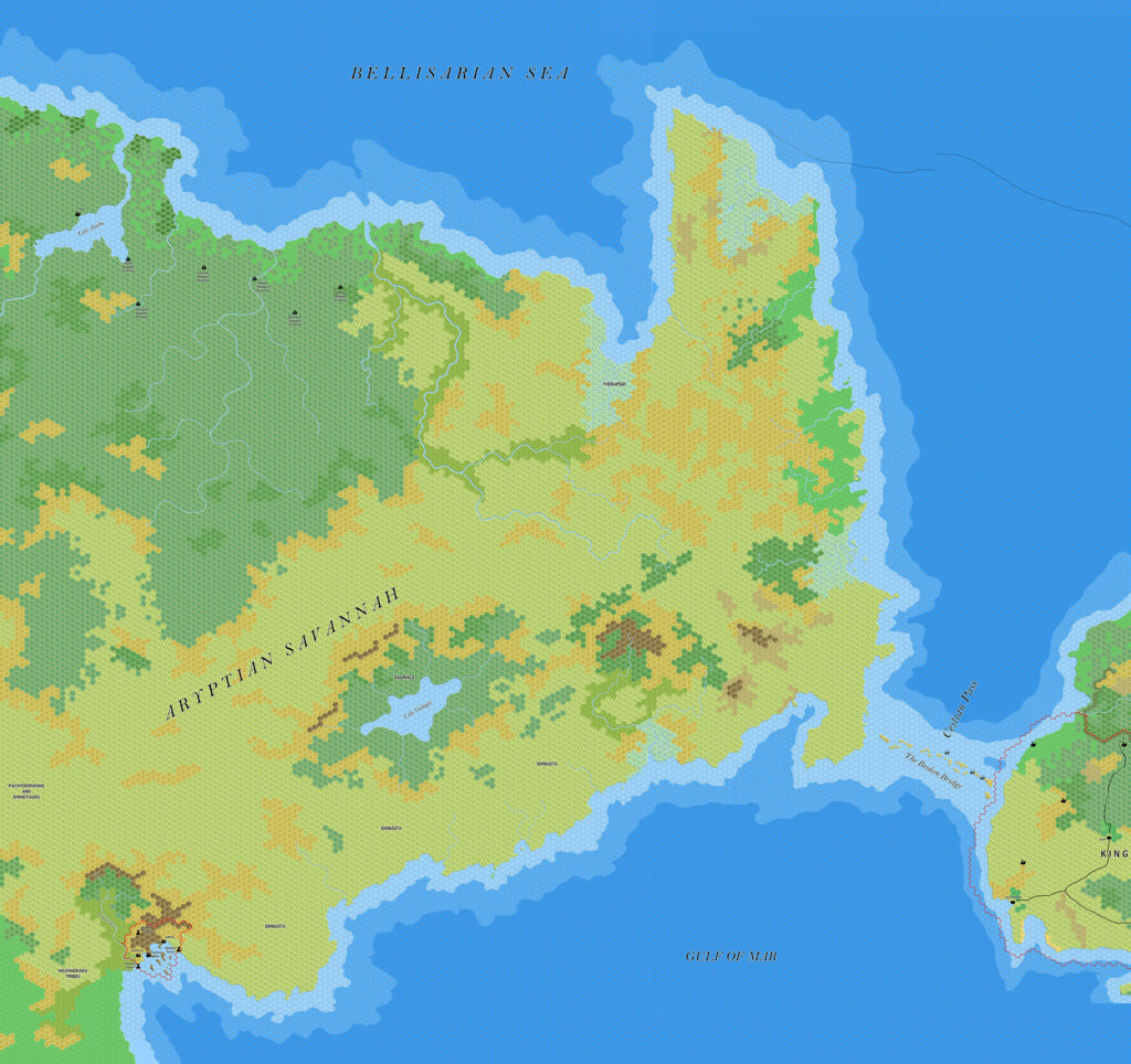
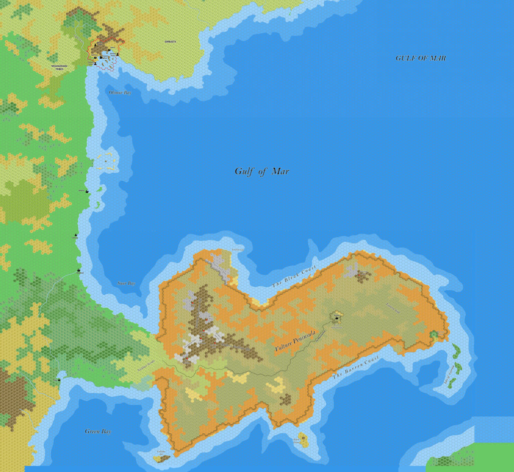
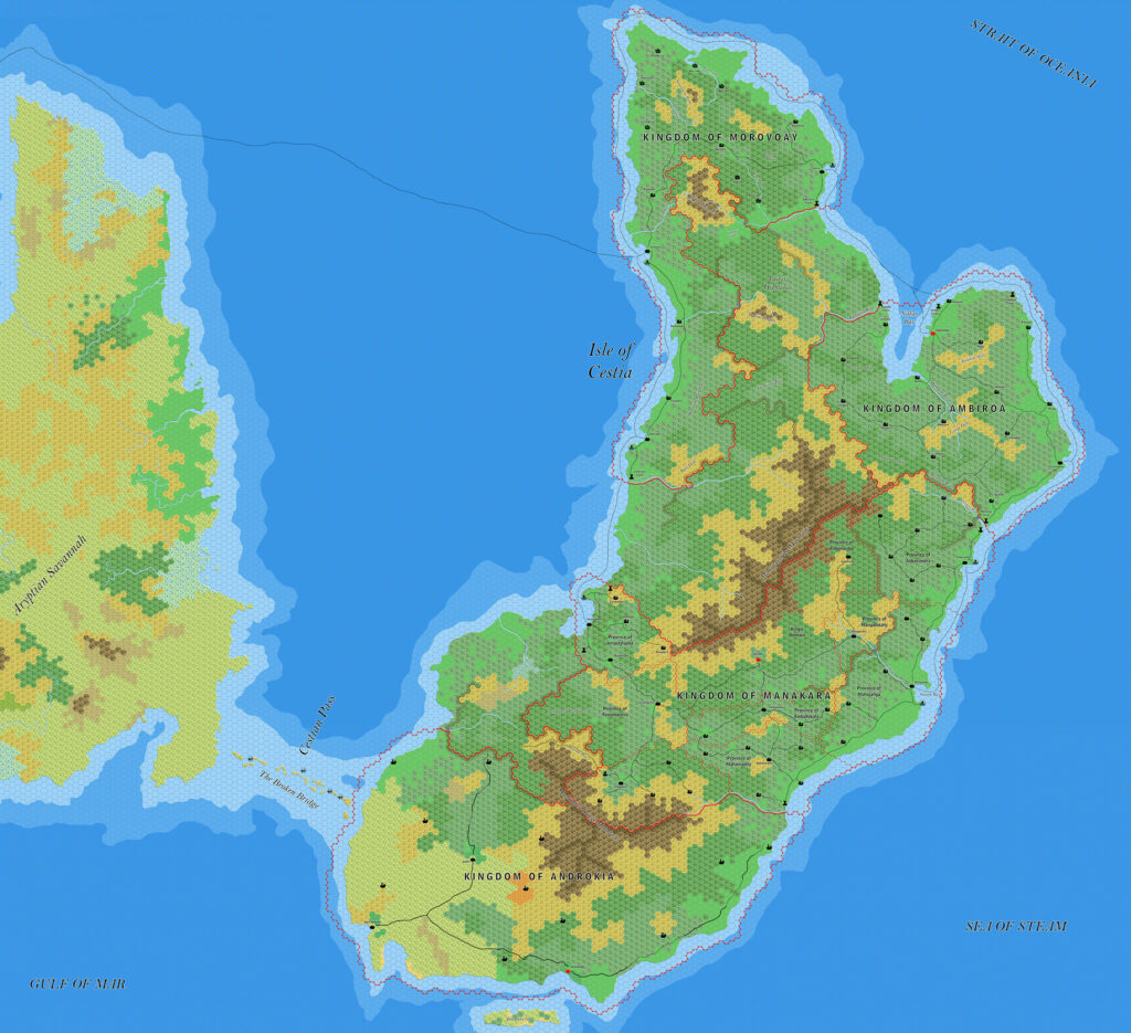
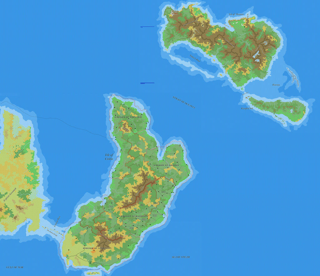
The third of Jose’s set of three massive Davania maps in February 2018 was this map connecting the Jungle Coast and the Aryptian Peninsula with the Vulture Peninsula in the south, as well as Cestia and Oceania in the northeast. By and large it was a composite of previous maps, with little changes — except in one place: Cestia.
The previous version of Cestia had begun the process of adding detail, but left much of the island without settlements. He fixed much of that in this map, along with some other tweaks to borders. The new settlements were not yet labelled, but he would revisit Cestia with a new version a few months later to add some.
With this map, Ramelin Mystara’s Davania now extended all the way from Final Bay, across Izonda to the Adakkian Sound, all round the Jungle Coast of Fricana, to the Aryptian Peninsula and Cestia out to Oceania, then south to the Vulture Peninsula, with Green Bay peeping on to the southern edge. That’s thousands upon thousands of miles or coastline and terrain, all mapped at 8 miles per hex. A truly astounding achievement.
Fan-made Map by Jose Ignacio Ramos Lomelin (February 2018)

This is an original map created by one of Mystara’s excellent fan cartographers. For more information on the cartographer, including a gallery of all their maps, see also Appendix M: Mappers of Mystara.
The map above is a lower resolution preview. To download the full size version, please follow the link (right click and choose “Save Link As…” or equivalent). Mobile Users, please note that it may not be possible to view the full resolution image on your device due to its large size.
Sources
- Hollow World Campaign Set (1990) (PDF at DriveThruRPG)
Fan Sources
- Ramelin’s Vulture Peninsula, 8 miles per hex v2 (July 2017)
- Ramelin’s Aryptian Peninsula, 8 miles per hex (November 2017)
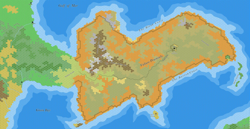
- Ramelin’s Gulf of Mar, 8 miles per hex (November 2017)
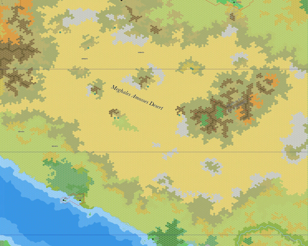
- Ramelin’s Meghales Amosses Desert, 8 miles per hex (January 2018)
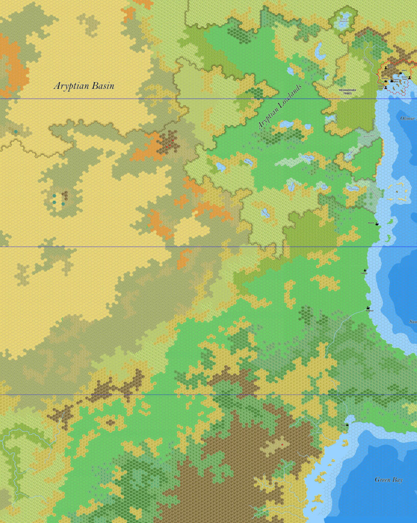
- Ramelin’s Aryptian Basin, 8 miles per hex (February 2018)
- Ramelin’s Fricana, 8 miles per hex v1 (February 2018)
References
- All of Jose’s maps at the Atlas of Mystara
- Jose’s entry in Appendix M: Mappers of Mystara (upcoming)
- Jose’s author page at the Vaults of Pandius
Chronological Analysis
This is a fan-made map. It was published in February 2018. The updated Atlas version of this map is not yet available. See also Appendix C for annual chronological snapshots of the area. For the full context of this map in Mystara’s publication history, see the upcoming Let’s Map Mystara 2018.
The following lists are from the Let’s Map Mystara project. Additions are new features, introduced in this map. Revisions are changes to previously-introduced features. Hex Art & Fonts track design elements. Finally, Textual Additions are potential features found in the related text. In most cases, the Atlas adopts these textual additions into updated and chronological maps.
Under Construction! Please check back again soon for updates.
Additions
- Settlements —
Revisions
- Settlements —
Hex Art & Fonts
- Hex Art — Ramelin Mystara standard.
- Fonts — Bell MT (major geographic and all water labels), Bell Centennial (all other labels), Feinen (titling).
")
")
