
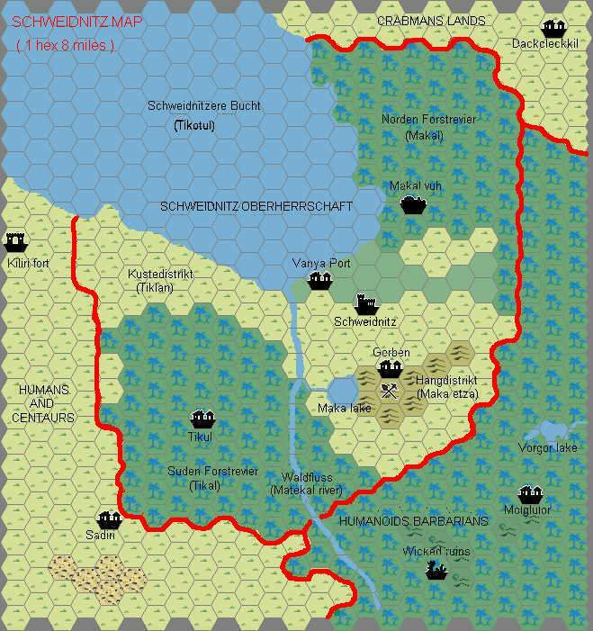
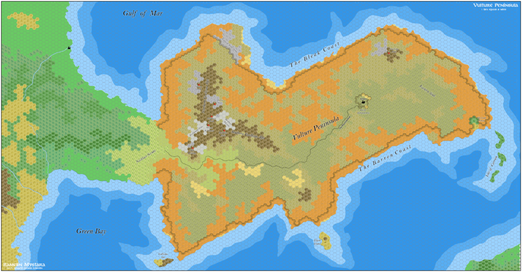
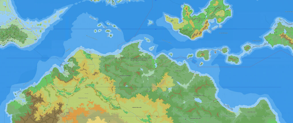
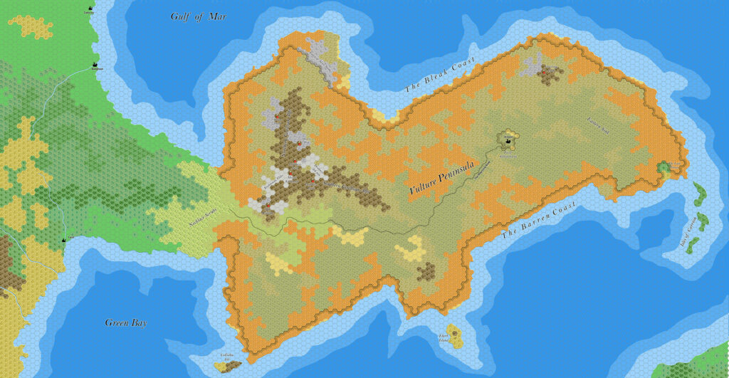
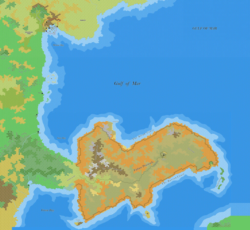
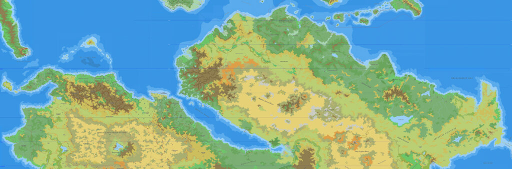
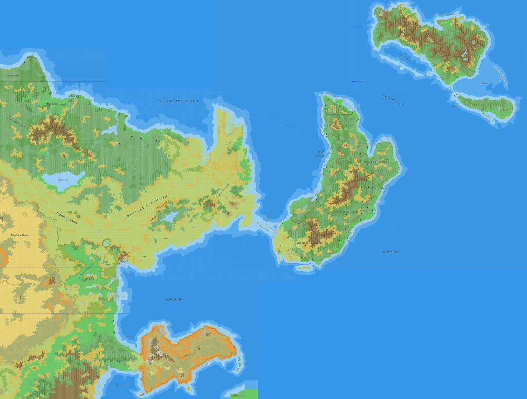
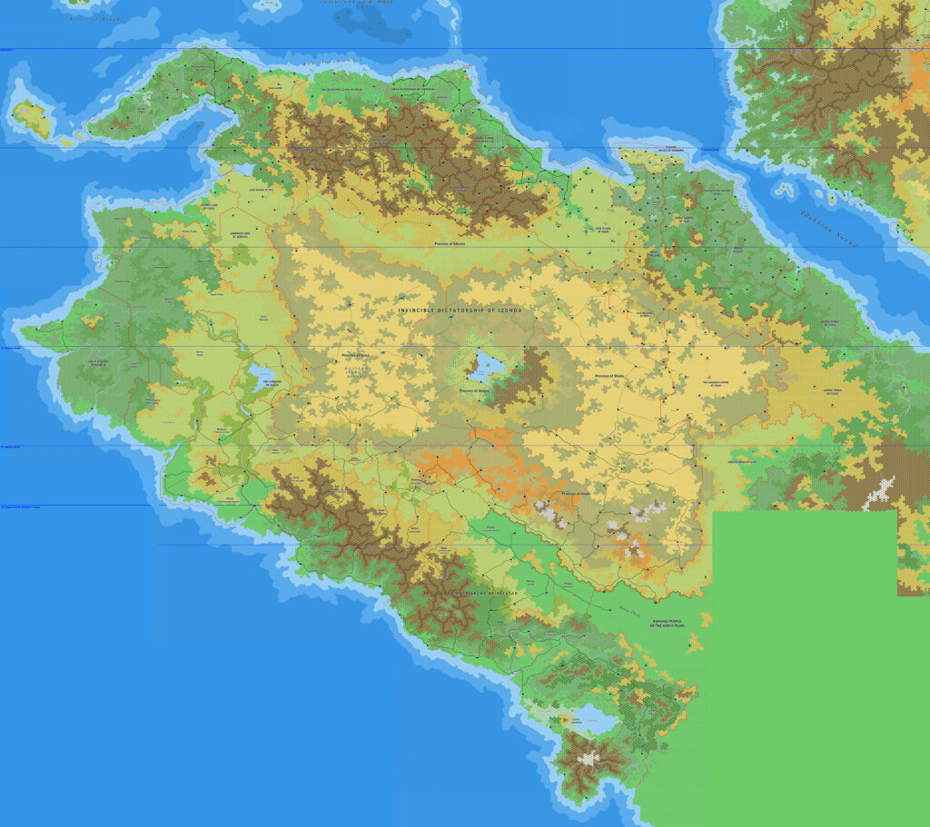
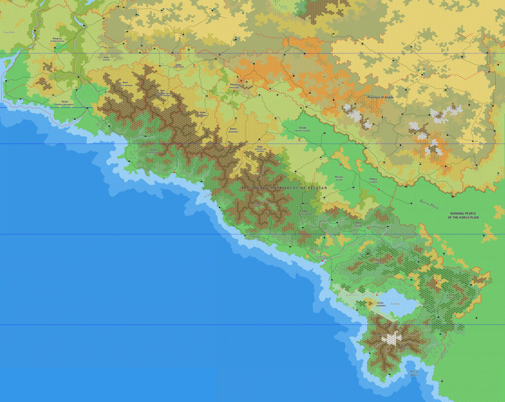
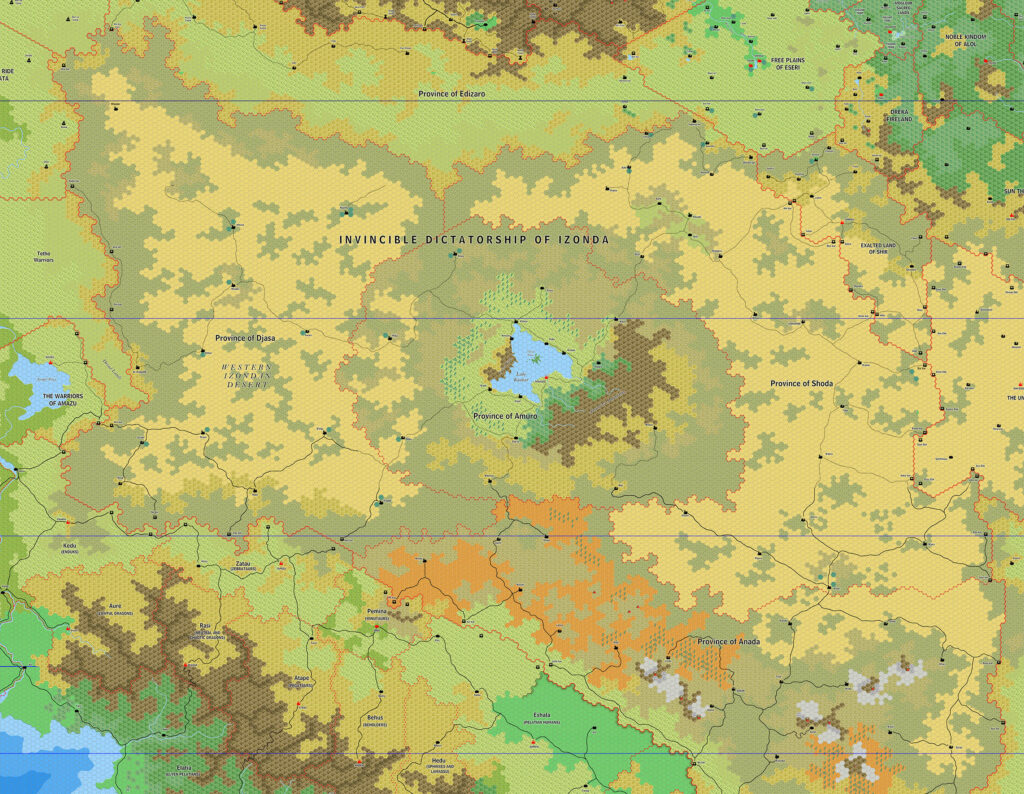
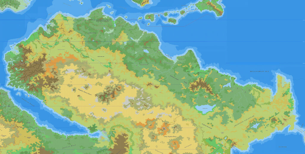
Ramelin’s Samarak, 8 miles per hex
Just one week after he completed Fricana, Northern Davania, and Northeastern Davania, Jose finished this new map of Samarak. Some years later he shared it to his DeviantArt gallery.
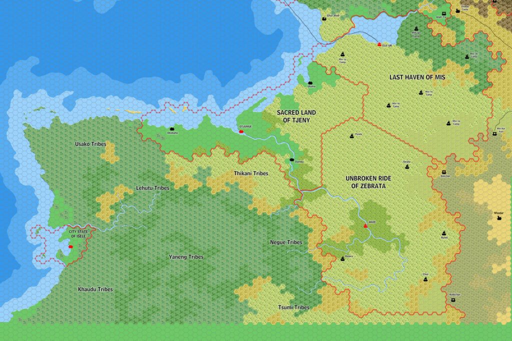
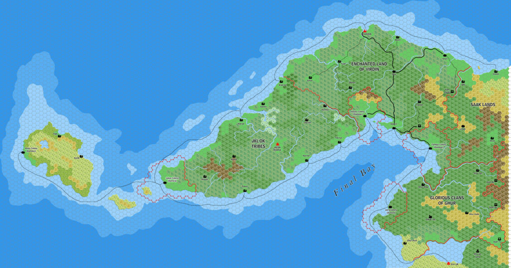
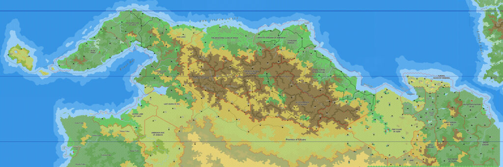
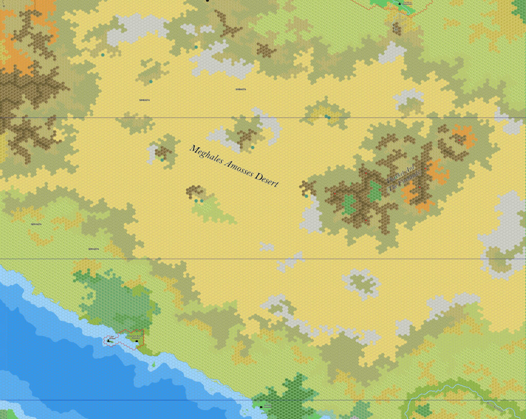
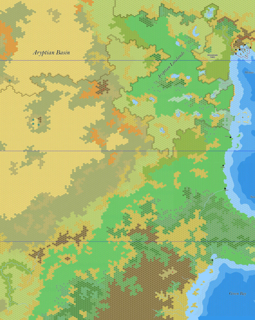
Everything south of the 20ºS line was new in this map: the Golden Matriarchy of Pelatan and its surrounding nations, along with the southern provinces of the Invincible Dictatorship of Izonda. That’s quite a chunk of terrain. As with most of his Davania work in this region, Jose used Francesco Defferrari’s Izonda & Pelatan, 24 miles per hex as his base, adding terrain details throughout. And similarly, he mostly refrained from adding settlements beyond those on the original map.
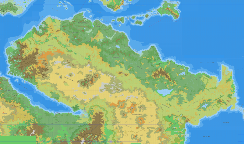
This map could certainly do with more development, but due to its sheer scope Jose’s priority was probably to first get it built. Further development of southwestern Davania is of course a long term dream of many in the community, so hopefully there will be future updates from both Jose and others.
Fan-made Map by Jose Ignacio Ramos Lomelin (February 2018)
This is an original map created by one of Mystara’s excellent fan cartographers. For more information on the cartographer, including a gallery of all their maps, see also Appendix M: Mappers of Mystara.
Sources
- Hollow World Campaign Set (1990) (PDF at DriveThruRPG)
Fan Sources
- Sturm’s Izonda & Pelatan, 24 miles per hex (March 2011)
- Ramelin’s Fricana, 8 miles per hex v1 (February 2018)
- Ramelin’s Northern Davania, 8 miles per hex (February 2018)
References
- All of Jose’s maps at the Atlas of Mystara
- Jose’s entry in Appendix M: Mappers of Mystara (upcoming)
- Jose’s author page at the Vaults of Pandius
Chronological Analysis
This is a fan-made map. It was published in February 2018. The updated Atlas version of this map is not yet available. See also Appendix C for annual chronological snapshots of the area. For the full context of this map in Mystara’s publication history, see the upcoming Let’s Map Mystara 2018.
The following lists are from the Let’s Map Mystara project. Additions are new features, introduced in this map. Revisions are changes to previously-introduced features. Hex Art & Fonts track design elements. Finally, Textual Additions are potential features found in the related text. In most cases, the Atlas adopts these textual additions into updated and chronological maps.
Under Construction! Please check back again soon for updates.
Additions
- Settlements —
Revisions
- Settlements —
Hex Art & Fonts
- Hex Art — Ramelin Mystara standard.
- Fonts — Bell MT (major geographic and all water labels), Bell Centennial (all other labels), Feinen (titling).
")
")
