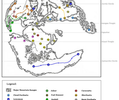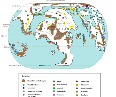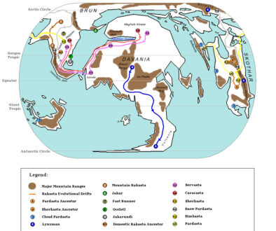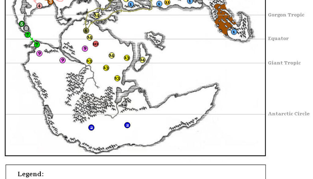
Zendrolion’s Rakasta 2,000 BC to 0 AC
By the time depicted in the penultimate map in Simone’s eight map Rakasta of Mystara series, the major migrations of rakasta populations had mostly run their course. There were just a few movements in this period.
On the other hand, this was also the period in which Simone’s conception of the Tangor Peninsula was formed. A glance at the previous map (as well as Michele Carpita’s historical maps of the same period) will show that they envisaged a cataclysm in the area to explain the stark difference between the Hollow World Set Precataclysmic map and the Master Set world map. Specifically, the former has the Tangor Peninsula broken up. Simone and Michele posited that there was some form of uprising of land to form the modern peninsula. This is visible on this map as the brown area.
Fan-made Map by Simone Neri (August 2008)
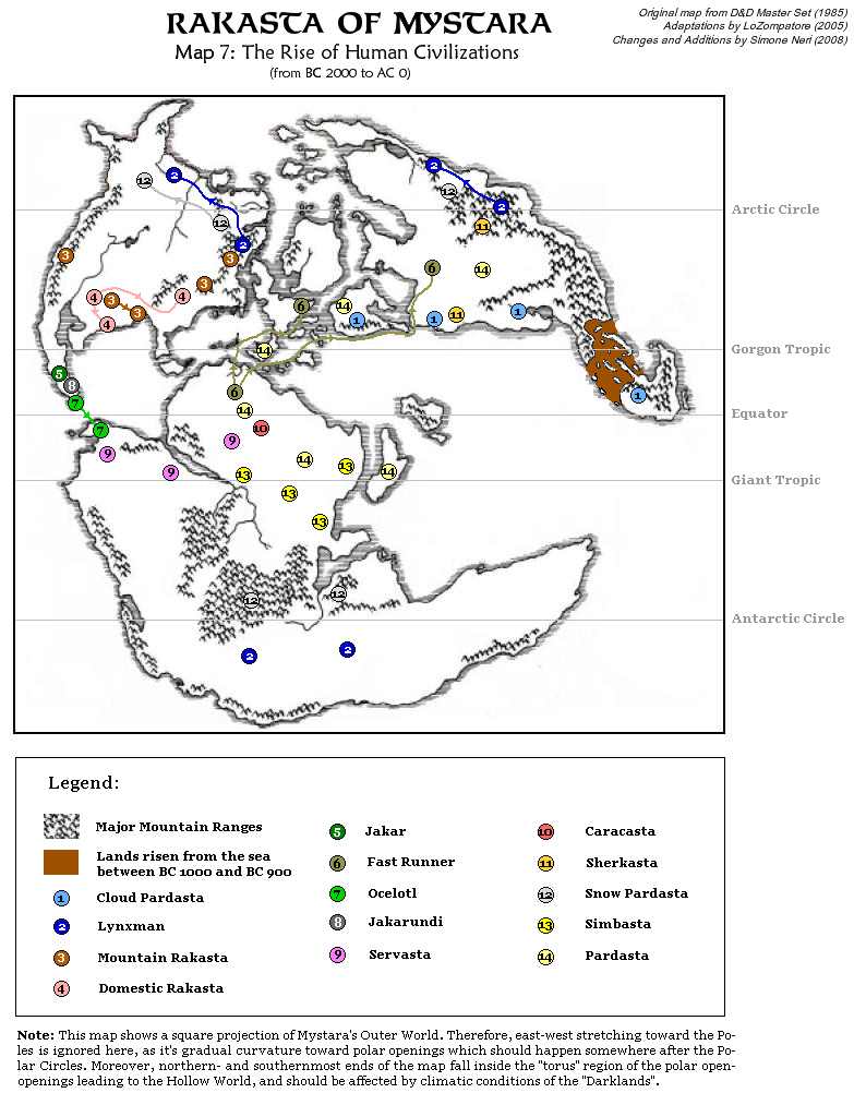
This is an original map created by one of Mystara’s excellent fan cartographers. For more information on the cartographer, including a gallery of all their maps, see also Appendix M: Mappers of Mystara.
Sources
- Master Rules Set (1985) (PDF at DriveThruRPG)
- Hollow World Campaign Set (1990) (PDF at DriveThruRPG)
Fan Sources
- LoZompatore’s Precataclysmic Mystara (Evergrun) (August 2005)
- History and Evolution of Rakastas discussion thread at The Piazza (August 2008)
- History and Evolution of Rakastas at the Vaults of Pandius (August 2008)
- Zendrolion’s Mystara Precataclysmic (August 2008)
- Zendrolion’s Rakasta 150,000 to 78,000 BC (August 2008)
- Zendrolion’s Rakasta 78,000 to 48,000 BC (August 2008)
- Zendrolion’s Rakasta 48,000 to 40,000 BC (August 2008)
- Zendrolion’s Rakasta 40,000 to 35,000 BC (August 2008)
References
- All of Simone’s maps at the Atlas of Mystara
- Simone’s entry in Appendix M: Mappers of Mystara (upcoming)
- Simone’s author page at the Vaults of Pandius
Chronological Analysis
This is a fan-made map. It was published in August 2008. The updated Atlas version of this map is not yet available. See also Appendix C for annual chronological snapshots of the area. For the full context of this map in Mystara’s publication history, see the upcoming Let’s Map Mystara 2008.
The following lists are from the Let’s Map Mystara project. Additions are new features, introduced in this map. Revisions are changes to previously-introduced features. Hex Art & Fonts track design elements. Finally, Textual Additions are potential features found in the related text. In most cases, the Atlas adopts these textual additions into updated and chronological maps.
Under Construction! Please check back again soon for updates.
Additions
- XXX —
Revisions
- XXX —
Hex Art & Fonts
- Hex Art —
- Fonts —