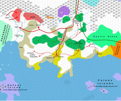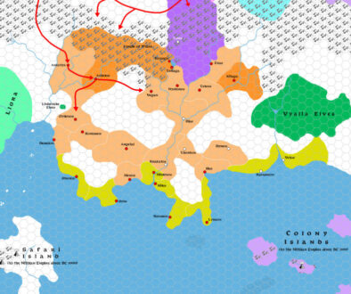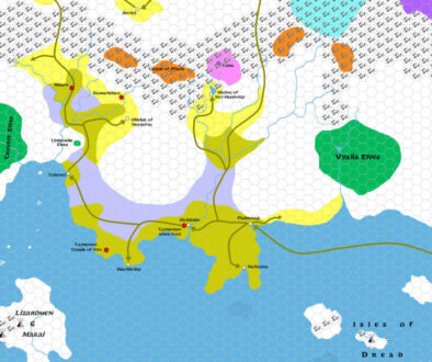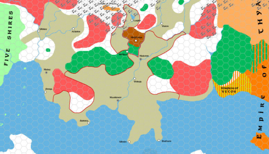
Zendrolion’s Traladara 458 BC to 350 AC, 8 miles per hex
This map was the fourth map of seven in Simone’s History of Karameikos article — the midpoint. It covered the period of rebirth after the Dark Age. Some relevant quotes from the article:
Toward the end of the first millennium BC, Marilenev arose to become the major city of Traladara, followed by Halavos (built near the site of old Lavv), Lugsid (a settlement born of the shore of Lake Windrush), and other towns.
The end of the Dark Age also saw the first successful attempt at uniting the Traladaran communities into one kingdom.
The turn of the first millennium AC marked the beginning of an age of rapid demographic growth for Traladara.
The modern extent of Karameikos was already somewhat visible by this era, although there would be all sorts of events and disasters in the intervening time.
Fan-made Map by Simone Neri (September 2013)
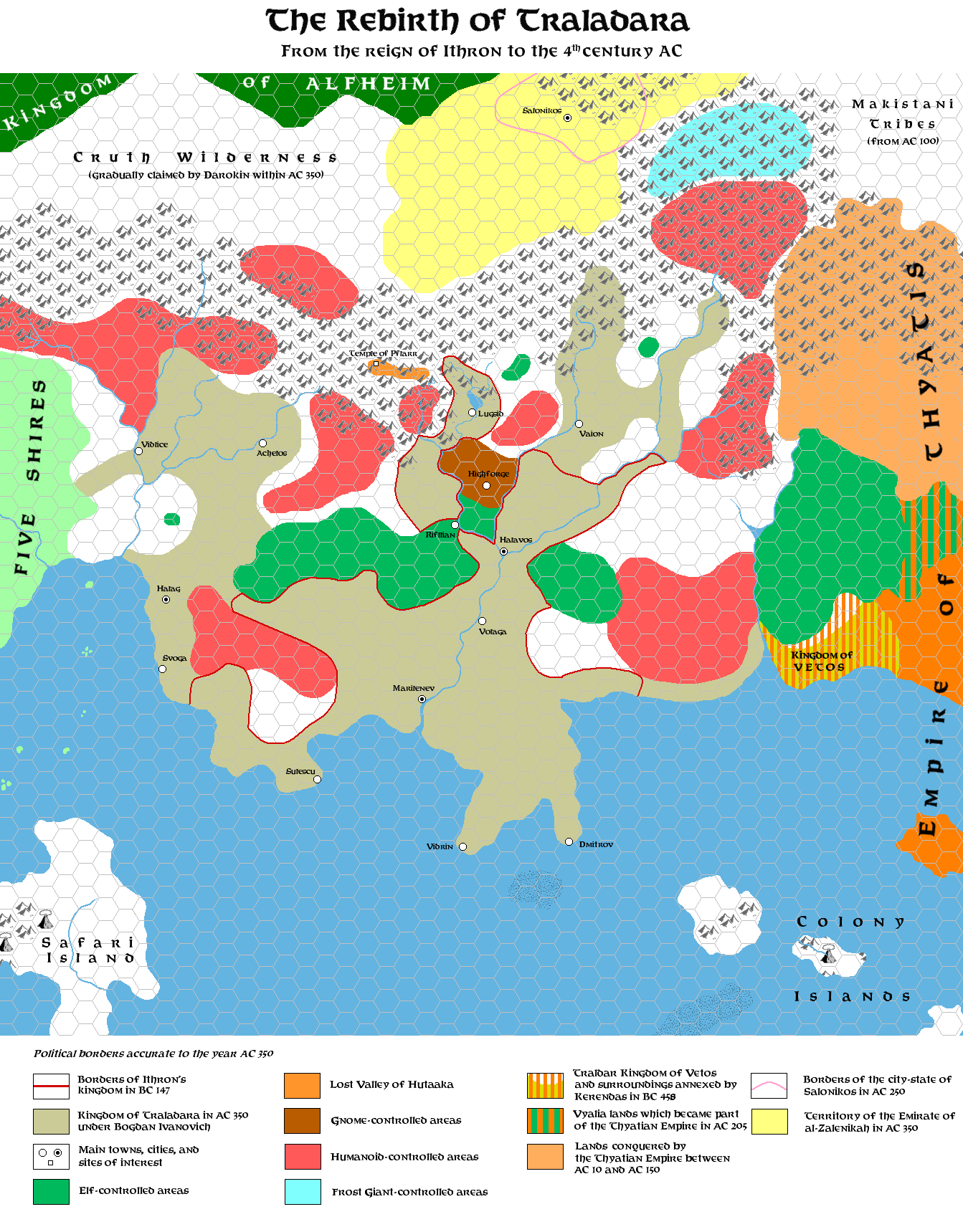
This is an original map created by one of Mystara’s excellent fan cartographers. For more information on the cartographer, including a gallery of all their maps, see also Appendix M: Mappers of Mystara.
Sources
- GAZ1 The Grand Duchy of Karameikos (1987) (PDF at DriveThruRPG)
Fan Sources
- The History of Karameikos from Threshold Magazine #1 at the Vaults of Pandius (September 2013)
- Zendrolion’s Traladara 1500 BC, 8 miles per hex (September 2013)
- Zendrolion’s Traladara 1100-992 BC, 8 miles per hex (September 2013)
- Zendrolion’s Traladara 929-480 BC, 8 miles per hex (September 2013)
References
- All of Simone’s maps at the Atlas of Mystara
- Simone’s entry in Appendix M: Mappers of Mystara (upcoming)
- Simone’s author page at the Vaults of Pandius
Chronological Analysis
This is a fan-made map. It was published in September 2013. The updated Atlas version of this map is not yet available. See also Appendix C for annual chronological snapshots of the area. For the full context of this map in Mystara’s publication history, see the upcoming Let’s Map Mystara 2013.
The following lists are from the Let’s Map Mystara project. Additions are new features, introduced in this map. Revisions are changes to previously-introduced features. Hex Art & Fonts track design elements. Finally, Textual Additions are potential features found in the related text. In most cases, the Atlas adopts these textual additions into updated and chronological maps.
Under Construction! Please check back again soon for updates.
Additions
- XXX —
Revisions
- XXX —
Hex Art & Fonts
- Hex Art —
- Fonts —