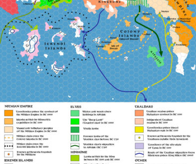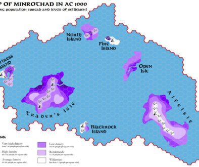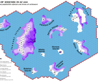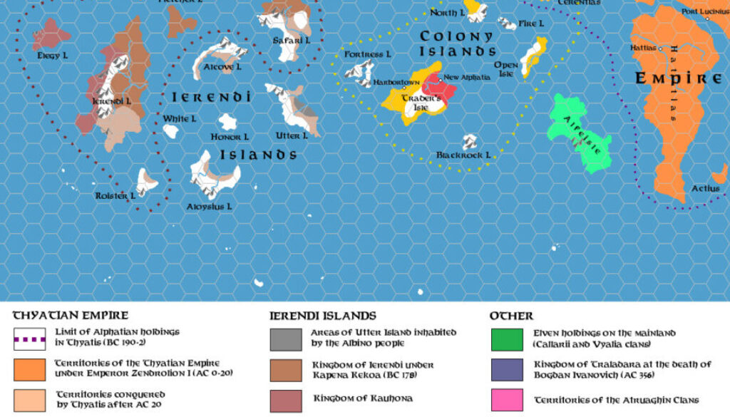
Zendrolion’s Ierendi and Colony Islands 500 BC to 400 AC, 24 miles per hex
This was the second map in Simone’s History of Ierendi and Minrothad Part 1 article, in Threshold #3. It followed on from the 1300-600 BC map, illustrating another 900 years of the region’s history. This was quite an interesting period, with a lot going on. Simone introduced this period as follows:
The disappearance of the Nithian Empire had quite different consequences on the two halves of the island chain which included the modern Ierendi and Minrothad archipelagos, which developed along widely diverging lines in the five centuries before the crowning of the first Thyatian Emperor.
What’s striking is the different colours appearing in each island group, indicating various power struggles and conflicts over control of each group. This would continue for some time.
Simone would continue his historical exploration in the next issue of Threshold.
Fan-made Map by Simone Neri (March 2014)
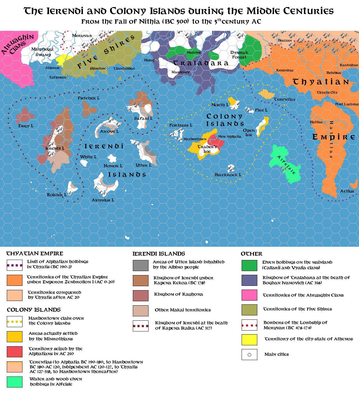
This is an original map created by one of Mystara’s excellent fan cartographers. For more information on the cartographer, including a gallery of all their maps, see also Appendix M: Mappers of Mystara.
Sources
Fan Sources
- The History of Ierendi and Minrothad part I from Threshold Magazine #3 (March 2014)
References
- All of Simone’s maps at the Atlas of Mystara
- Simone’s entry in Appendix M: Mappers of Mystara (upcoming)
- Simone’s author page at the Vaults of Pandius
Chronological Analysis
This is a fan-made map. It was published in March 2014. The updated Atlas version of this map is not yet available. See also Appendix C for annual chronological snapshots of the area. For the full context of this map in Mystara’s publication history, see the upcoming Let’s Map Mystara 2014.
The following lists are from the Let’s Map Mystara project. Additions are new features, introduced in this map. Revisions are changes to previously-introduced features. Hex Art & Fonts track design elements. Finally, Textual Additions are potential features found in the related text. In most cases, the Atlas adopts these textual additions into updated and chronological maps.
Under Construction! Please check back again soon for updates.
Additions
- XXX —
Revisions
- XXX —
Hex Art & Fonts
- Hex Art —
- Fonts —