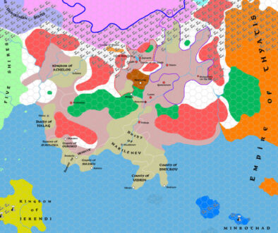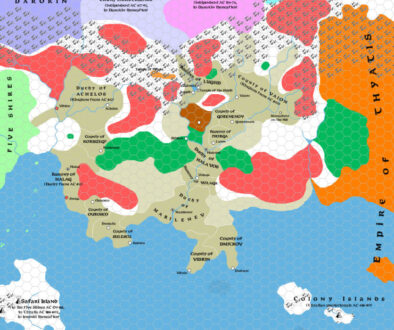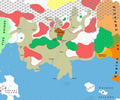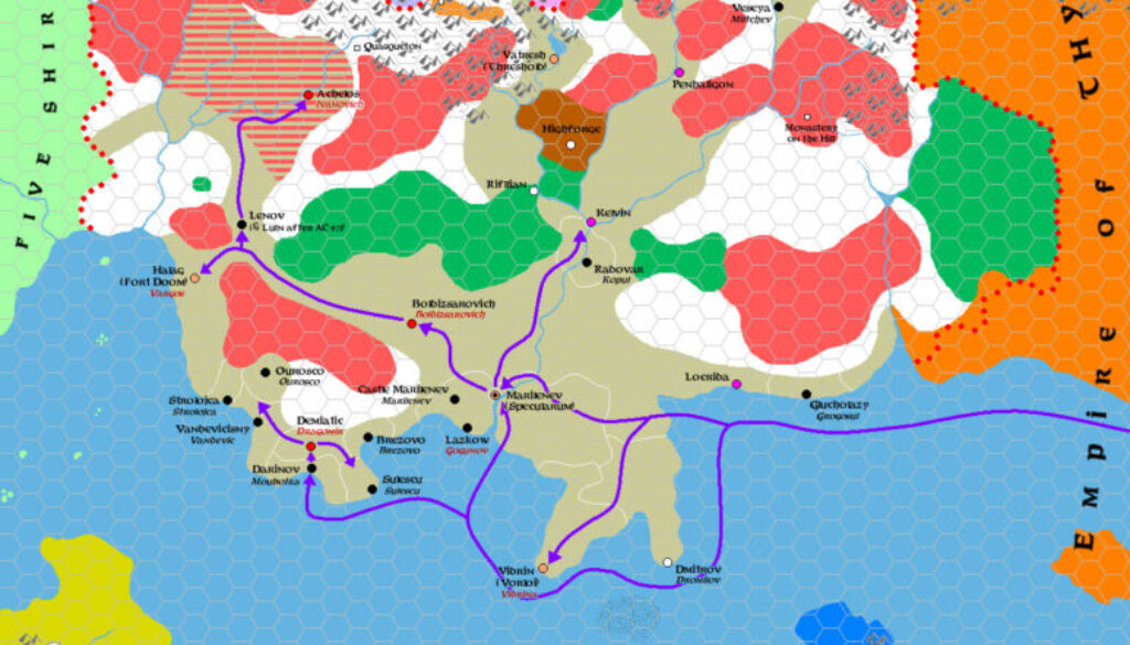
Zendrolion’s Traladara 900 to 975 AC, 8 miles per hex
This map was the last in a seven map series Simone made for his History of Karameikos Threshold Magazine #1 article. It brought the story of Traladara to its conclusion, when it became Karameikos. This happened in two stages: first, the Thyatian Conquest, then the Karameikos takeover. Simone’s article dealt with both in detail, so I will just quote here the beginning of the story:
On the eve of the 10th century AC, Traladaran communities were again in a phase of great economic growth; coastal cities had again entered a time of economic rise, and even some inland settlement was growing again (like Vatresh, built over the ruins of Lugsid). The Thyatian Empire, more than ever interested in the vast wood deposits of Traladara, then decided to put its hands on them by conquering the region with the force of arms before the Traladaran states strengthened again or someone else began their conquest.
The campaign was launched in AC 900. The Thyatian armies, led by General Flavian Osteropolus, quickly seized control of southern Traladara, conquering Marilenev and declaring the whole country a protectorate of the empire; Marilenev was renamed Specularum and became the seat of the Thyatian governor of the Province of Traladara.
He went on to describe the whole conquest, which is handily displayed on the map in visual form. It’s a wonderful resource for anyone reading the article, or indeed those who are already familiar with this history — which is surely quite a lot of the community.
In conclusion, this whole series was a great visualisation of the text that accompanied it. The maps gave a sense of grounding and, well, geography, that the article alone could not convey by itself. They were a very welcome addition, and I would love to see more of Mystara’s history presented in this way in the future. Well done, Simone!
Fan-made Map by Simone Neri (September 2013)
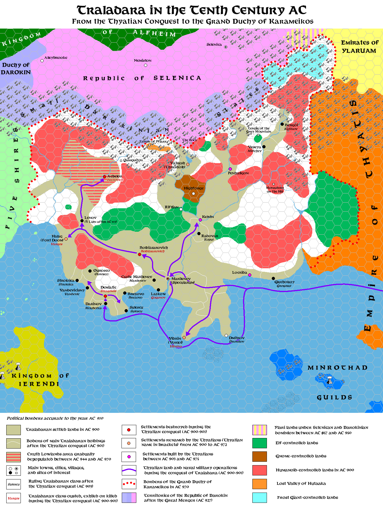
This is an original map created by one of Mystara’s excellent fan cartographers. For more information on the cartographer, including a gallery of all their maps, see also Appendix M: Mappers of Mystara.
Sources
- GAZ1 The Grand Duchy of Karameikos (1987) (PDF at DriveThruRPG)
Fan Sources
- The History of Karameikos from Threshold Magazine #1 at the Vaults of Pandius (September 2013)
- Zendrolion’s Traladara 1500 BC, 8 miles per hex (September 2013)
- Zendrolion’s Traladara 1100-992 BC, 8 miles per hex (September 2013)
- Zendrolion’s Traladara 929-480 BC, 8 miles per hex (September 2013)
- Zendrolion’s Traladara 417 to 612 AC, 8 miles per hex (September 2013)
- Zendrolion’s Traladara 650 to 800 AC, 8 miles per hex (September 2013)
References
- All of Simone’s maps at the Atlas of Mystara
- Simone’s entry in Appendix M: Mappers of Mystara (upcoming)
- Simone’s author page at the Vaults of Pandius
Chronological Analysis
This is a fan-made map. It was published in September 2013. The updated Atlas version of this map is not yet available. See also Appendix C for annual chronological snapshots of the area. For the full context of this map in Mystara’s publication history, see the upcoming Let’s Map Mystara 2013.
The following lists are from the Let’s Map Mystara project. Additions are new features, introduced in this map. Revisions are changes to previously-introduced features. Hex Art & Fonts track design elements. Finally, Textual Additions are potential features found in the related text. In most cases, the Atlas adopts these textual additions into updated and chronological maps.
Under Construction! Please check back again soon for updates.
Additions
- XXX —
Revisions
- XXX —
Hex Art & Fonts
- Hex Art —
- Fonts —