LoZompatore’s Outer World Precataclysmic Ocean Currents
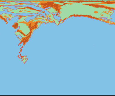
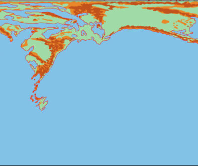
With a physical map of Pre-Cataclysmic Mystara completed, Michele next turned his attention to the climate of the ancient world. His conclusion was that it was warmer:
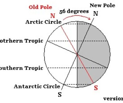
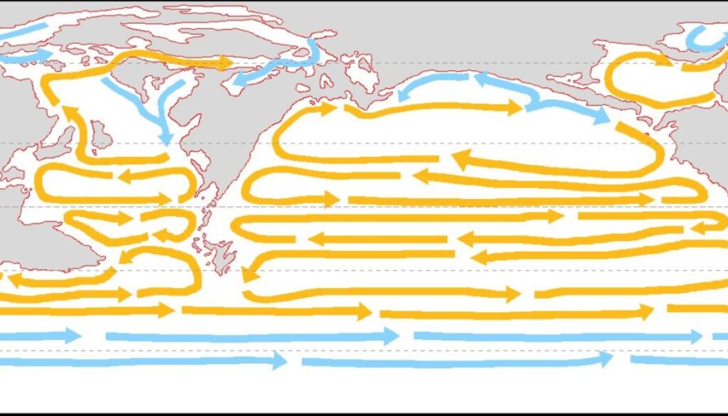
So we have that climate in Pre-Cataclysmic Mystara was slightly more uniform with respect to the Post-Cataclysmic one. Polar ice coverage was smaller and confined to more northern latitudes. Definitely the southernmost limit of sea ice coverage in winter will be way above the polar circles (at 62°N and 62°S). Moreover, the shape of continents in the Pre-Cataclysm northern hemisphere actually forces warm currents from the south to reach the northern latitudes, reducing the overall ice coverage. A possible global circulation of sea currents, based on real Earth analogue, is shown in the figure below.
Ocean currents appearing on Mystara maps is something that Bruce Heard started during Mystara’s official publication era, with Poor Wizard’s Almanac II’s Sea of Dread Region map. Both fans and Bruce have continued to create more maps of this type over the years, but this was likely the first time for a map of the ancient world to get such a treatment.
Fan-made Map by Michele Carpita (January 2018)
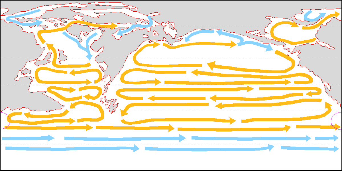
This is an original map created by one of Mystara’s excellent fan cartographers. For more information on the cartographer, including a gallery of all their maps, see also Appendix M: Mappers of Mystara.
Sources
Fan Sources
References
- All of Michele’s maps at the Atlas of Mystara
- Michele’s entry in Appendix M: Mappers of Mystara (upcoming)
- Michele’s author page at the Vaults of Pandius
Chronological Analysis
This is a fan-made map. It was published in January 2018. The updated Atlas version of this map is not yet available. See also Appendix C for annual chronological snapshots of the area. For the full context of this map in Mystara’s publication history, see the upcoming Let’s Map Mystara 2018.
The following lists are from the Let’s Map Mystara project. Additions are new features, introduced in this map. Revisions are changes to previously-introduced features. Hex Art & Fonts track design elements. Finally, Textual Additions are potential features found in the related text. In most cases, the Atlas adopts these textual additions into updated and chronological maps.
Under Construction! Please check back again soon for updates.