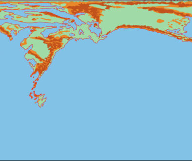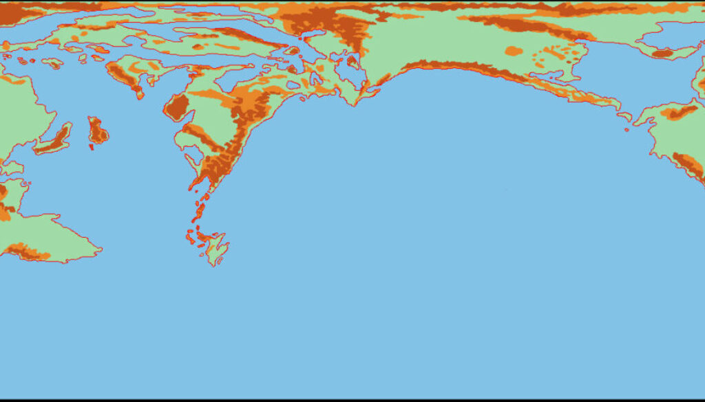
LoZompatore’s Outer World Precataclysmic Physical Revised
This map, figure 10 from Michele’s Pre-Cataclysmic Mystara article, built directly on its predecessor’s terrain. While that map had adapted the modern mountain ranges to the ancient coastlines, this one incorporated the terrain shown on the Hollow World Set Precataclysmic map. Michele explained:
Such mountain chains are not exactly placed like the pre-Cataclysmic map of the Hollow World boxed set. In order to get a better match some mountains are downplayed into hills and vice versa, while the Post-Cataclysmic islands between Brun and Skothar are “promoted” to hills and mountains. Figure 10 below shows the modifications to the map. Further refining will be added in later stages to provide a more realistic shape to mountain chains and other details.
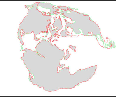
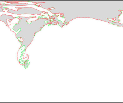
The differences may seem subtle at first, but a direct comparison of the two maps reveals quite a large number of changes.
Fan-made Map by Michele Carpita (January 2018)
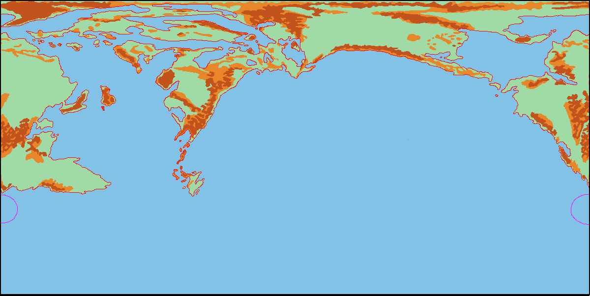
This is an original map created by one of Mystara’s excellent fan cartographers. For more information on the cartographer, including a gallery of all their maps, see also Appendix M: Mappers of Mystara.
Sources
- Master Rules Set (1985) (PDF at DriveThruRPG)
- Hollow World Campaign Set (1990) (PDF at DriveThruRPG)
Fan Sources
- Lining Up Mystara XIX by Thorfinn Tait (February 2016)
- Pre-Cataclysmic Mystara article by Michele Carpita (January 2018)
- LoZompatore’s Outer World (January 2018)
- LoZompatore’s Outer World Ethengar as North Pole (January 2018)
- LoZompatore’s Outer World Precataclysmic Land Differences (January 2018)
- LoZompatore’s Outer World Precataclysmic Physical (January 2018)
References
- All of Michele’s maps at the Atlas of Mystara
- Michele’s entry in Appendix M: Mappers of Mystara (upcoming)
- Michele’s author page at the Vaults of Pandius
Chronological Analysis
This is a fan-made map. It was published in January 2018. The updated Atlas version of this map is not yet available. See also Appendix C for annual chronological snapshots of the area. For the full context of this map in Mystara’s publication history, see the upcoming Let’s Map Mystara 2018.
The following lists are from the Let’s Map Mystara project. Additions are new features, introduced in this map. Revisions are changes to previously-introduced features. Hex Art & Fonts track design elements. Finally, Textual Additions are potential features found in the related text. In most cases, the Atlas adopts these textual additions into updated and chronological maps.
Under Construction! Please check back again soon for updates.
Additions
- XXX —
Revisions
- XXX —
Hex Art & Fonts
- Hex Art —
- Fonts —