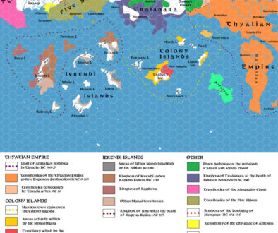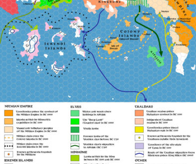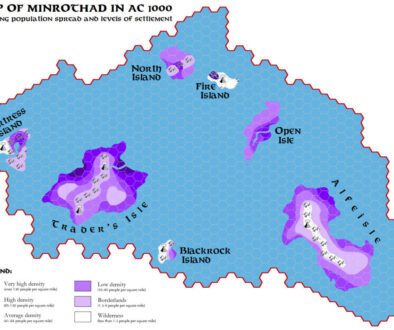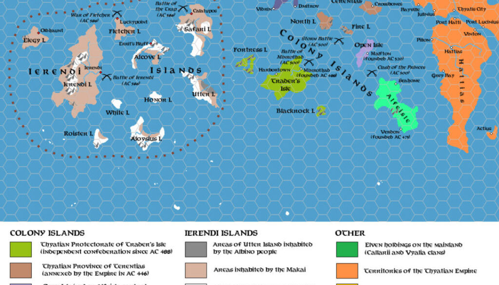
Zendrolion’s Ierendi and Colony Islands 456 to 602 AC, 24 miles per hex
Three months after his History of Ierendi and Minrothad article in Threshold #3, in which Simone had featured two maps, he returned with the second part of his history — and a third map. Here’s a very informative snippet from his article, which gives a great overview of the map:
The 5th century AC had been a time of great political and economical transformations in the Sea of Dread: it had seen the decline of the old trading combine in the Colony Islands, only to see it restored again and strengthened after some decades of Thyatian control; it also had seen the slow expansion of the Thyatian trade network westward, toward the Serpent Peninsula, virtually unchallenged due to the outright trading weakness of eventual competitors – like the Traladaran states, the Kingdom of Darokin, the Five Shires, or the Sindhi realms – and to the decline of the Colony Islands’ trading combine due to the Silver Purge and its aftereffects.
Even if now that the Colony Islands’ combine had achieved independence and was again becoming a relevant trading competitor for the Thyatian Empire in the east, the 6th century AC saw the continued enlargement of the imperial trading interest to the west, with the gradual establishment of political influence over the Five Shires, the control over the Ierendi archipelago, and the expansion of the westernmost trade routes to the Green Coast of Davania, south-west of Thanegia Island. The Ierendi archipelago was at the center of this Thyatian expansion, whose effects would result at the end of the century in the establishment of the second independent island realm of the Sea of Dread.
This part featured just the one map — he would return with another article and another map in Threshold #5.
Fan-made Map by Simone Neri (June 2014)
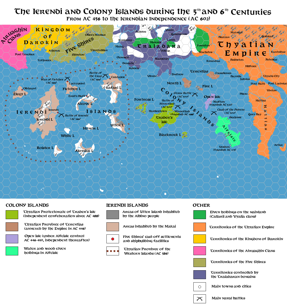
This is an original map created by one of Mystara’s excellent fan cartographers. For more information on the cartographer, including a gallery of all their maps, see also Appendix M: Mappers of Mystara.
Sources
Fan Sources
- The History of Ierendi and Minrothad part I from Threshold Magazine #3 (March 2014)
- The History of Ierendi and Minrothad part 2 from Threshold Magazine #4 (June 2014)
References
- All of Simone’s maps at the Atlas of Mystara
- Simone’s entry in Appendix M: Mappers of Mystara (upcoming)
- Simone’s author page at the Vaults of Pandius
Chronological Analysis
This is a fan-made map. It was published in June 2014. The updated Atlas version of this map is not yet available. See also Appendix C for annual chronological snapshots of the area. For the full context of this map in Mystara’s publication history, see the upcoming Let’s Map Mystara 2014.
The following lists are from the Let’s Map Mystara project. Additions are new features, introduced in this map. Revisions are changes to previously-introduced features. Hex Art & Fonts track design elements. Finally, Textual Additions are potential features found in the related text. In most cases, the Atlas adopts these textual additions into updated and chronological maps.
Under Construction! Please check back again soon for updates.
Additions
- XXX —
Revisions
- XXX —
Hex Art & Fonts
- Hex Art —
- Fonts —