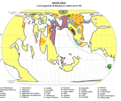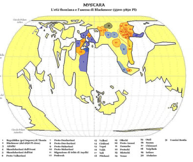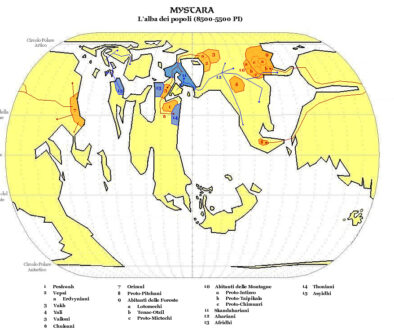
Zendrolion’s Mystara 3,000 to 2,200 BC
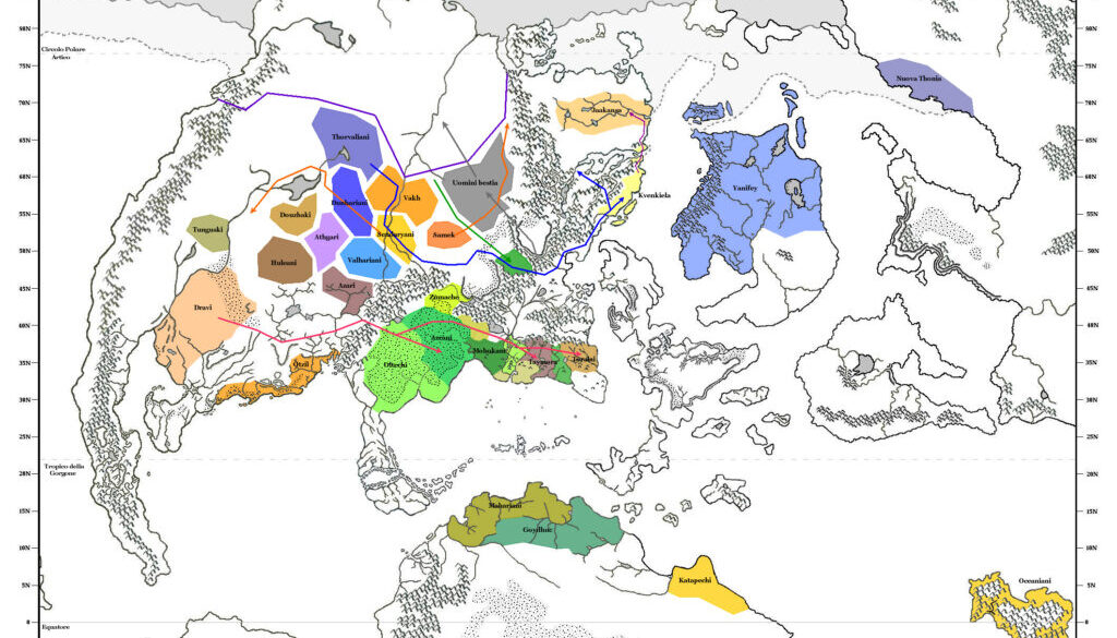
The fifth and final map in Simone’s Blackmoor ethnographic series looked vastly different from the previous four. The reason for this was simple: while the others were precataclysmic maps, this one concentrated on the post-Great Rain of Fire world. As a result, the base map changed completely. Simone continued to use one of Michele Carpita’s maps as a base, but now it was his familiar Brun and Alphatia map. On its edges it included parts of Skothar and Davania, thus making it the perfect choice.
Increased resolution plus a higher zoom factor meant that the different colour-coded populations could be directly labelled, so there was no key this time. There was also no title, which is rare for Simone’s maps.
Perhaps thanks to our familiarity with these land shapes, this map comes off as being far easier to read than the precataclysmic maps. It was a step closer to the modern day of Mystara, and the beginnings of some modern cultures could be seen. The Known World area was particularly interesting, as it showed the expanded coasts before regional cataclysms and subsidence sunk most of the southwestern coastline.
Fan-made Map by Simone Neri (February 2008)
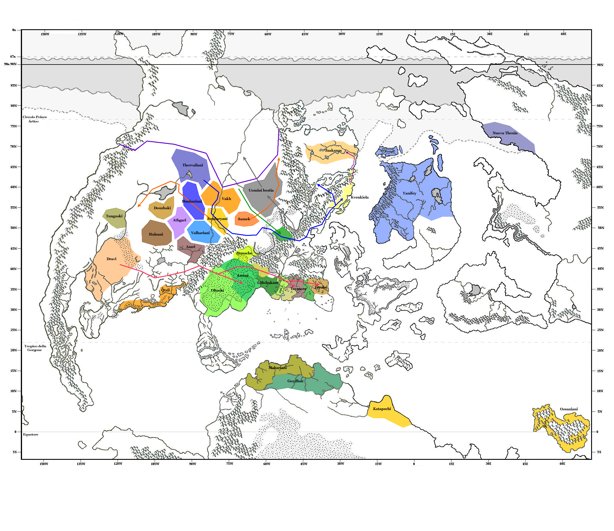
This is an original map created by one of Mystara’s excellent fan cartographers. For more information on the cartographer, including a gallery of all their maps, see also Appendix M: Mappers of Mystara.
Sources
Fan Sources
- Zendrolion’s Mystara 50,000 to 8,500 BC (February 2008)
- Zendrolion’s Mystara 8,500 to 5,500 BC (February 2008)
- Zendrolion’s Mystara 5,500 to 3,850 BC (February 2008)
- Zendrolion’s Mystara 3,850 to 3,000 BC (February 2008)
References
- All of Simone’s maps at the Atlas of Mystara
- Simone’s entry in Appendix M: Mappers of Mystara (upcoming)
- Simone’s author page at the Vaults of Pandius
Chronological Analysis
This is a fan-made map. It was published in February 2008. The updated Atlas version of this map is not yet available. See also Appendix C for annual chronological snapshots of the area. For the full context of this map in Mystara’s publication history, see the upcoming Let’s Map Mystara 2008.
The following lists are from the Let’s Map Mystara project. Additions are new features, introduced in this map. Revisions are changes to previously-introduced features. Hex Art & Fonts track design elements. Finally, Textual Additions are potential features found in the related text. In most cases, the Atlas adopts these textual additions into updated and chronological maps.
Under Construction! Please check back again soon for updates.
Additions
- XXX —
Revisions
- XXX —
Hex Art & Fonts
- Hex Art —
- Fonts —