
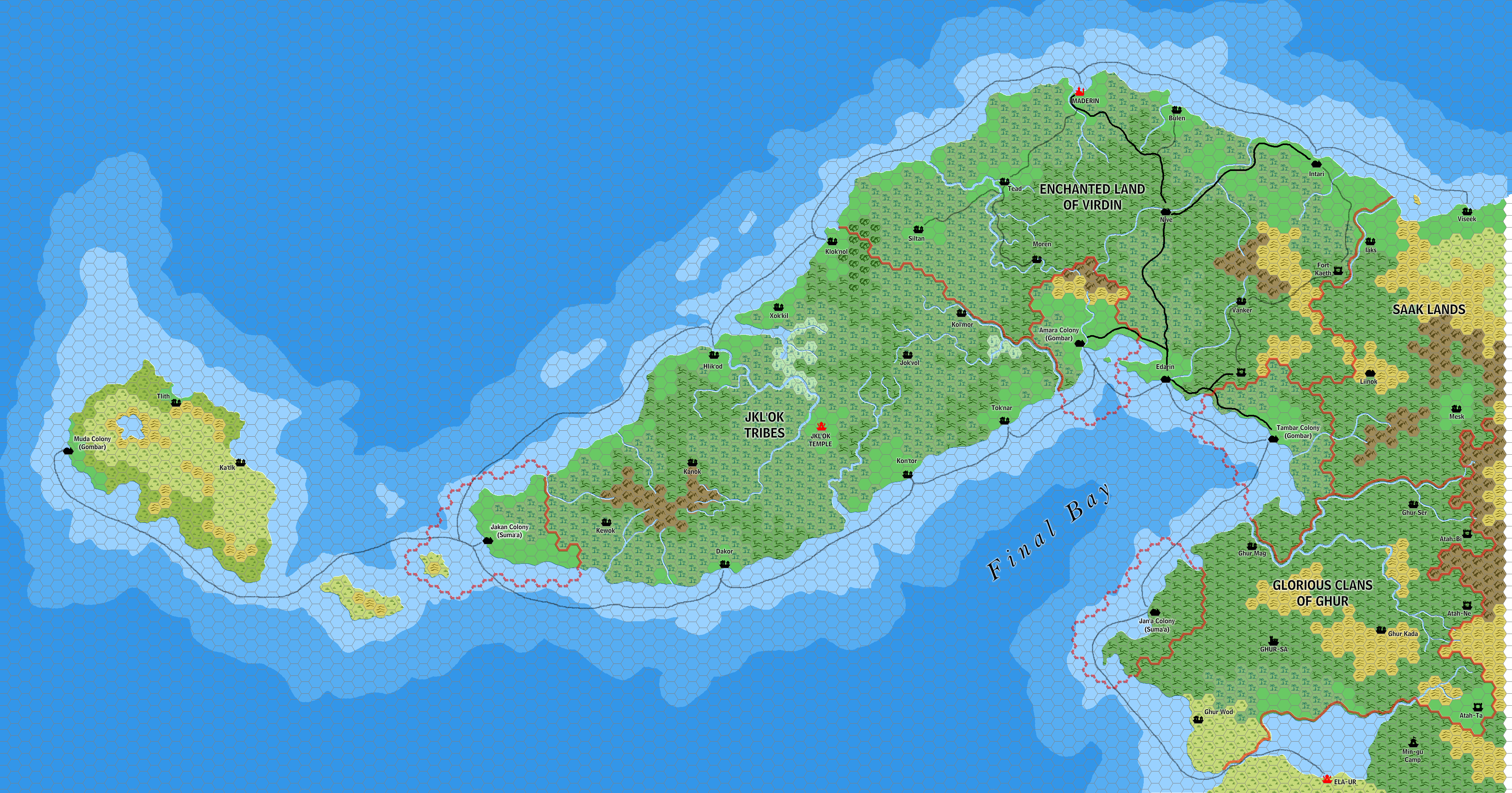
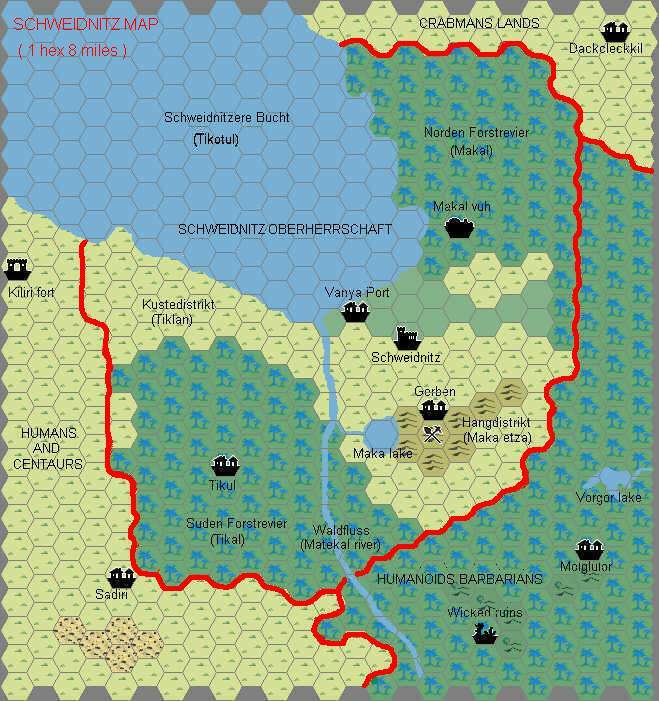
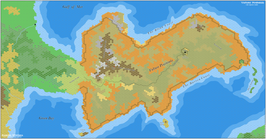
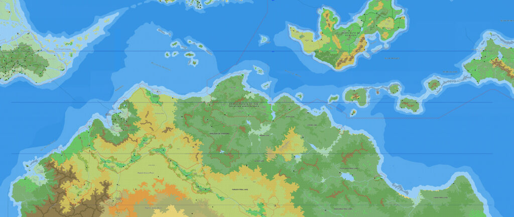
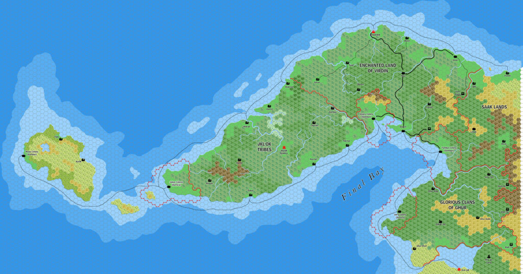
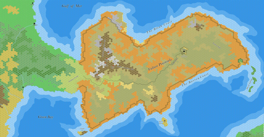
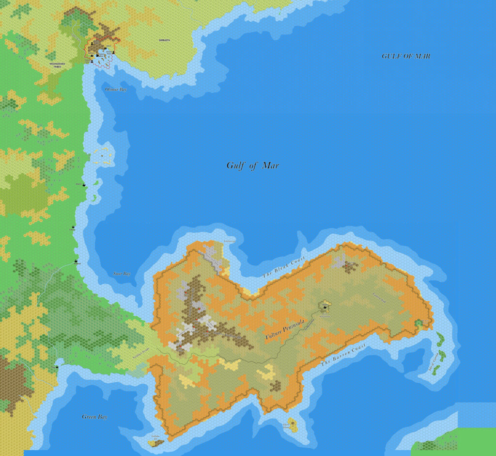
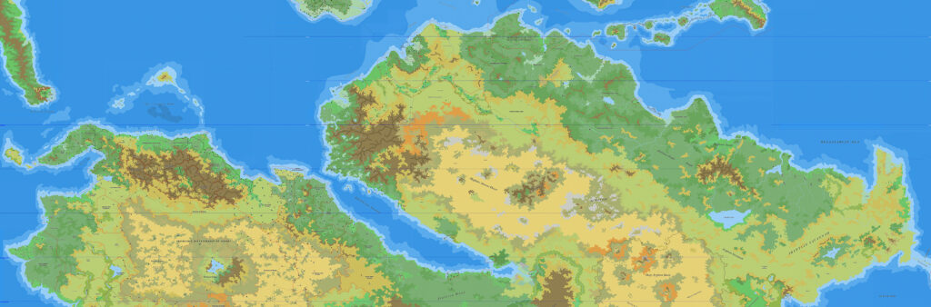
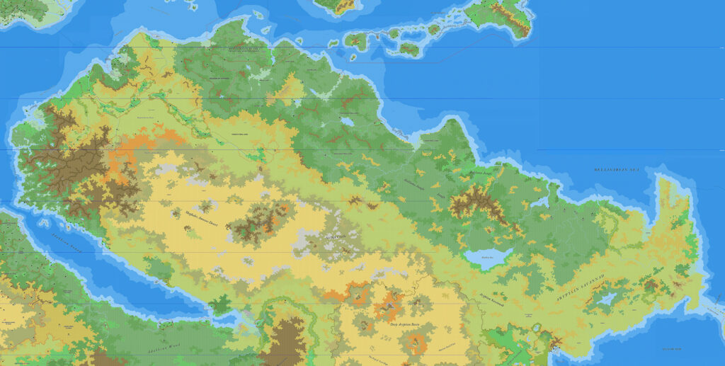
Ramelin’s Virdin, 8 miles per hex
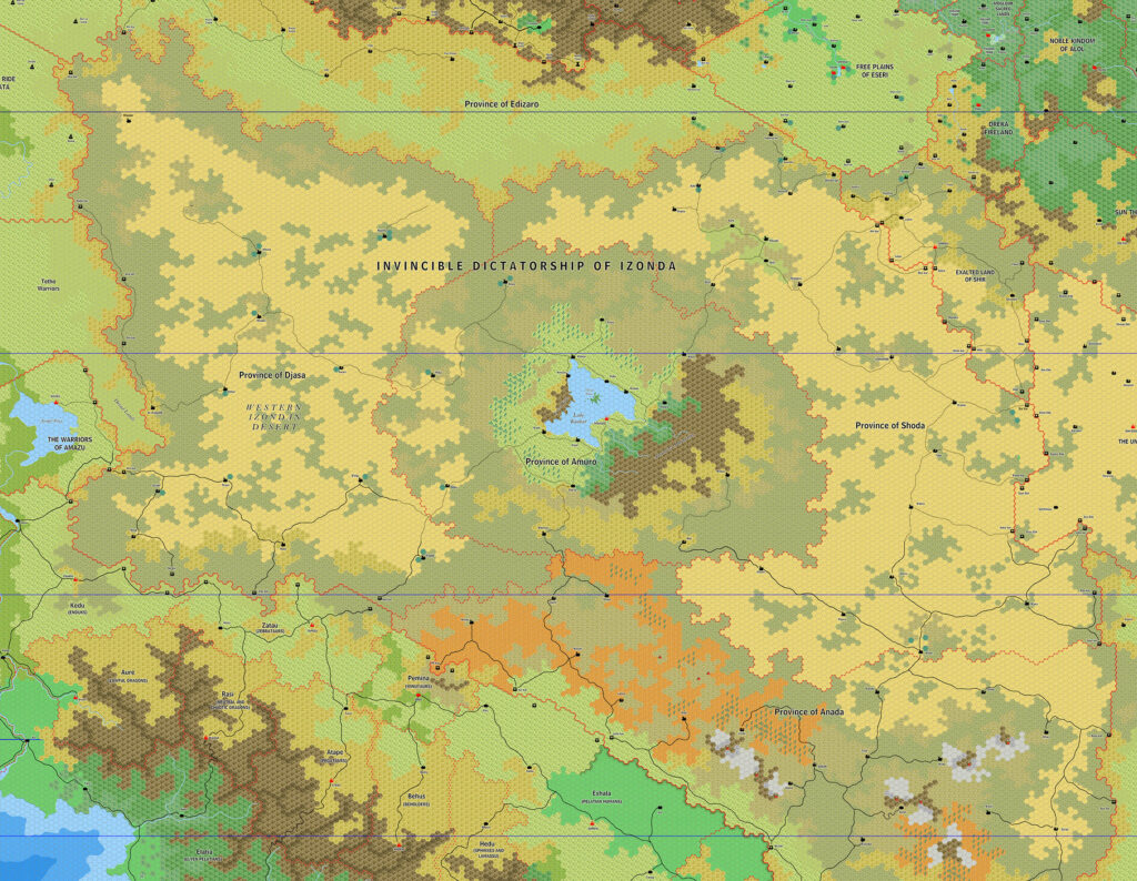
This was the final part of Ramelin Mystara’s Silver Coast, completing the task of developing Francesco Defferrari’s 24 mile per hex maps into 8 mile per hex. The area in question was the curving peninsula at the northwestern tip of Davania, with the nation of Virdin alongside the Jkl’Ok Tribes and the Gombar colony of Muda. Although Jose chose Virdin as the filename for the map, it could just as well have been Final Bay, as that also features prominently.
This map followed the same pattern as the others in the series, mostly sticking to Francesco’s original designs. The development was mostly in the terrain itself, and large areas were left feeling a little empty as a result.
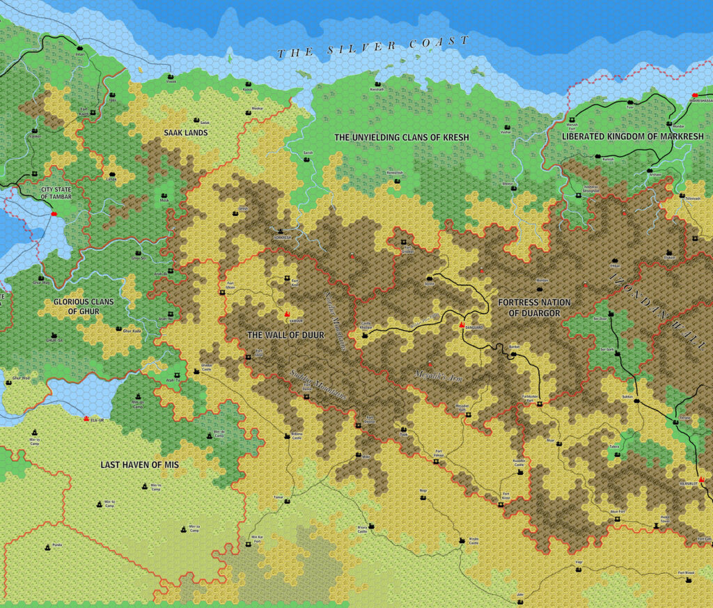
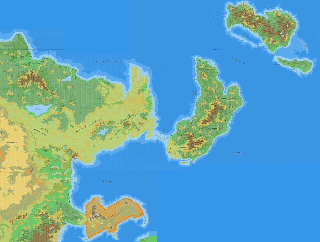
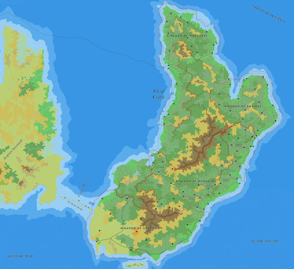
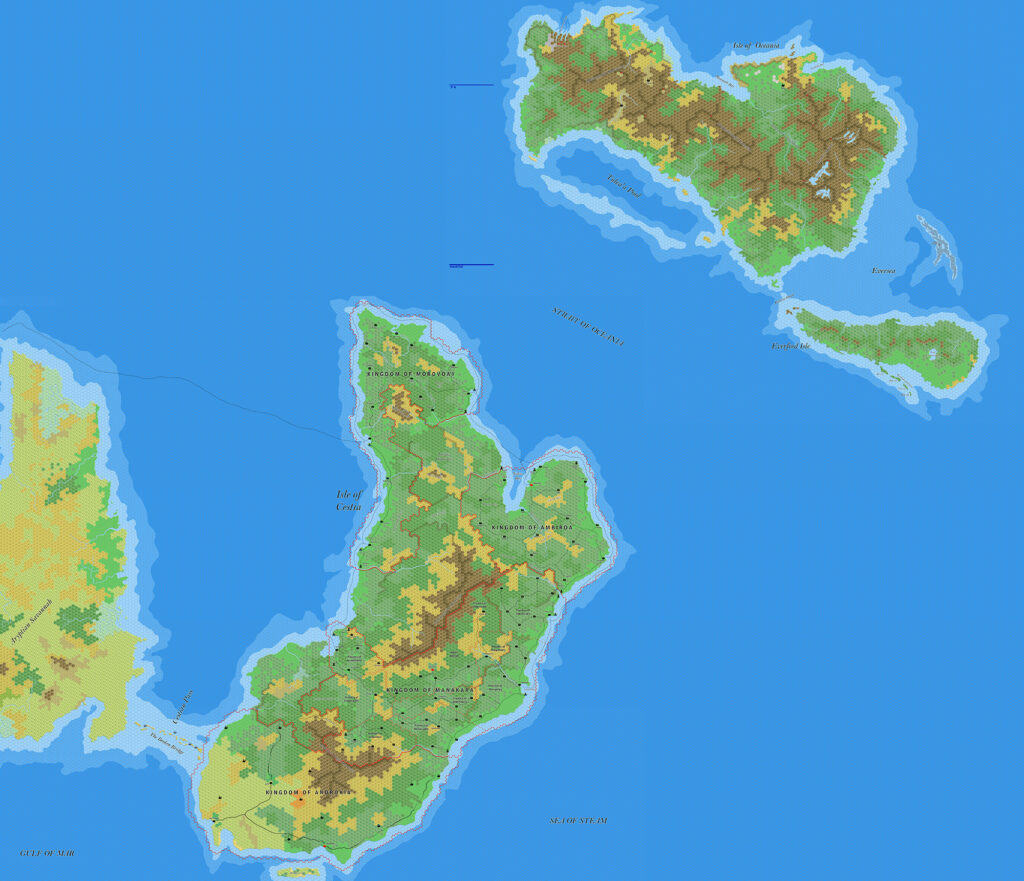
With the Silver Coast completed, all that remained was for Jose to make a single map combining the whole area — which in fact he did, the very same day.
Fan-made Map by Jose Ignacio Ramos Lomelin (May 2017)
This is an original map created by one of Mystara’s excellent fan cartographers. For more information on the cartographer, including a gallery of all their maps, see also Appendix M: Mappers of Mystara.
Sources
- None
Fan Sources
- Sturm’s Izonda & Pelatan, 24 miles per hex (March 2011)
- Threshold #5 (1 October 2014) (Vaults of Pandius)
- Ramelin’s Duargor, Duur and Kresh, 8 miles per hex (May 2017)
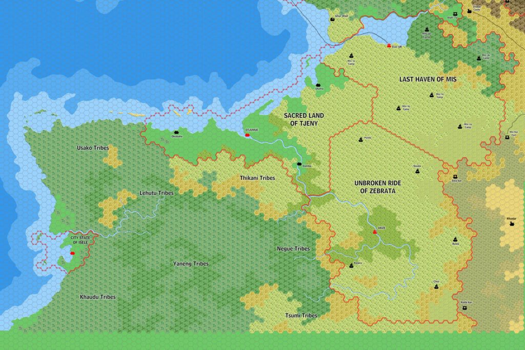
- Ramelin’s Zebrata, Tjeny and Mis, 8 miles per hex (May 2017)
References
- All of Jose’s maps at the Atlas of Mystara
- Jose’s entry in Appendix M: Mappers of Mystara (upcoming)
- Jose’s author page at the Vaults of Pandius
Chronological Analysis
This is a fan-made map. It was published in May 2017. The updated Atlas version of this map is not yet available. See also Appendix C for annual chronological snapshots of the area. For the full context of this map in Mystara’s publication history, see the upcoming Let’s Map Mystara 2017.
The following lists are from the Let’s Map Mystara project. Additions are new features, introduced in this map. Revisions are changes to previously-introduced features. Hex Art & Fonts track design elements. Finally, Textual Additions are potential features found in the related text. In most cases, the Atlas adopts these textual additions into updated and chronological maps.
Under Construction! Please check back again soon for updates.
Additions
- Settlements —
Revisions
- Settlements —
Hex Art & Fonts
- Hex Art — Ramelin Mystara standard.
- Fonts — Bell MT (major geographic and all water labels), Bell Centennial (all other labels), Feinen (titling).
")
")
")