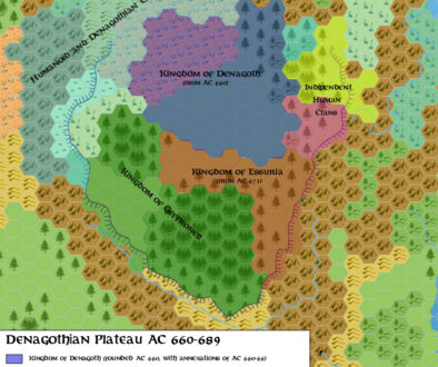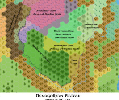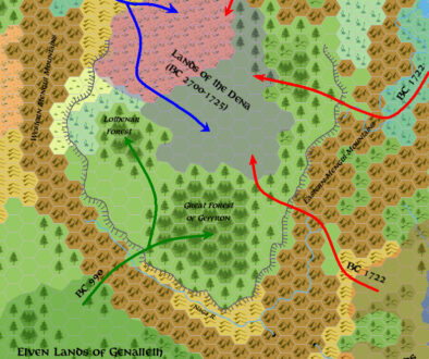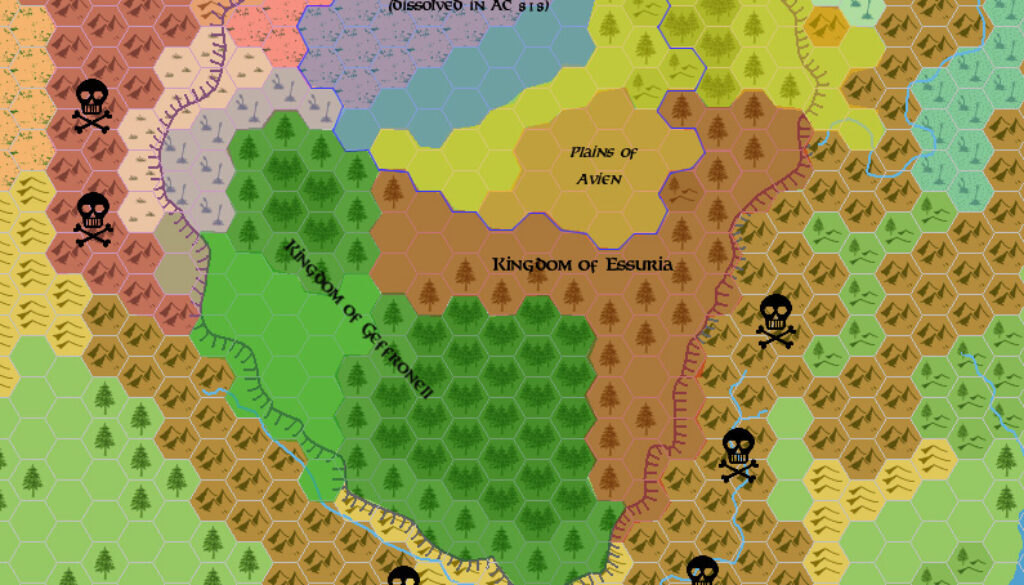
Zendrolion’s Denagoth 690-856 AC, 24 miles per hex
The fourth of Simone’s five-part series of migration maps for Denagoth covered the pre-modern era, from 690 to 856 AC. You can read an overview of the whole series in the post for the first part, Denagoth 1750-950 BC.
Part four brought the Kingdom of Denagoth up to its dissolution, with events gradually moving the state of things closer to their 1000 AC situation.
Fan-made Map by Simone Neri (March 2006)
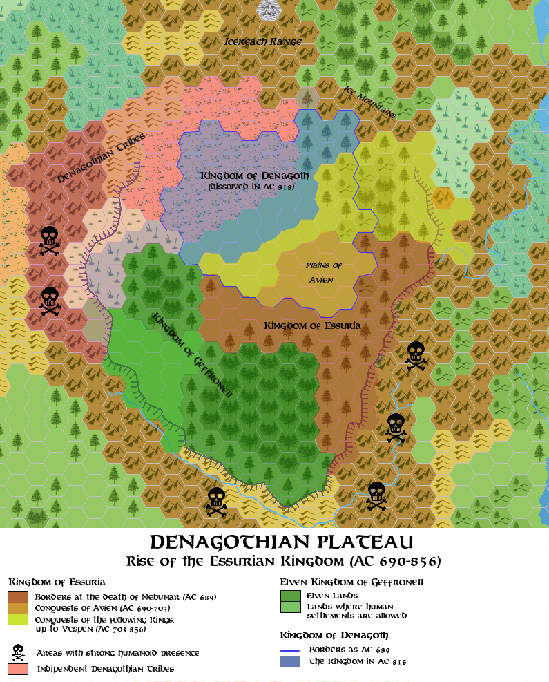
This is an original map created by one of Mystara’s excellent fan cartographers. For more information on the cartographer, including a gallery of all their maps, see also Appendix M: Mappers of Mystara.
Sources
- X11 Saga of the Shadow Lord (1986) (PDF at DriveThruRPG)
Fan Sources
- Timeline for the Wendar and Denagoth region version 2.4 at the Vaults of Pandius (January 1999)
References
- All of Simone’s maps at the Atlas of Mystara
- Simone’s entry in Appendix M: Mappers of Mystara (upcoming)
- Simone’s author page at the Vaults of Pandius
Chronological Analysis
This is a fan-made map. It was published in March 2006. The updated Atlas version of this map is not yet available. See also Appendix C for annual chronological snapshots of the area. For the full context of this map in Mystara’s publication history, see the upcoming Let’s Map Mystara 2006.
The following lists are from the Let’s Map Mystara project. Additions are new features, introduced in this map. Revisions are changes to previously-introduced features. Hex Art & Fonts track design elements. Finally, Textual Additions are potential features found in the related text. In most cases, the Atlas adopts these textual additions into updated and chronological maps.
Under Construction! Please check back again soon for updates.
Additions
- XXX —
Revisions
- XXX —
Hex Art & Fonts
- Hex Art —
- Fonts —