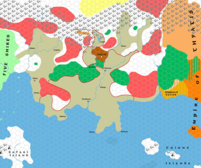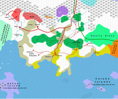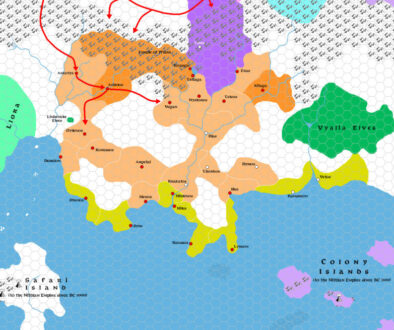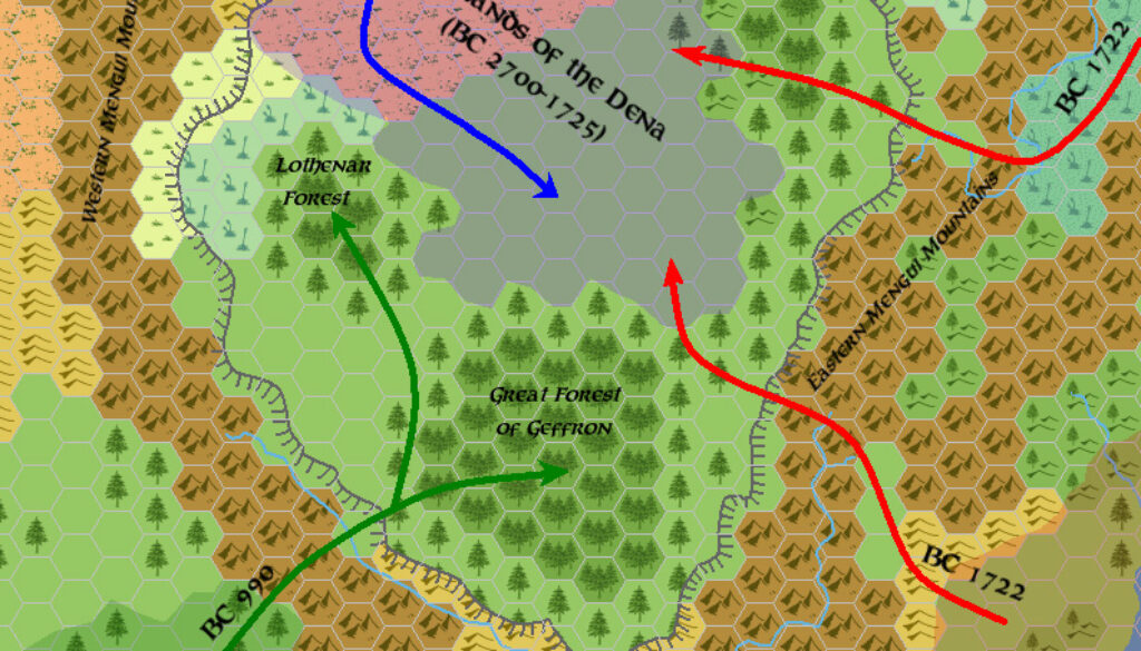
Zendrolion’s Denagoth 1750-950 BC, 24 miles per hex
Simone Neri made his first posts in the English language Mystara community on the MMB in mid-2005. I remember him contributing to my Wendar and then later Darokin Provinces threads, and he always made very informed comments. He was also heavily involved in the Italian community, and often referred to works from there.
The first maps he shared on the MMB were a set of migration maps showing the Denagoth Plateau. In fact, this was rather symbolic of Simone’s interests, among which population movements and demographics were paramount.
The thread in question was JTR’s Denagothian Plateau Project, a development thread for his Gaz F2. Simone explained the background in his post:
I’ve made some historical maps featuring the Denagothian Plateau in five moments of its troubled history. They’re consistent (I hope) with DM’s new Wendar-Denagoth-Northern Wildlands timeline but show only what happened on the plateau (so, you’ll see no Genalleth or Nimbeth maps, sorry).
(P.S.: I’ve borrowed Thorf’s map symbols from his “Legend” file to draw the map. The solution adopted for the Norwold-Denagoth-Northern Wildlands-Heldannic Territories maps follows the one showed in the map posted by LoZompatore in the “Kingdom of Ghyr Project” thread – I’ll post a larger version of it, which includes northern Norwold, if someone is interested. All the data of the map are closely canon-based).
His mention of the Norwold Conundrum is also highly relevant, as it was in active development on the Italian MMB. He would post the first previews of his Norwold map just a few months later.
This first Denagoth map in the series showed early migrations to the plateau.
Fan-made Map by Simone Neri (March 2006)
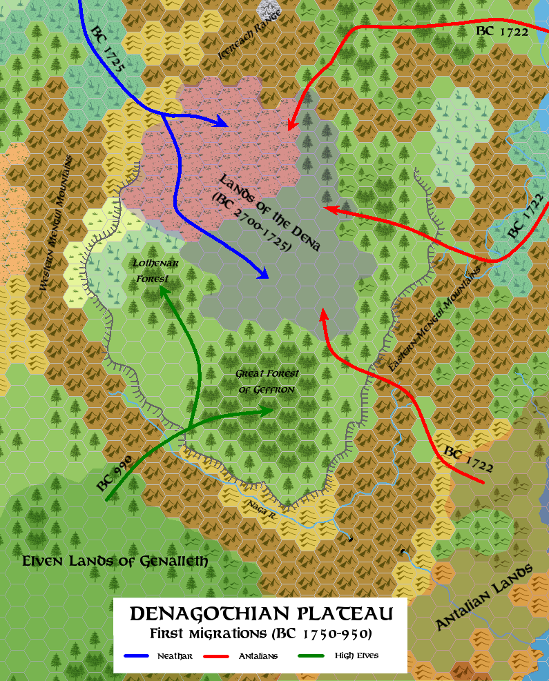
This is an original map created by one of Mystara’s excellent fan cartographers. For more information on the cartographer, including a gallery of all their maps, see also Appendix M: Mappers of Mystara.
Sources
- X11 Saga of the Shadow Lord (1986) (PDF at DriveThruRPG)
Fan Sources
- Timeline for the Wendar and Denagoth region version 2.4 at the Vaults of Pandius (January 1999)
References
- All of Simone’s maps at the Atlas of Mystara
- Simone’s entry in Appendix M: Mappers of Mystara (upcoming)
- Simone’s author page at the Vaults of Pandius
Chronological Analysis
This is a fan-made map. It was published in March 2006. The updated Atlas version of this map is not yet available. See also Appendix C for annual chronological snapshots of the area. For the full context of this map in Mystara’s publication history, see the upcoming Let’s Map Mystara 2006.
The following lists are from the Let’s Map Mystara project. Additions are new features, introduced in this map. Revisions are changes to previously-introduced features. Hex Art & Fonts track design elements. Finally, Textual Additions are potential features found in the related text. In most cases, the Atlas adopts these textual additions into updated and chronological maps.
Under Construction! Please check back again soon for updates.
Additions
- XXX —
Revisions
- XXX —
Hex Art & Fonts
- Hex Art —
- Fonts —