LoZompatore’s Brun and Alphatia Old
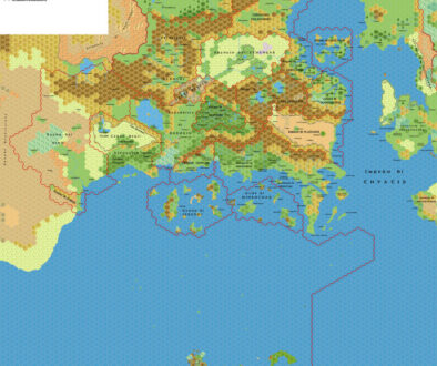
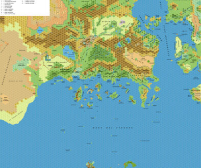
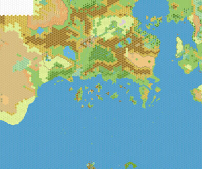
In 2025 I posted Michele’s Brun and Alphatia blank map from September 2009. I also had a Mystara climate map using a very similar base map, but Michele said that it wasn’t his work, and I was unable to track down the original source at the time. Then in September 2026 I discovered some backups of the old Italian MMB at the Wayback Machine — including the thread with the Mystara climate map, which turned out to be Simone Neri’s modification of Michele’s original map. That thread was titled “Mappa 40 per cento Mystara”, or “40% Map of Mystara”, and the first post in the thread was the original version of Michele’s map.
However, the file was lost, and I have been unable to find a copy.
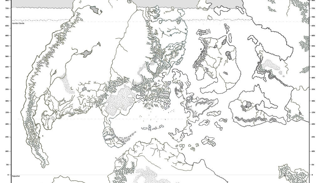
The situation didn’t look good until I realised that Simone’s climate map was a simple edit on top of Michele’s map. With this knowledge, I have been able to reconstruct the original map by removing the climate additions. It’s not perfect, but it is surely very close to how the map looked back then.
We already knew that Michele had been working on this map as early as November 2005, but this would appear to be the earliest full version. His post at the Italian MMB at the time read (translation from Google Translate, with apologies):
Ahead of schedule, I’ve posted this map, which covers a little over a third of Mystara’s surface. This way, Kal and Zaryck can get an idea of how I handled the latitudes and longitudes.
They are the result of rather precise calculations that take into account the type of projection (Eckert IV of the map and its distortions, especially in the latitudes).
For the latitudes I wanted to respect the canonical maps, which place the 90N parallel not at the North Pole (which does not exist), but at the beginning of the Darklands (the point where the surface of Mystara curves inside the Hollow World).
This implies that Mystara’s “latitude” isn’t a true angle, measured in degrees, between the equator and the point in question. Instead, it’s simply an indication of how close or far one is to the equator, based on a 90-way division of the line connecting the equator to the southern edge of the darklands.
As for the rest of the map, everything you find in it is canon or deduced from canon (even the summer marine glaciation line, which is deduced from PWAII – from which the winter one is derived from CM1 and from a comparison with the real world).
Even at this early date, Michele was already calling out the peculiarities of Mystara’s latitudes, and the fact that they reached 90º despite there being no North Pole. His description pins down something vital: these latitudes are arc-based/distance-based, rather than the usual angle-based numbers.
In terms of content, this early version had a completely straight line of Frozen Ice Pack just north of the Arctic Circle. The discussion on the Italian MMB immediately picked up on this, with Simone as well as Andrea Francolini commenting on it. Michele then noted that it should actually dip north and south at points as appropriate — a change he later incorporated into the map.
In the same thread, Michele posted two more variants or updates of this map, so it’s possible that Simone used any one of these three versions to make his climate map. They are all lost to us now, but regardless, this map gives a nice peek into the history of Michele’s wonderful Brun and Alphatia map in its earliest stages.
Fan-made Map by Michele Carpita (May 2006)
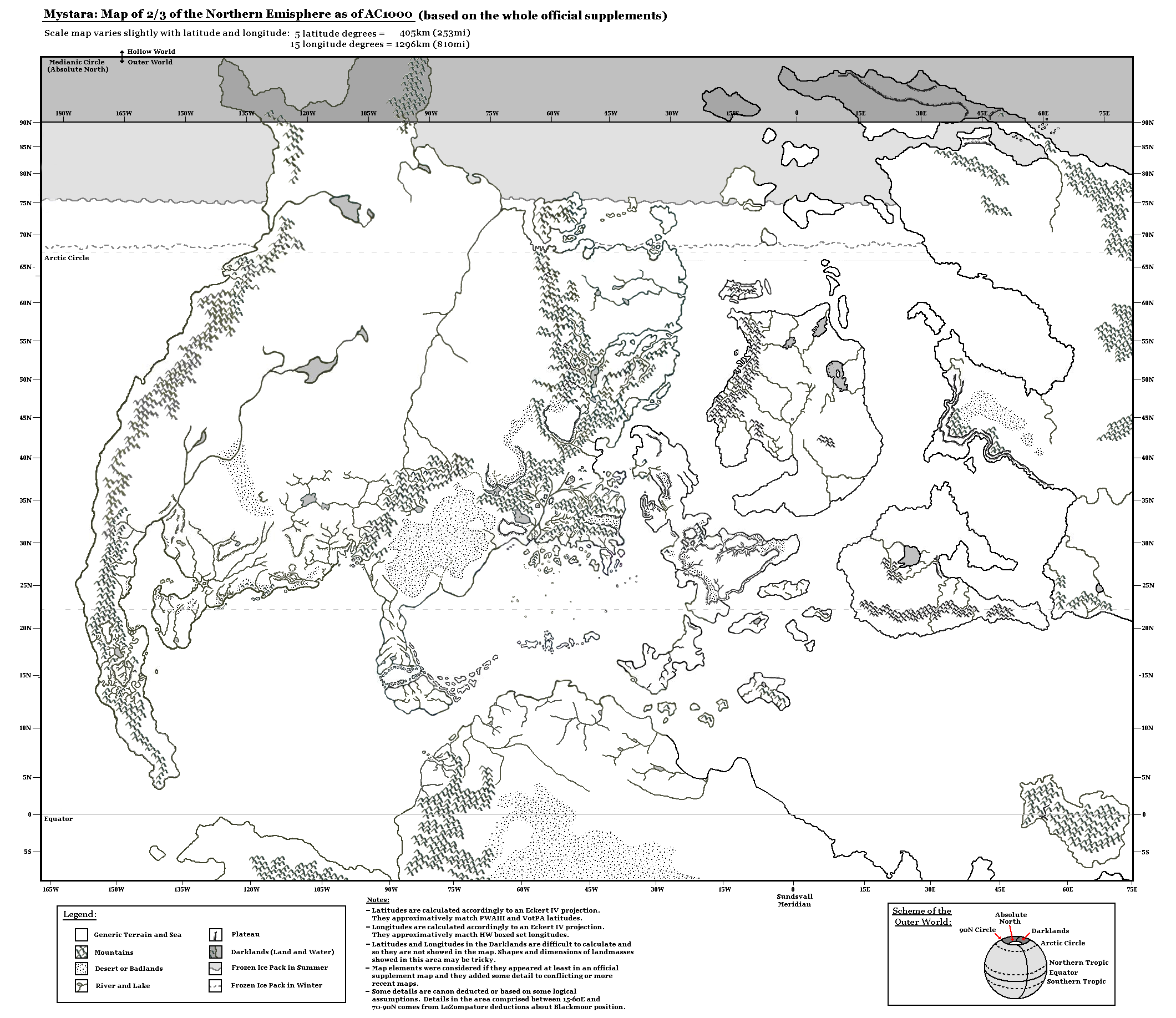
This is an original map created by one of Mystara’s excellent fan cartographers. For more information on the cartographer, including a gallery of all their maps, see also Appendix M: Mappers of Mystara.
Sources
- Companion Rules Set (1984) (PDF at DriveThruRPG)
- Master Rules Set (1985) (PDF at DriveThruRPG)
Fan Sources
- Michele’s previous maps (various)
References
- All of Michele’s maps at the Atlas of Mystara
- Michele’s entry in Appendix M: Mappers of Mystara (upcoming)
- Michele’s author page at the Vaults of Pandius
Chronological Analysis
This is a fan-made map. It was published in May 2006. The updated Atlas version of this map is not yet available. See also Appendix C for annual chronological snapshots of the area. For the full context of this map in Mystara’s publication history, see the upcoming Let’s Map Mystara 2006.
The following lists are from the Let’s Map Mystara project. Additions are new features, introduced in this map. Revisions are changes to previously-introduced features. Hex Art & Fonts track design elements. Finally, Textual Additions are potential features found in the related text. In most cases, the Atlas adopts these textual additions into updated and chronological maps.
Under Construction! Please check back again soon for updates.
Additions
- XXX —
Revisions
- XXX —
Hex Art & Fonts
- Hex Art —
- Fonts —