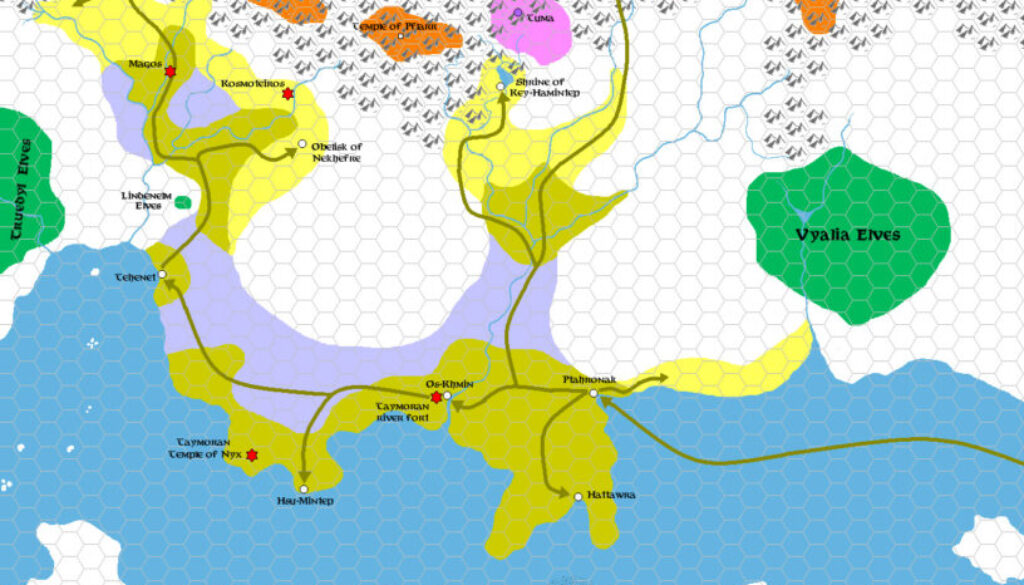
Zendrolion’s Traladara 1500 BC, 8 miles per hex
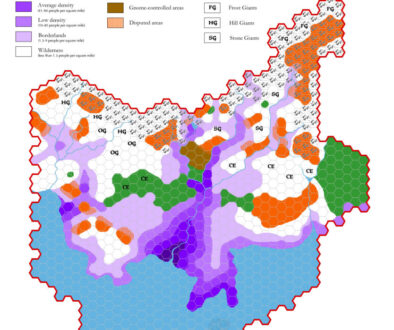
In addition to his demography of Karameikos map and article, Simone also produced a long History of Karameikos article for Threshold Magazine #1. It featured a series of seven maps tracing the land of Traladara/Karameikos through the ages, of which this was the first.
This map’s placement in the article didn’t make it entirely clear precisely what time period it was intended to cover, but luckily Simone included some dates in the legend, the earliest of which was 1500 BC. I have therefore labelled the map with that date. To quote from the article:
Around BC 1500, a Nithian private expedition led by the Ptahr-al-Dar clans came from the sea and began to settle the coasts of the land corresponding to modern Karameikos; inland, they found the descendants of the Taymora, who they called the “People of the Night”, and swiftly subdued them.
As with his demographic map, Simone used coloured shapes to detail the map. Although they were close, they didn’t quite conform to the hex grid, giving the map a nice, organic feel.
He would continue to track the history of Traladara in six more maps, all the way from the Nithian age here up to Thyatian conquest.
Fan-made Map by Simone Neri (September 2013)
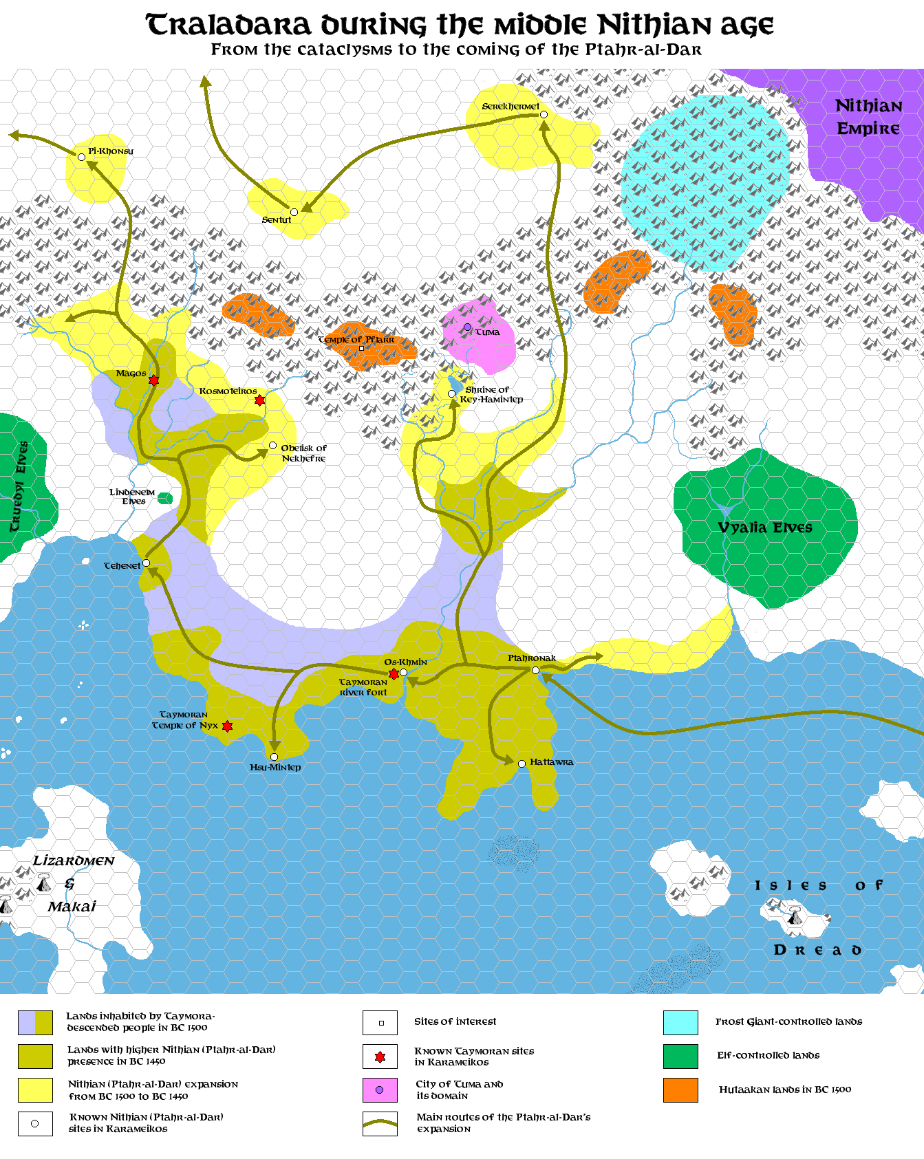
This is an original map created by one of Mystara’s excellent fan cartographers. For more information on the cartographer, including a gallery of all their maps, see also Appendix M: Mappers of Mystara.
Sources
- GAZ1 The Grand Duchy of Karameikos (1987) (PDF at DriveThruRPG)
Fan Sources
- The History of Karameikos from Threshold Magazine #1 at the Vaults of Pandius (September 2013)
References
- All of Simone’s maps at the Atlas of Mystara
- Simone’s entry in Appendix M: Mappers of Mystara (upcoming)
- Simone’s author page at the Vaults of Pandius
Chronological Analysis
This is a fan-made map. It was published in September 2013. The updated Atlas version of this map is not yet available. See also Appendix C for annual chronological snapshots of the area. For the full context of this map in Mystara’s publication history, see the upcoming Let’s Map Mystara 2013.
The following lists are from the Let’s Map Mystara project. Additions are new features, introduced in this map. Revisions are changes to previously-introduced features. Hex Art & Fonts track design elements. Finally, Textual Additions are potential features found in the related text. In most cases, the Atlas adopts these textual additions into updated and chronological maps.
Under Construction! Please check back again soon for updates.
Additions
- XXX —
Revisions
- XXX —
Hex Art & Fonts
- Hex Art —
- Fonts —