LoZompatore’s Outer World Ethengar as North Pole
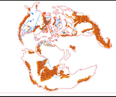
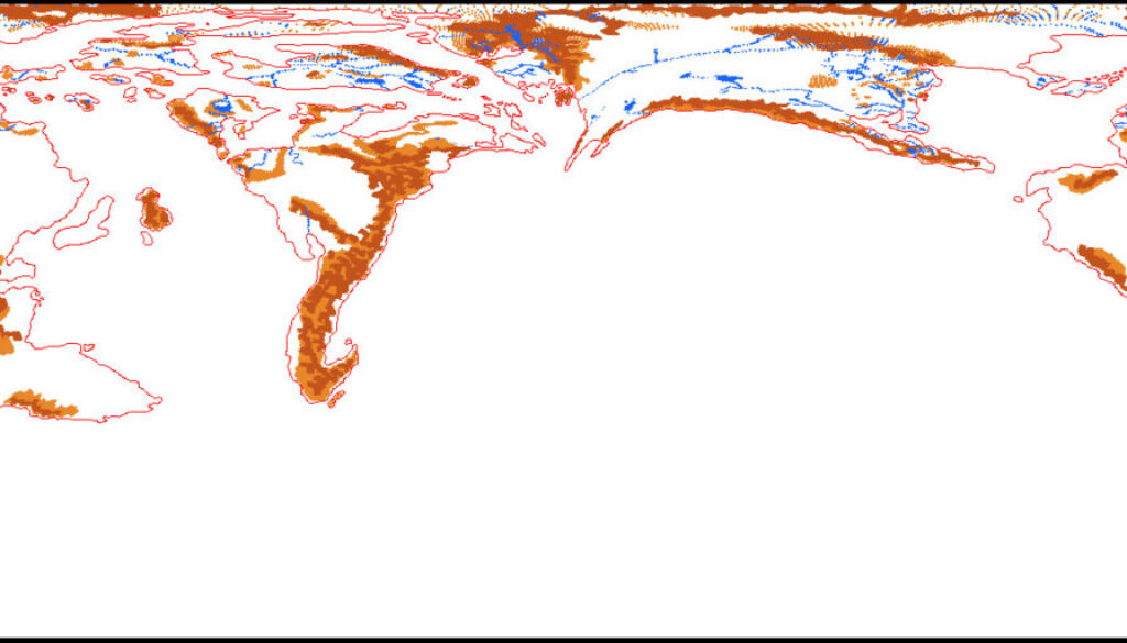
The base map for Michele’s Pre-Cataclysmic Mystara article was derived from his adaptation of my Lining Up Mystara 2016 world map. He explained in detail his thinking behind the map:
The most important assumptions I made to draw the pre-Cataclysmic map are listed below:
- The Pre-Cataclysmic North Pole was located in the Ethengar Steppes (centered at approximately 38°N according to an estimation by Thorfinn Tait);
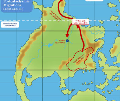
- The Post-Cataclysmic North Pole is located in the Blackmoor area;
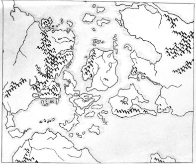
- Size and shape of coastlines, mountains, rivers and other elements as per the Hollow World Pre-Cataclysmic map;
- Post-Cataclysmic map as per Figure 1 and 2. Notice that the main difference with the other global map of Mystara is that. a large ocean is added between eastern Skothar and western Brun/Davania in order to solve many chartograpical issues.
- The Pre-Cataclysmic world is basically a sphere: polar openings are way smaller than the Post-Cataclysmic ones so the flattening at the poles is assumed to be negligible.
- The Post-Cataclysmic axial tilt is 24° as per Thorfinn Tait estimation.
It follows the idea of having the North Pole literally located in modern Ethengar, placing the whole of the familiar Known World region under the ice cap — or indeed as a polar opening into the Hollow World. (The pre-cataclysm polar openings were said to be much smaller — perhaps mere holes or tunnels compared to the sweeping openings created after the Great Rain of Fire.)
Michele noted that this map still did not include differences in coastlines — a crucial difference for this time period, as the changes between 3000 BC and 1000 AC were quite drastic in some places. That task was the subject of the next set of maps.
Fan-made Maps by Michele Carpita (January 2018)
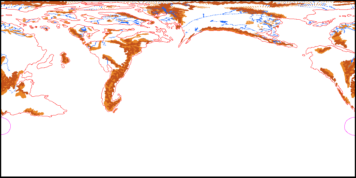
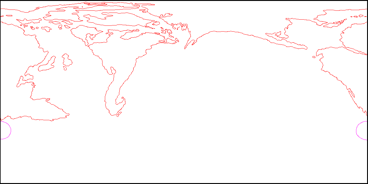
This is an original map created by one of Mystara’s excellent fan cartographers. For more information on the cartographer, including a gallery of all their maps, see also Appendix M: Mappers of Mystara.
Sources
- Companion Rules Set (1984) (PDF at DriveThruRPG)
- Master Rules Set (1985) (PDF at DriveThruRPG)
Fan Sources
- Lining Up Mystara XIX by Thorfinn Tait (February 2016)
- Pre-Cataclysmic Mystara article by Michele Carpita (January 2018)
- LoZompatore’s Outer World (January 2018)
References
- All of Michele’s maps at the Atlas of Mystara
- Michele’s entry in Appendix M: Mappers of Mystara (upcoming)
- Michele’s author page at the Vaults of Pandius
Chronological Analysis
This is a fan-made map. It was published in January 2018. The updated Atlas version of this map is not yet available. See also Appendix C for annual chronological snapshots of the area. For the full context of this map in Mystara’s publication history, see the upcoming Let’s Map Mystara 2018.
The following lists are from the Let’s Map Mystara project. Additions are new features, introduced in this map. Revisions are changes to previously-introduced features. Hex Art & Fonts track design elements. Finally, Textual Additions are potential features found in the related text. In most cases, the Atlas adopts these textual additions into updated and chronological maps.
Under Construction! Please check back again soon for updates.
Additions
- XXX —
Revisions
- XXX —
Hex Art & Fonts
- Hex Art —
- Fonts —