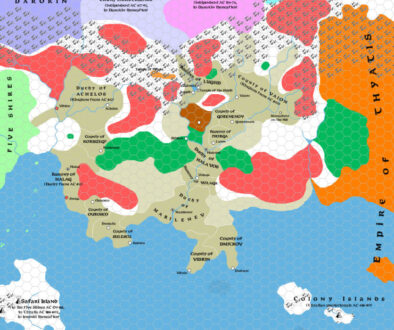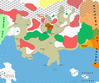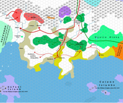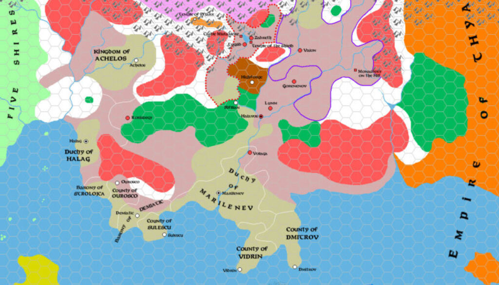
Zendrolion’s Traladara 650 to 800 AC, 8 miles per hex
The penultimate map of Simone’s History of Karameikos in Threshold Magazine #1 once again showed a wounded Traladara. After the collapse of the Traladaran League, things hadn’t gone so well for them. This passage from the article is particularly vivid:
Diseases, misery, and famines plagued Traladara during the Holy Wars and during the whole 8th century AC. Many settlements had been destroyed, many clans wiped out, many people had died and many others had left for foreign lands. Once proud and wealthy cities and towns, like Vaion, Halavos, and Volaga, lay in ruins; Zadreth had been abandoned at the beginning of the Holy Wars due to a plague; and the survivors of Lugsid had abandoned their town to pillage, seeking refuge on the island of Fogor, in Lake Windrush.
Thus, the wars marked the beginning of another time of demographic loss. Dark forces, who had entered Traladara during the wars, continued to feed on those fool enough to ally with them – like Count Koriszegy, whose lands were cursed and abandoned after he had signed a pact with Entropic powers (AC 783).
At this point the primary subject of the map is territorial disputes, pressures between rival populations, and fracturing of contiguous lands. This took the map up to about a hundred years before the Thyatian invasion — the subject of the last map in the series.
Fan-made Map by Simone Neri (September 2013)
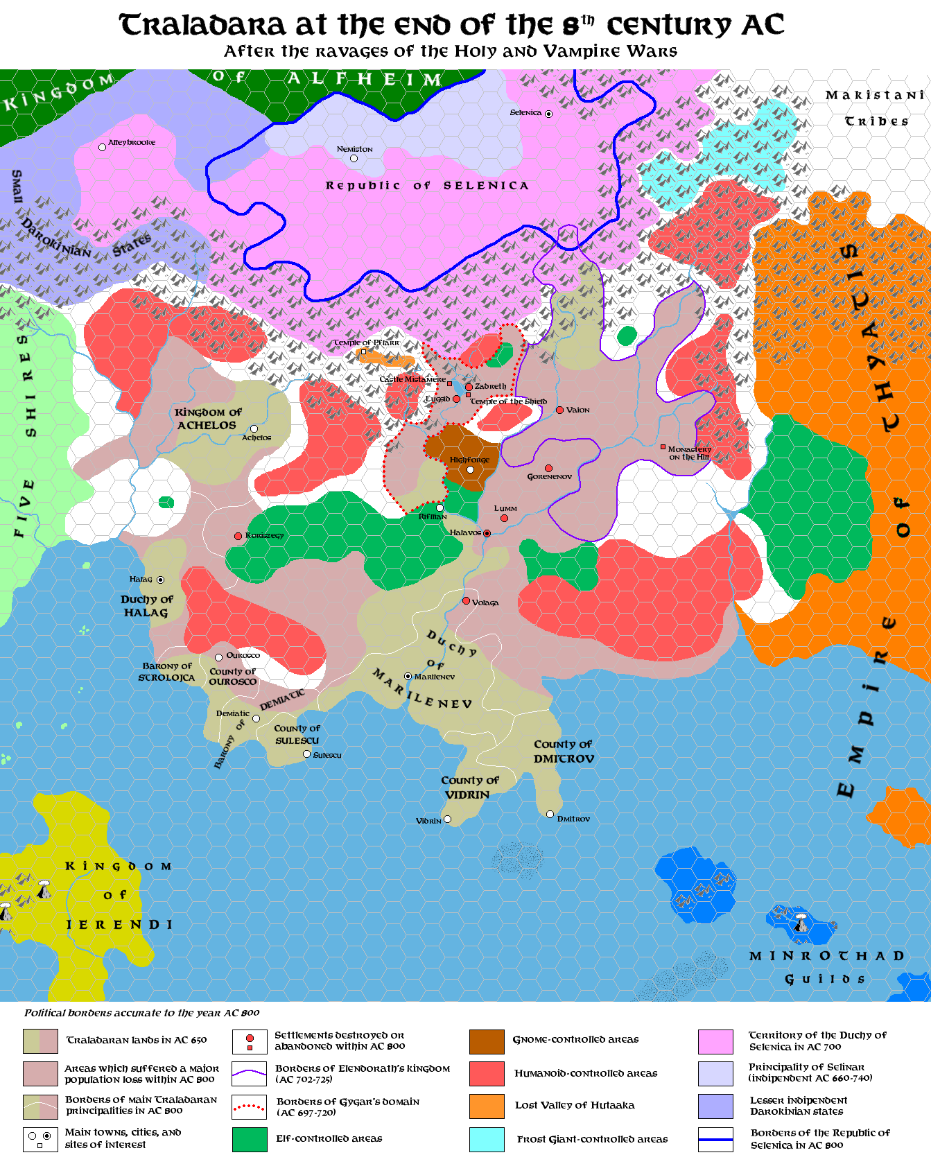
This is an original map created by one of Mystara’s excellent fan cartographers. For more information on the cartographer, including a gallery of all their maps, see also Appendix M: Mappers of Mystara.
Sources
- GAZ1 The Grand Duchy of Karameikos (1987) (PDF at DriveThruRPG)
Fan Sources
- The History of Karameikos from Threshold Magazine #1 at the Vaults of Pandius (September 2013)
- Zendrolion’s Traladara 1500 BC, 8 miles per hex (September 2013)
- Zendrolion’s Traladara 1100-992 BC, 8 miles per hex (September 2013)
- Zendrolion’s Traladara 929-480 BC, 8 miles per hex (September 2013)
- Zendrolion’s Traladara 417 to 612 AC, 8 miles per hex (September 2013)
References
- All of Simone’s maps at the Atlas of Mystara
- Simone’s entry in Appendix M: Mappers of Mystara (upcoming)
- Simone’s author page at the Vaults of Pandius
Chronological Analysis
This is a fan-made map. It was published in September 2013. The updated Atlas version of this map is not yet available. See also Appendix C for annual chronological snapshots of the area. For the full context of this map in Mystara’s publication history, see the upcoming Let’s Map Mystara 2013.
The following lists are from the Let’s Map Mystara project. Additions are new features, introduced in this map. Revisions are changes to previously-introduced features. Hex Art & Fonts track design elements. Finally, Textual Additions are potential features found in the related text. In most cases, the Atlas adopts these textual additions into updated and chronological maps.
Under Construction! Please check back again soon for updates.
Additions
- XXX —
Revisions
- XXX —
Hex Art & Fonts
- Hex Art —
- Fonts —