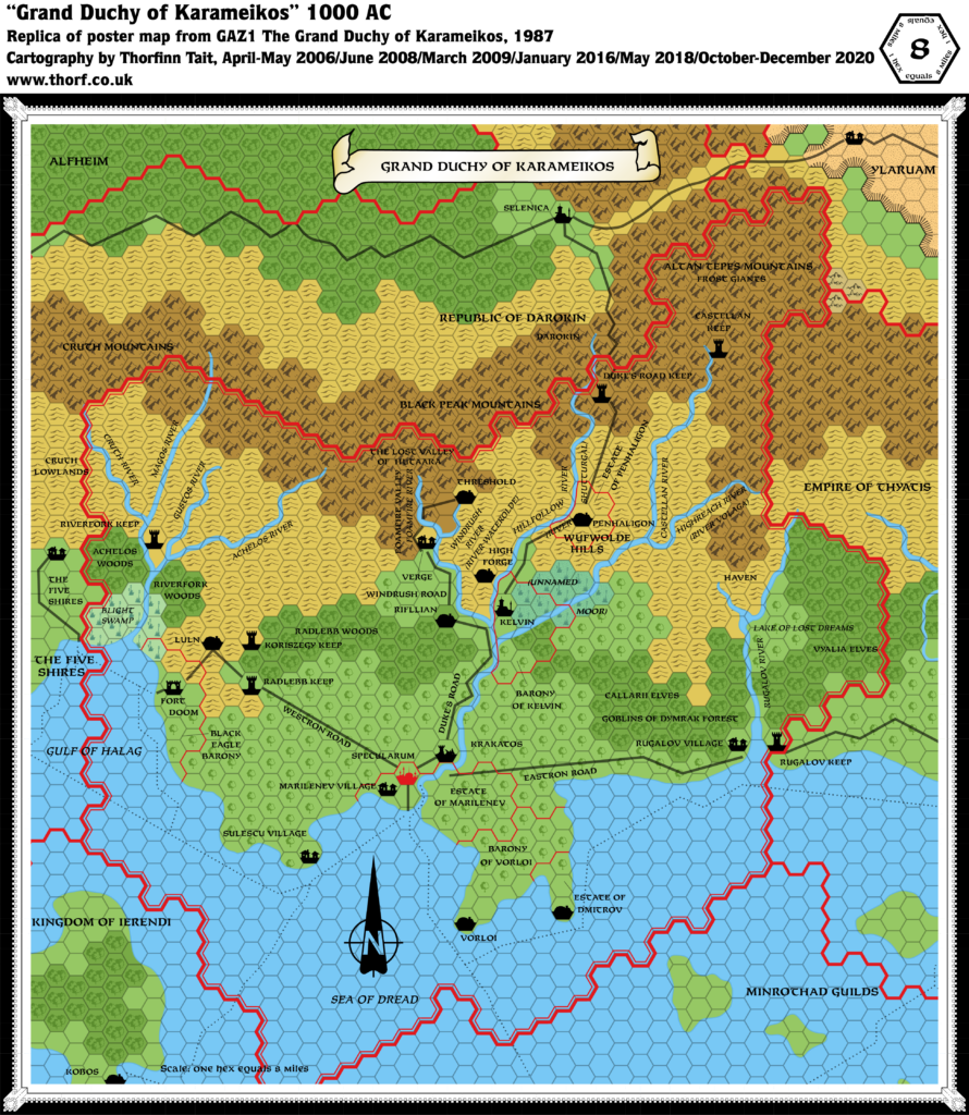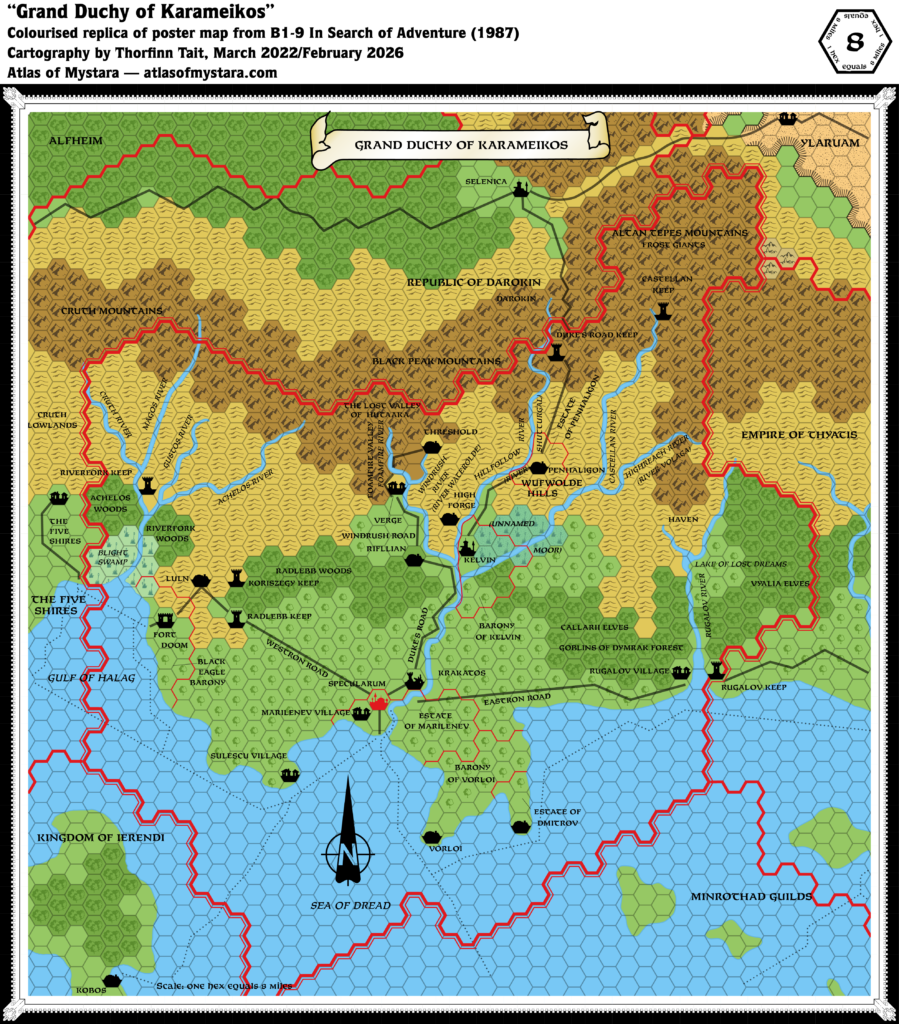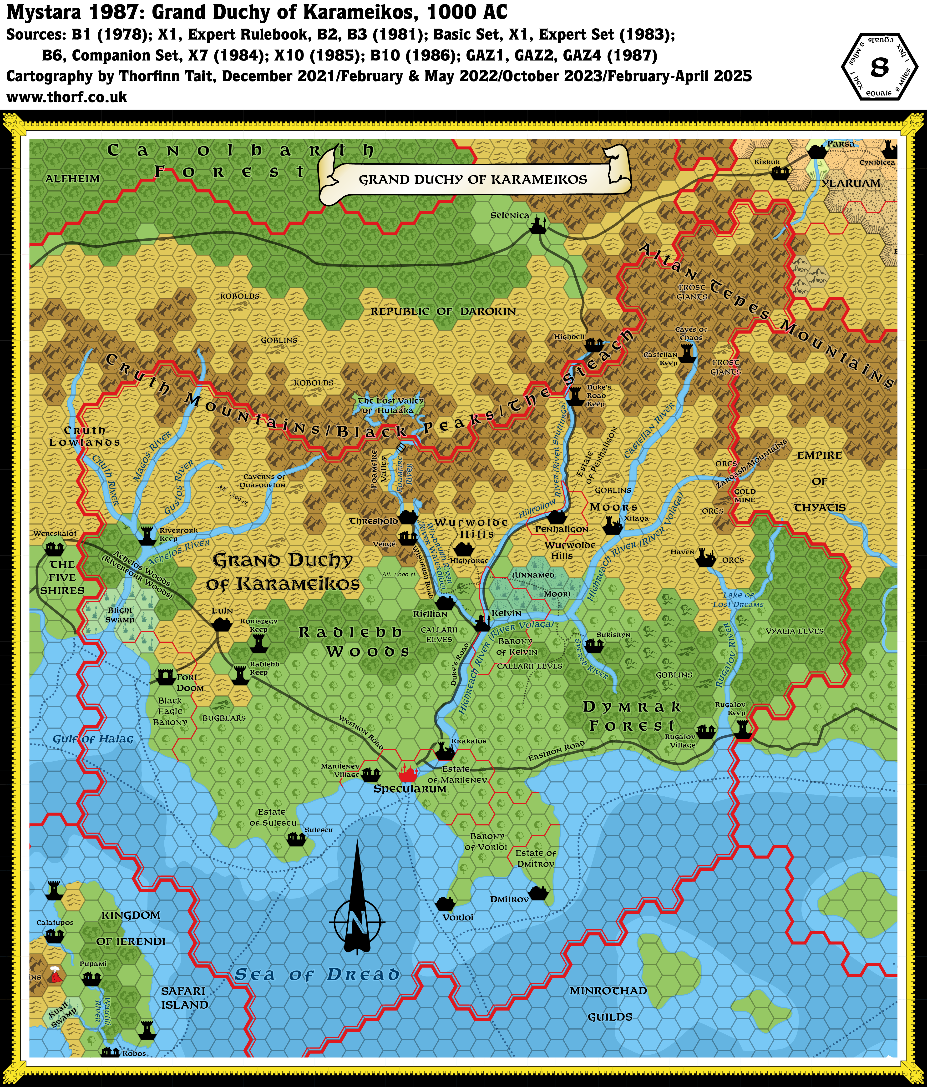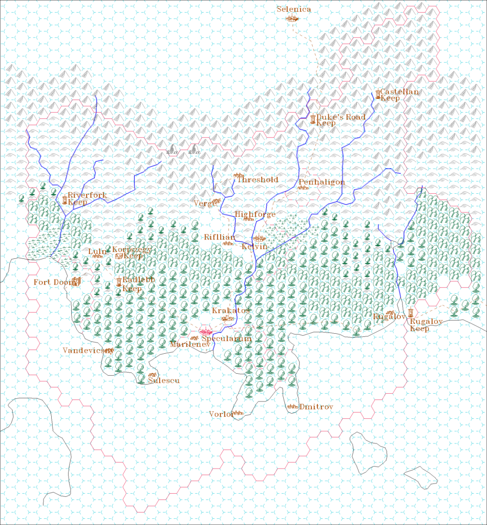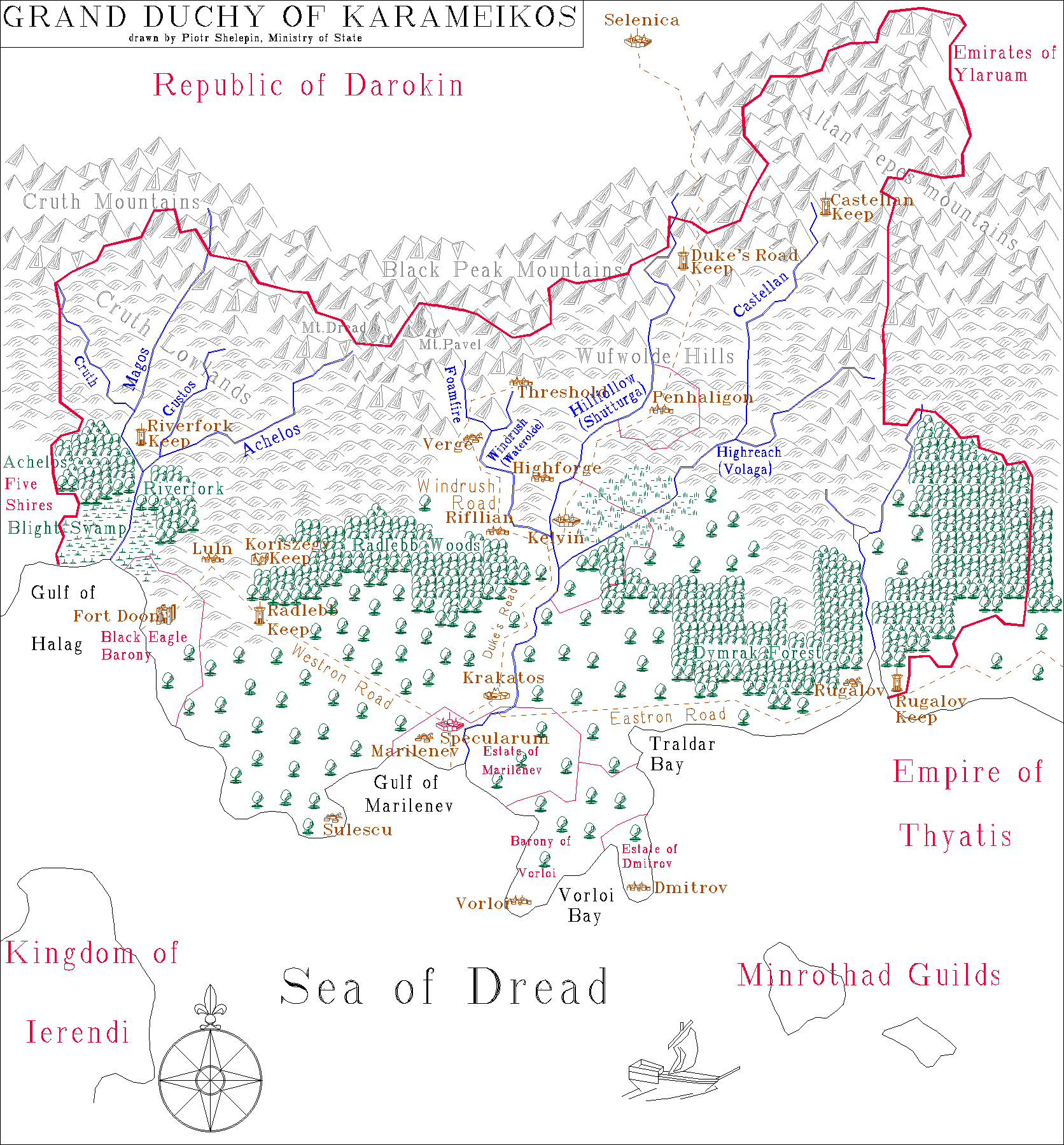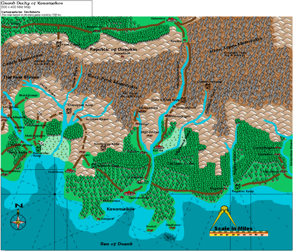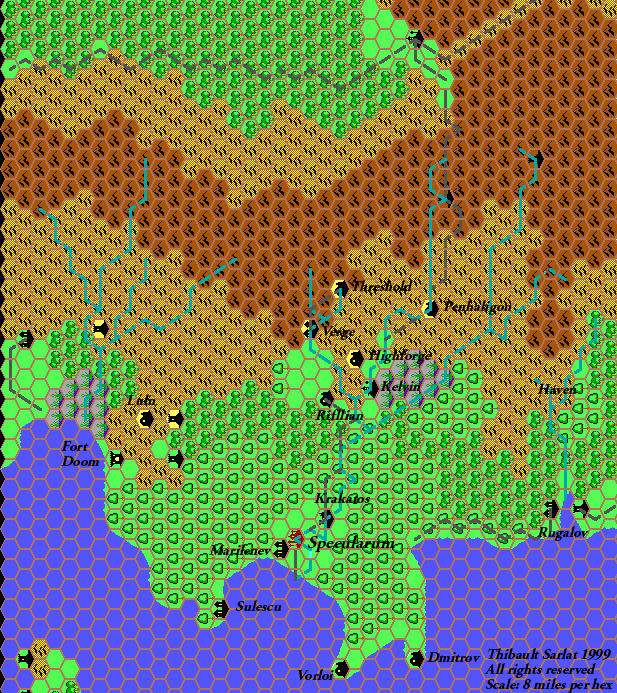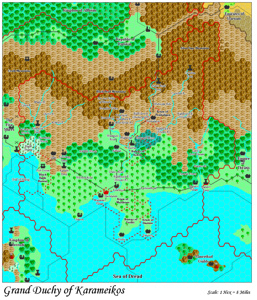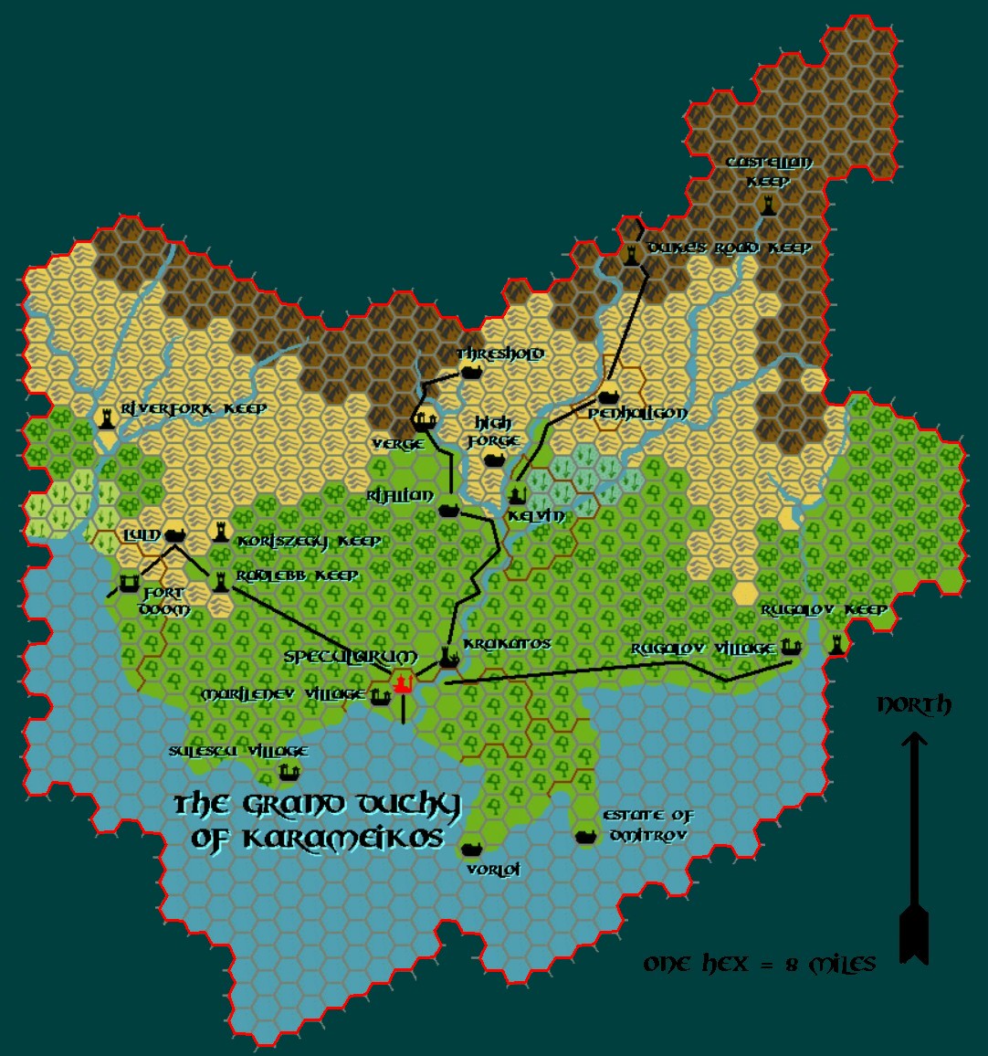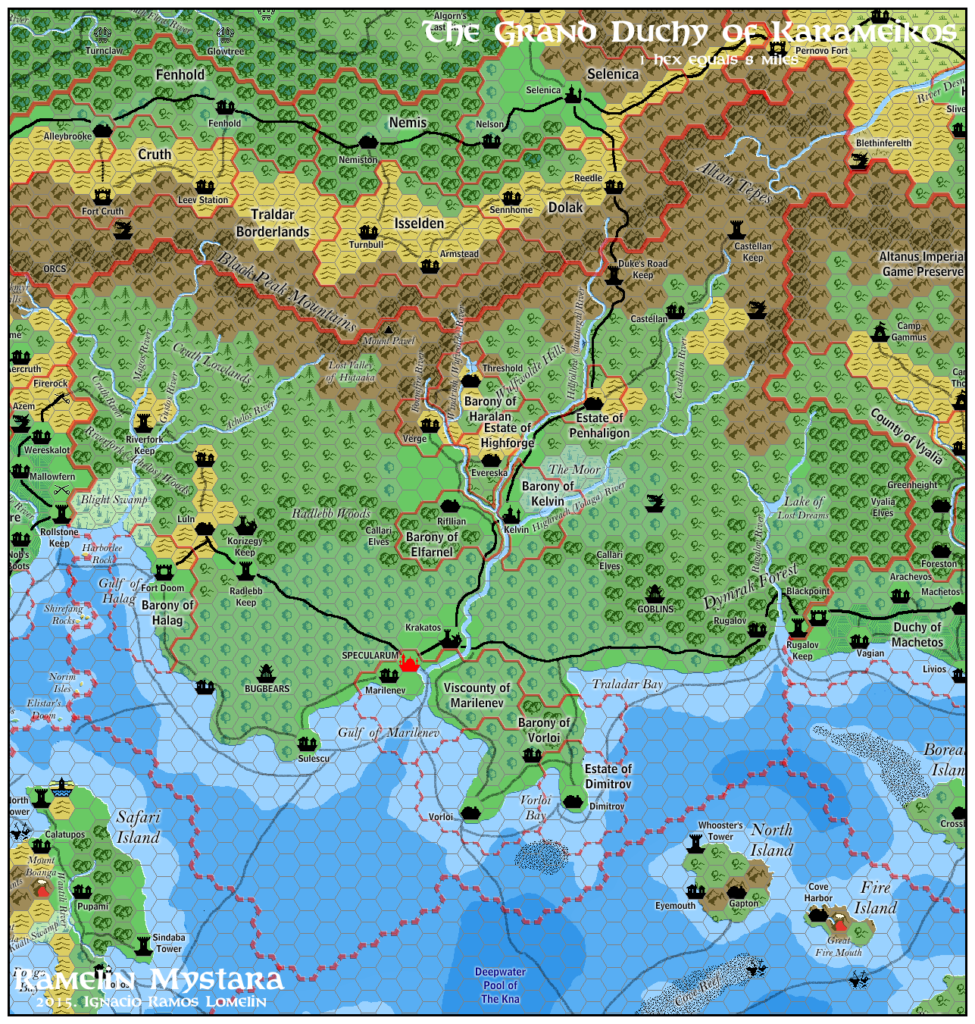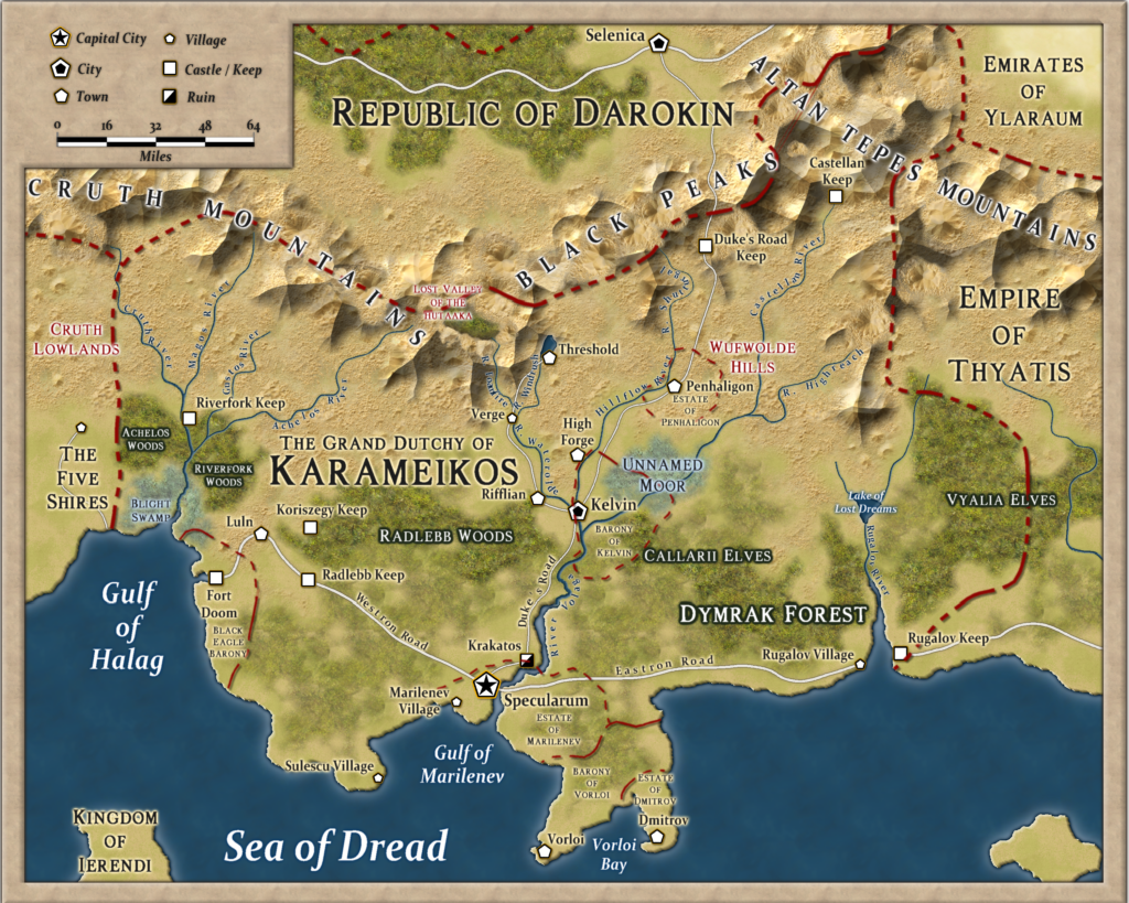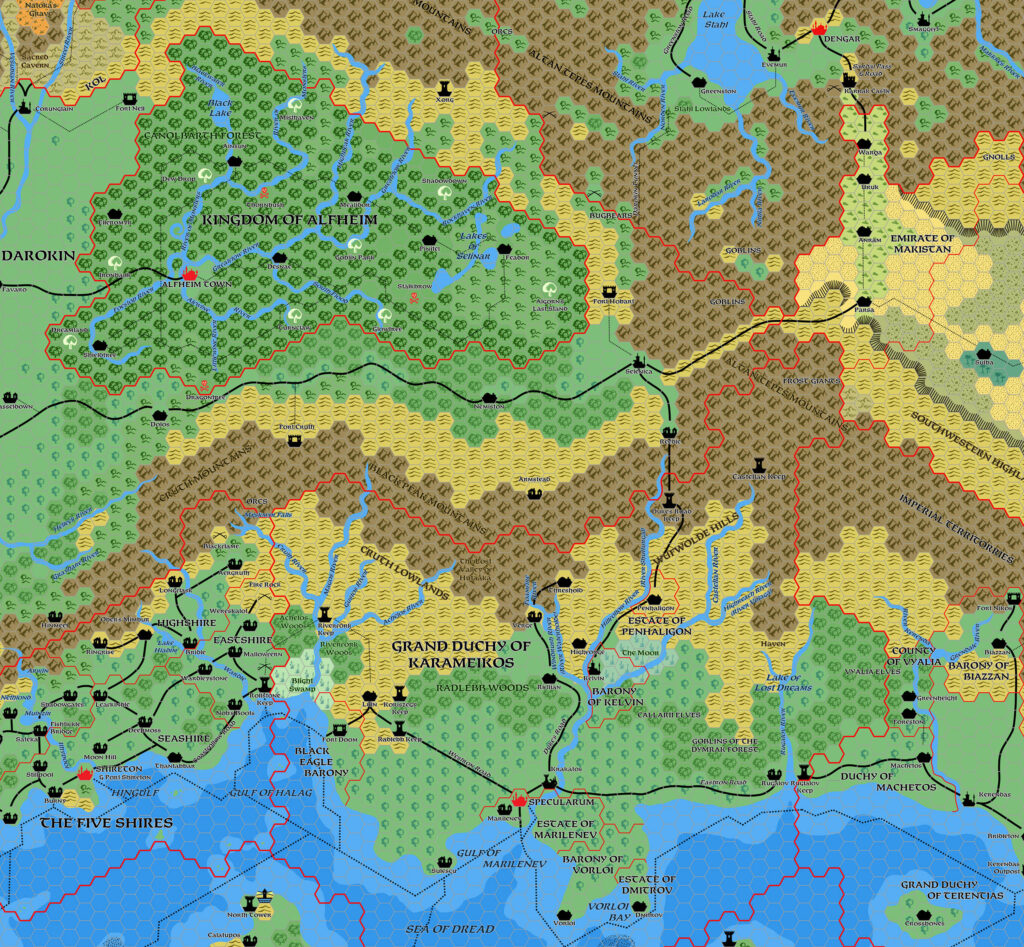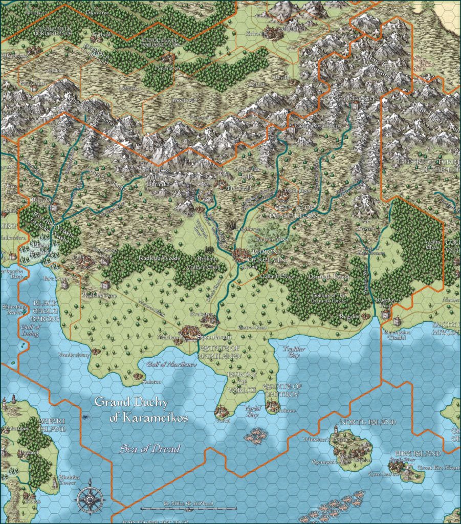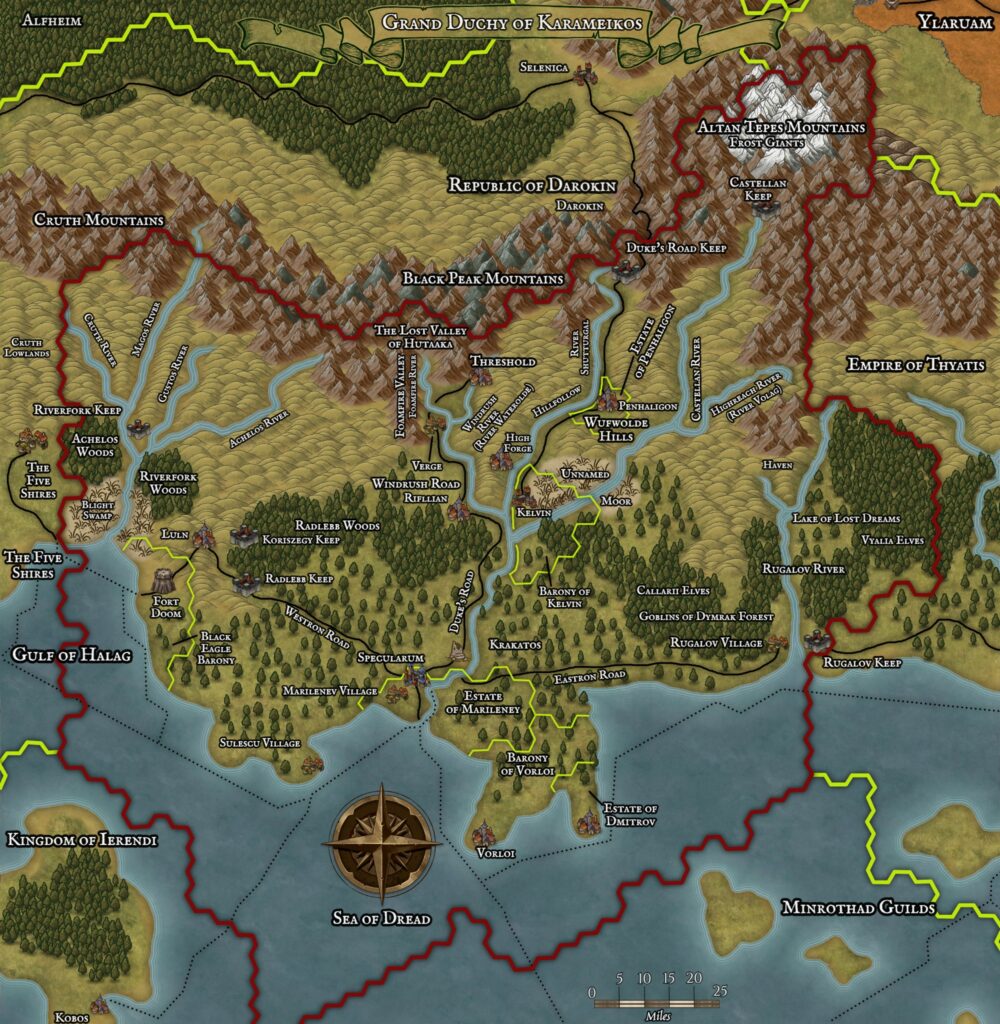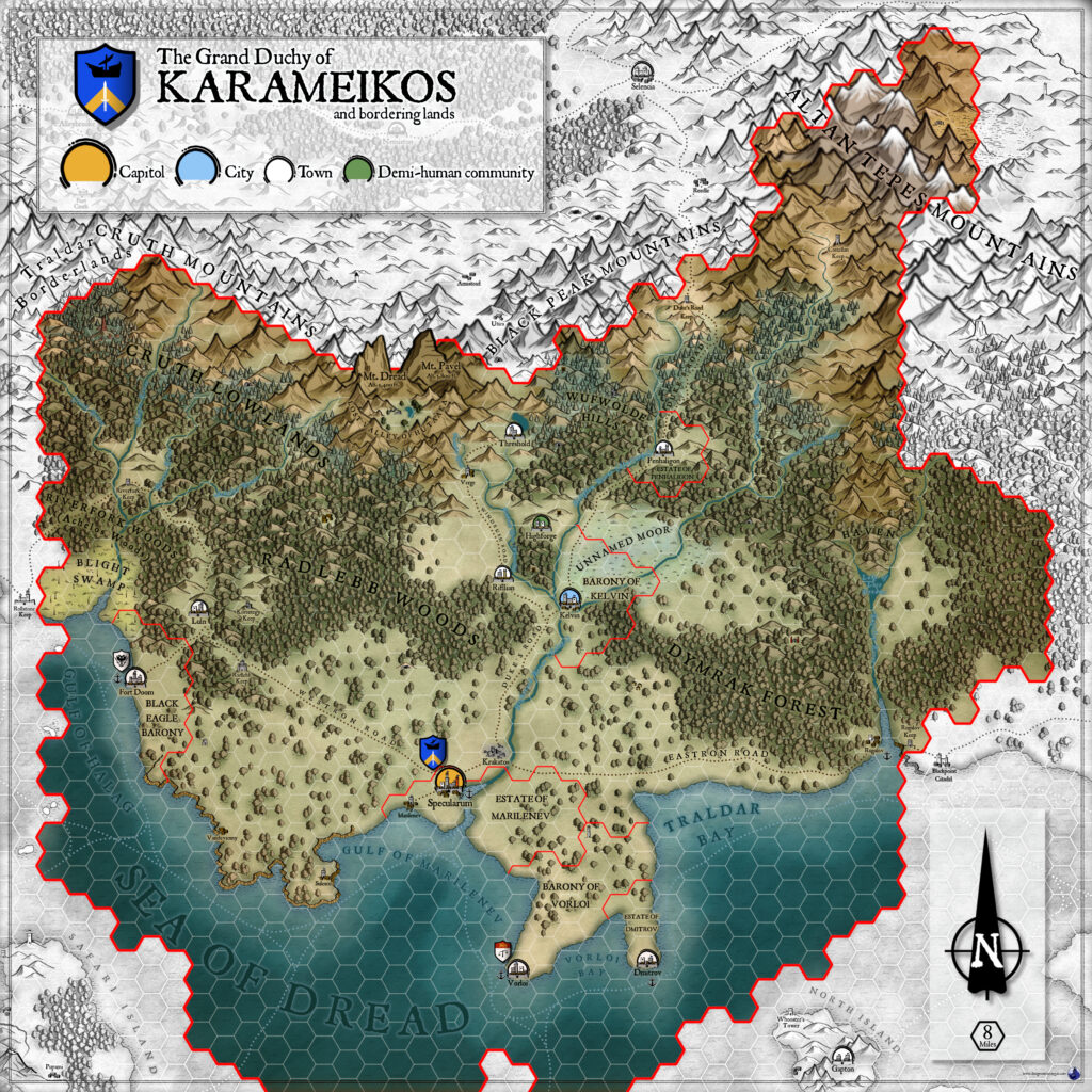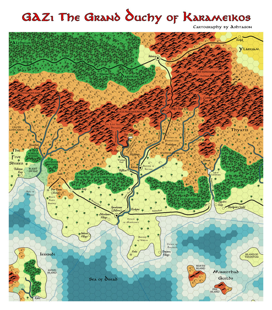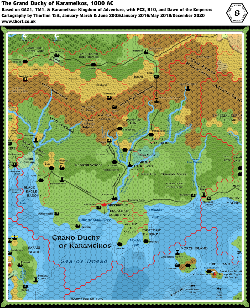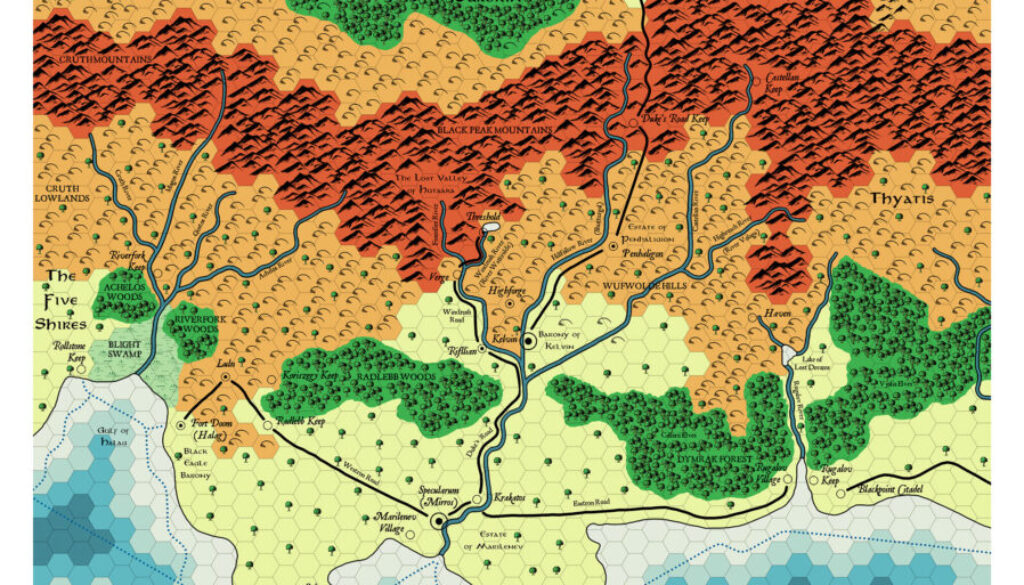
Ashtagon’s GAZ1 Karameikos, 8 miles per hex
Emma did something rather special for her Karameikos map. She posted a great explanation at The Piazza:
This map covers the area of Karameikos from GAZ1. However, it’s clearly not a simple “near-replica”. I had long said I wasn’t going to make a map of Karameikos, partly because every Mystaran cartographer does that one, and partly because once I had gotten past the initial learning curve of how to make maps, there seemed little point in doing Karameikos unless I could add something new. This is that something new.
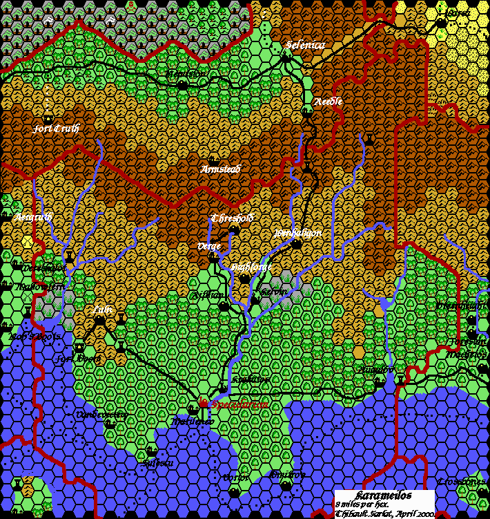
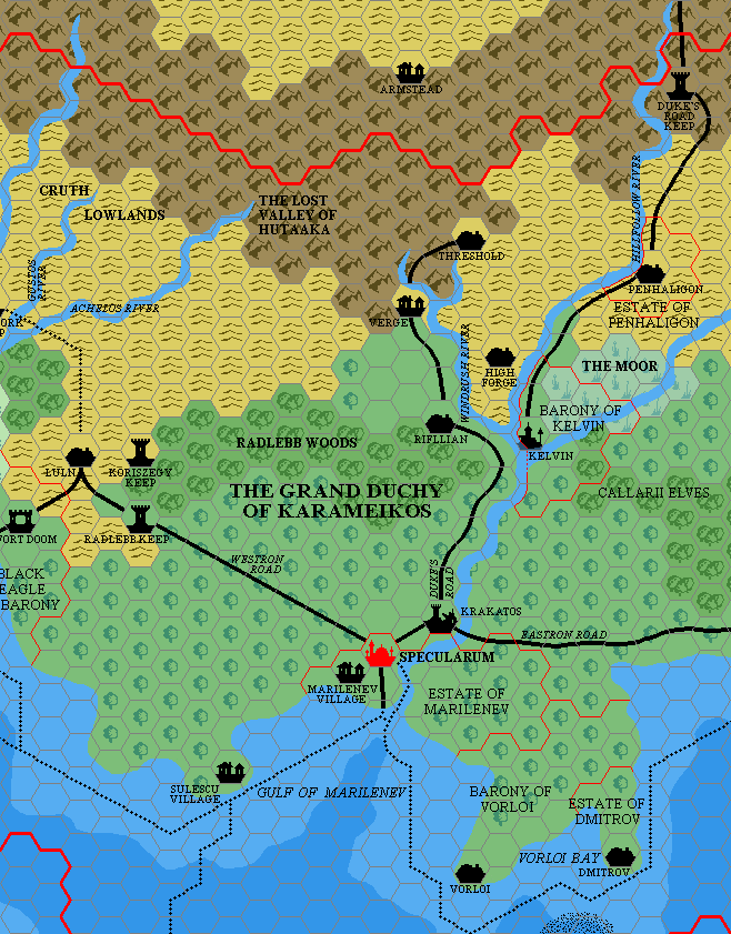
The map is made in the style of Darlene’s original Greyhawk map. The shape of the Radlebb and Dymrak forests, and the precise location of some settlements, was taken from the AD&D Mystara product line. Reference was made to Thorf’s updated maps to check what the terrain was in most areas and to reflect that in the choice of symbols used to represent mixed terrain types.
I’m rather glad she made a Karameikos map. Even if everyone makes them, I’m always happy to see more — and she certainly managed to make her version unique. Bravo!
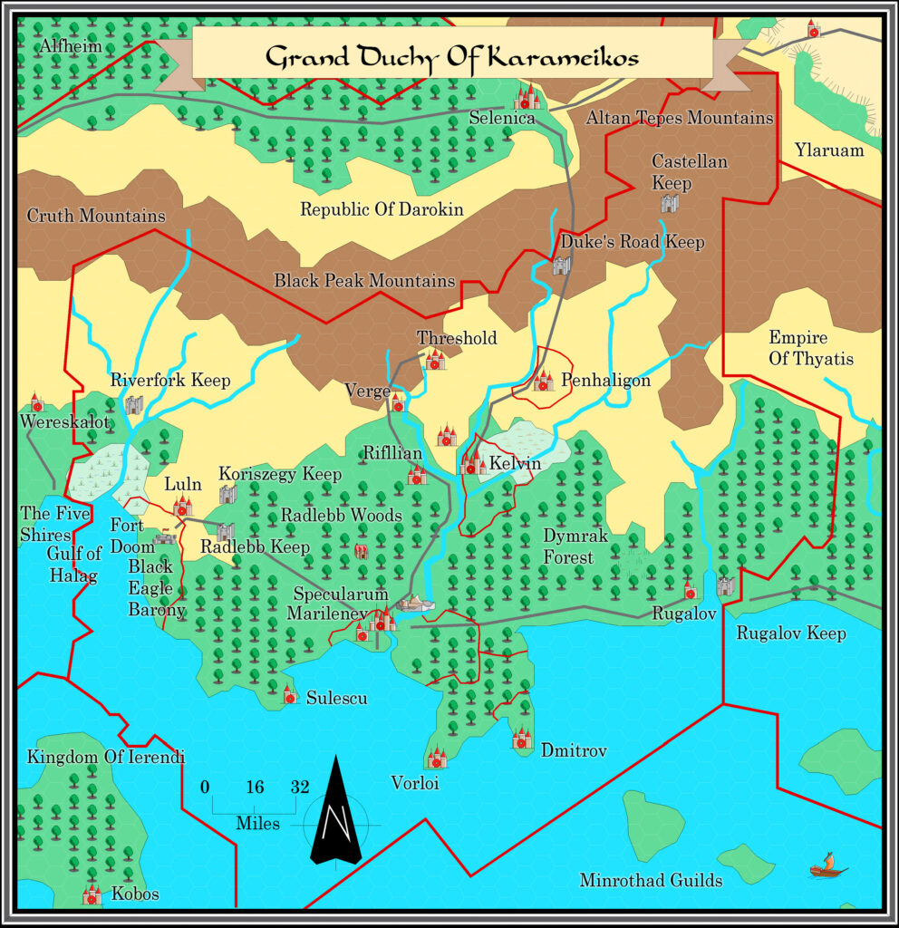
To tell the truth, I had always thought that the AD&D Karameikos: Kingdom of Adventure map was done in this style, but now I see that wasn’t quite the case. The palette is similar, but the symbols themselves are all rather different.
In any case, well done Emma for this unique twist on an otherwise ubiquitous map.
Fan-made Map by Emma Rome (August 2026)
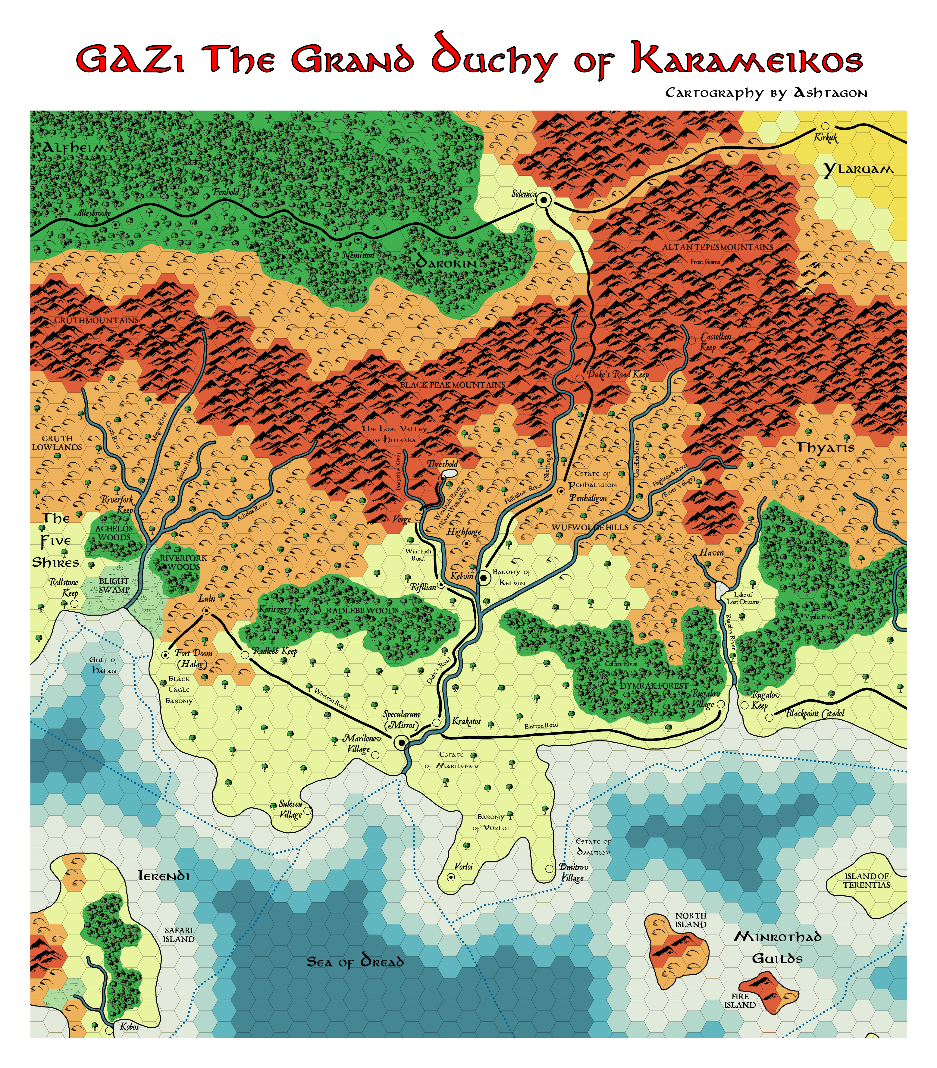
This is an original map created by one of Mystara’s excellent fan cartographers. For more information on the cartographer, including a gallery of all their maps, see also Appendix M: Mappers of Mystara.
Sources
- GAZ1 The Grand Duchy of Karameikos (1987) (PDF at DriveThruRPG)
Fan Sources
- Atlas of Mystara (2005-present)
- GAZ1 The Grand Duchy of Karameikos map discussion thread at The Piazza (August 2026)
References
- All of Emma’s maps at the Atlas of Mystara
- Emma’s entry in Appendix M: Mappers of Mystara (upcoming)
- Emma’s author page at the Vaults of Pandius
Chronological Analysis
This is a fan-made map. It was published in August 2026. The updated Atlas version of this map is Karameikos, 8 miles per hex. See also Appendix C for annual chronological snapshots of the area. For the full context of this map in Mystara’s publication history, see the upcoming Let’s Map Mystara 2026.
The following lists are from the Let’s Map Mystara project. Additions are new features, introduced in this map. Revisions are changes to previously-introduced features. Hex Art & Fonts track design elements. Finally, Textual Additions are potential features found in the related text. In most cases, the Atlas adopts these textual additions into updated and chronological maps.
Under Construction! Please check back again soon for updates.
Additions
Revisions
Hex Art & Fonts
- Fonts — Aniron and JSL Ancient.