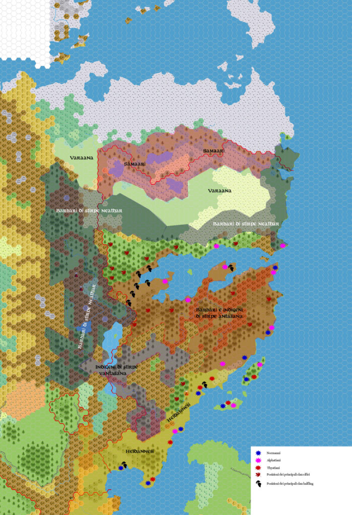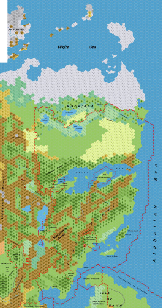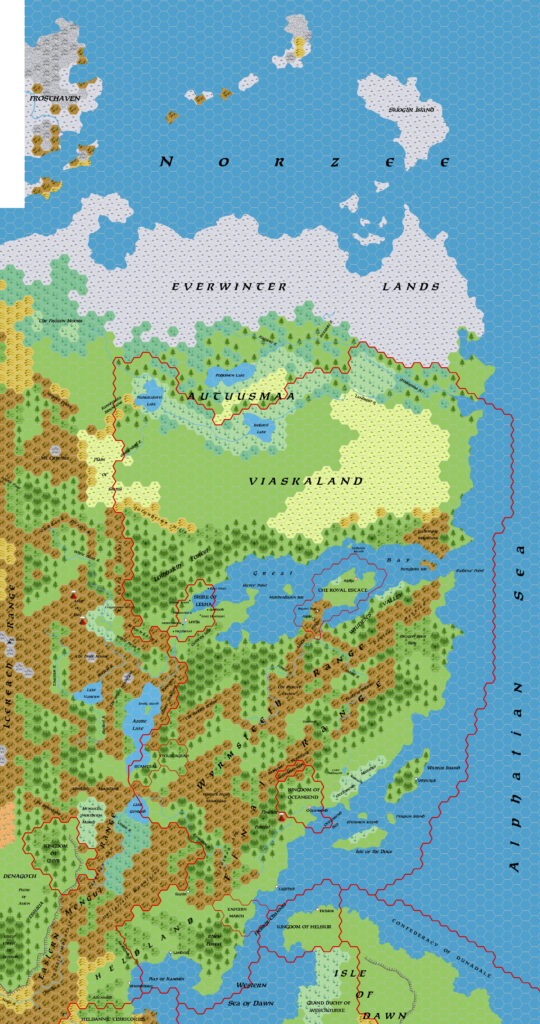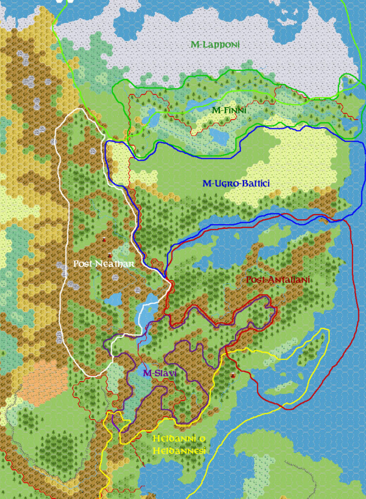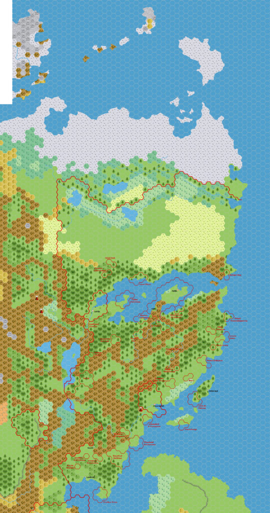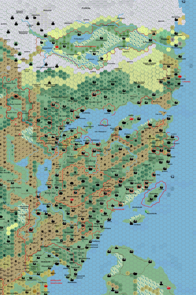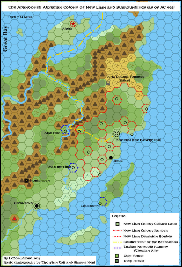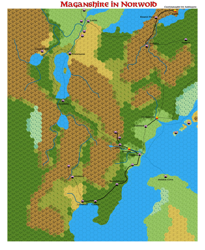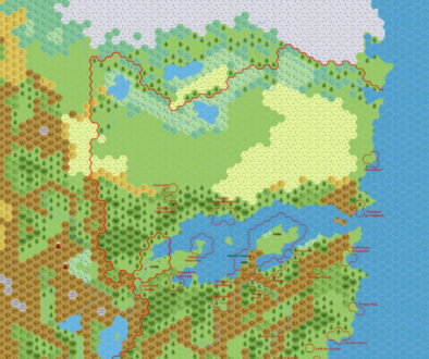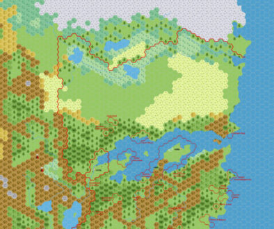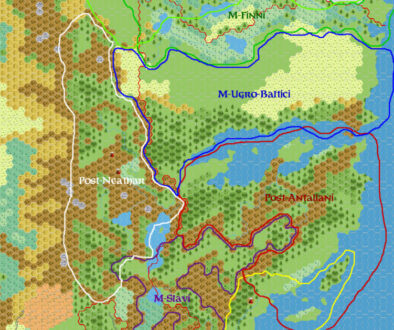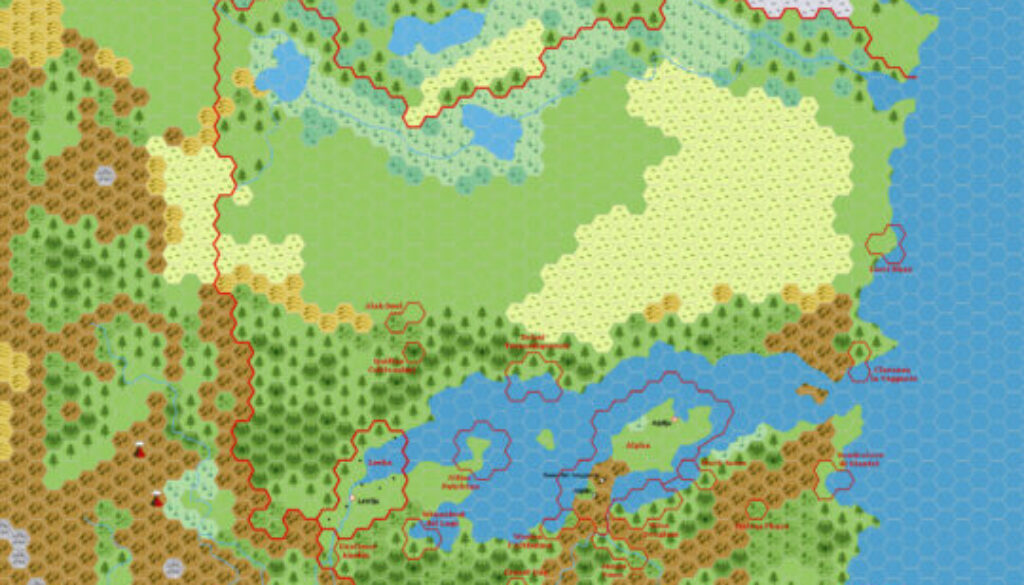
Zendrolion’s Norwold Domains, 24 miles per hex v3
The third iteration of Simone’s Norwold mostly involved minor tweaks to dominion sizes and positions. The main revision was in the south. In Simone’s own words (translated by Google Translate):
… guided by your suggestions, I’ve permanently removed Eastern March from Norwold and slightly reorganized the southern domains (otherwise we’d have been left with a hole).
After this map, the conversation moved on to demographics — Simone’s primary interest. He mostly adopted the configuration shown in this map going forward, and his final 1.5 political map inherited its borders almost verbatim. That map, along with its companion 1.7 geographical map, carried forth Simone and the Italian community’s vision of Norwold as a very influential model for years afterwards.
Thus, this map ended up being a very important development point for his Norwold mapping project. It’s fascinating to get a glimpse into how it developed over the three different versions. If you’re interested in the placement of dominions in Norwold, I highly recommend reading the original discussion.
Fan-made Map by Simone Neri (May 2006)
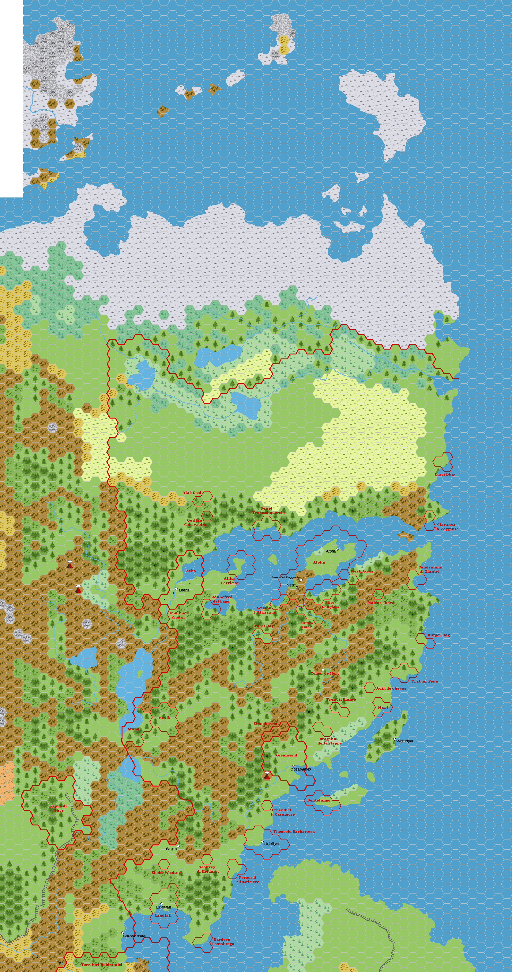
This is an original map created by one of Mystara’s excellent fan cartographers. For more information on the cartographer, including a gallery of all their maps, see also Appendix M: Mappers of Mystara.
Sources
Fan Sources
- Zendrolion’s Norwold, 24 miles per hex v1.5 (May 2006)
- Zendrolion’s Norwold Ethnographical, 24 miles per hex v2 (May 2006)
- Zendrolion’s Norwold Domains, 24 miles per hex v1 (May 2006)
- Zendrolion’s Norwold Domains, 24 miles per hex v2 (May 2006)
References
- All of Simone’s maps at the Atlas of Mystara
- Simone’s entry in Appendix M: Mappers of Mystara (upcoming)
- Simone’s author page at the Vaults of Pandius
Chronological Analysis
This is a fan-made map. It was published in May 2006. The updated Atlas version of this map is not yet available. See also Appendix C for annual chronological snapshots of the area. For the full context of this map in Mystara’s publication history, see the upcoming Let’s Map Mystara 2006.
The following lists are from the Let’s Map Mystara project. Additions are new features, introduced in this map. Revisions are changes to previously-introduced features. Hex Art & Fonts track design elements. Finally, Textual Additions are potential features found in the related text. In most cases, the Atlas adopts these textual additions into updated and chronological maps.
Under Construction! Please check back again soon for updates.
Additions
- XXX —
Revisions
- XXX —
Hex Art & Fonts
- Hex Art —
- Fonts —