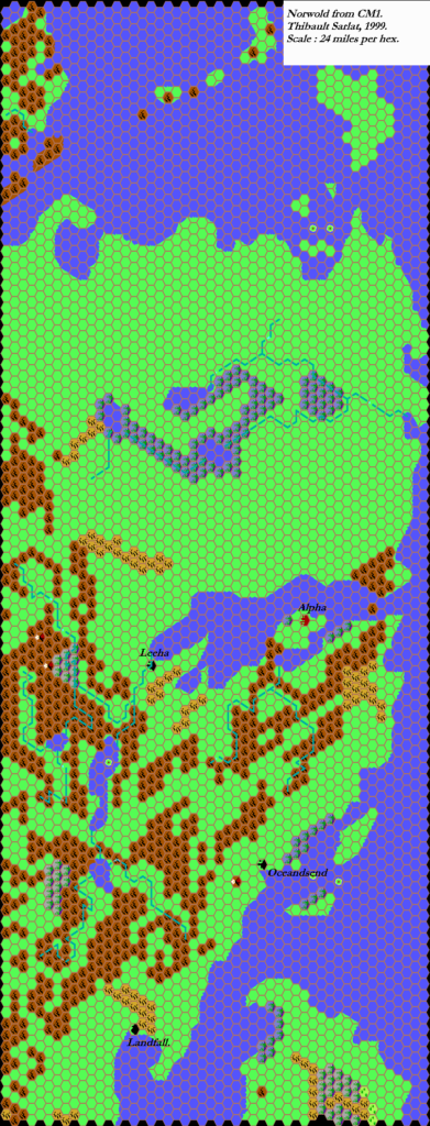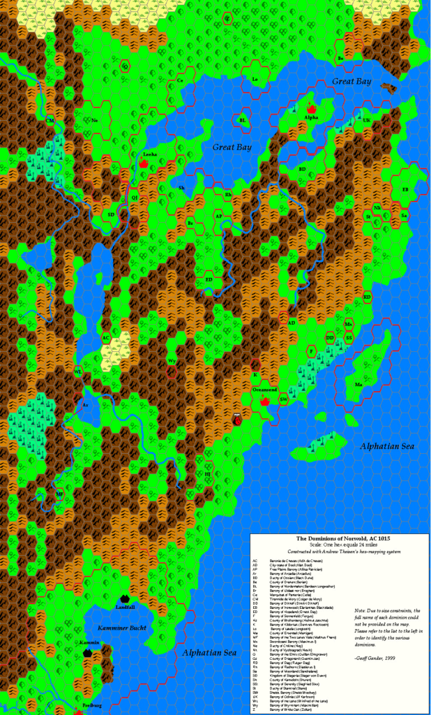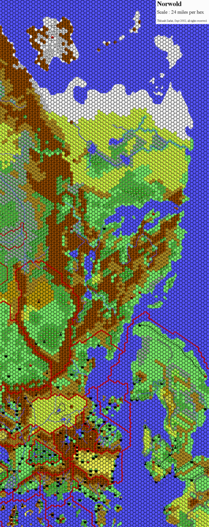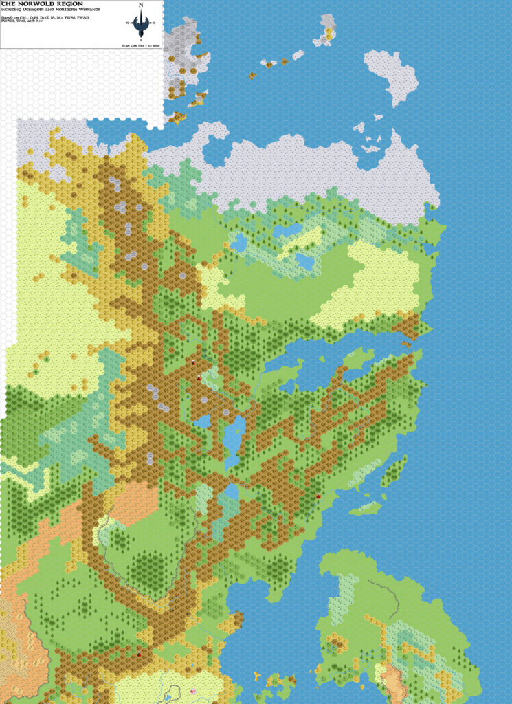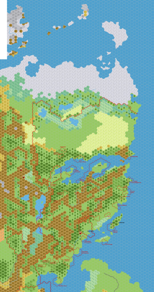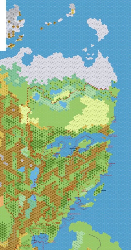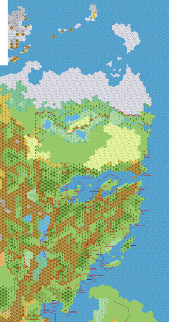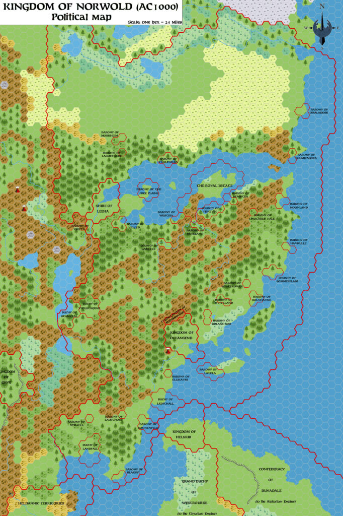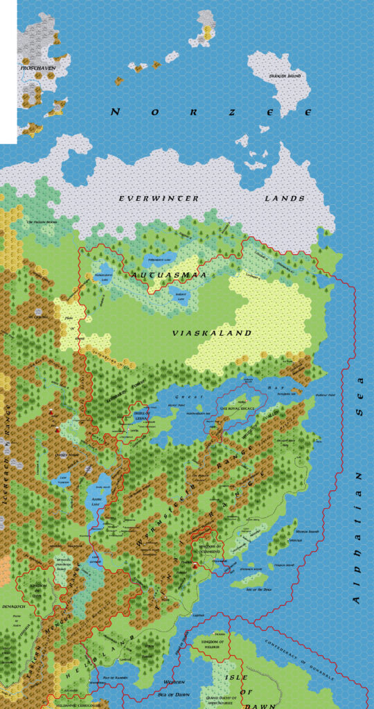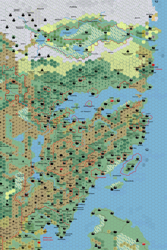
Zendrolion’s Norwold, 24 miles per hex v1.3
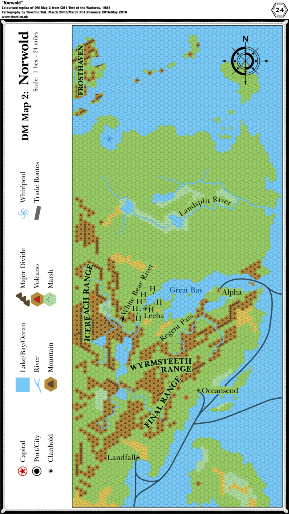
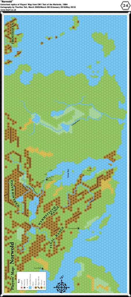
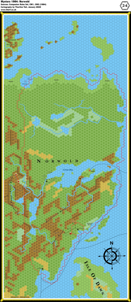
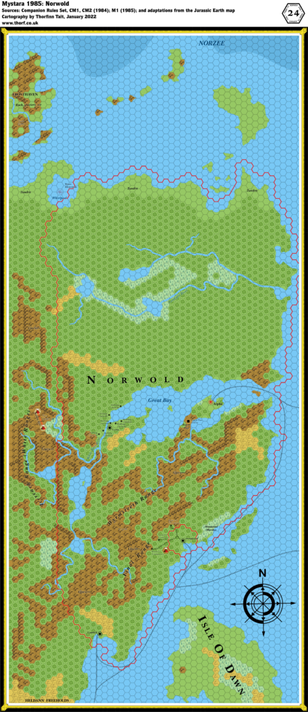
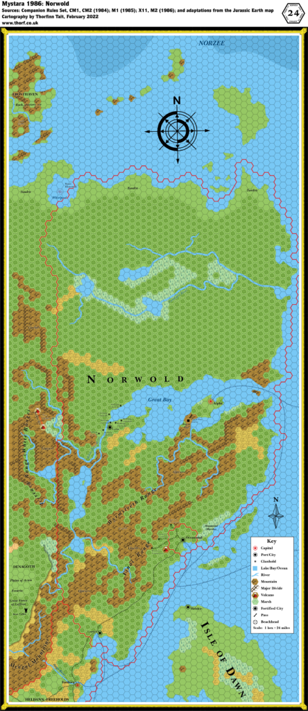
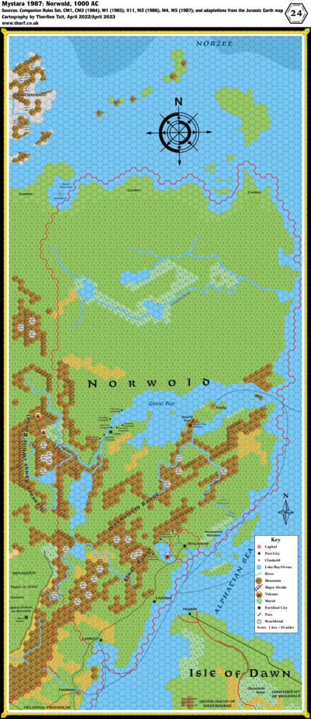
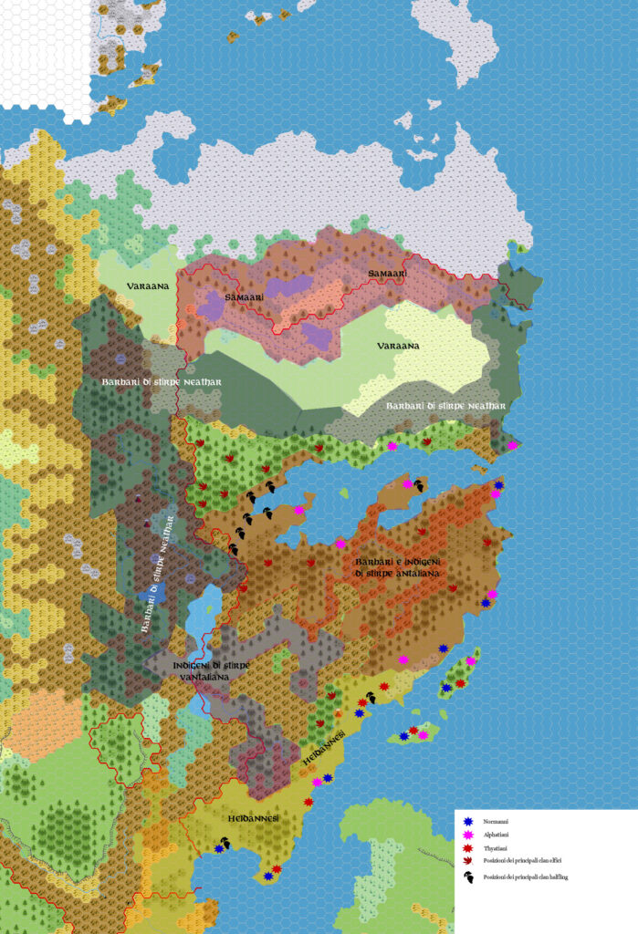
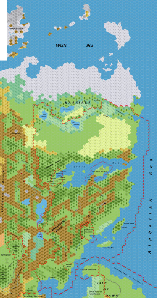
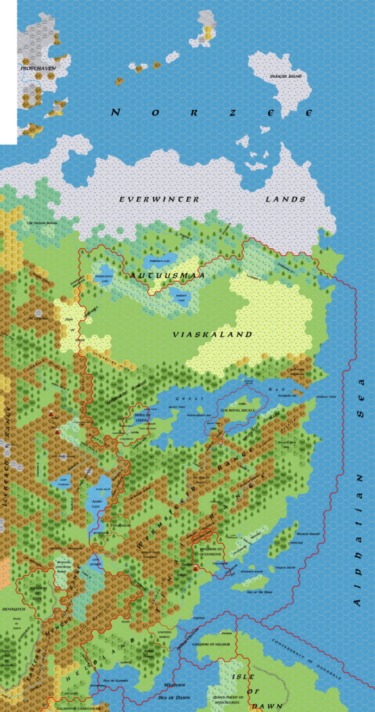
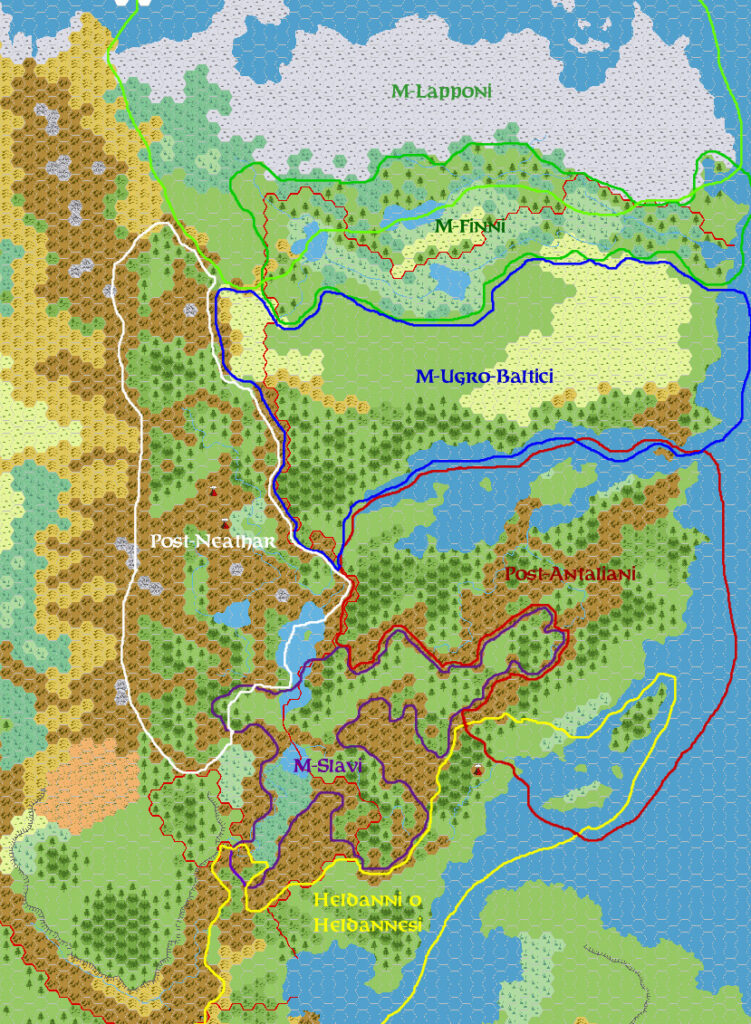
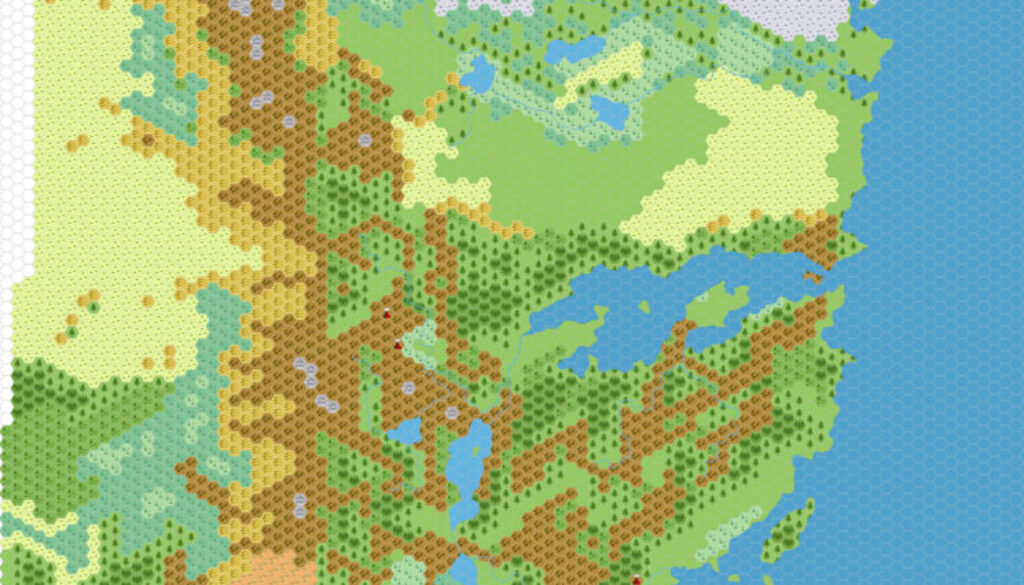
Simone created this map in 2006 to solve an infamous problem with Mystaran cartography that I have taken to calling the Norwold Conundrum. In short, X1’s Known World, CM1’s Norwold, and X11’s Wendar & Denagoth maps do not fit together well… or in fact at all, in the case of the latter two. He and Michele Carpita collaborated on the design on the Italian MMB, in a thread named “Northern Wildlands e territori circostanti” (“Northern Wildlands and surrounding territories”). There, they succeeded in working up a blank map of Norwold, with no settlements or labels, but all the terrain marked. This map appears first below. Unfortunately, the original thread was lost along with most of the Italian MMB, and this “version 1.3” is the earliest version of the map we have.
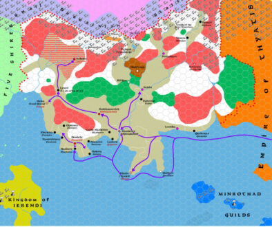
However, I have managed to track down an archived version of a later thread. That thread, part of Simone’s wider Mystaran demographics project, included their map in its first post. The version shared there was marked “1.3 political” — the same map, but with national borders marked on. I have included it second below.
The blank map from the original thread was the first version they posted to the English community, in the “Landfall/Helskir – One for the cartographers” thread on the MMB, in June 2006. Michele explained:
The map comes from a long discussion between me and Zendrolion (with the help of some other users) in the Italian Message Board.
Actually, to solve the coastline problem we found that the simplest solution is to use the M2 Norwold map.
Those other users were most likely Marco Dalmonte (DM), Giampaolo Agosta (Agathokles), and Mariano Comense (Morgoth), who all appear extensively in the later demography thread. Simone explained further, in more detail:
I’ll try to add some details to what LoZompatore already said. The reasoning was based on the following points:
- The ONLY map that shows the relative positions of Norwold, the Known World and the Isle of Dawn is the 72-miles/hex map of DotE; something it’s also found in TM2 and in WotI’s weird-scaled map.
- The Norwold area is based on the CM1-M2 24-miles/hex maps.
- The Wendar-Denagoth-Heldann area is based on X11 24-miles/hex map. The coastline north of the Freeholds is in contrast with all other official maps, so it’s to be discarded in favor of CM1 coastline. Not so the area west of the Menguls, which contains Denagoth and should be considered more attendible than CM1 map for the same interior area. X11 map should also be considered correct in regard to the Heldann Freeholds, but only within their boundaries.
- While the large DotE map sets the relative positions of Freiburg and Landfall, the CM1-M2 maps show clearly the junction area between Heldann and Norwold. They seem to coincide quite correctly.
At the time Simone posted this map in June 2006, he had already finished multiple passes on a fully labelled version over on the Italian MMB. Most likely he held off from sharing that version with the English Mystara community until it was more complete. He did this in November, posting the 1.7 and 1.5 political versions in their own thread on the MMB.
Fan-made Maps by Simone Neri (March 2006)
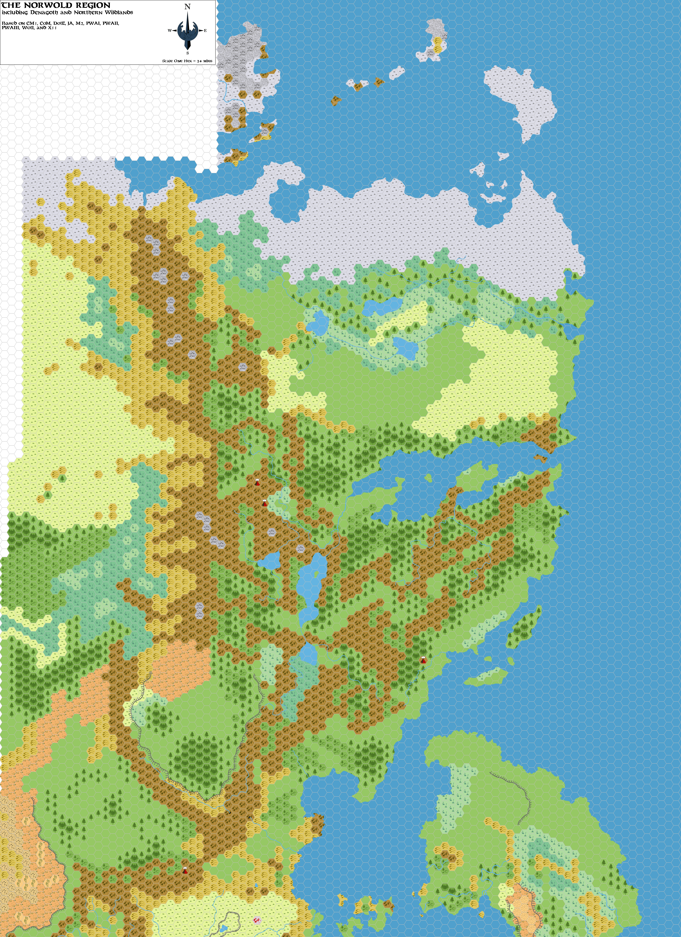
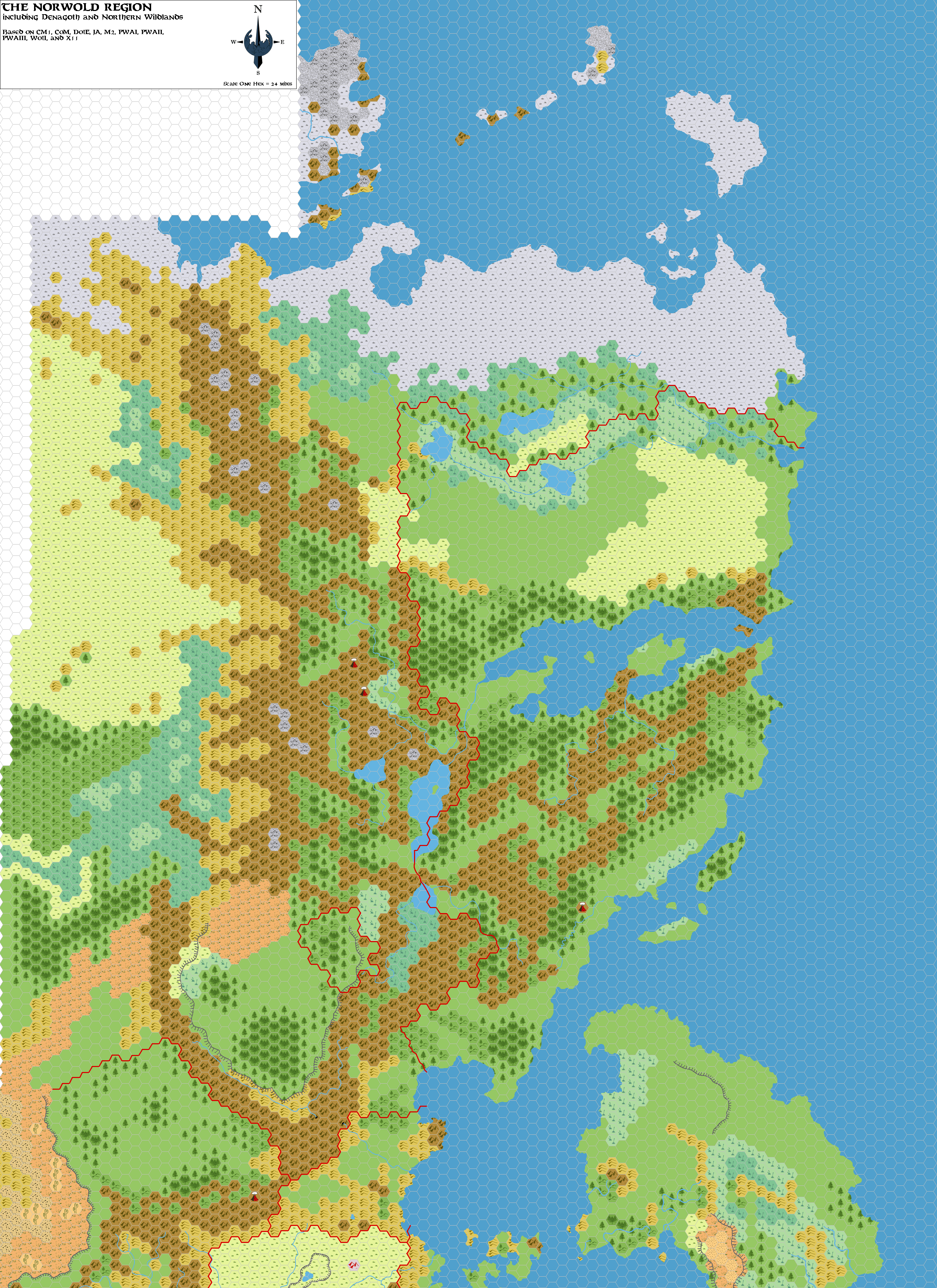
This is an original map created by one of Mystara’s excellent fan cartographers. For more information on the cartographer, including a gallery of all their maps, see also Appendix M: Mappers of Mystara.
Sources
Fan Sources
References
- All of Simone’s maps at the Atlas of Mystara
- Simone’s entry in Appendix M: Mappers of Mystara (upcoming)
- Simone’s author page at the Vaults of Pandius
Chronological Analysis
This is a fan-made map. It was published in March 2006. The updated Atlas version of this map is not yet available. See also Appendix C for annual chronological snapshots of the area. For the full context of this map in Mystara’s publication history, see the upcoming Let’s Map Mystara 2006.
The following lists are from the Let’s Map Mystara project. Additions are new features, introduced in this map. Revisions are changes to previously-introduced features. Hex Art & Fonts track design elements. Finally, Textual Additions are potential features found in the related text. In most cases, the Atlas adopts these textual additions into updated and chronological maps.
Under Construction! Please check back again soon for updates.
Additions
- XXX —
Revisions
- XXX —
Hex Art & Fonts
- Hex Art —
- Fonts —