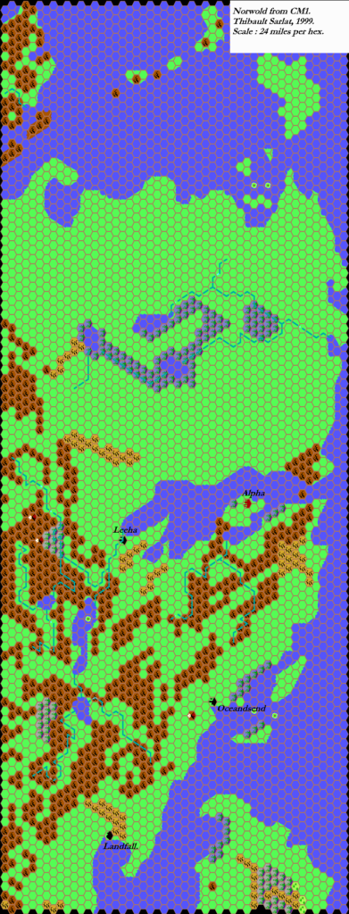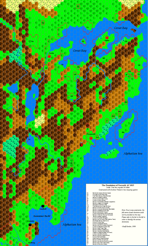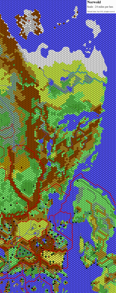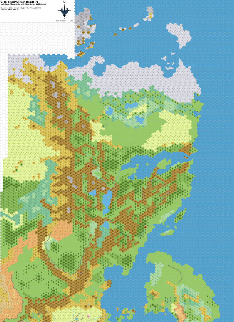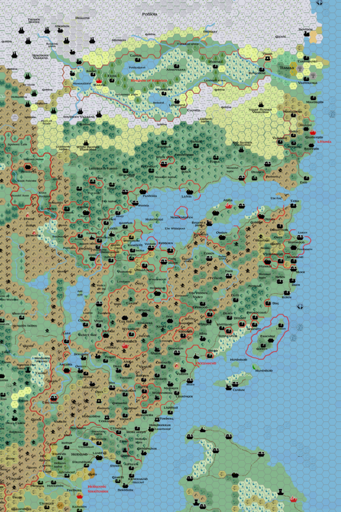
Zendrolion’s Norwold, 24 miles per hex v1.7
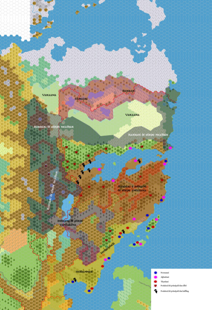
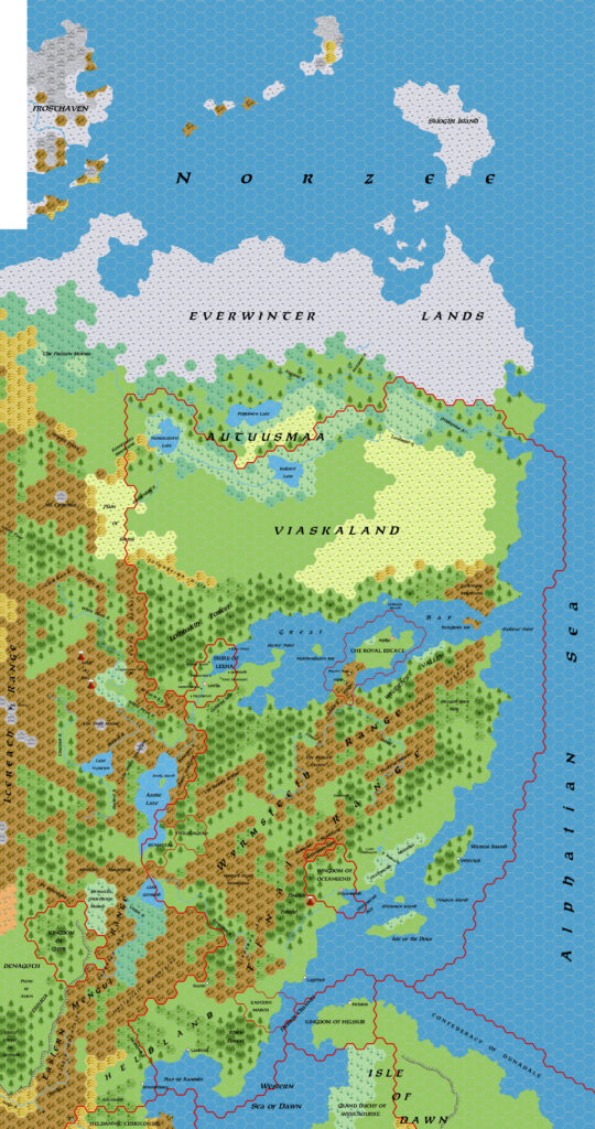
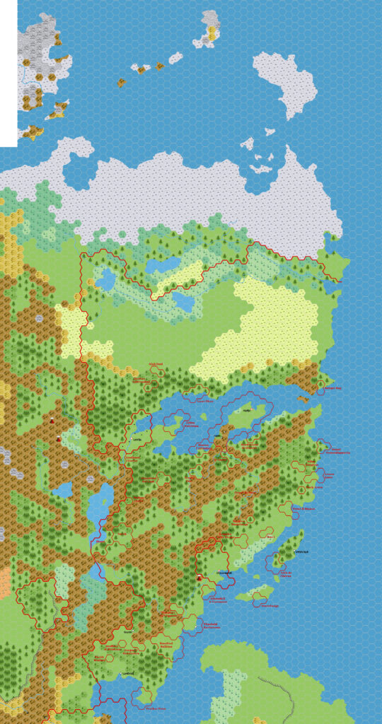
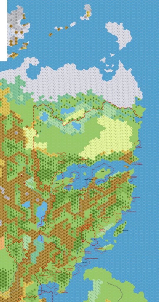
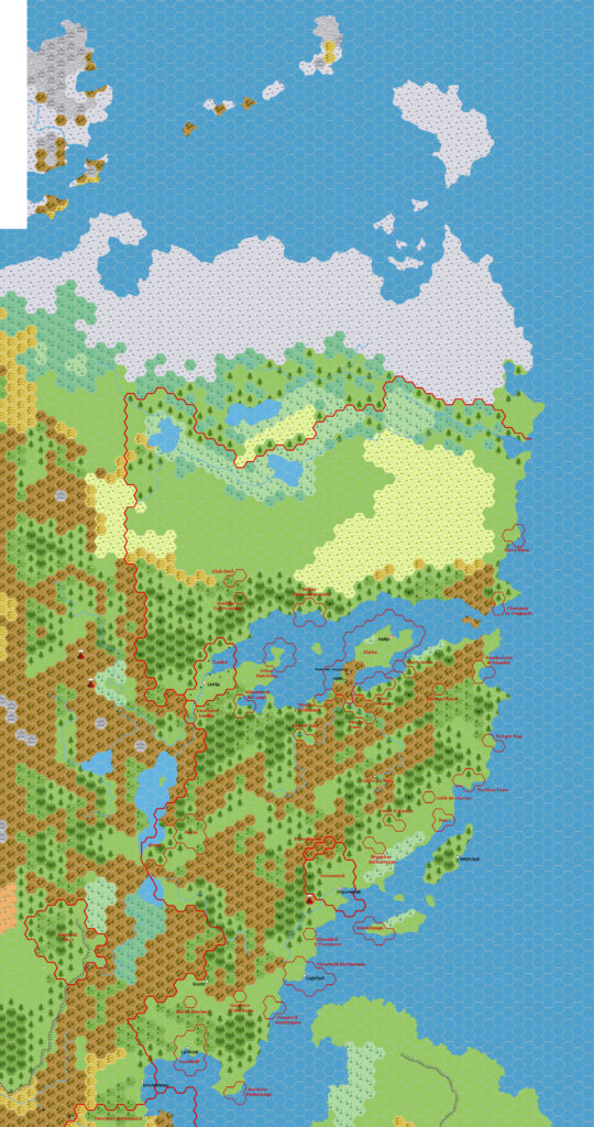
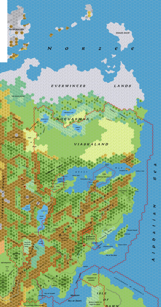
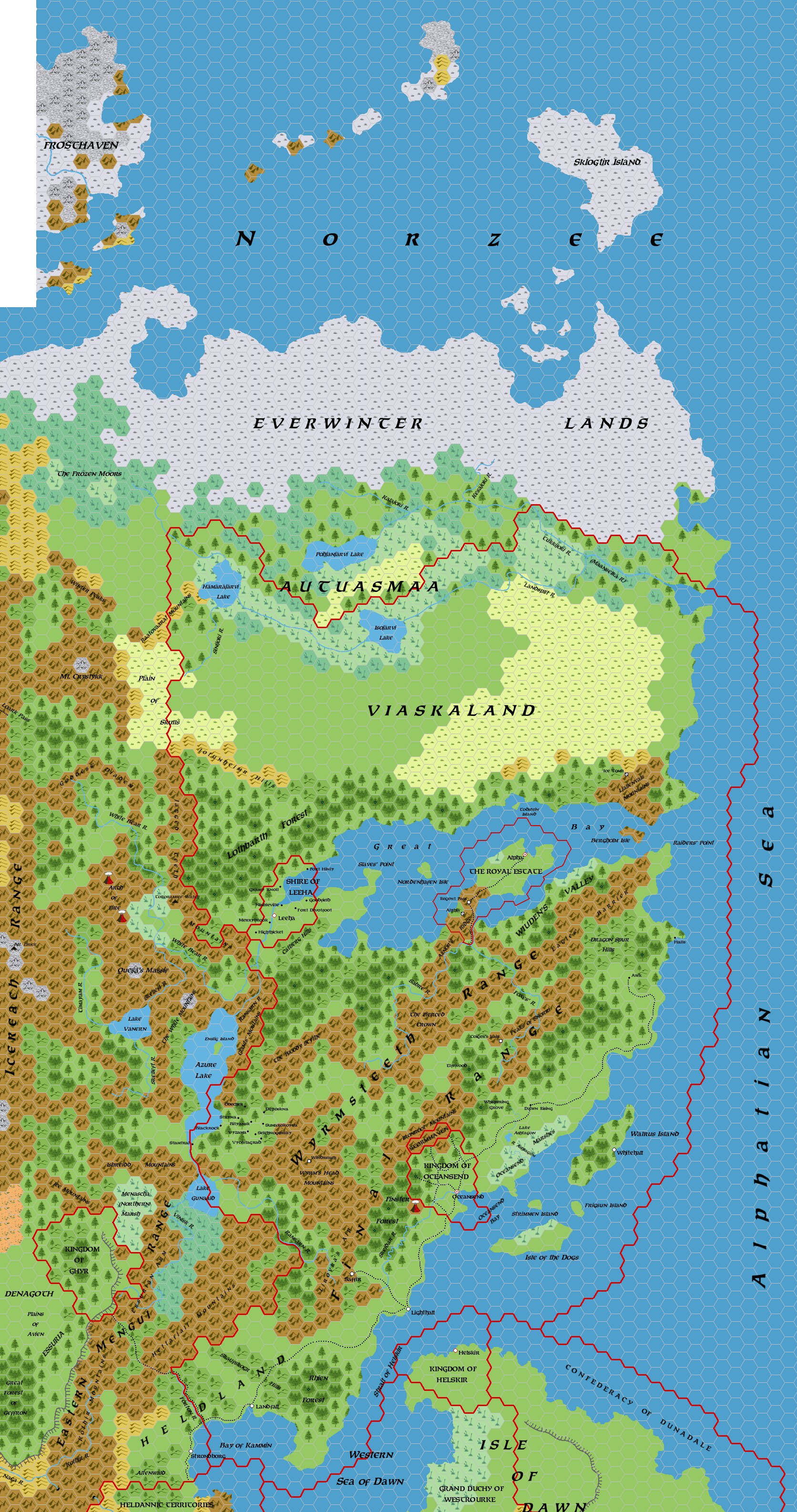
Here it is: Simone Neri’s famous Norwold map. Forged on the Italian MMB, later tempered on the MMB, and once finalised, left as a wonderful resource for the community.
The history of this map is rather involved and even a little convoluted, but I’ll try my best to sort it out and explain it.
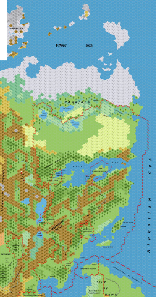
As I mentioned in the post for the previous 1.5 version of the map, although the archived versions of the Norwold from the Italian MMB thread on the MMB all point to this version (1.7) in their first post, it seems most likely that in fact the original post on 23rd November 2006 included the 1.5 map. In his post, Simone introduced the whole project in a lot of detail, and I think it’s worth quoting him in full:
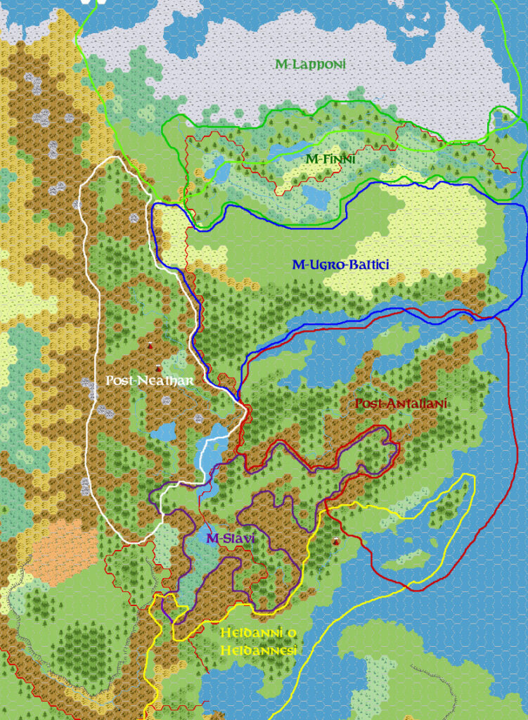
Following some requests posted in the “Future Gazetteers” thread, I’ll post here some of the work I and my friends on the Italian MMB (some of whom you should probably already know – DM, LoZompatore, Morgoth, etc.) have done on the Norwold region as part of my “Mystaran Demography” project.
I have to warn you that this version of Norwold is mostly based on canon material; in an attempt to stay as canonical as possible, we’ve reduced to the minimum any “fanonical” addition – mostly the ones that seemed to us inconsistent with the canonical description of the land; so you’ll find no large and unified kingdoms north of the Great Bay (i.e. no Kaarjala or Littonia). Be it clear that this is by no means an attempt to criticize or despise the good work many of you have done to improve this region.
We’ve indeed filled the wide gaps left in this region by lack of canon material with new cultures – most of them barbarian cultures – we deemed well-fitting with the wilderness character of the whole Norwold.
Last but not least, I’ve kept or taken many of the names for places and land features some of you have created for the Mystaran Almanac line or other contributions to the Vaults of Pandius (some palce-names are taken from one of OldDawg’s gazetteers).
First of all I’ll post the map I’ve assembled with the help of the other contributors on the Italian MMB. Regarding the Heldann-Norwold border solution (i.e. discrepancies found among canon maps of the region), I’ve chosen the solution proposed months ago by LoZompatore in this forum also; regarding the terrain types, we’ve added some forested hills in the narrower valleys and near some mountain ranges, and followed some hints of the DotE 72-miles-per-hex large map (especially for the area north of the Great Bay). Forests have been placed on the map according to what was shown in the map of Norwold featured in the PWAs. After the map (which takes into account the situation of AC1000), I’ll describe some of the features it contains:
As he often did, after the map, Simone included a very nice gazetteer list of features with some description as well as their sources.
Naturally, the map prompted a lot of admiration, as well as some comments from Finnish fan Twin Campaigns, who commented on the place names and suggested some corrections to make them sound more authentic. As a result, one week later Simone posted that he had updated the map, displacing the previous version entirely.
Here’s what Simone commented when he made this update:
I’ve edited the M-Finnish place-names in the first post (both in the map and in the text) as suggested by Twin Campaigns. 😉
I’ve also seen that the material of the first post has already been published in the Vaults. Please Stanles could you substitute the map and text put in the Vaults with the edited version? Thank you very much!
This strongly suggests that the originally-posted map was indeed version 1.5, with 1.7 replacing it just a week later. The strongest evidence for this is that Twin Campaigns suggested Autuusmaa should be revised to Autuasmaa; 1.5 has Autuusmaa, while 1.7 has Autuasmaa.
In conclusion, Simone posted his first version of the map in this post, version 1.7, at the end of November 2006.
But in fact there was one more update to come. Months later, in March 2007, Simone posted:
Another update: I’ve made some minor changes to the Norwold map in the first post (the IoD position was slightly wrong, and the Kingdom of Helskir border was too stretched to the south).
This revised map (below) is the 1.7 Norwold map that the community has grown so familiar with over the ensuing years. In fact, I have been unable to find the November 2006 revised version. It may be that it was named 1.6, which would explain the jump in versions. Unless we can find a version with Autuasmaaa but without the Isle of Dawn fixes, we may never know.
Phew! As you can see, the story of this map is a rather long one.
Now let’s talk about the content. In fact, the main parts of the map were mostly in sync with the previous version, which was already rather complete when Simone posted it. This map was more refined: it concentrated on geographical labels, only marking borders for the largest provinces of the region (Alpha, Leeha, and Oceansend). The previous version had included Vyolstagrad and other features that really belonged to the companion political versions. There were also some trails marked, where 1.5 had none.
The real devil is in the details, of course, and this was where Simone’s hard work really shone. His gazetteer listing explained all of his reasoning, including thorny topics such as the divisions between the mountains — always a thorny topic, as the original CM1 map named multiple ranges while splitting them up into many more separate areas of mountains. Simone proposed a solution for this, creating main ranges with smaller sub-ranges within them.
All in all, it was an amazing achievement, and continues to influence mappers with an interest in Norwold to this day. Bravo, Simone!
Fan-made Maps by Simone Neri (March 2007)
This is an original map created by one of Mystara’s excellent fan cartographers. For more information on the cartographer, including a gallery of all their maps, see also Appendix M: Mappers of Mystara.
Sources
Fan Sources
- Zendrolion’s Norwold, 24 miles per hex v1.3 (March 2006)
- Zendrolion’s Norwold Ethnographical, 24 miles per hex v1 (April 2006)
- Zendrolion’s Norwold, 24 miles per hex v1.4 (April 2006)
- Zendrolion’s Norwold, 24 miles per hex v1.5 (April 2006)
References
- All of Simone’s maps at the Atlas of Mystara
- Simone’s entry in Appendix M: Mappers of Mystara (upcoming)
- Simone’s author page at the Vaults of Pandius
Chronological Analysis
This is a fan-made map. It was published in March 2007. The updated Atlas version of this map is not yet available. See also Appendix C for annual chronological snapshots of the area. For the full context of this map in Mystara’s publication history, see the upcoming Let’s Map Mystara 2007.
The following lists are from the Let’s Map Mystara project. Additions are new features, introduced in this map. Revisions are changes to previously-introduced features. Hex Art & Fonts track design elements. Finally, Textual Additions are potential features found in the related text. In most cases, the Atlas adopts these textual additions into updated and chronological maps.
Under Construction! Please check back again soon for updates.
Additions
- XXX —
Revisions
- XXX —
Hex Art & Fonts
- Hex Art —
- Fonts —