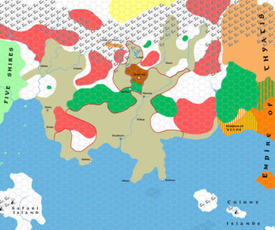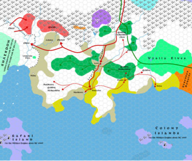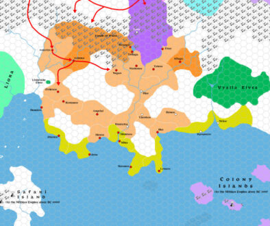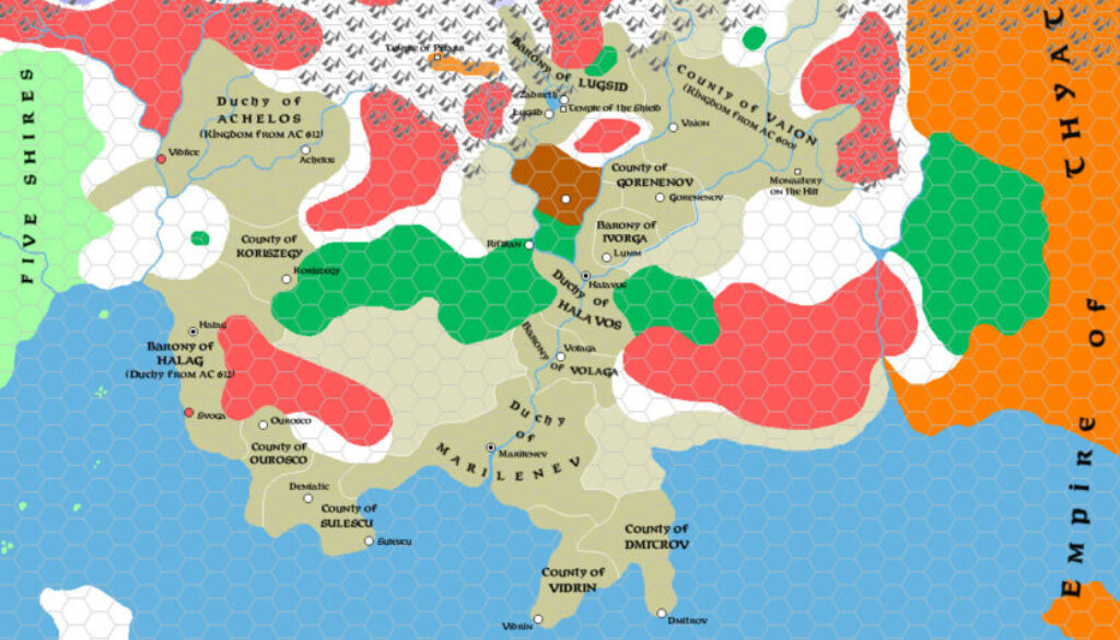
Zendrolion’s Traladara 417 to 612 AC, 8 miles per hex
The fifth map from History of Karameikos by Simone in Threshold Magazine #1 focused on the middle years of the first millennium. He called this period the Traladaran League, and it also included the Lycanthropic Plague. As he wrote in the article:
The 5th century AC saw some very important events for Traladara. Around AC 410, merchants coming from the southern isles brought to Traladara the plagues of lycanthropy and vampirism with which they had been infected in the east. This sparsely-populated region of dense woods and small villages was the ideal hideout for a werewolf or a vampire. In the following decades, many communities were terrified by these creatures and Traladara became known as the favourite haven of such horrible monsters.
From there, pressure from Darokin “prompted the formation of the Traladaran League”, and a chance for a united Traladara. However, clan rivalries prevented this from happening. Which brings us to the end point of this map.
This was the period where a lot of political names that would be familiar in modern Karameikos began to emerge, although it still had many older names whose settlements and clans would be destroyed before the modern era. This is a testament to Simone’s work knitting all of these things together.
As far as I am concerned, the major difference between other fan histories and Simone’s work is that he has tended to illustrate his with extensive maps. Given that my original main interest in Mystara, even before maps, was the timeline, it should come as no surprise that this is a winning combination for me.
Fan-made Map by Simone Neri (September 2013)
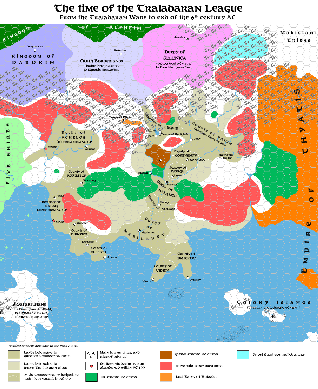
This is an original map created by one of Mystara’s excellent fan cartographers. For more information on the cartographer, including a gallery of all their maps, see also Appendix M: Mappers of Mystara.
Sources
- GAZ1 The Grand Duchy of Karameikos (1987) (PDF at DriveThruRPG)
Fan Sources
- The History of Karameikos from Threshold Magazine #1 at the Vaults of Pandius (September 2013)
- Zendrolion’s Traladara 1500 BC, 8 miles per hex (September 2013)
- Zendrolion’s Traladara 1100-992 BC, 8 miles per hex (September 2013)
- Zendrolion’s Traladara 929-480 BC, 8 miles per hex (September 2013)
References
- All of Simone’s maps at the Atlas of Mystara
- Simone’s entry in Appendix M: Mappers of Mystara (upcoming)
- Simone’s author page at the Vaults of Pandius
Chronological Analysis
This is a fan-made map. It was published in September 2013. The updated Atlas version of this map is not yet available. See also Appendix C for annual chronological snapshots of the area. For the full context of this map in Mystara’s publication history, see the upcoming Let’s Map Mystara 2013.
The following lists are from the Let’s Map Mystara project. Additions are new features, introduced in this map. Revisions are changes to previously-introduced features. Hex Art & Fonts track design elements. Finally, Textual Additions are potential features found in the related text. In most cases, the Atlas adopts these textual additions into updated and chronological maps.
Under Construction! Please check back again soon for updates.
Additions
- XXX —
Revisions
- XXX —
Hex Art & Fonts
- Hex Art —
- Fonts —