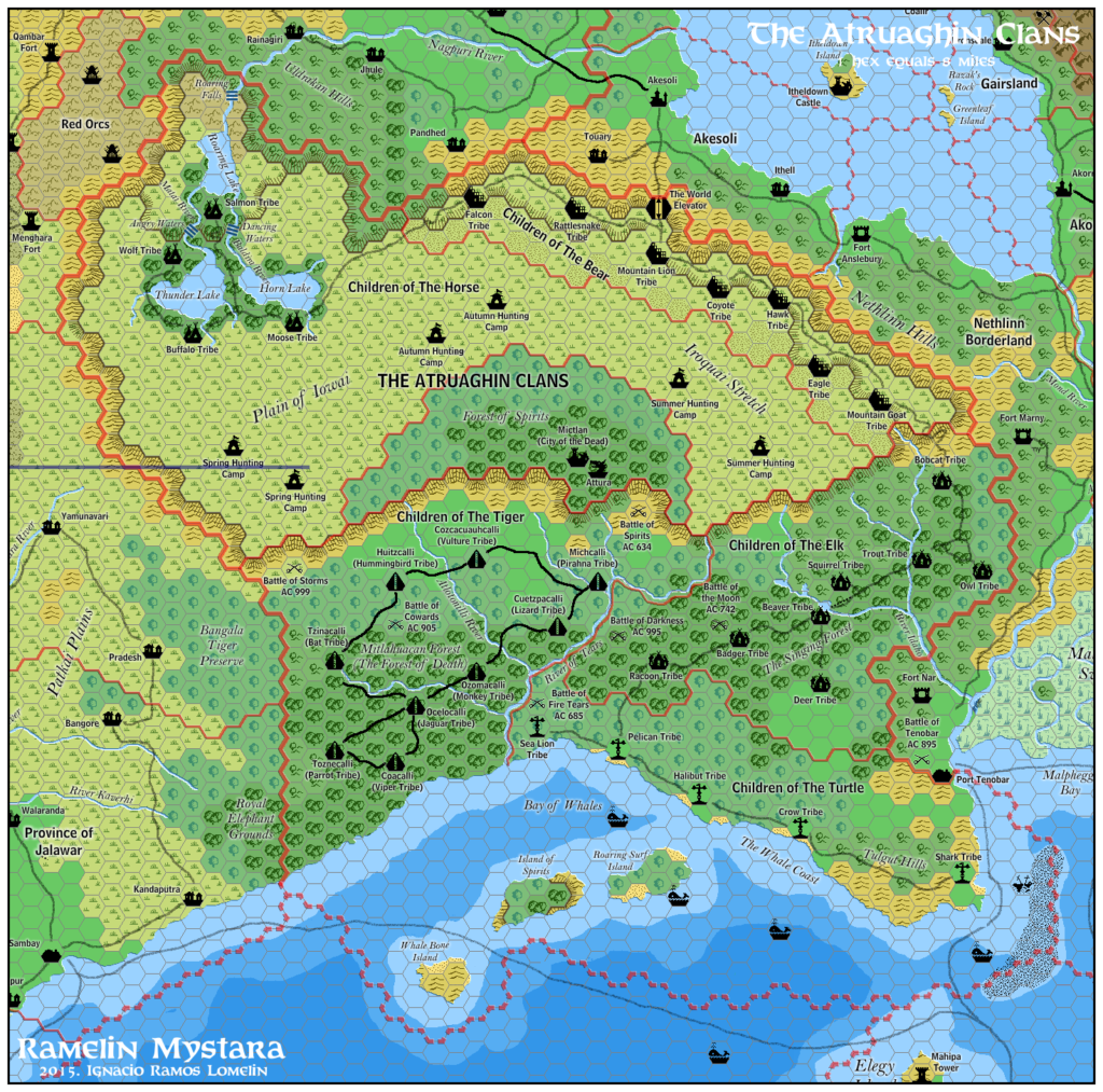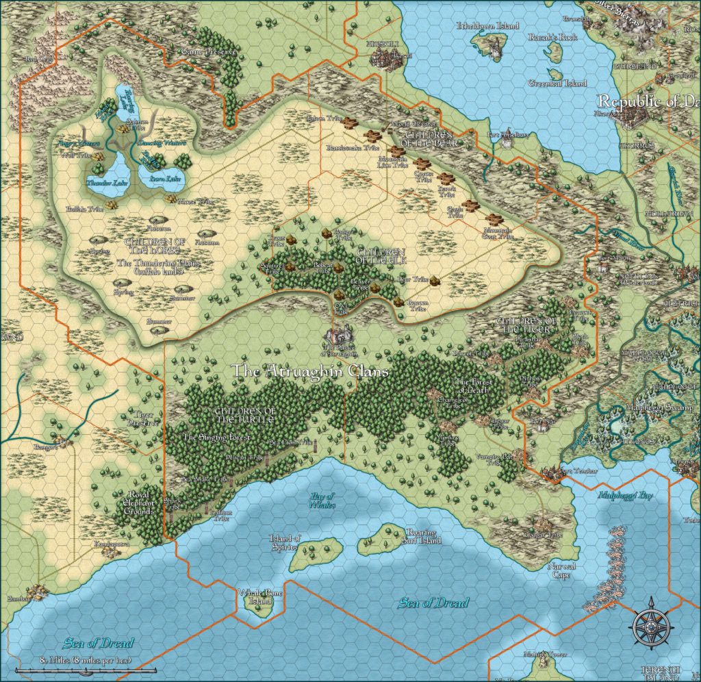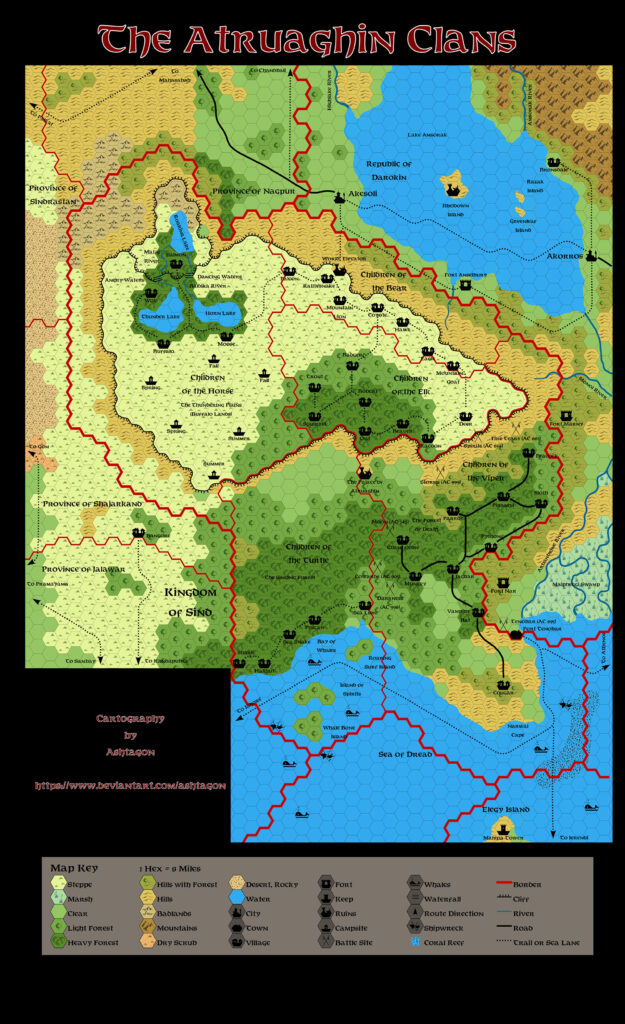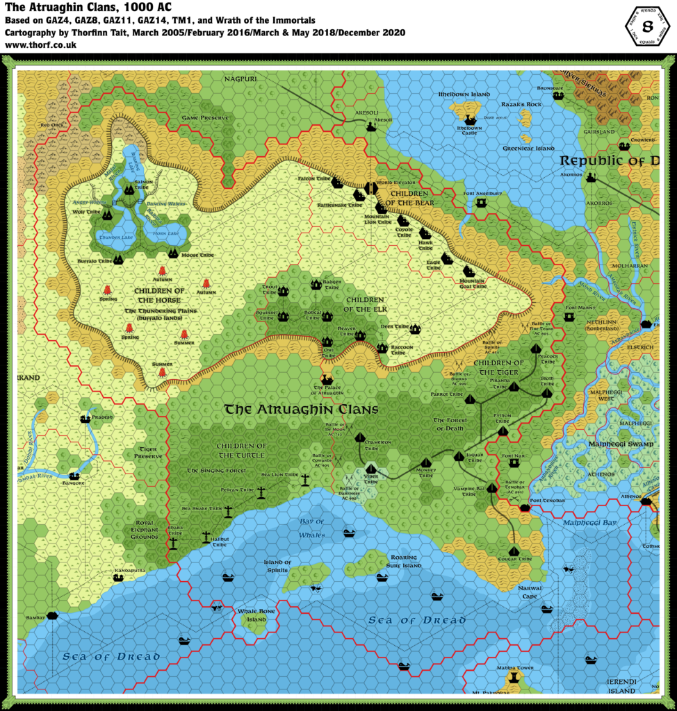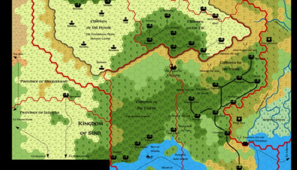
Ashtagon’s GAZ14 Atruaghin Clans, 8 miles per hex
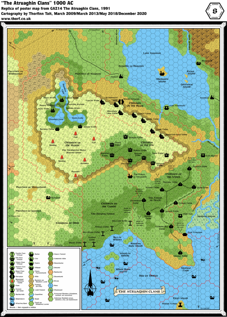
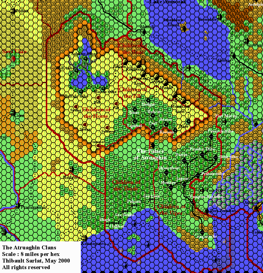
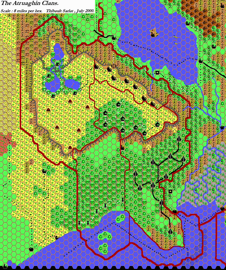
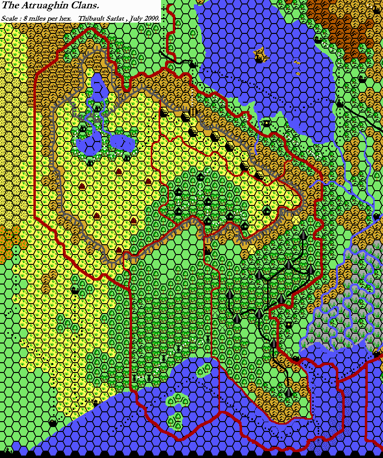
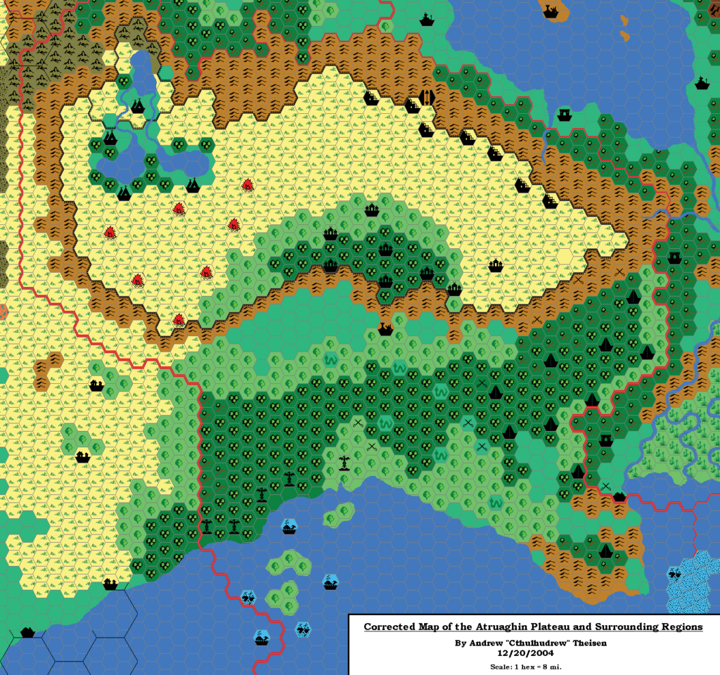
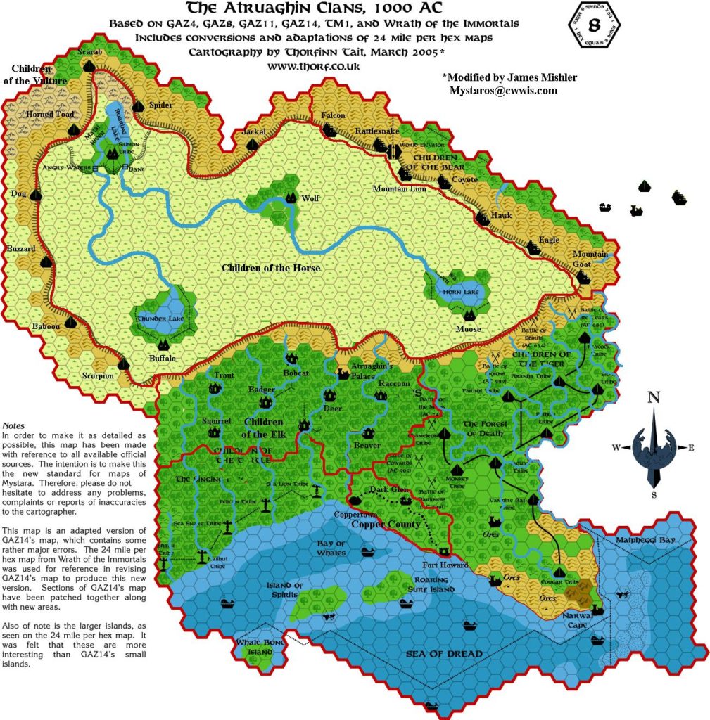
GAZ14’s map was an interesting one, because it built in a major flaw: the plateau was far too small compared with the 24 mile per hex maps. This created problems when trying to join Sind to the Known World, as a large sliver of terrain was missing. Andrew Theisen was the first to create a fixed map of Atruaghin, way back in 2004. Most successive fan maps since Andrew’s, including my own from 2005, have followed his example and included the full sized plateau.
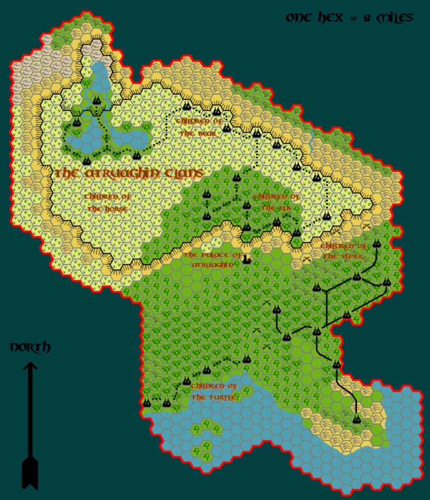
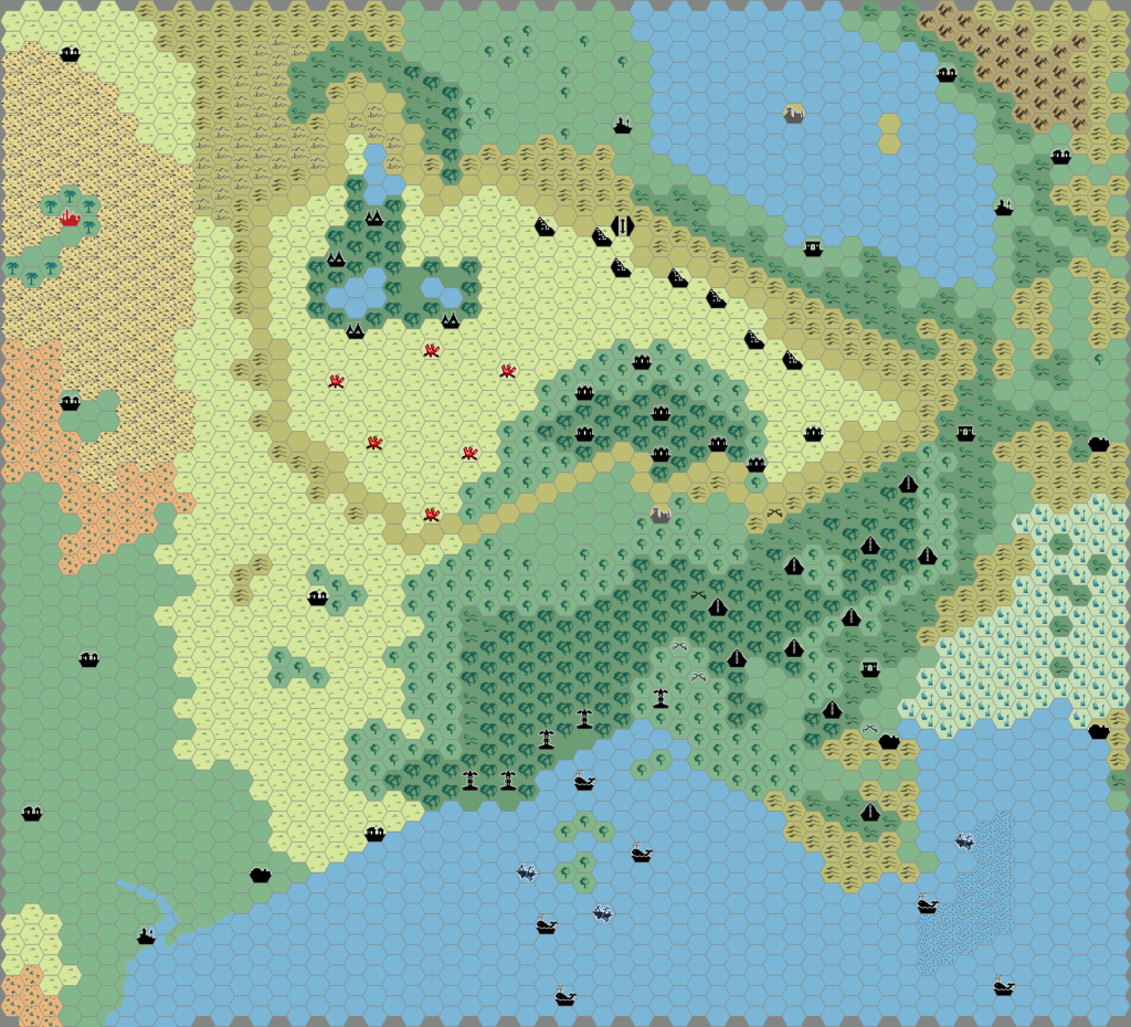
Emma chose Atruaghin for her next replica map after Ierendi. Since her maps were largely replicas, she chose to keep the original GAZ14 version of Atruaghin, even though she stated that she preferred the revised fan version. She commented in her posts at The Piazza and DeviantArt as follows:
This is a near-replica of the original GAZ14 map. I personally feel that Thorf’s revised version, which expands the country westward a bit, works better.
Changes from the original map include a modified palette colour scheme, cliff lines not following the hex boundary, and curves being added to some of the roads.
The key problem Emma faced was likely that you can’t make a fixed version of this map without inventing the missing columns of terrain from scratch — which, of course, would not be a replica at all. For the same reason, my own replica GAZ14 Atruaghin map is largely the same as Emma’s.
Regardless, a lively conversation followed Emma’s posting of the map, with Andrew chiming in, too.
Fan-made Map by Emma Rome (October 2024)
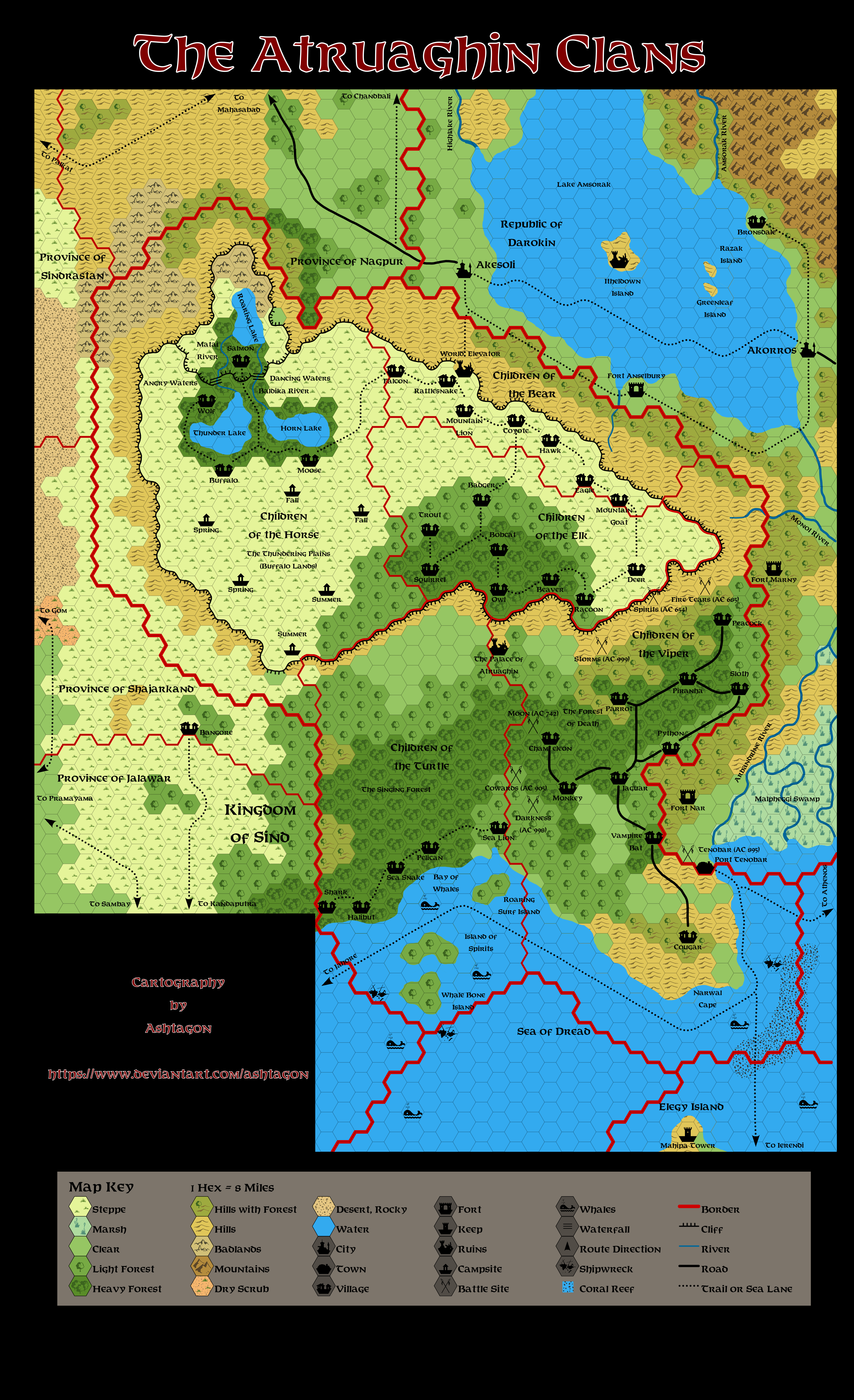
This is an original map created by one of Mystara’s excellent fan cartographers. For more information on the cartographer, including a gallery of all their maps, see also Appendix M: Mappers of Mystara.
Sources
- GAZ14 The Atruaghin Clans (1991) (PDF at DriveThruRPG)
Fan Sources
- Musings on Map Symbols discussion thread at The Piazza (February 2022)
- GAZ14: The Atruaghin Clans discussion thread at The Piazza (October 2024)
References
- All of Emma’s maps at the Atlas of Mystara
- Emma’s entry in Appendix M: Mappers of Mystara (upcoming)
- Emma’s author page at the Vaults of Pandius
Chronological Analysis
This is a fan-made map. It was published in October 2024. The updated Atlas version of this map is Atruaghin, 8 miles per hex. See also Appendix C for annual chronological snapshots of the area. For the full context of this map in Mystara’s publication history, see the upcoming Let’s Map Mystara 2024.
The following lists are from the Let’s Map Mystara project. Additions are new features, introduced in this map. Revisions are changes to previously-introduced features. Hex Art & Fonts track design elements. Finally, Textual Additions are potential features found in the related text. In most cases, the Atlas adopts these textual additions into updated and chronological maps.
Under Construction! Please check back again soon for updates.