
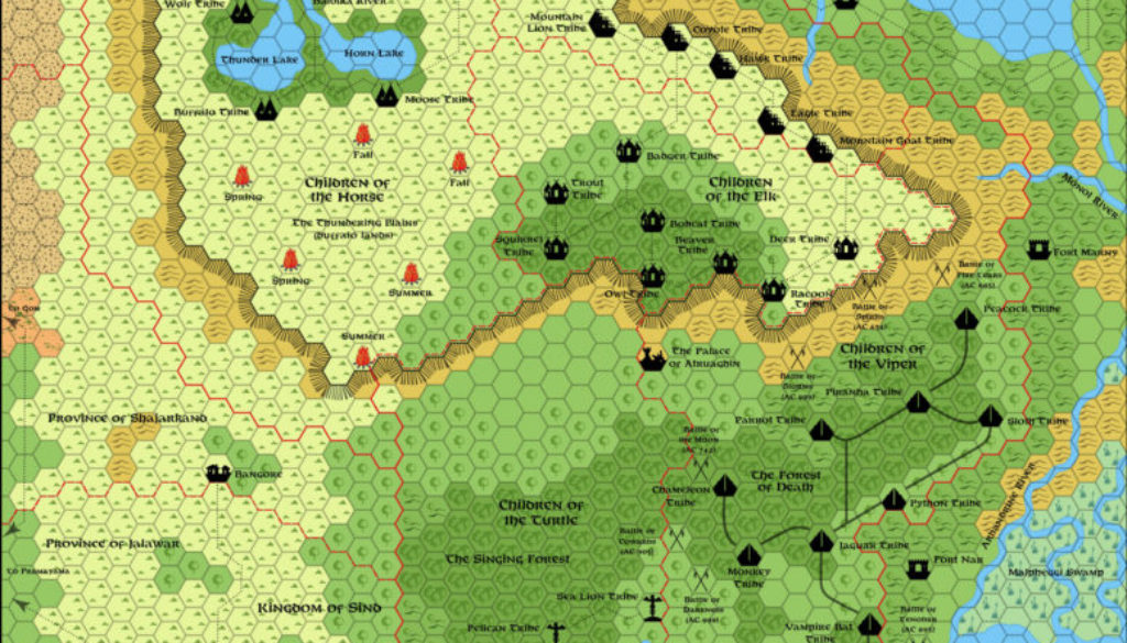
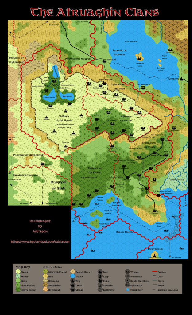
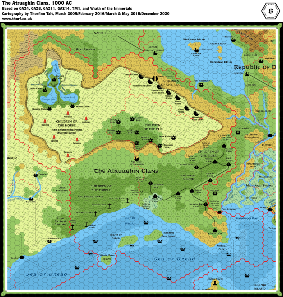
GAZ14 Atruaghin Clans, 8 miles per hex
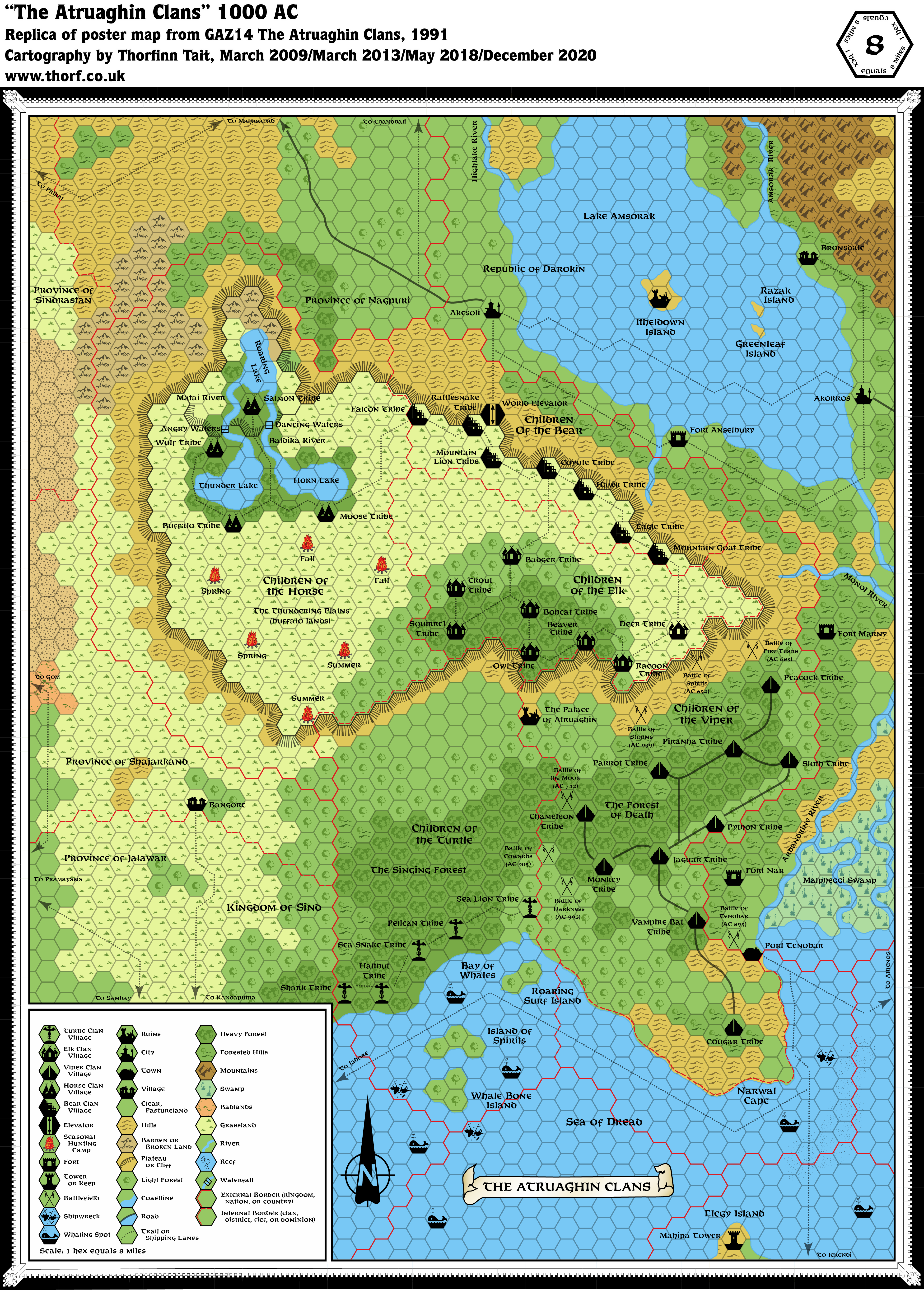
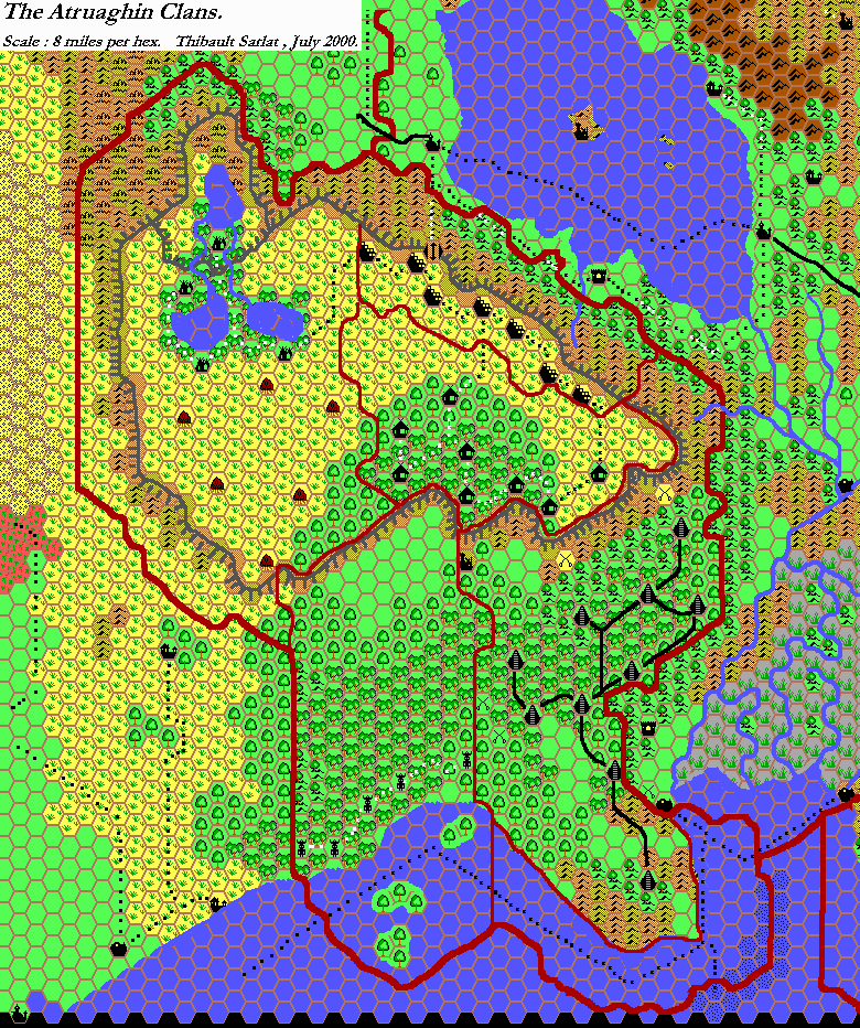
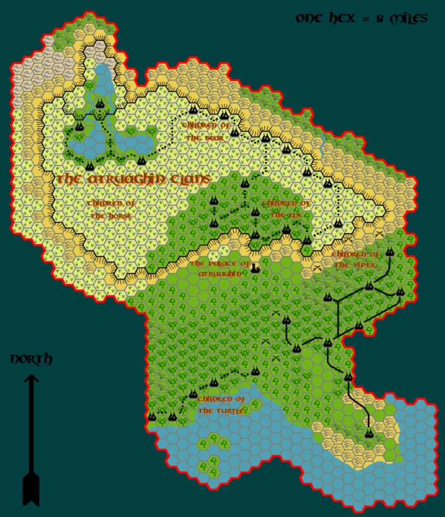
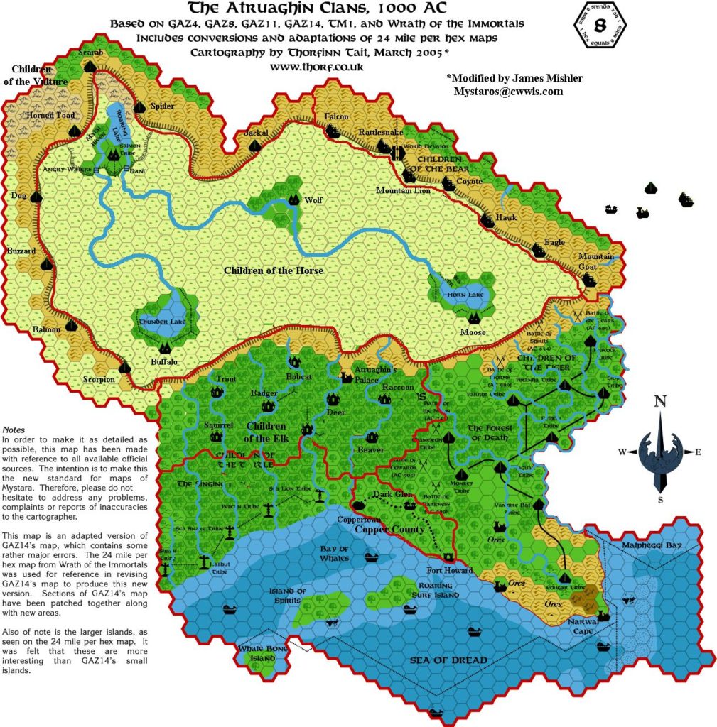
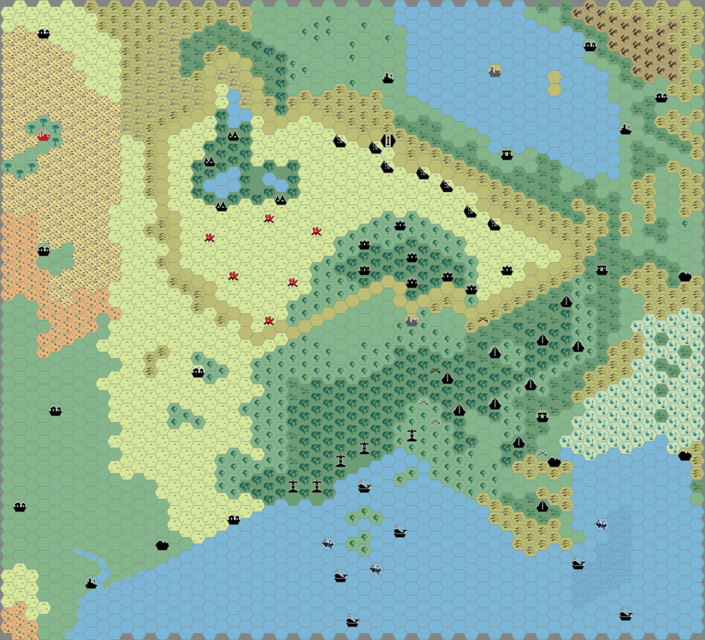
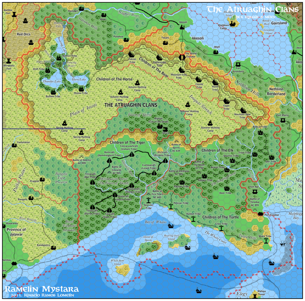
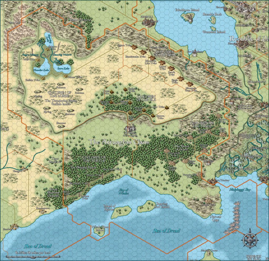
The last of the Gazetteer line, GAZ14 was also the last supplement to provide a new look at an area of Mystara’s Outer World at the familiar 8 miles per hex scale. Unfortunately there was a major error in the size of the plateau, which had five or six columns of hexes deleted from its mid-section. And since the plateau is the defining feature of the whole area, this is a real shame.
Replica Map (December 2020)
Sources
- GAZ14 The Atruaghin Clans (1991) (PDF at DriveThruRPG)
- Poster map (Cartography by Dennis Kauth)
Chronological Analysis
This is Map 173. It was published in September 1991. The updated version of this map is Atruaghin, 8 miles per hex. See also Appendix C for annual chronological snapshots of the area. For the full context of this map in Mystara’s publication history, see the upcoming Let’s Map Mystara 1991.
The following lists are from the Let’s Map Mystara project. Additions are new features, introduced in this map. Revisions are changes to previously-introduced features. Hex Art & Fonts track design elements. Finally, Textual Additions are potential features found in the related text. In most cases, the Atlas adopts these textual additions into updated and chronological maps.
Under Construction! Please check back again soon for updates.

29 December 2020 @ 9:22 pm
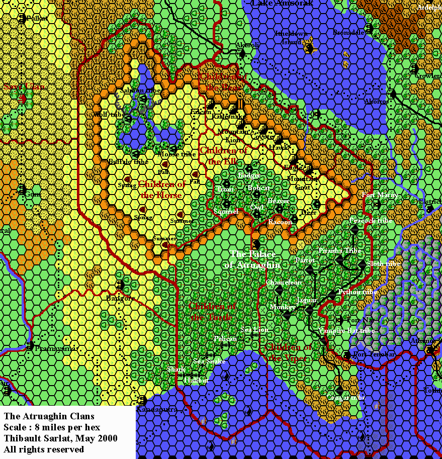
Hello. I was wondering if an attempt has been made to issue an unofficial map of the plateau with all the omitted columns re-asserted? I imagine the curiosity to do so is very strong. Thank you.
29 December 2020 @ 9:25 pm
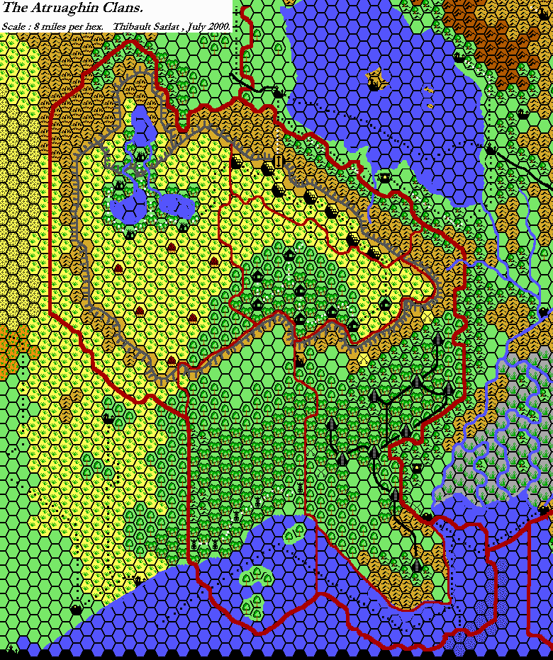
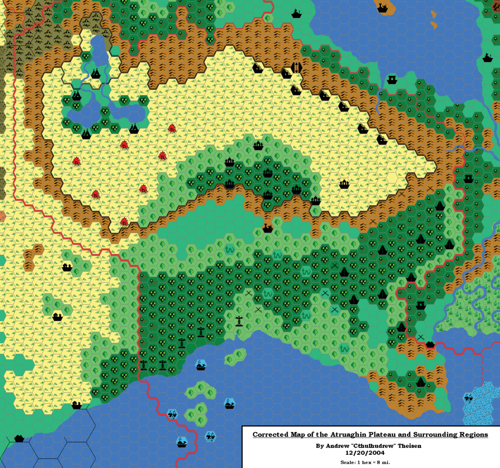
Yes indeed! And I wasn’t even the first to do so. Andrew Theisen and Thibault Sarlat both did their own versions.
You can see mine here: Atruaghin, 8 miles per hex.