Chimpman’s Known World 1700 BC, 8 miles per hex v2
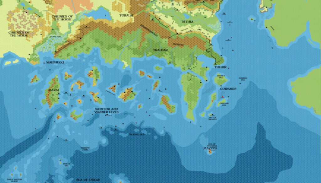
Having shared a 1750 BC map of the Known World in early September 2011, towards the end of the month John then added a 1700 BC map to the series. As with the 1750 BC map, the original version of this map is lost to us. But it’s clear that it already covered the basic concepts of the era: the little Rain of Fire, or the calamity of 1700 BC, and its effects on the Broken Lands as well as the surrounding lands.
The map below is the earliest remaining copy, a second version dating to January 2012. John explained the content of the update at The Piazza:
Updated this map as well. I’ve expanded the disaster area from its original state. One thing I started thinking about was the terrain in the Broken Lands themselves. There is actually some geological activity that goes on in that area after the BC 1700 blast (the Oenkmar volcano circa BC 500), so I’m wondering if the terrain should change between BC 1700, BC 500, and the modern era?
From this, we can deduce that the first version of the map had a less drastic area of desolation around the Broken Lands.
John would return to this series for an update some years later.
Fan-made Map by John Calvin (January 2012)
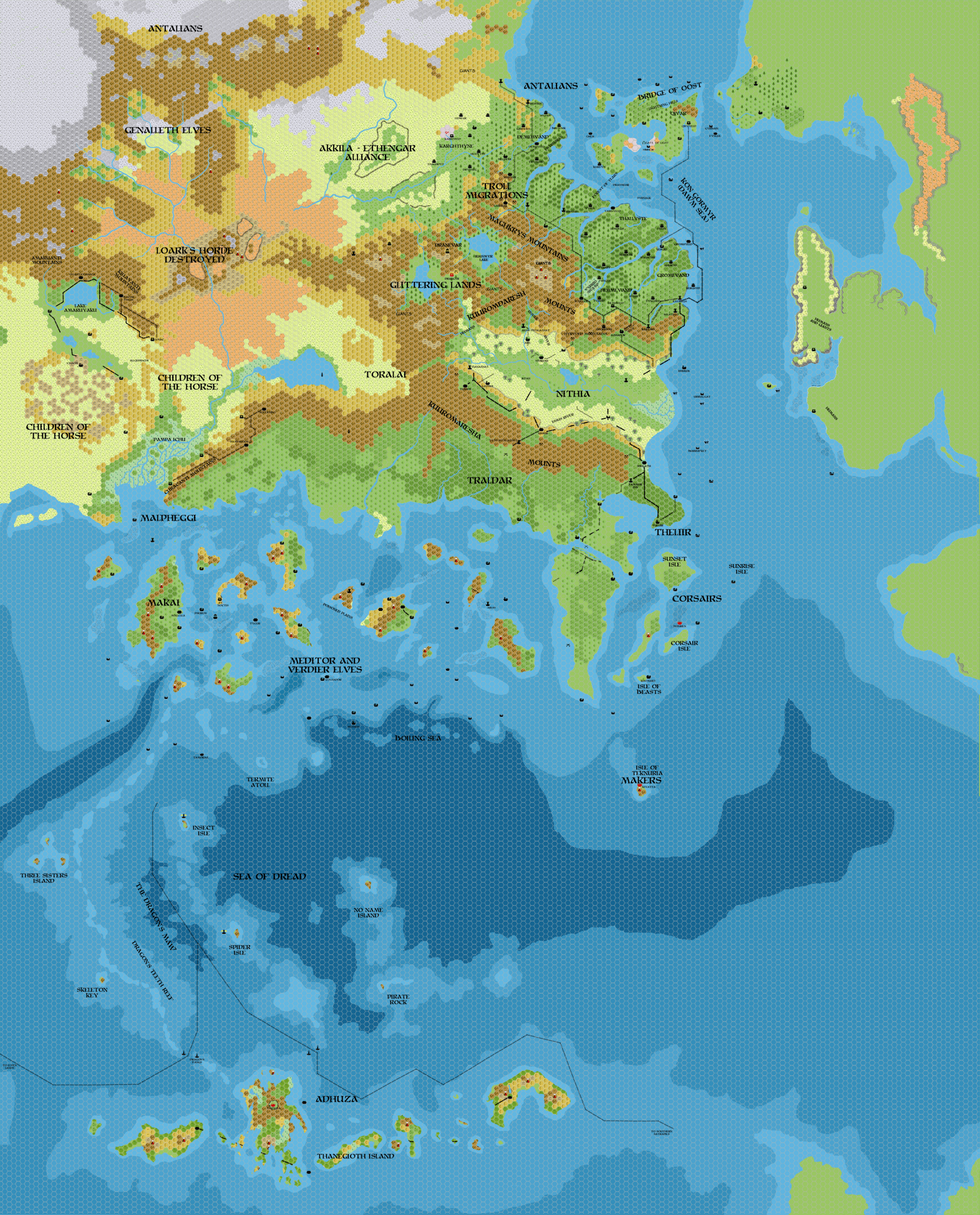
This is an original map created by one of Mystara’s excellent fan cartographers. For more information on the cartographer, including a gallery of all their maps, see also Appendix M: Mappers of Mystara.
Sources
Fan Sources
- Historical: Known World BC 1700, 8mph discussion thread at The Piazza (September 2011)
- Chimpman’s Known World 1750 BC, 8 miles per hex v2 (January 2012)
References
- All of John’s maps at the Atlas of Mystara
- John’s entry in Appendix M: Mappers of Mystara (upcoming)
- John’s author page at the Vaults of Pandius
Chronological Analysis
This is a fan-made map. It was published in January 2012. The updated Atlas version of this map is not yet available. See also Appendix C for annual chronological snapshots of the area. For the full context of this map in Mystara’s publication history, see the upcoming Let’s Map Mystara 2012.
The following lists are from the Let’s Map Mystara project. Additions are new features, introduced in this map. Revisions are changes to previously-introduced features. Hex Art & Fonts track design elements. Finally, Textual Additions are potential features found in the related text. In most cases, the Atlas adopts these textual additions into updated and chronological maps.
Under Construction! Please check back again soon for updates.