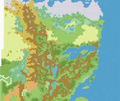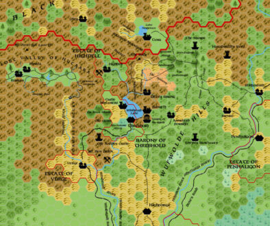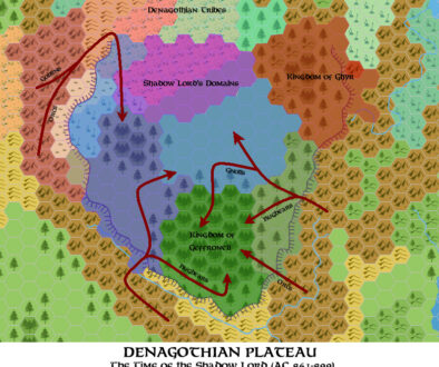
Chimpman’s Mystara 2300 BC
With all the work he had done on his Mystara 2300 BC projects, it was only a matter of time before John created a new world map for the time period. After basing the first draft of his Dwarven Migrations map on a 1000 AC world map, he decided to take the plunge and make a new map in August 2012. He explained the concept in a post at The Piazza:
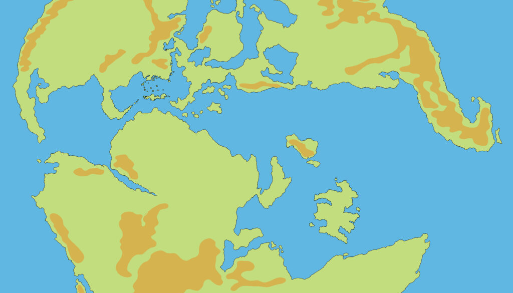
I’ve taken the World map for AC 1000 and modified it for BC 2300. In general the water levels on the planet are slightly lower than in the modern era.
The main feature was land bridges connecting up the various islands between the continents. In fact, it would have been possible to walk from Brun to Skothar, traversing land the whole way. He went into a few more details on the changes to the map:
- Filled in the Dhiki Namazzi with land (per CoM)
- I’ve incorporated most of the land bridges from Old Dawg’s historical map of after the GRoF.
- I’ve added the island continent of Lhomarr.
- Added several other land bridges – Cestia to Davania, Bellisaria to Skothar, Northern Skothar
This was a seminal moment for the project, and I don’t think it would be an exaggeration to say that the subtle elegance of the design went on to become iconic for the project.
Fan-made Map by John Calvin (August 2012)
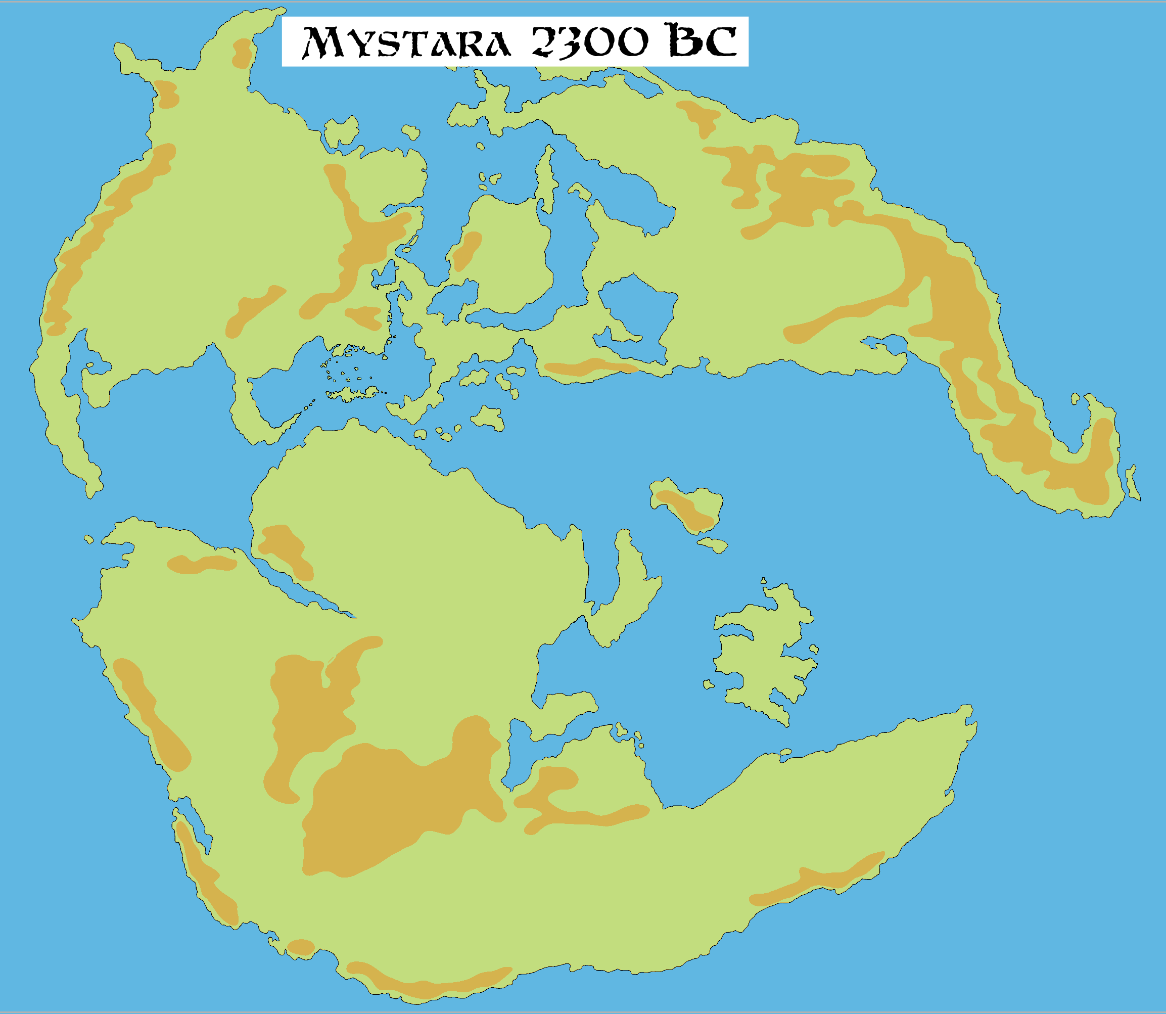
This is an original map created by one of Mystara’s excellent fan cartographers. For more information on the cartographer, including a gallery of all their maps, see also Appendix M: Mappers of Mystara.
Sources
- Champions of Mystara (1993) (PDF at DriveThruRPG)
Fan Sources
- JTR’s World Before the Rain (March 2006)
- Geoff’s Lhomarr (May 2011)
- Outer World: World Map 2300 BC, non hex discussion thread at The Piazza (August 2012)
References
- All of John’s maps at the Atlas of Mystara
- John’s entry in Appendix M: Mappers of Mystara (upcoming)
- John’s author page at the Vaults of Pandius
Chronological Analysis
This is a fan-made map. It was published in August 2012. The updated Atlas version of this map is not yet available. See also Appendix C for annual chronological snapshots of the area. For the full context of this map in Mystara’s publication history, see the upcoming Let’s Map Mystara 2012.
The following lists are from the Let’s Map Mystara project. Additions are new features, introduced in this map. Revisions are changes to previously-introduced features. Hex Art & Fonts track design elements. Finally, Textual Additions are potential features found in the related text. In most cases, the Atlas adopts these textual additions into updated and chronological maps.
Under Construction! Please check back again soon for updates.