Zendrolion’s Caerdania, 8 miles per hex Geographic
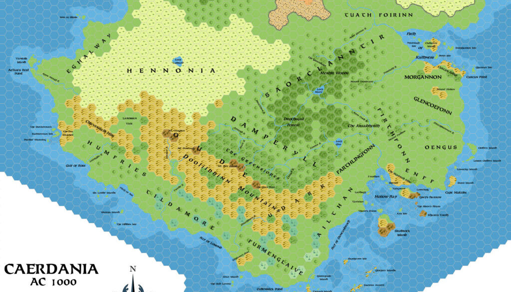
In April 2008, Simone posted an in-progress gazetteer of the southern tip of the Isle of Dawn — complete with two maps of the area, which he named Caerdania. He explained in his post to the MMB:
Caerdania is the area that includes the southernmost tip of the Isle of Dawn, south and east of Hennonia. The region, today, is better known for hosting the County of Furmenglaive and the Barony of Caerdwicca, two important dominions of the Thyatian Empire, but in older times it has been the seat of an independent kingdom and its culture has peculiar traits in respect of other peoples of the Isle of Dawn. Today Caerdania is famous as a lonely and sparsely-inhabited region, for its quarrelsome clans – proud warriors and skilled seafarers and pirates – and for its dark past of evil presences that have left a lasting mark on its history.
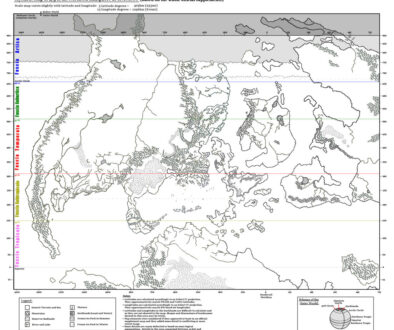
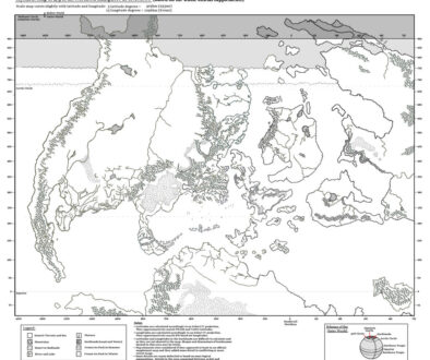
This was the geographic version of the two maps. Simone had already established this split into a pair of maps, one with terrain labels, the other with political labels in his Norwold maps, so it was a familiar concept by this point.
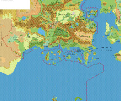
He explained that the northern sections of the map were deliberately left mostly undeveloped, as he had focused on the southern areas. For those, he drew references from Andrew Theisen’s map of Caerdwicca and the Eastern Shadow Coast, as well as works from the Italian MMB.
Fan-made Map by Simone Neri (April 2008)
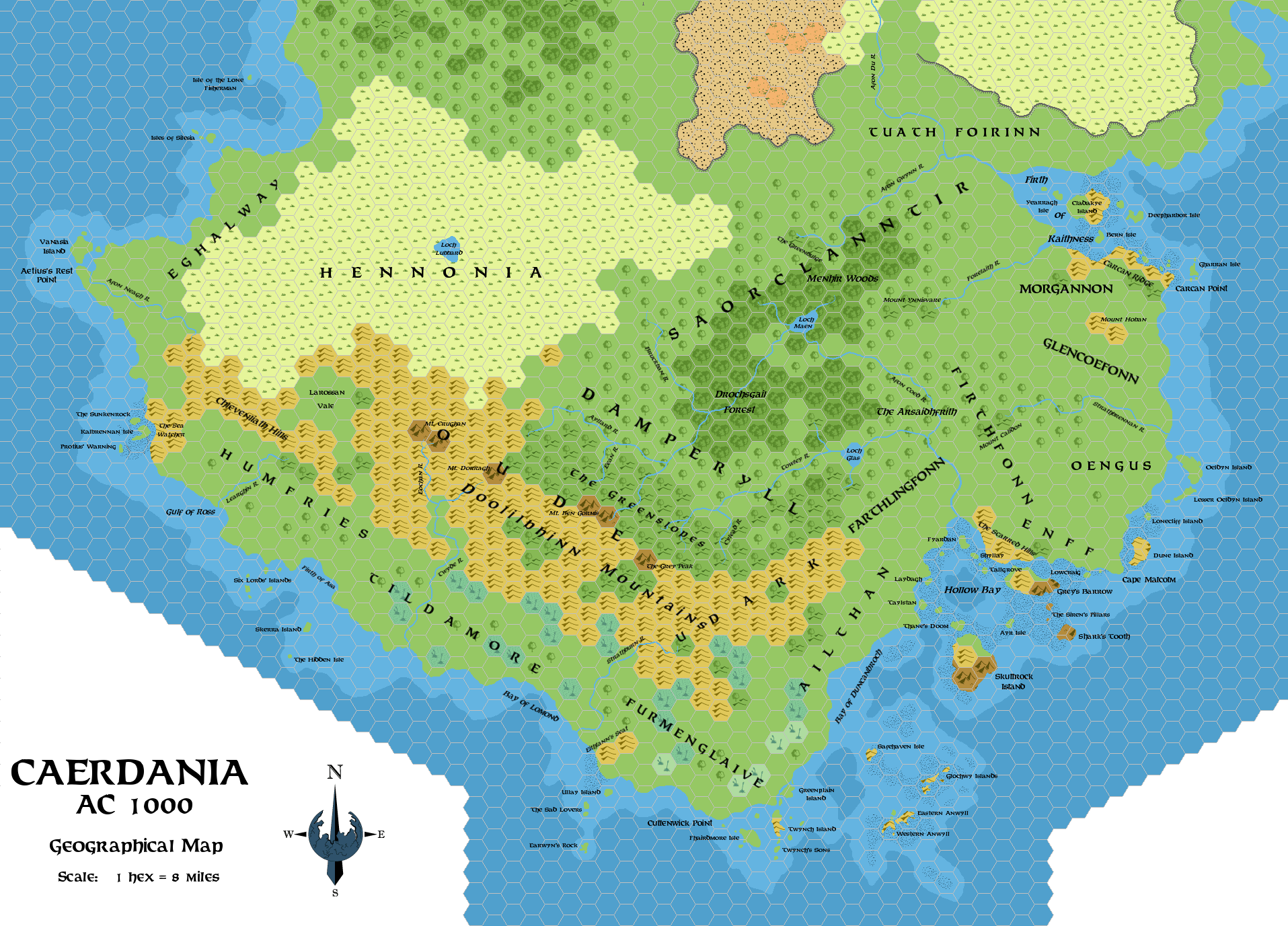
This is an original map created by one of Mystara’s excellent fan cartographers. For more information on the cartographer, including a gallery of all their maps, see also Appendix M: Mappers of Mystara.
Sources
Fan Sources
- Cthulhudrew’s Caerdwicca, 8 miles per hex (August 2000)
Cthulhudrew’s Eastern Shadow Coast, 8 miles per hex (August 2000)
References
- All of Simone’s maps at the Atlas of Mystara
- Simone’s entry in Appendix M: Mappers of Mystara (upcoming)
- Simone’s author page at the Vaults of Pandius
Chronological Analysis
This is a fan-made map. It was published in April 2008. The updated Atlas version of this map is not yet available. See also Appendix C for annual chronological snapshots of the area. For the full context of this map in Mystara’s publication history, see the upcoming Let’s Map Mystara 2008.
The following lists are from the Let’s Map Mystara project. Additions are new features, introduced in this map. Revisions are changes to previously-introduced features. Hex Art & Fonts track design elements. Finally, Textual Additions are potential features found in the related text. In most cases, the Atlas adopts these textual additions into updated and chronological maps.
Under Construction! Please check back again soon for updates.
Additions
- XXX —
Revisions
- XXX —
Hex Art & Fonts
- Hex Art —
- Fonts —