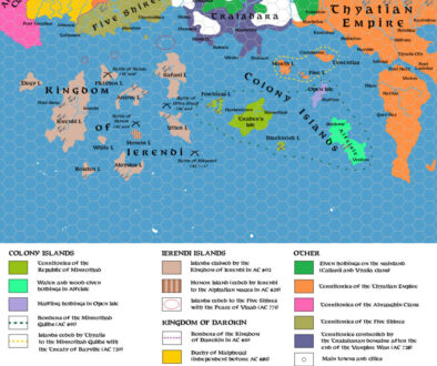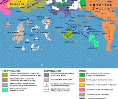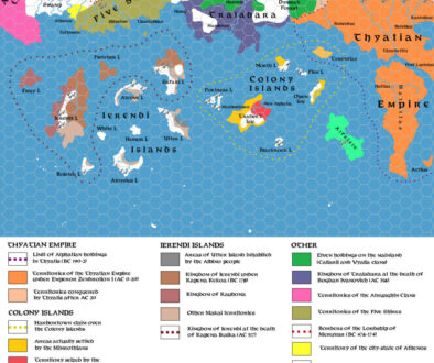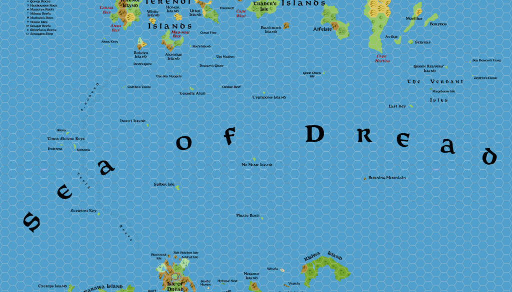
Zendrolion’s Sea of Dread, 24 miles per hex
Simone was an eager contributor to the early issues of Threshold Magazine. The peak of this was issue #3, to which he contributed three whole articles, featuring no less than five distinct maps. In addition to his Ierendi and Minrothad demographic maps and the first two maps illustrating those islands’ history, he also produced a map that fit perfectly with the issue’s theme: the Sea of Dread. He used this in his Minor Islands of the Sea of Dread article, which had the following wonderful introduction:
Whatever the origins of its name, the Sea of Dread is filled with a vast number of large, small, and tiny islands. The educated common man only knows the largest or more important islands and archipelagos – the Ierendi and Minrothad chains, the great island of Hattias and the Thyatian islands east of its, the faraway and savage Thanegioth Archipelago. Only a few people, apart from most experienced seamen, will be able to name even one of the minor islands, but neither they could keep count of all the lonely atolls, keys, and islets scattered through the sea.
Well, if you are not an ever-travelling seawolf, and more akin to watch the sea through the window of your home, or through the pages of a book, then follow us and we will bring you in a short tour of the smaller islands of the Sea of Dread.
Unfurl the topsails!
This is a classic Simone map, concentrating on the physical geography of the area, along with its toponyms. As usual, he brought together numerous sources to provide names for almost every island on the map — including all of the tiny little isles, the smallest of which received numbered key entries (on the Shire Coast as well as south of the Isle of Dread).
He also included a nice innovation: bays marked in a different colour, with all of the named bays around the Known World’s southern coast given their names where they exist.
Fan-made Map by Simone Neri (March 2014)
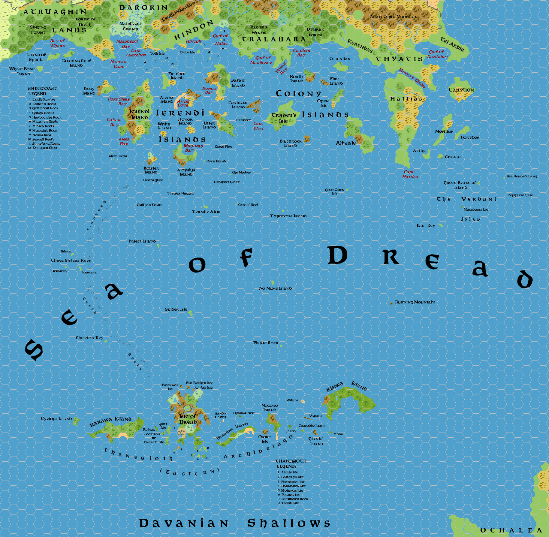
This is an original map created by one of Mystara’s excellent fan cartographers. For more information on the cartographer, including a gallery of all their maps, see also Appendix M: Mappers of Mystara.
Sources
- GAZ4 The Kingdom of Ierendi (1987) (PDF at DriveThruRPG)
- And many more…
Fan Sources
- The Minor Islands of the Sea of Dread from Threshold Magazine #3 (March 2014)
References
- All of Simone’s maps at the Atlas of Mystara
- Simone’s entry in Appendix M: Mappers of Mystara (upcoming)
- Simone’s author page at the Vaults of Pandius
Chronological Analysis
This is a fan-made map. It was published in March 2014. The updated Atlas version of this map is not yet available. See also Appendix C for annual chronological snapshots of the area. For the full context of this map in Mystara’s publication history, see the upcoming Let’s Map Mystara 2014.
The following lists are from the Let’s Map Mystara project. Additions are new features, introduced in this map. Revisions are changes to previously-introduced features. Hex Art & Fonts track design elements. Finally, Textual Additions are potential features found in the related text. In most cases, the Atlas adopts these textual additions into updated and chronological maps.
Under Construction! Please check back again soon for updates.
Additions
- XXX —
Revisions
- XXX —
Hex Art & Fonts
- Hex Art —
- Fonts —