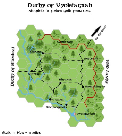
Zendrolion’s Vyolstagrad, 8 miles per hex
On the Italian MMB, Simone posted a series of threads for his Demografia Mystarana project. Norwold was his 22nd such thread, and he made his first post in March 2006 with his blank Norwold 1.3 map. From there, he and the other members of the forum began to work through adding political boundaries, settlements, dominions, and so on.
This map was part of that process. Simone shared it about two weeks into the thread, in April 2006. He commented (with apologies for the rough translation from the original Italian; any mistakes are mine):
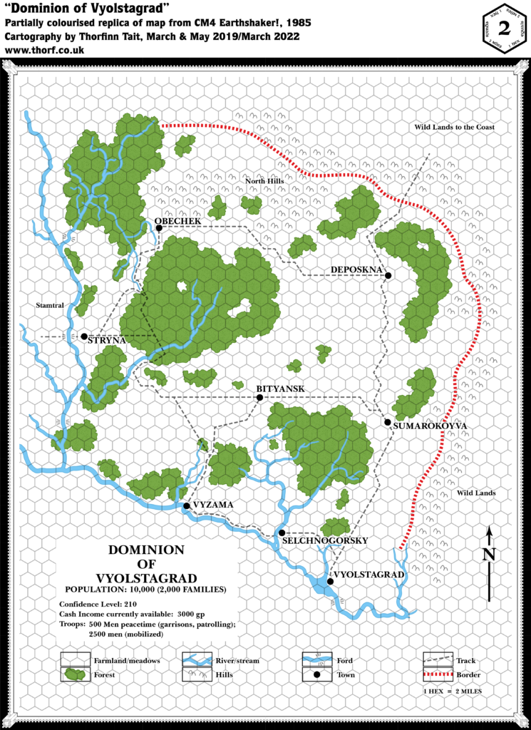
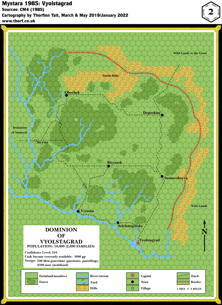
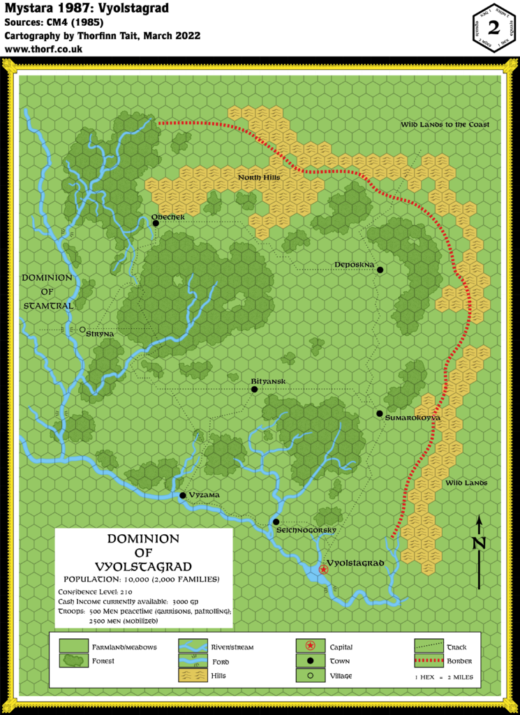
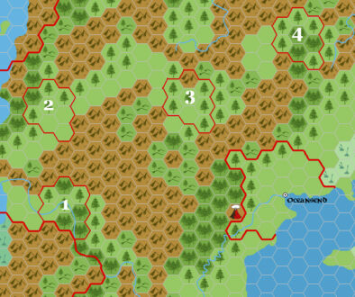
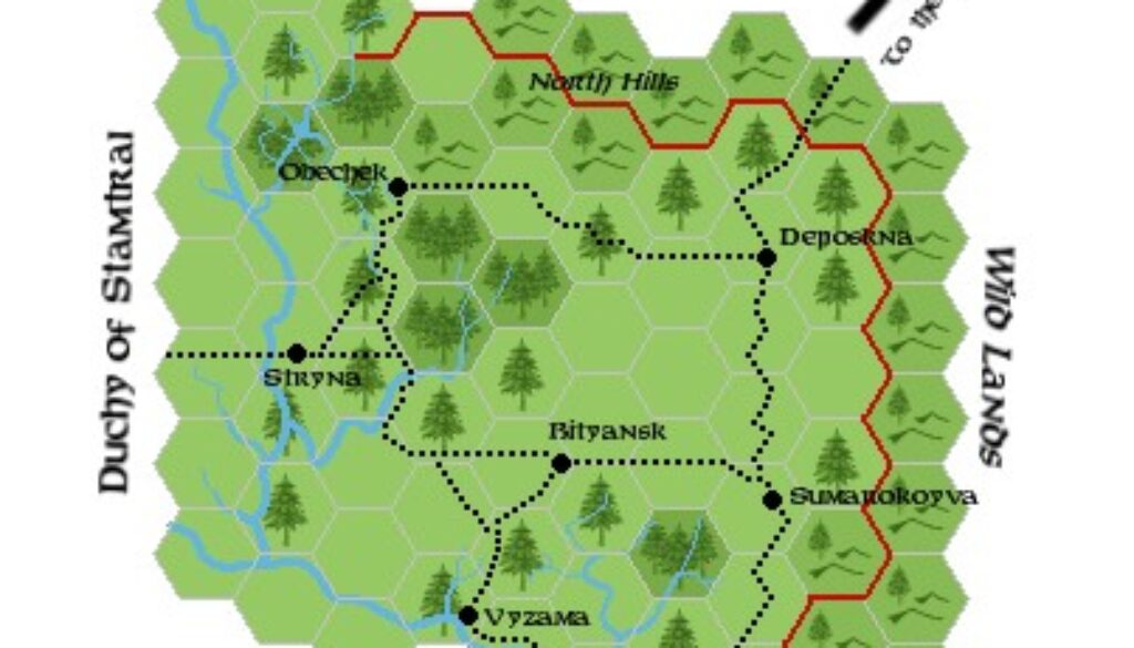
I have reproduced the CM4 map at a scale of 1 hex = 8 miles (the unmarked borders correspond to the course of the main rivers).
The real problem with Vyolstagrad, however, is its positioning.
He went on to outline the known facts before proposing four possible locations — along with another map, which belongs in its own post.
As far as this map goes, it was likely the first time that anyone in the community made a conversion of Vyolstagrad to this scale. As usual for Simone, the conversion was excellent, resulting in an attractive map that accurately depicted the original designs from CM4 in the more familiar 8 mile per hex scale.
Fan-made Maps by Simone Neri (April 2006)
This is an original map created by one of Mystara’s excellent fan cartographers. For more information on the cartographer, including a gallery of all their maps, see also Appendix M: Mappers of Mystara.
Sources
- CM4 Earthshaker! (1985) (PDF at DriveThruRPG)
Fan Sources
References
- All of Simone’s maps at the Atlas of Mystara
- Simone’s entry in Appendix M: Mappers of Mystara (upcoming)
- Simone’s author page at the Vaults of Pandius
Chronological Analysis
This is a fan-made map. It was published in April 2006. The updated Atlas version of this map is not yet available. See also Appendix C for annual chronological snapshots of the area. For the full context of this map in Mystara’s publication history, see the upcoming Let’s Map Mystara 2006.
The following lists are from the Let’s Map Mystara project. Additions are new features, introduced in this map. Revisions are changes to previously-introduced features. Hex Art & Fonts track design elements. Finally, Textual Additions are potential features found in the related text. In most cases, the Atlas adopts these textual additions into updated and chronological maps.
Under Construction! Please check back again soon for updates.
Additions
- XXX —
Revisions
- XXX —
Hex Art & Fonts
- Hex Art —
- Fonts —