")
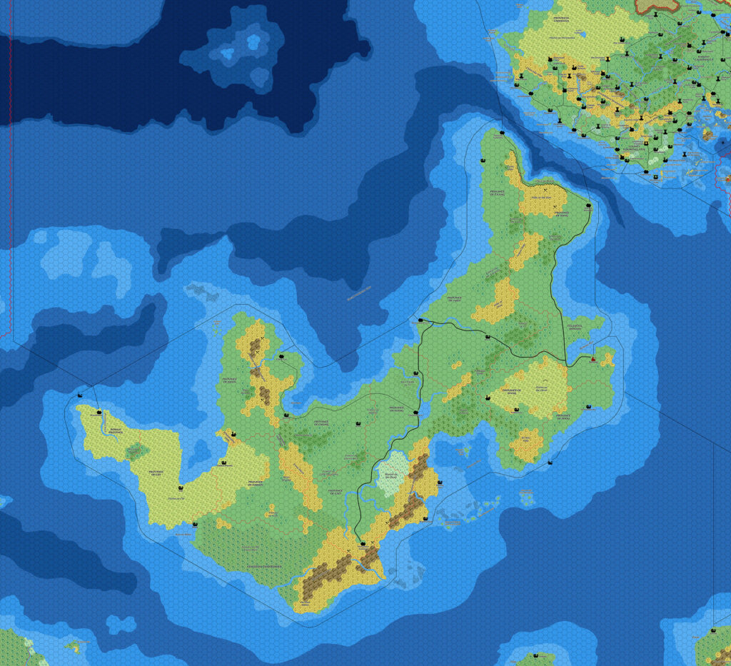
Ramelin’s Ochalea, 8 miles per hex v2
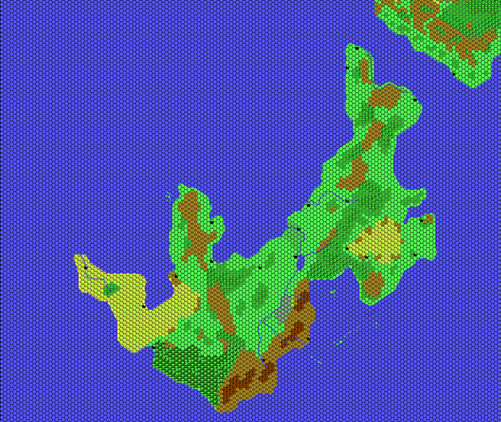
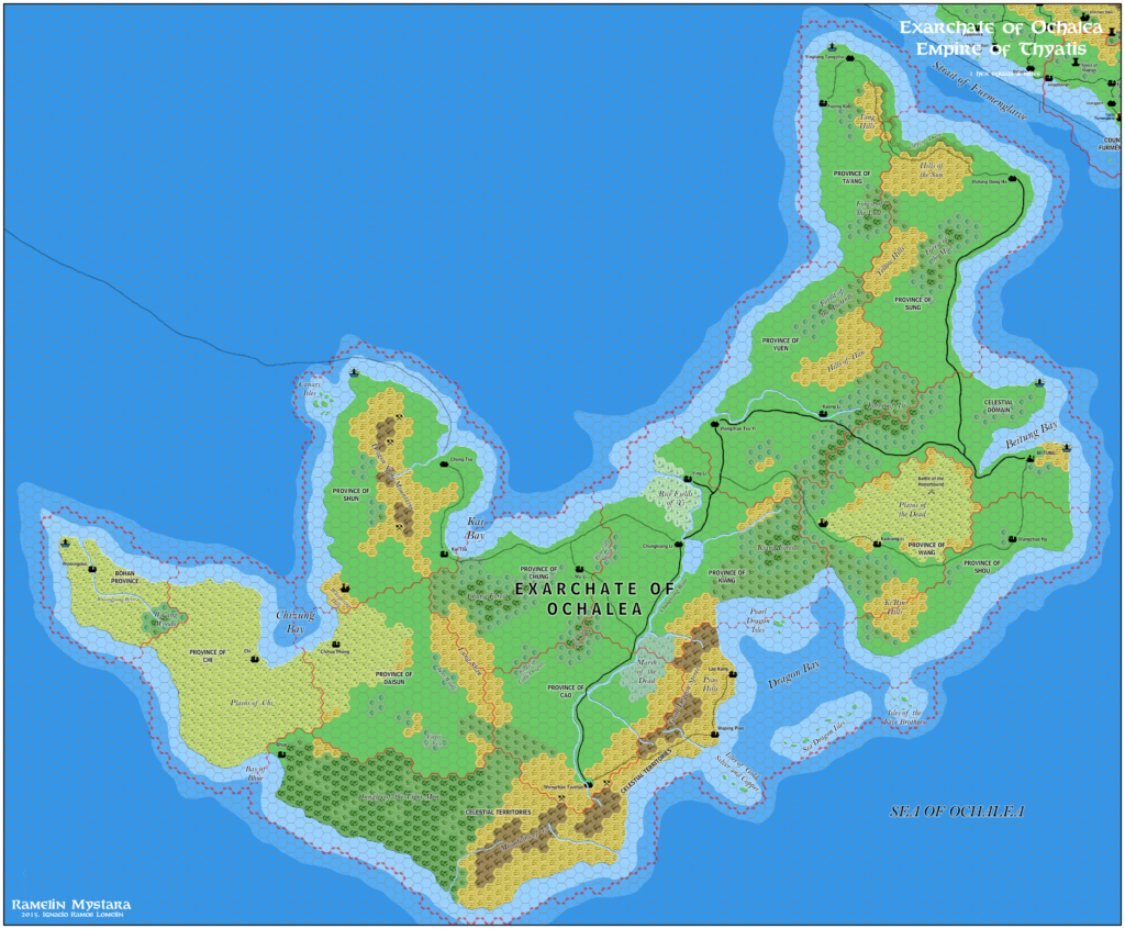
Two years from his first take at Ochalea, Jose produced a second version. In many ways it was a complete redraw, implementing small updates throughout the island nation. He only added a few whaling symbols — everything else was already present — but he rebuilt it all from the ground up, adding definition to the coastlines, changing the courses of the rivers and giving them new bends and tributaries, and generally making the whole thing match Ramelin Mystara’s style.
Without any new settlements, it still felt a little emptier than most Ramelin maps. But regardless this was a great update, leaving us with a vastly improved map. In fact, I would hold this up as a prime example of how much can be done to improve a map without resorting to adding more settlements.
Fan-made Map by Jose Ignacio Ramos Lomelin (November 2017)
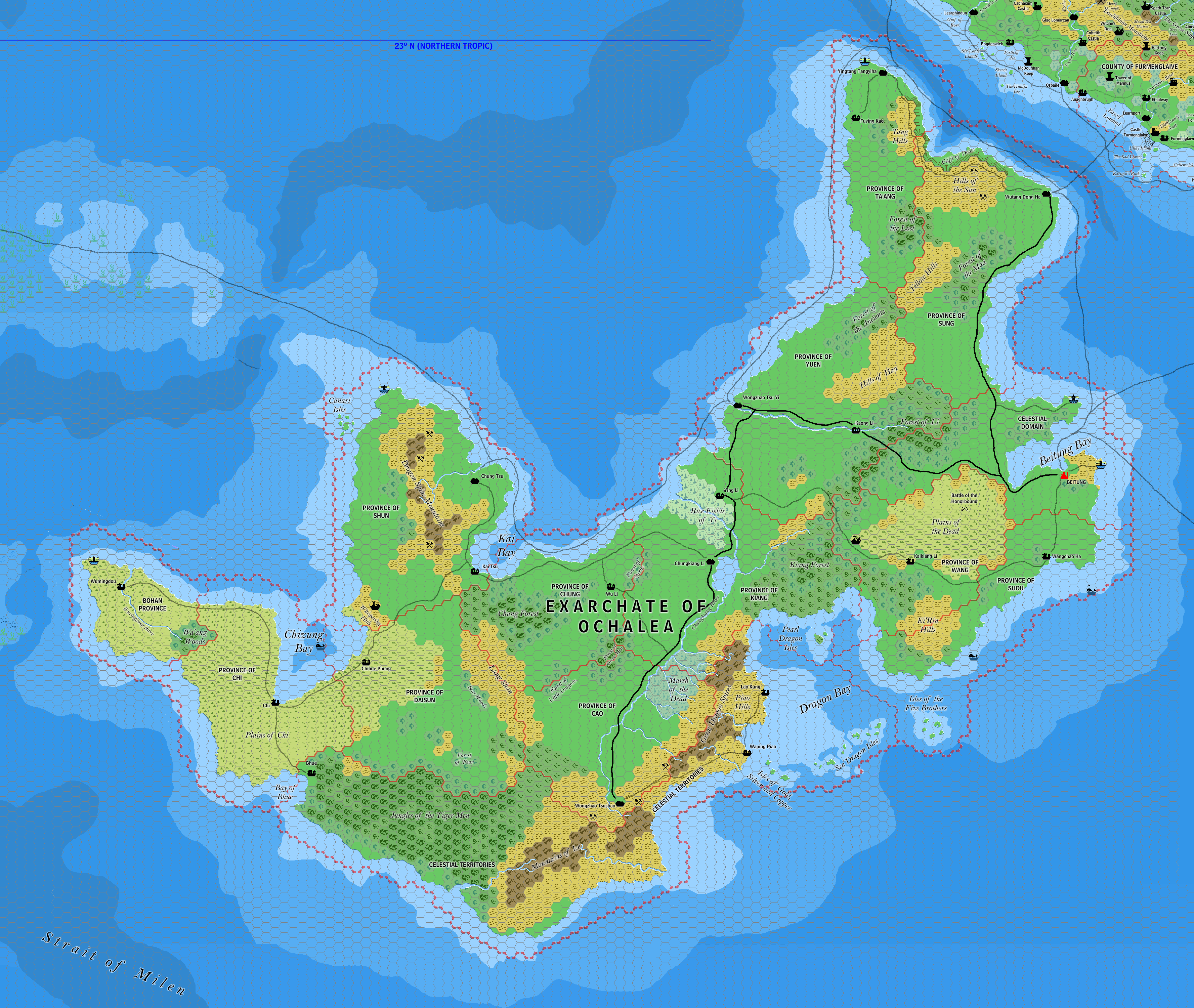
This is an original map created by one of Mystara’s excellent fan cartographers. For more information on the cartographer, including a gallery of all their maps, see also Appendix M: Mappers of Mystara.
Sources
- Dawn of the Emperors (1989) (PDF at DriveThruRPG)
Fan Sources
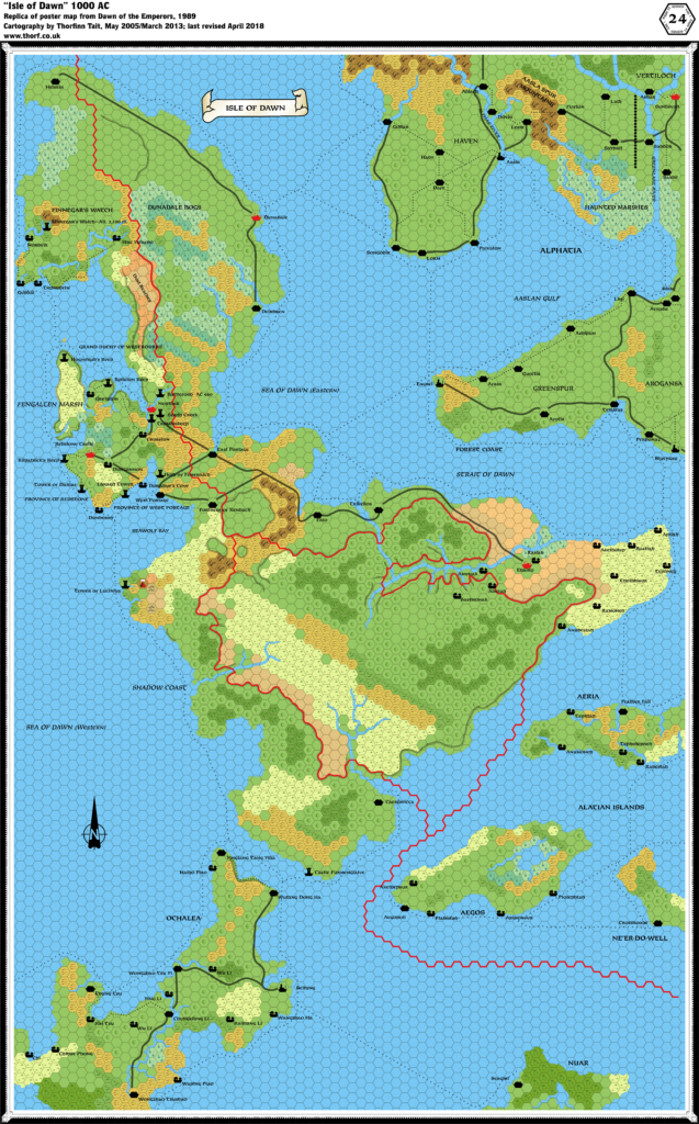
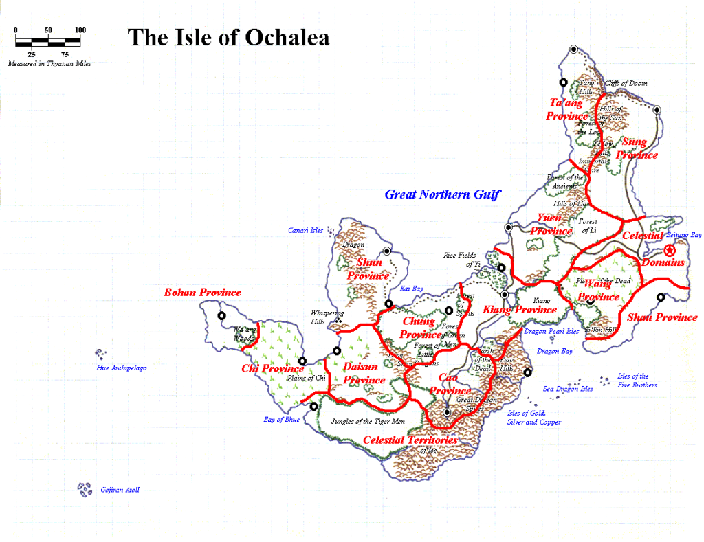
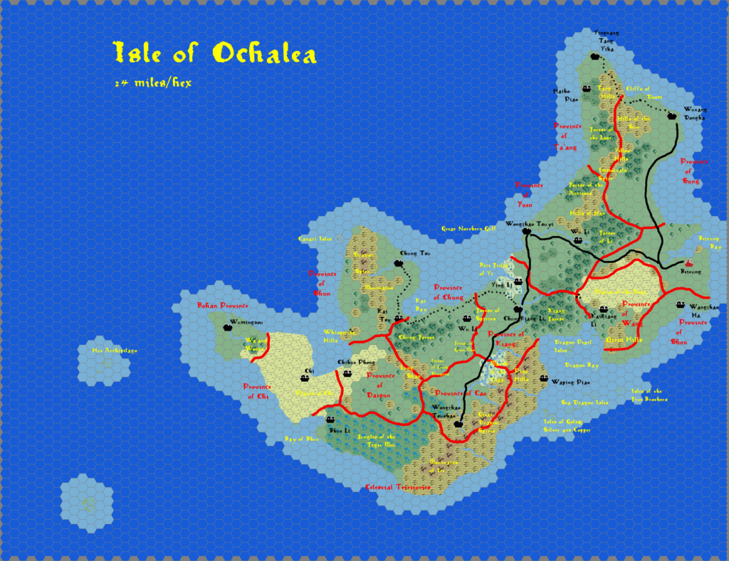
- Mystaros’ Isle of Ochalea (September 1998)
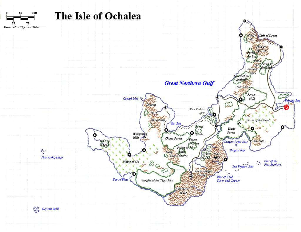
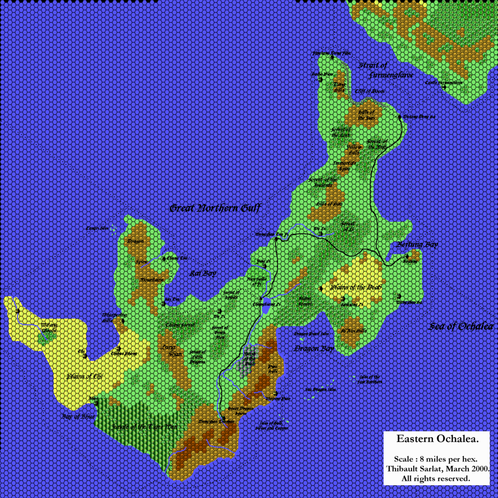
- Thibault’s Ochalea, 8 miles per hex v1 (March 2000 and May 2005)
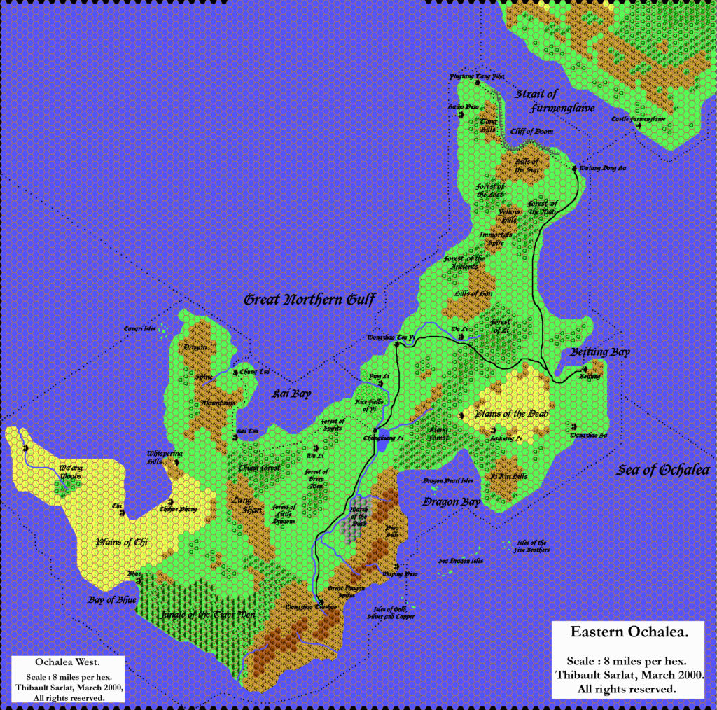
- Thibault’s Ochalea, 8 miles per hex v2 (March 2003)
- Ramelin’s Ochalea, 8 miles per hex v1 (November 2015)
References
- All of Jose’s maps at the Atlas of Mystara
- Jose’s entry in Appendix M: Mappers of Mystara (upcoming)
- Jose’s author page at the Vaults of Pandius
Chronological Analysis
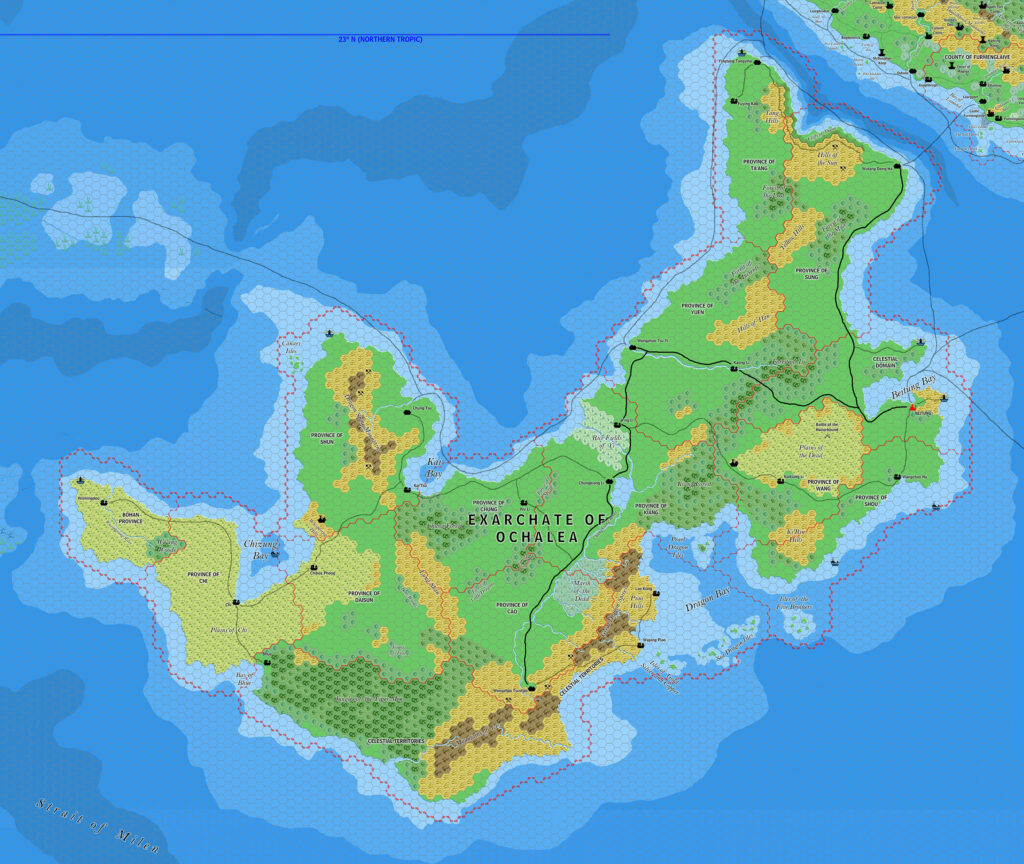
This is a fan-made map. It was published in November 2017. The updated Atlas version of this map is not yet available. See also Appendix C for annual chronological snapshots of the area. For the full context of this map in Mystara’s publication history, see the upcoming Let’s Map Mystara 2017.
The following lists are from the Let’s Map Mystara project. Additions are new features, introduced in this map. Revisions are changes to previously-introduced features. Hex Art & Fonts track design elements. Finally, Textual Additions are potential features found in the related text. In most cases, the Atlas adopts these textual additions into updated and chronological maps.
Under Construction! Please check back again soon for updates.
Additions
- Settlements —
Revisions
- Settlements —
Hex Art & Fonts
- Fonts — Bell MT (major geographic and all water labels), Bell Centennial (all other labels), Feinen (titling).
- Hex Art — Ramelin Mystara standard.
")

")