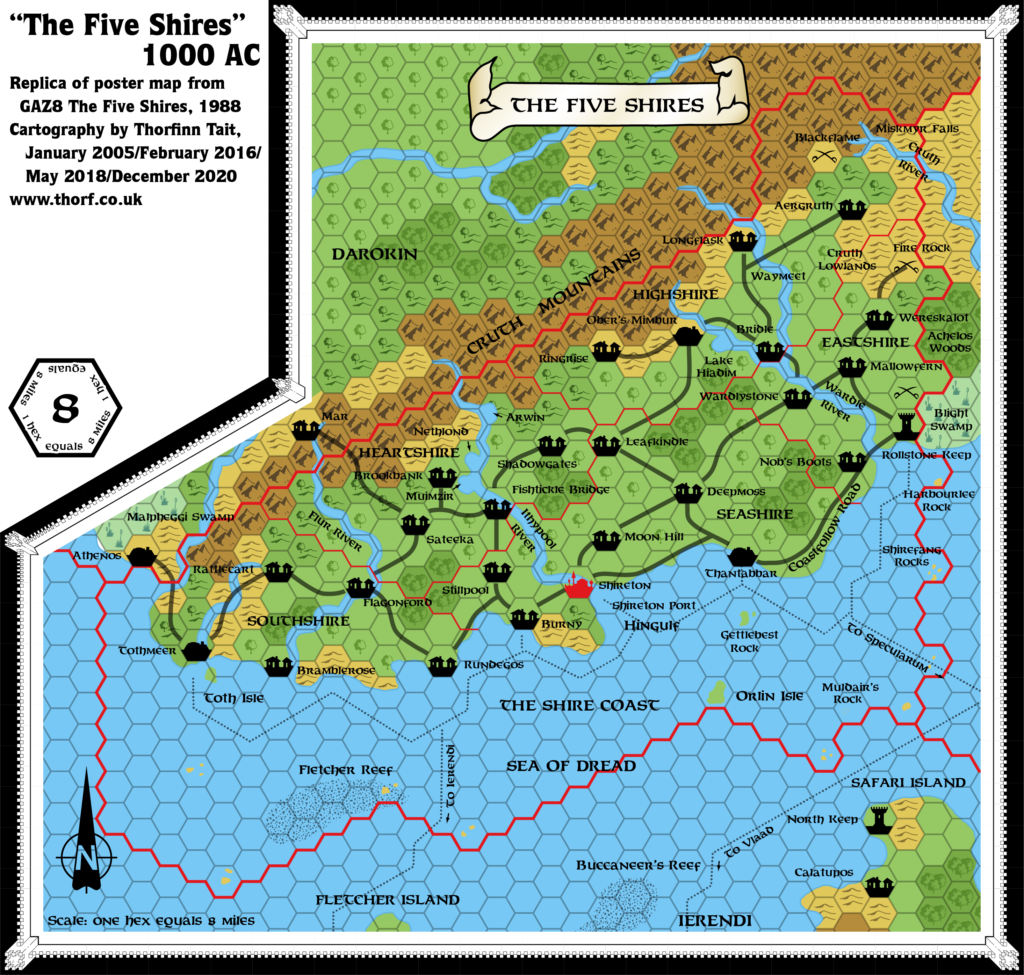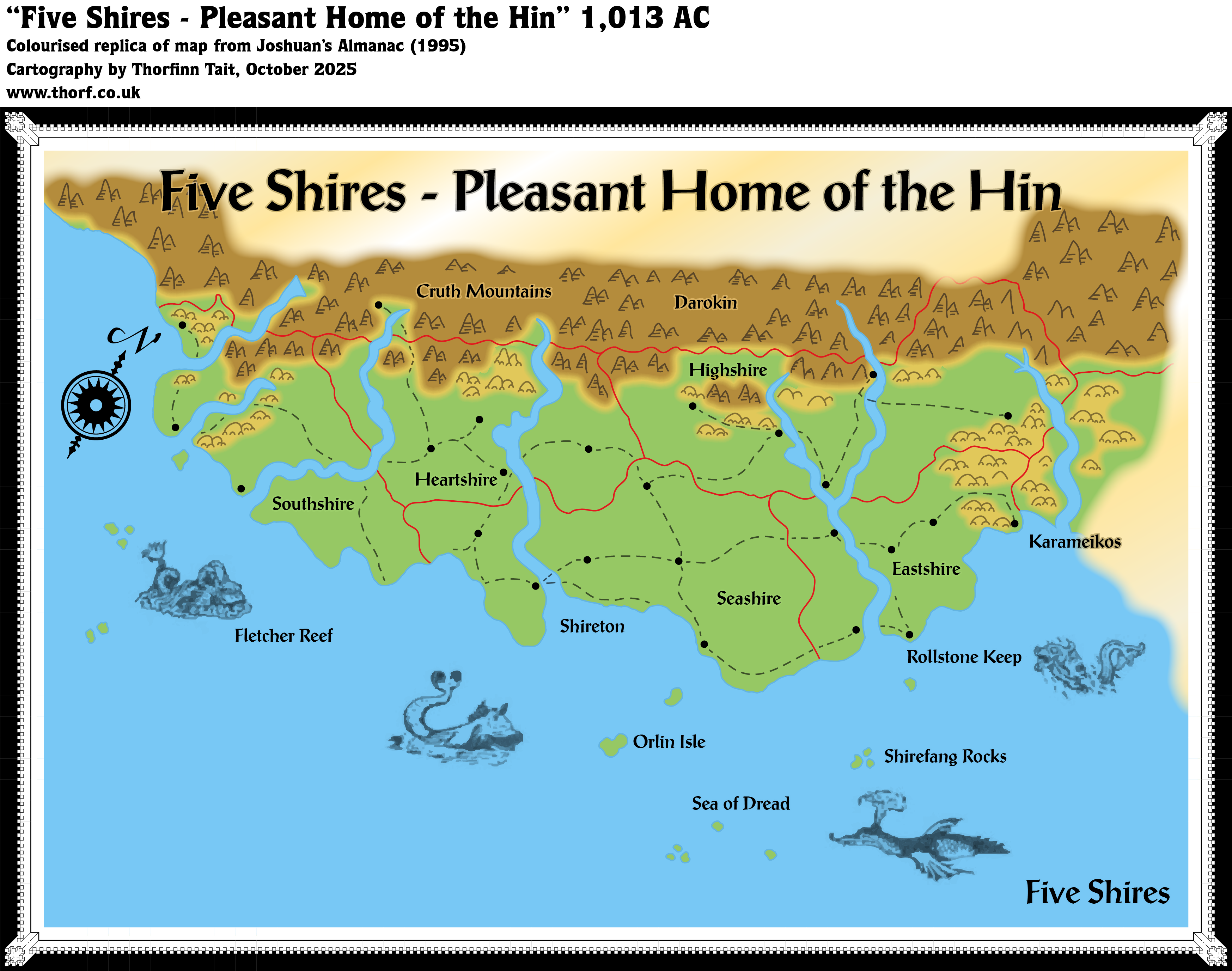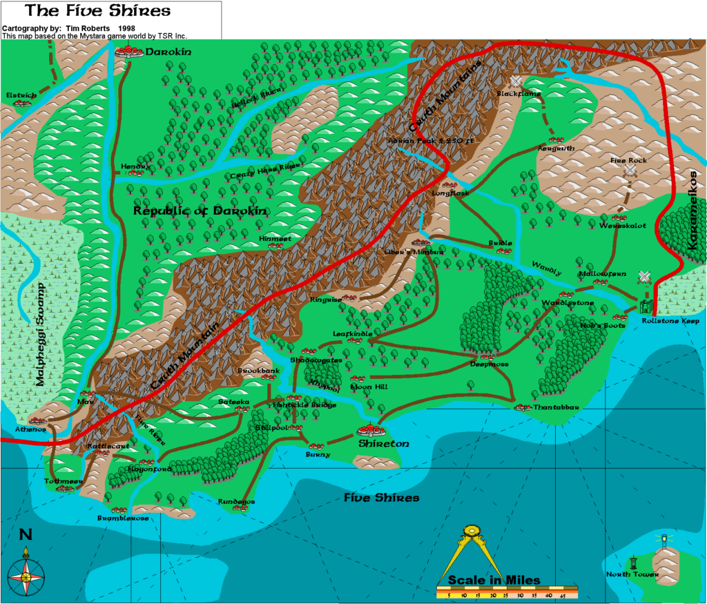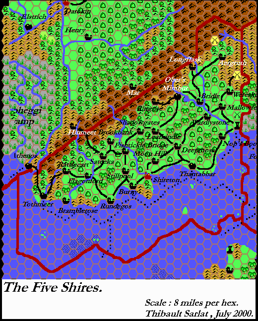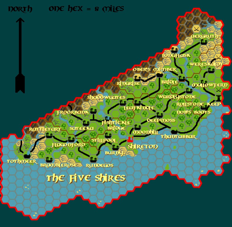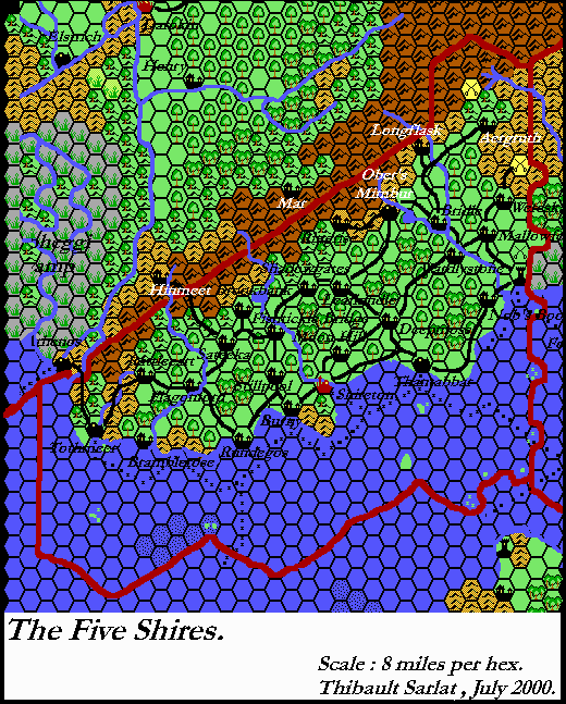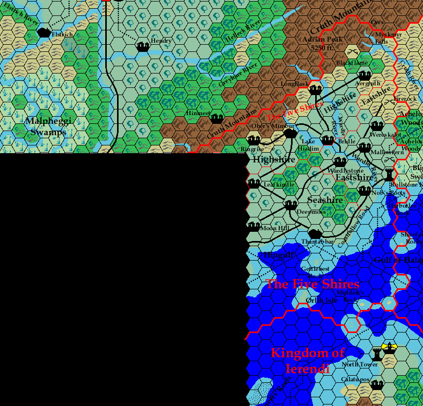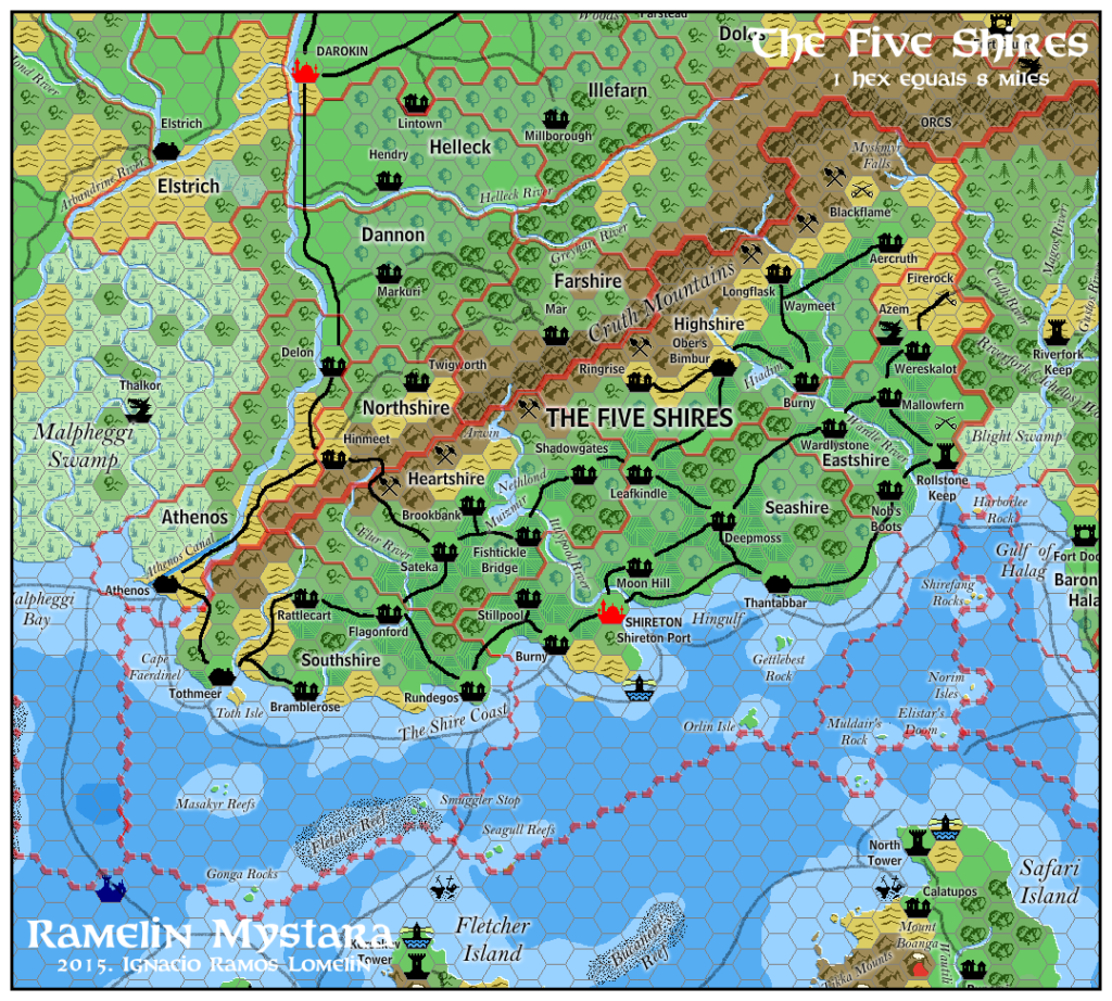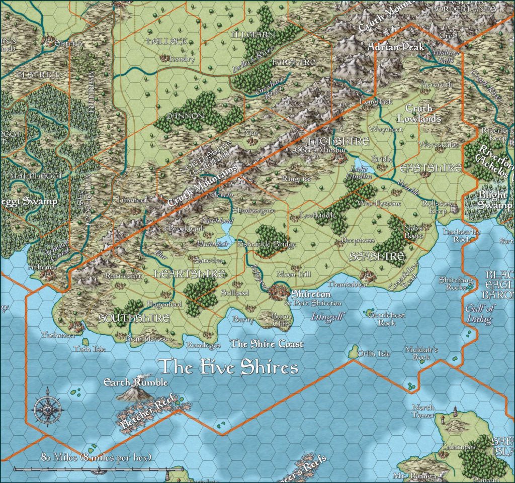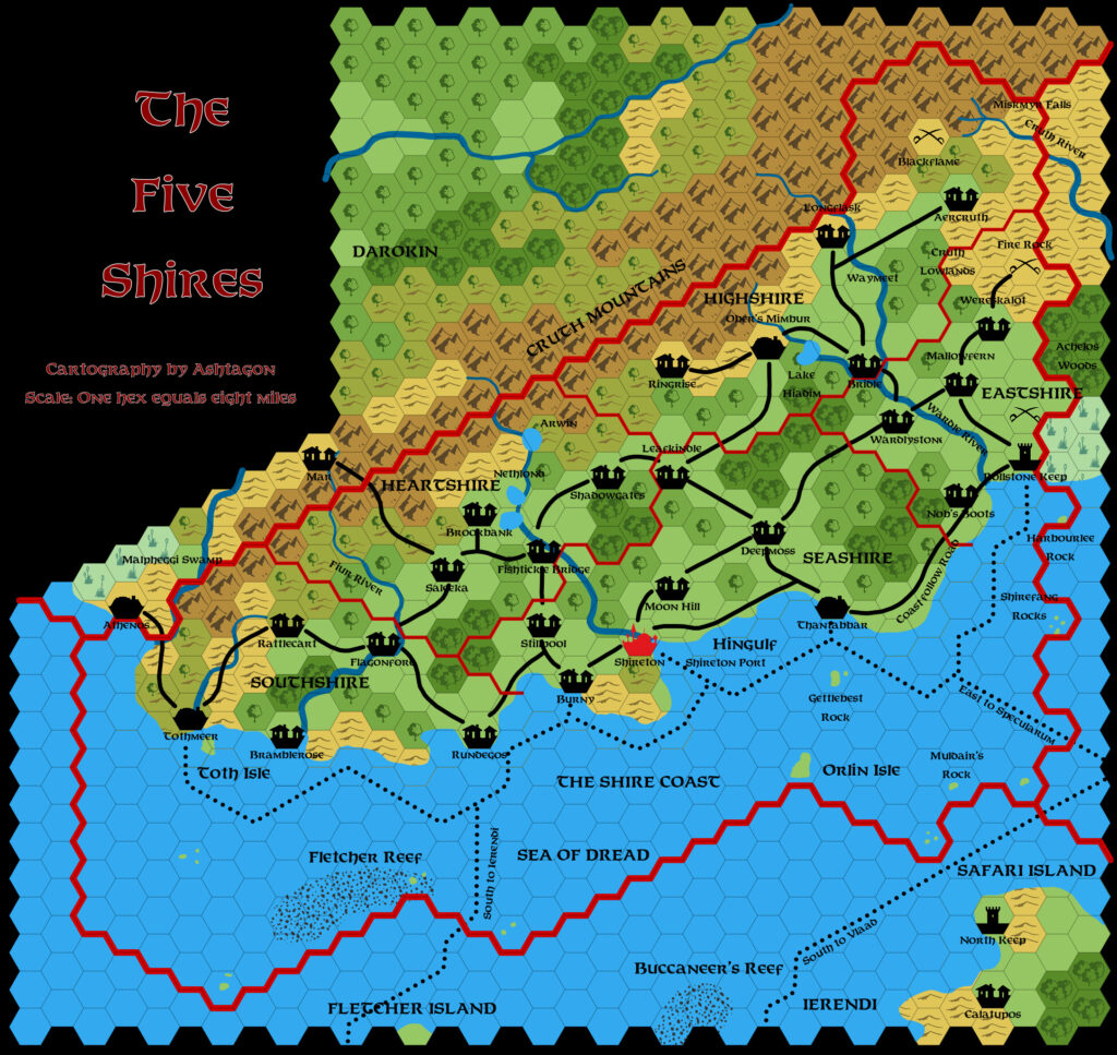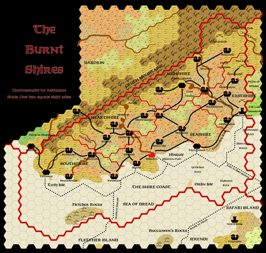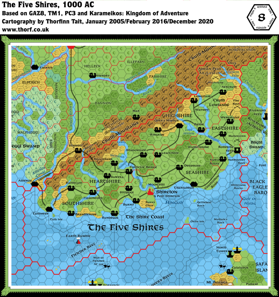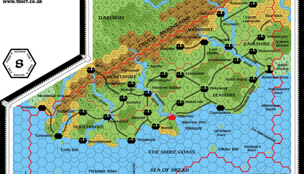
GAZ8 Five Shires, 8 miles per hex
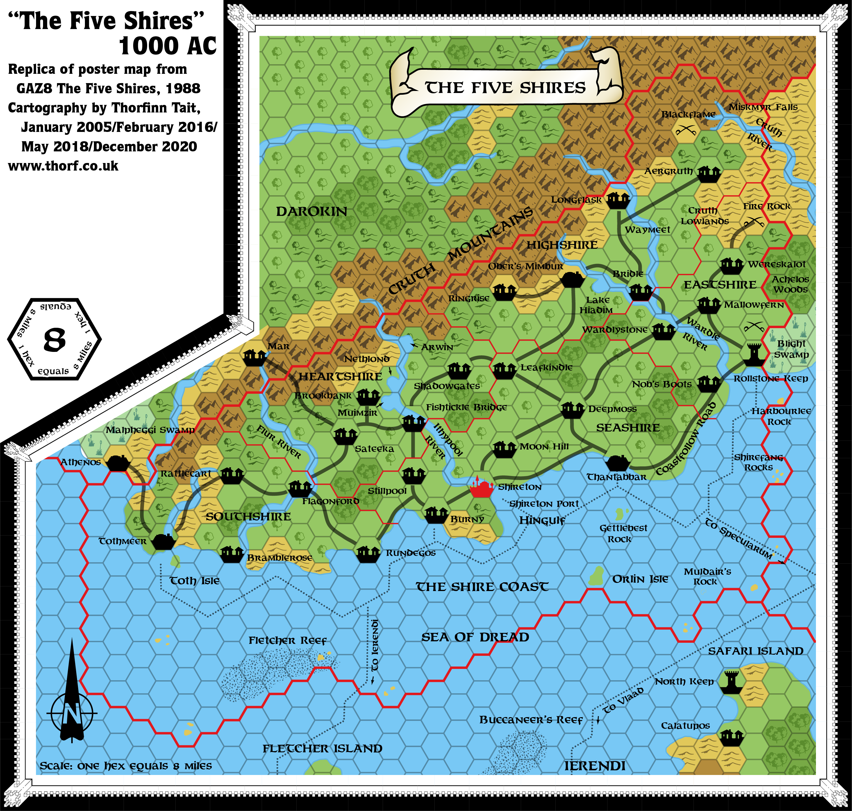
GAZ8’s was arguably the first map in the Gazetteer series to be crammed full of detail. The Shires occupy a small area already, of course, but the map seems full of settlements, labels, and so on, to an extent that had not yet been seen in Known World maps.
Replica Map (December 2020)
Sources
- GAZ8 The Five Shires (1988) (PDF at DriveThruRPG)
- Poster map (Cartography by Dave Sutherland, Dennis Kauth, and Frey Graphics)
Chronological Analysis
This is Map 98. It was published in November 1988. The updated version of this map is Five Shires, 8 miles per hex. See also Appendix C for annual chronological snapshots of the area. For the full context of this map in Mystara’s publication history, see Let’s Map Mystara 1988.
The following lists are from the Let’s Map Mystara project. Additions are new features, introduced in this map. Revisions are changes to previously-introduced features. Hex Art & Fonts track design elements. Finally, Textual Additions are potential features found in the related text. In most cases, the Atlas adopts these textual additions into updated and chronological maps.
Under Construction! Please check back again soon for updates.