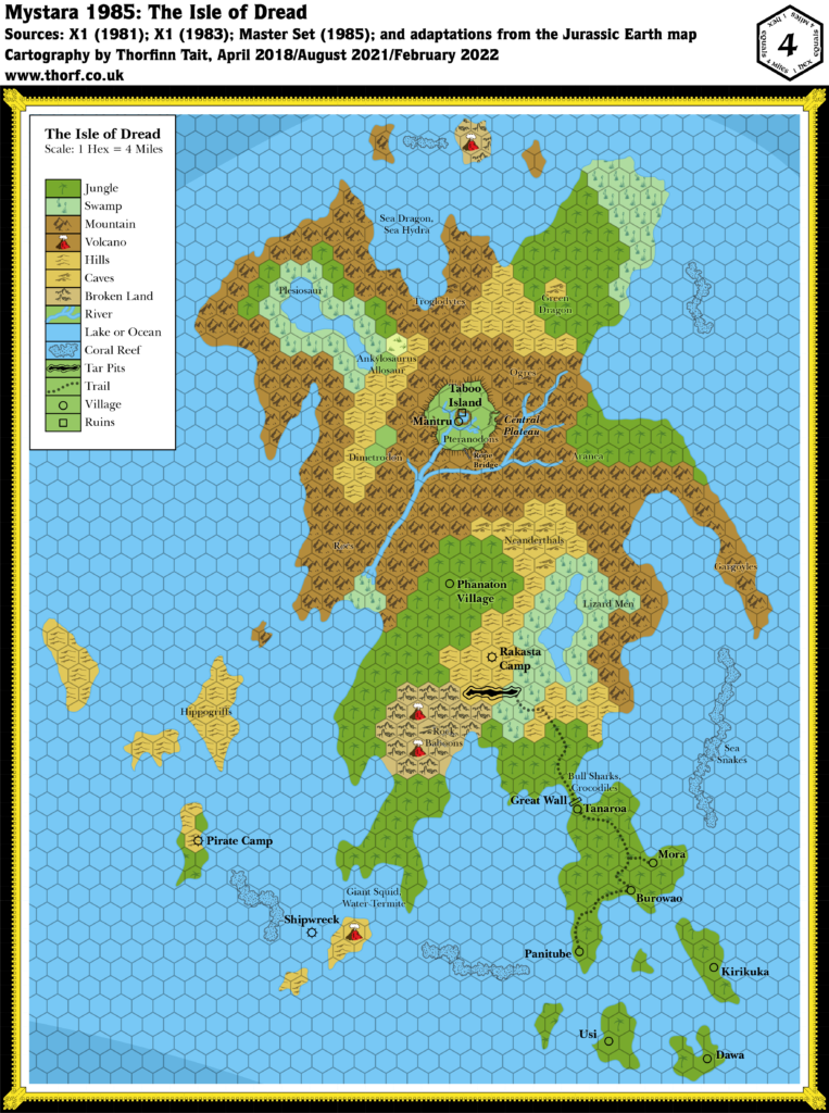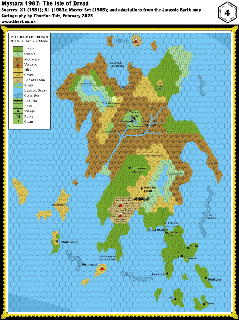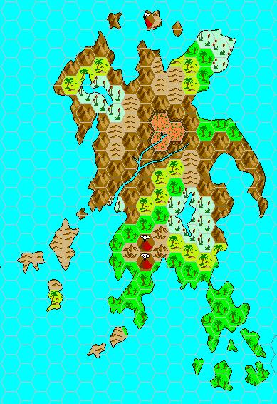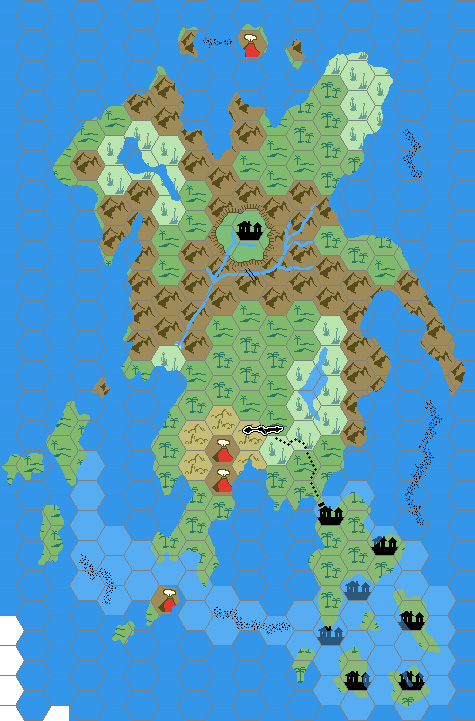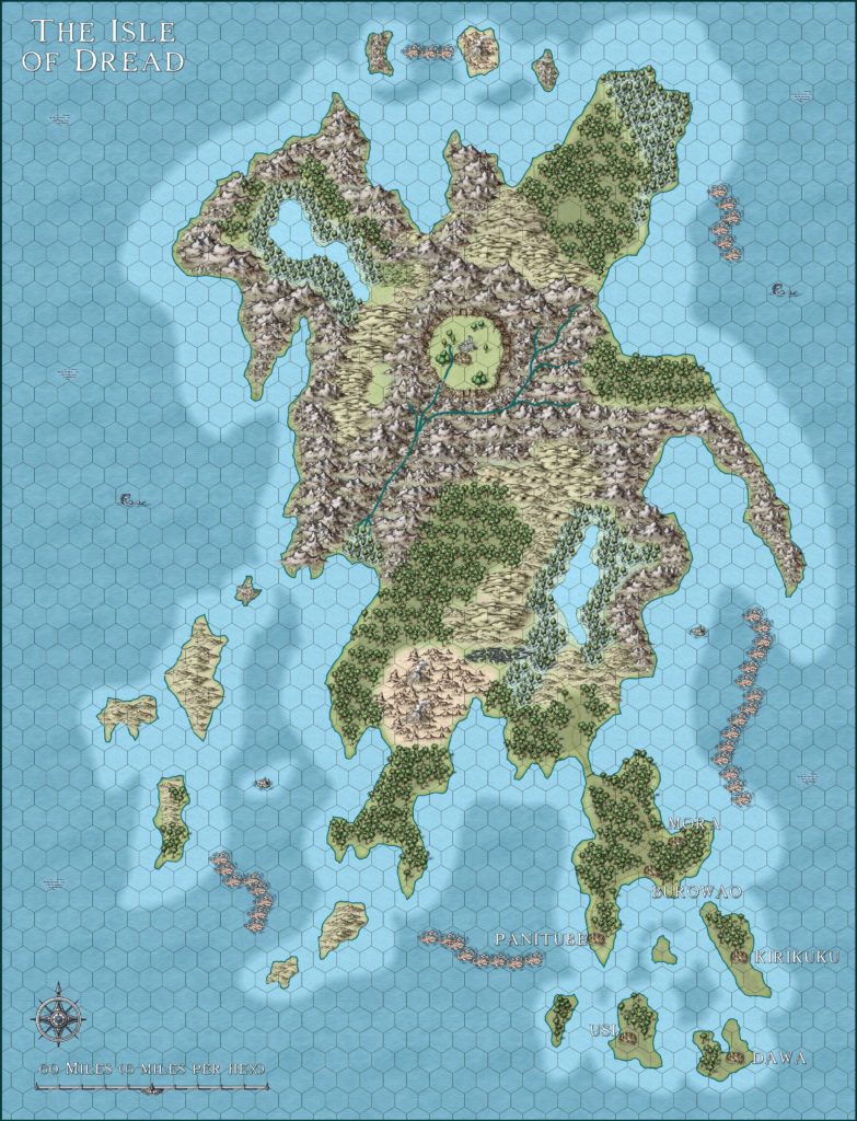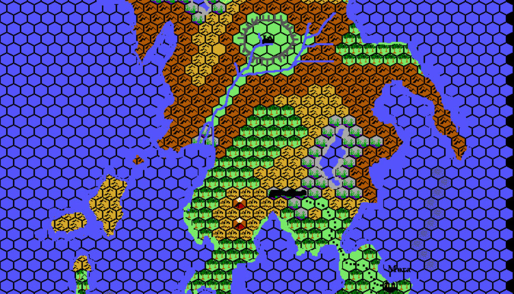
Thibault’s Isle of Dread, 8 miles per hex
The Isle of Dread was one of seven maps Thibault produced for Volume 2 of the Tome of Mystara, which was published in December 1999. Thibault’s files indicate that he finished it in October of that year. This map never suffered from the problem of rotated hex art, because the original Isle of Dread map used regular hex rows rather than Mystara’s usual columns. Thus, Thibault was able to produce a version with upright hex art from the start.
The original version from the Tome of Mystara (second below) had a grey hex grid, as was usual for Thibault’s early maps. He later updated it with a black hex grid. The exact timing of this is unclear; since he updated a great many of his maps in September 2001, I have assigned it that date, but it’s a bit of a guess. I have also cleaned up the hex grid around the coasts. This version appears first below.
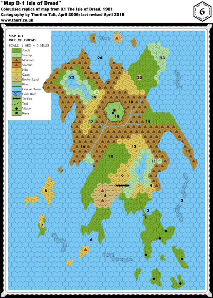
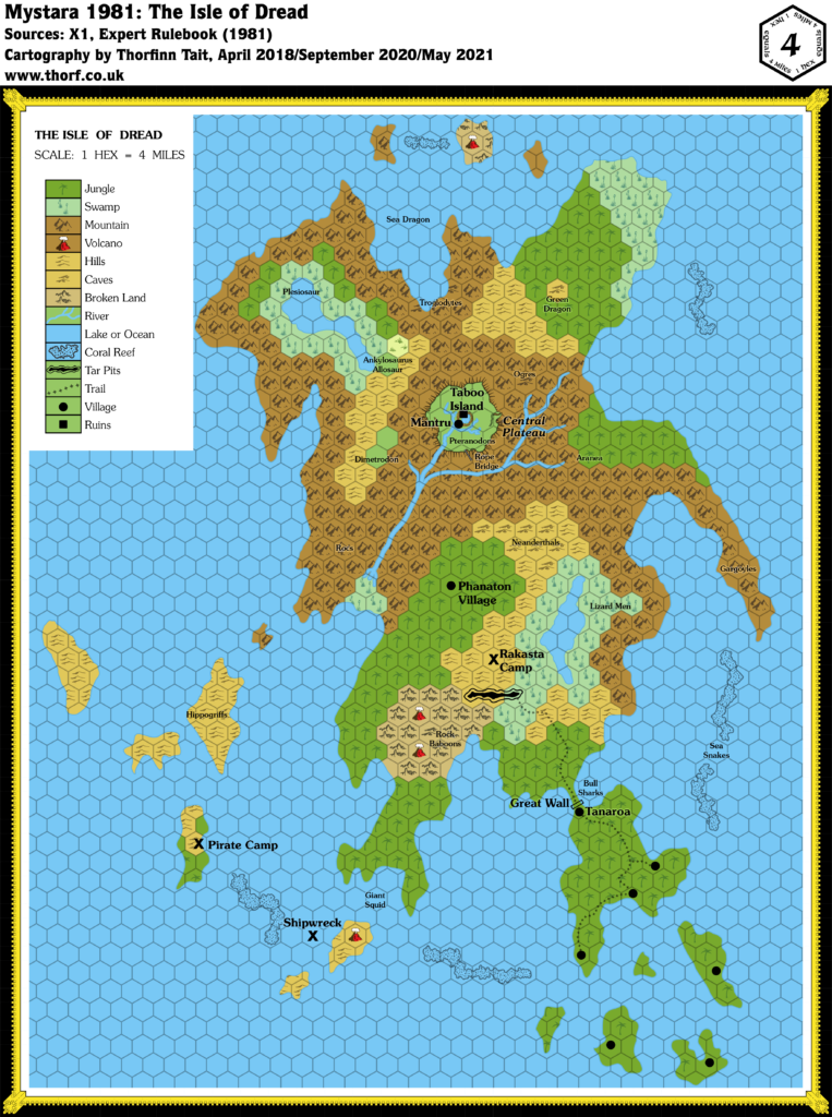
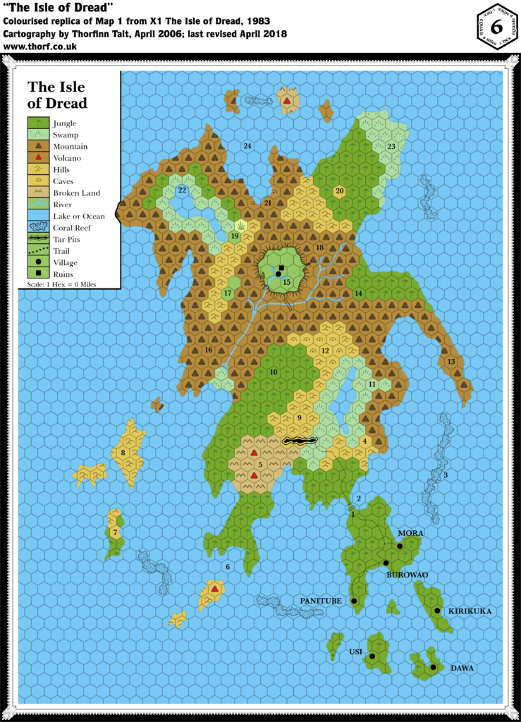
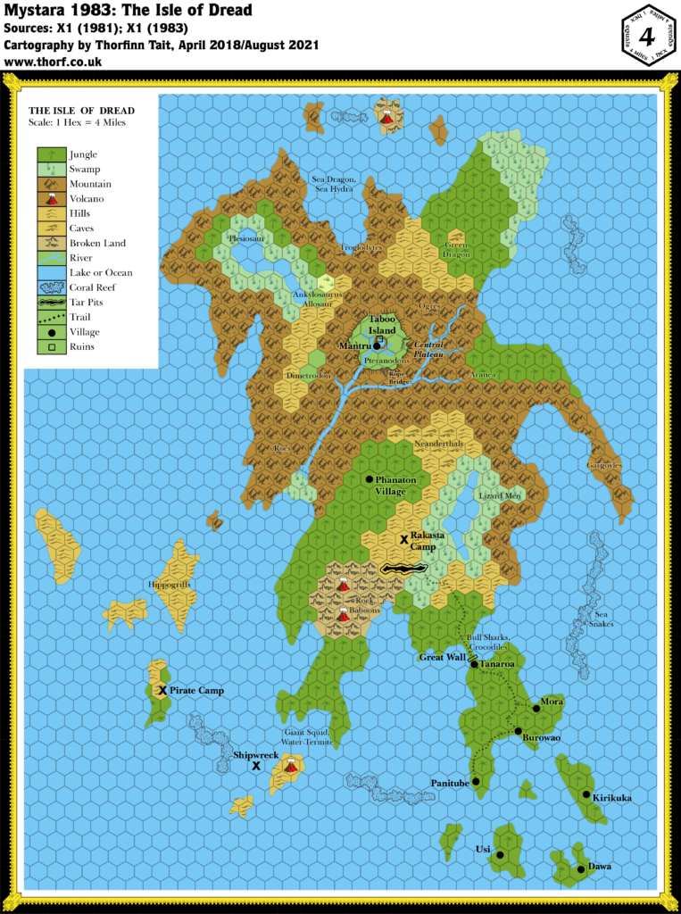
The map itself was a pretty close reproduction of X1’s map. The listed scale, 8 miles per hex, differed from the original, which was listed as 6 miles per hex. Note that the Atlas reinterprets the scale in the opposite direction, treating it as 4 miles per hex so that the isle more closely corresponds to X1’s 24 mile per hex map.
Fan-made Map by Thibault Sarlat (c. September 2001)
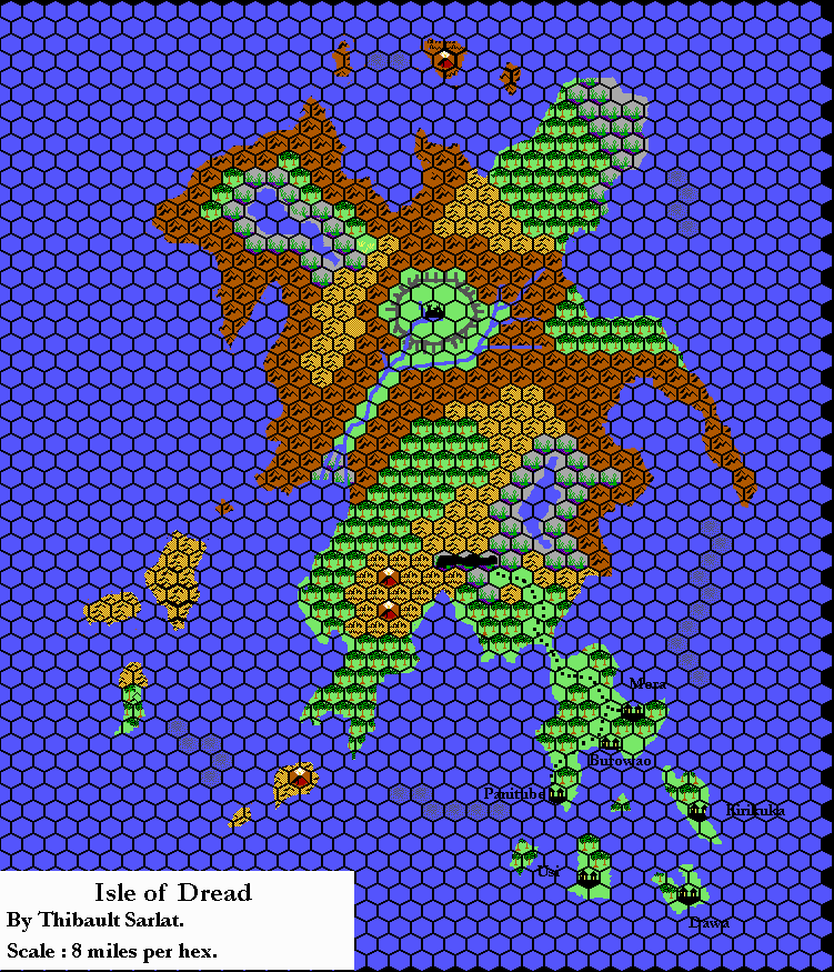
cleaned up by Thorfinn Tait, July 2021
Fan-made Map by Thibault Sarlat (October 1999)
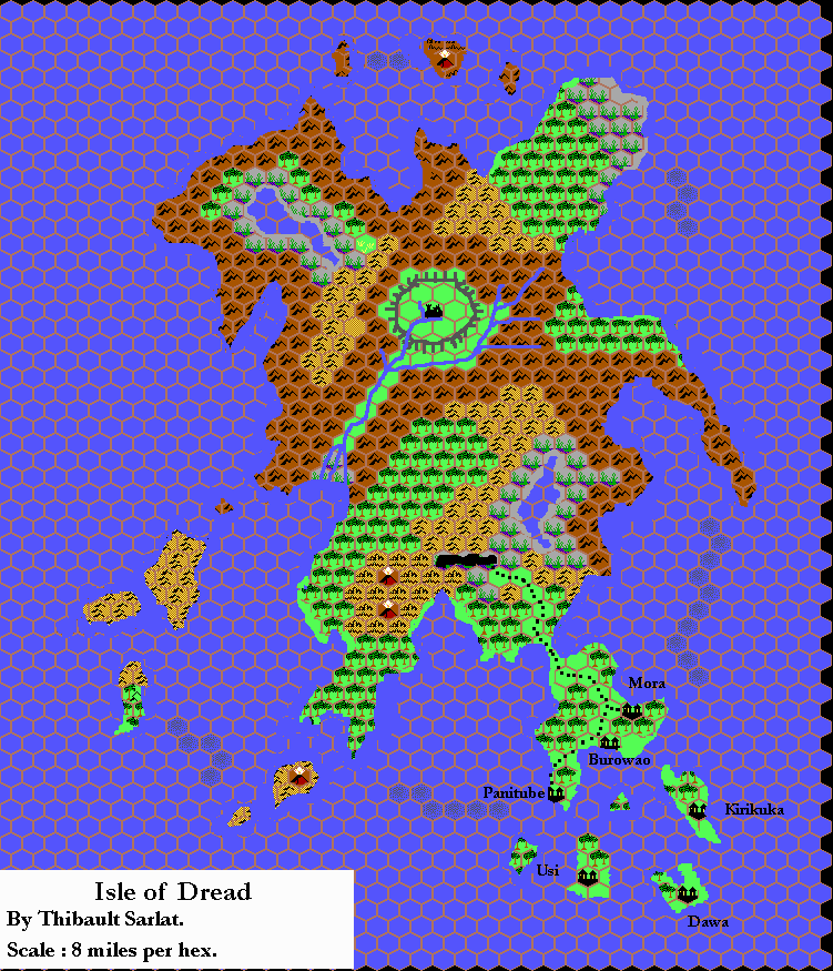
This is an original map created by one of Mystara’s excellent fan cartographers. For more information on the cartographer, including a gallery of all their maps, see also Appendix M: Mappers of Mystara.
Sources
- X1 The Isle of Dread (1981) (PDF at DriveThruRPG)
References
- All of Thibault’s maps at the Atlas of Mystara
- Thibault’s entry in Appendix M: Mappers of Mystara (upcoming)
- Thibault’s author page at the Vaults of Pandius
Chronological Analysis
This is a fan-made map. It was published in October 1999. The updated Atlas version of this map is Isle of Dread, 4 miles per hex. See also Appendix C for annual chronological snapshots of the area. For the full context of this map in Mystara’s publication history, see the upcoming Let’s Map Mystara 1999.
The following lists are from the Let’s Map Mystara project. Additions are new features, introduced in this map. Revisions are changes to previously-introduced features. Hex Art & Fonts track design elements. Finally, Textual Additions are potential features found in the related text. In most cases, the Atlas adopts these textual additions into updated and chronological maps.
Coming Soon