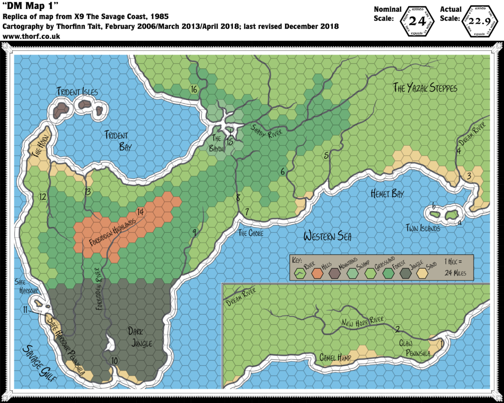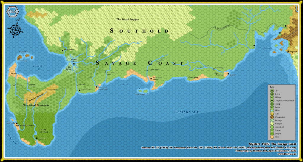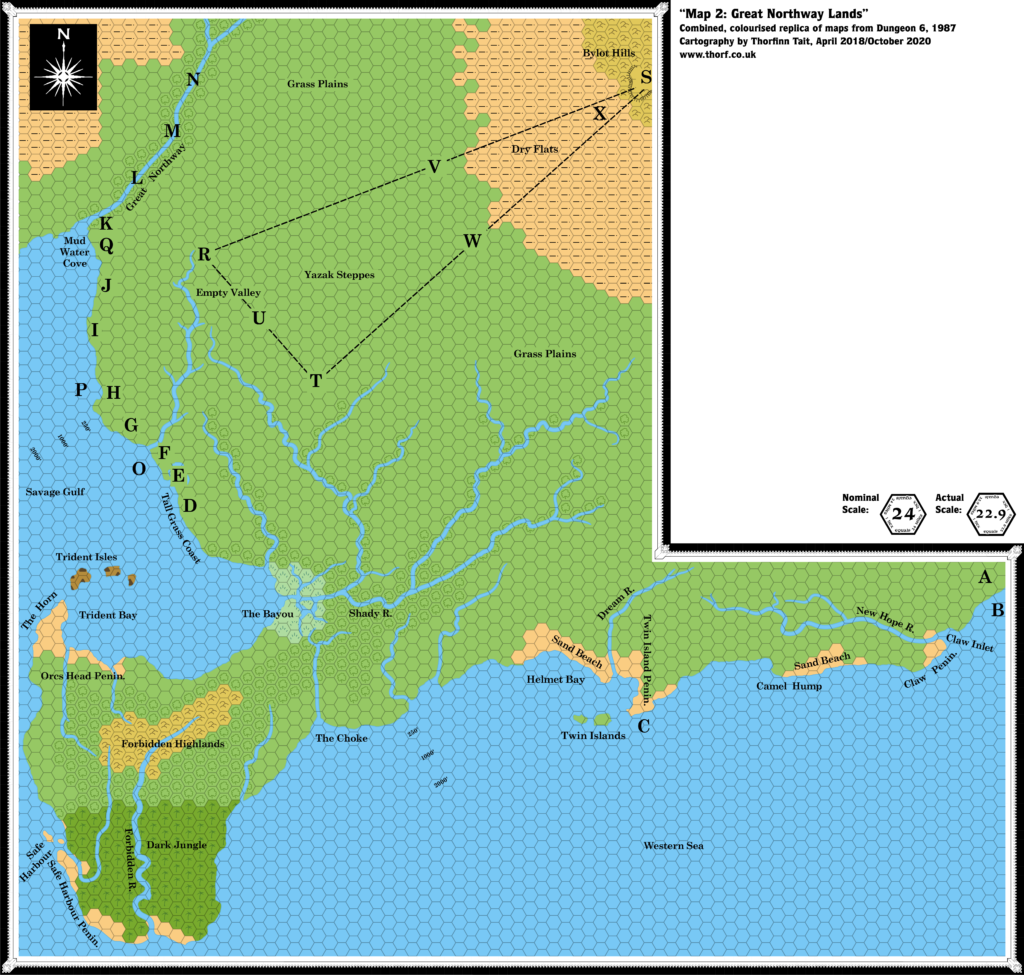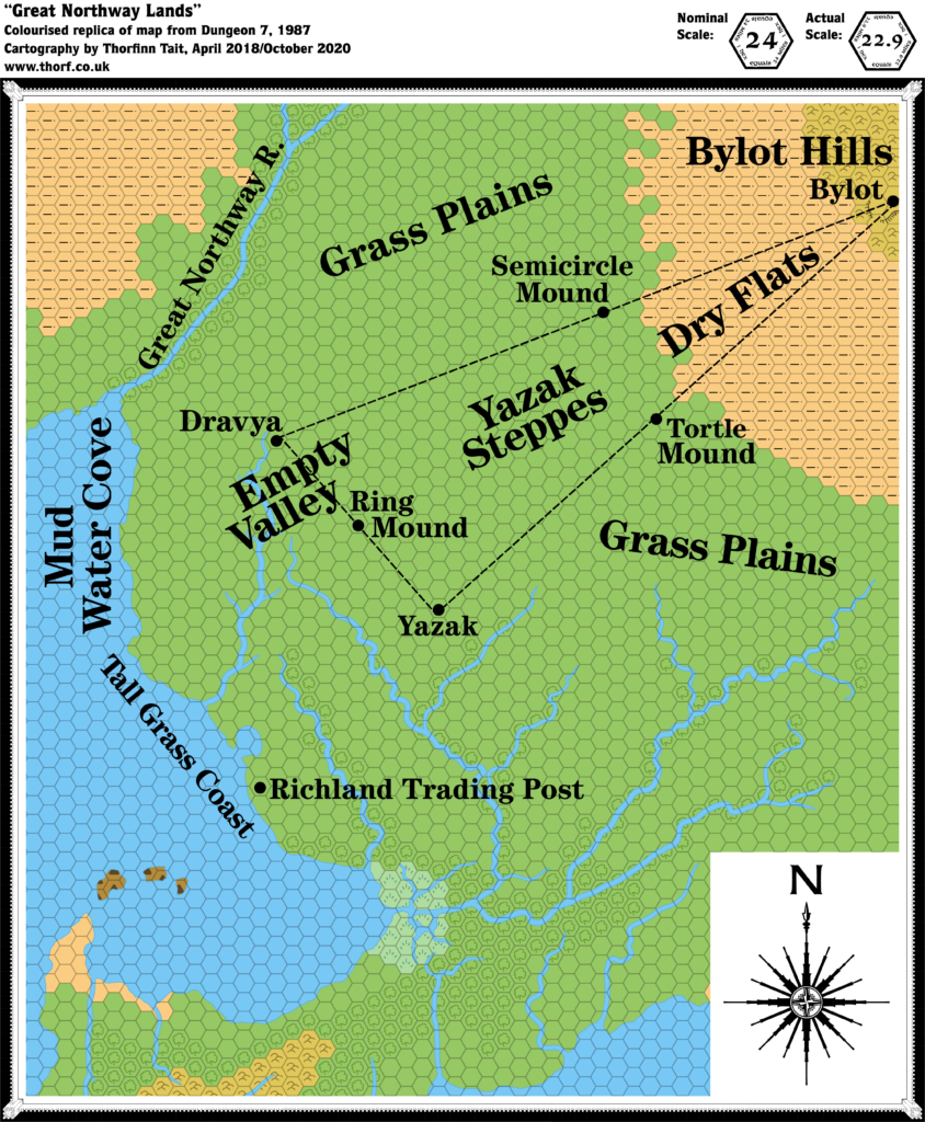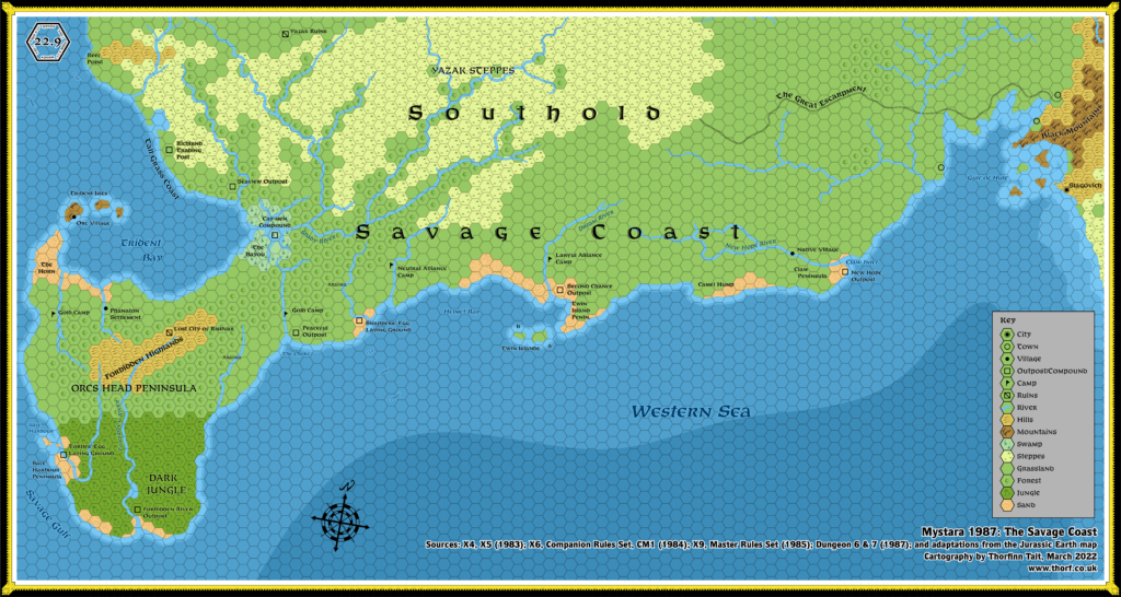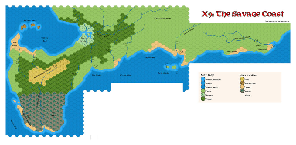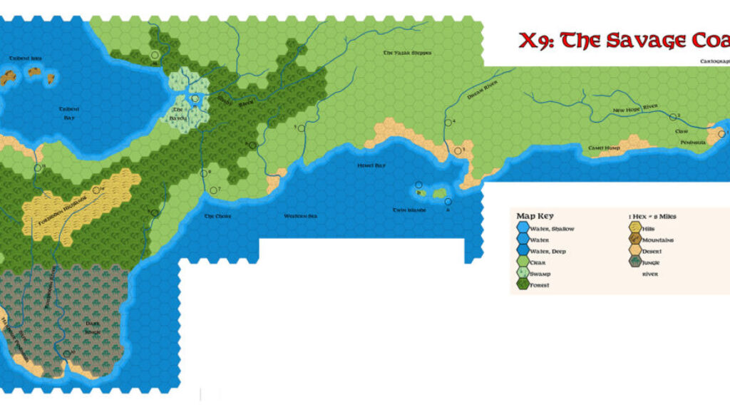
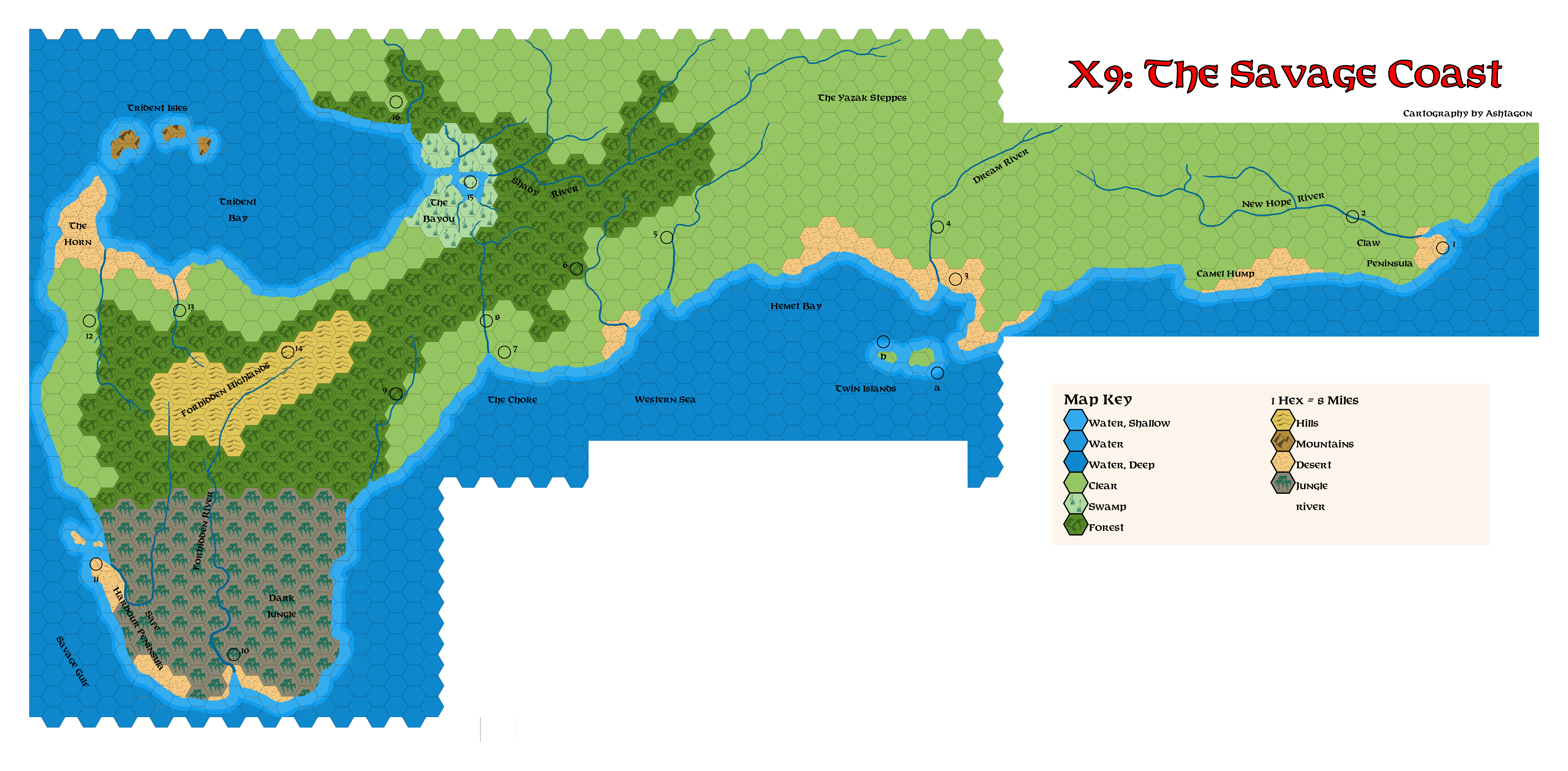
Ashtagon’s X9 Savage Coast, 24 miles per hex
The second of three maps Emma did on the side while working on her Patera, 8 miles per hex map, this one focused on X9’s original version of the Savage Coast. She explained in a post at The Piazza:
Made using Worldographer and an extended version of Thorf’s hex art. This is a near-replica of the wilderness map from TSR’s Module X9: The Savage Coast.
This map relates to the pre-Princess Ark version of the region, which changed the area almost entirely. I believe some fanon suggests that the reality shift between this module’s version and the Princess Ark version might relate to the time travel and prophecy shenanigans going on in the Yavdlom Divinarchy.
The deep blues of Emma’s sea palette made this into a really nice-looking map.
As with the original X9 map, the scale was out; in order to fit it in with other maps, it’s more like 22.9 miles per hex. (And note that Emma’s scale was wrong again, listing 8 miles per hex — most likely copied and pasted from a previous map.) As with my own “assembled” version of X9’s map, she chose to place the two parts together; on the original, the right-hand section was presented in the space directly south of The Choke and Twin Islands.
Emma kindly provided a little more insight in a Facebook comment:
This map marks the first use of an alternate colour palette for the jungle tiles. This colour was chosen based on the colour scheme from the map in Module X9. I was looking for an alternate colour scheme that would leave the jungle symbols more visible against the background, as very dark green on dark green (my default jungle tile) is rather hard to read. However, this greyish-green background doesn’t really vibe as jungle for me. I’m still undecided on what the final version of my jungle symbols will be.
Fan-made Map by Emma Rome (March 2026)
This is an original map created by one of Mystara’s excellent fan cartographers. For more information on the cartographer, including a gallery of all their maps, see also Appendix M: Mappers of Mystara.
Sources
- X9 The Savage Coast (1985) (PDF at DriveThruRPG)
Fan Sources
References
- All of Emma’s maps at the Atlas of Mystara
- Emma’s entry in Appendix M: Mappers of Mystara (upcoming)
- Emma’s author page at the Vaults of Pandius
Chronological Analysis
This is a fan-made map. It was published in March 2026. The updated Atlas version of this map is not yet available. See also Appendix C for annual chronological snapshots of the area. For the full context of this map in Mystara’s publication history, see the upcoming Let’s Map Mystara 2026.
The following lists are from the Let’s Map Mystara project. Additions are new features, introduced in this map. Revisions are changes to previously-introduced features. Hex Art & Fonts track design elements. Finally, Textual Additions are potential features found in the related text. In most cases, the Atlas adopts these textual additions into updated and chronological maps.
Under Construction! Please check back again soon for updates.