")
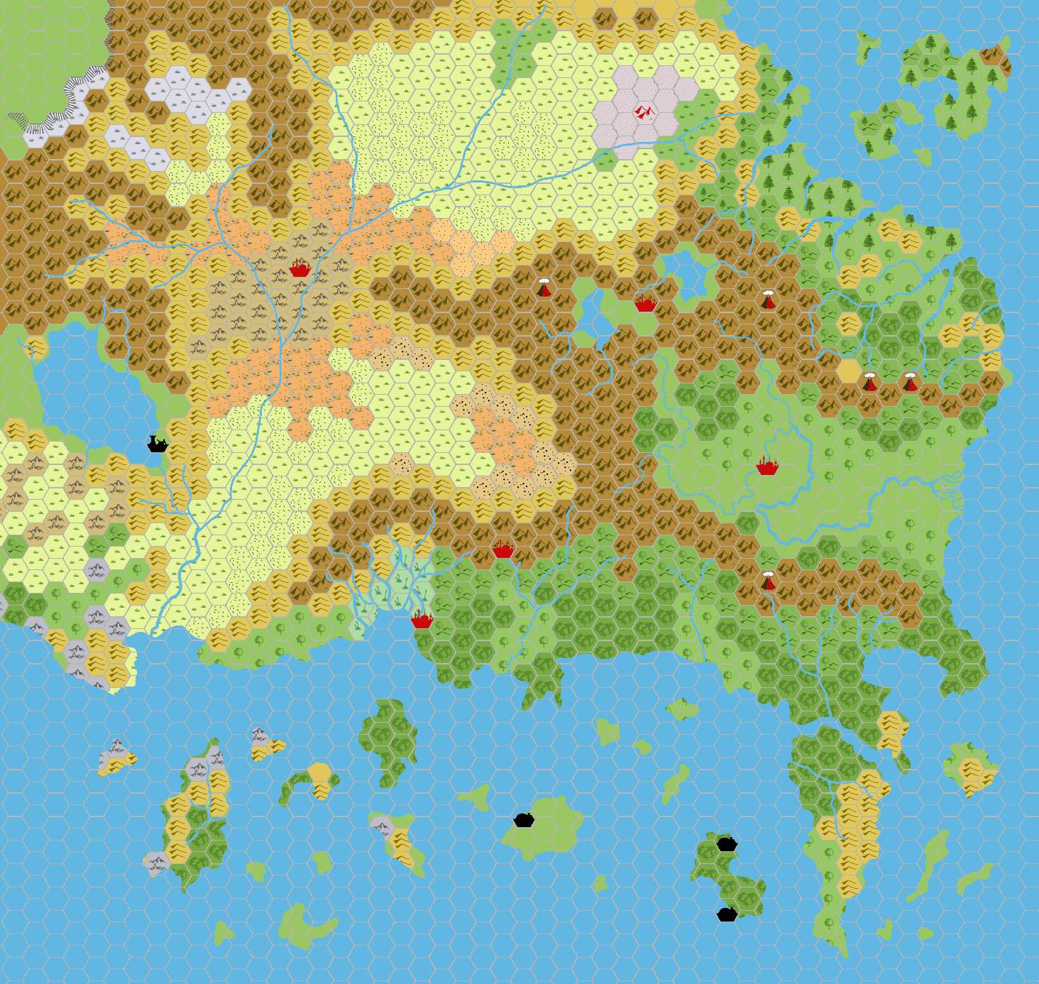
Chimpman’s Known World 1000 BC, 24 miles per hex v2
Two days after posting his first draft of Known World, 1000 BC, John returned with an updated version. Taking feedback and discussion in his Piazza thread into account, he noted the following changes:
- Made Atruaghin plateau remains smaller. Added volcanic terrain on the southern shore of Atruaghin and Ierendi isles.
- Removed most of the desert from Alfheim and replaced with grasslands. A smaller desert still remains near the Altan Tepes.
- Enlarged the area of the Land of Black Sands.
- Moved Ranak to occupy the same hex as Ylaruam City.
After this, John’s focus changed to eras further in the past, closer to the Great Rain of Fire and the Broken Lands incident. These two early maps gave a clear hint at where he was headed.
Fan-made Map by John Calvin (September 2008)
This is an original map created by one of Mystara’s excellent fan cartographers. For more information on the cartographer, including a gallery of all their maps, see also Appendix M: Mappers of Mystara.
Sources
- B10 Night’s Dark Terror (1986) (PDF at DriveThruRPG)
- GAZ5 The Elves of Alfheim (1988) (PDF at DriveThruRPG)
- GAZ6 The Dwarves of Rockhome (1988) (PDF at DriveThruRPG)
- GAZ10 The Orcs of Thar (1989) (PDF at DriveThruRPG)
- Hollow World Campaign Set (1990) (PDF at DriveThruRPG)
- HWR2 Kingdom of Nithia (1991) (PDF at DriveThruRPG)
Fan Sources
- Outer World: Nithia 1000 BC, 24 miles per hex discussion thread at The Piazza (September 2008)
References
- All of John’s maps at the Atlas of Mystara
- John’s entry in Appendix M: Mappers of Mystara (upcoming)
- John’s author page at the Vaults of Pandius
Chronological Analysis
This is a fan-made map. It was published in September 2008. The updated Atlas version of this map is not yet available. See also Appendix C for annual chronological snapshots of the area. For the full context of this map in Mystara’s publication history, see the upcoming Let’s Map Mystara 2008.
The following lists are from the Let’s Map Mystara project. Additions are new features, introduced in this map. Revisions are changes to previously-introduced features. Hex Art & Fonts track design elements. Finally, Textual Additions are potential features found in the related text. In most cases, the Atlas adopts these textual additions into updated and chronological maps.
Under Construction! Please check back again soon for updates.
")
")
")