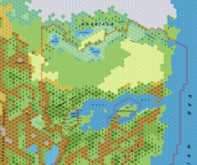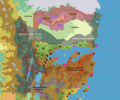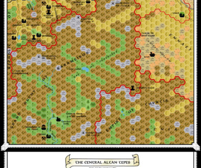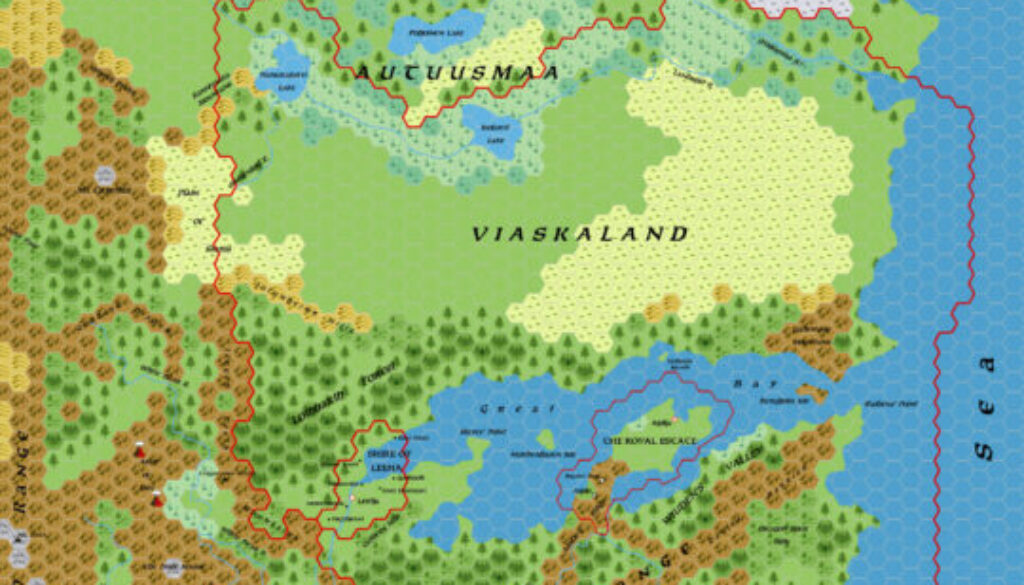
Zendrolion’s Norwold, 24 miles per hex v1.5
Just a few days after posting his first labelled version, Norwold 1.4, Simone shared an updated 1.5 map with even more labels. He also incorporated revisions that Michele and others had proposed on the Italian MMB. Among Michele’s suggestions were the change from White Sea to Norzee; the naming of Heldland after the Joshuan’s Almanac river in that region; and a general agreement to using fan-created names where official maps were blank. This last point was likely quite an important one for the development of the map, because both Simone and Michele are known for their attention to detail and adherence to official maps. However, Norwold can’t really be mapped thoroughly without reference to fan creations, suppositions, placements, and so on, because the official information is either too scant, or too ambiguous.
Thus, adding new names and adopting fan-created names was inevitable. Michele’s comments on this subject were fascinating, and well worth a read:
I think a general, reasoned placement of them makes sense.
As for the addition of non-canonical elements, I’ll simply point out that whatever position one decides to take, Norwold as presented in the official supplements is too sparsely populated, and is incongruent with the neighboring regions to the south. Many official designers and enthusiasts have attempted to fill these glaring gaps by inserting new elements (such as the M4, the CM3, Heard’s own work on the Heldann Knights, and then the non-canonical Samaari and Varaana, and the Vantalians).
In this I justify the idea of taking the most popular of these elements (it is not necessarily the most successful, but being famous probably means that they adapt better to the surrounding context) and aligning them a little so that they fit logically into the rest of the canonical context.
It’s true that the resulting work is semi-canonical and disputable, but it has a slightly more shared and reasoned basis than if I alone were to invent the Empire of the Assassin Firs of the Earthshard River from scratch and propose it en masse to the Vaults or to the quest forum or to the WOTC forum.
Simone introduced his revised map as follows:
Without further ado, here’s the map with new place names. Some are from the Vaults, others are my own additions. The only “canon” part is the Ironfoot Mountains (taken from the AC10 adventure “The Pestiferous Castle of Bodor Sordstone,” which was originally intended to be included in Norwold).
For mountain ranges, I took the following approach: all the well-named ranges in Norwold are huge and are “ranges” that include many smaller mountains (just as the Alps or the Rockies include several smaller ranges). So find the name of the largest “range” and the names of the smaller “mountains.”
I added Heldland and Norzee (I checked: it should be the sea that goes from the Frosthaven area to north of Qeodhar) as per Zompa’s suggestion, and expanded the Wyrmsteeth Range to the northeast.
Of course, many of the toponyms are purely my own invention, and criticism, new proposals, and suggestions are welcome, especially to fill in the many places that still don’t have a name.
With place names for terrain features largely done, Simone and his compatriots would next turn their attention to the placement of dominions — another very thorny issue for Norwold, as there is an extensive list of these, but with almost no official locations.
Note that this map should not be confused with Simone’s Norwold 1.5 political map, which belonged to this later dominion placement effort.
This map would see one last update before settling into its position in the community as one of the most definitive Norwold maps.
Fan-made Maps by Simone Neri (April 2006)
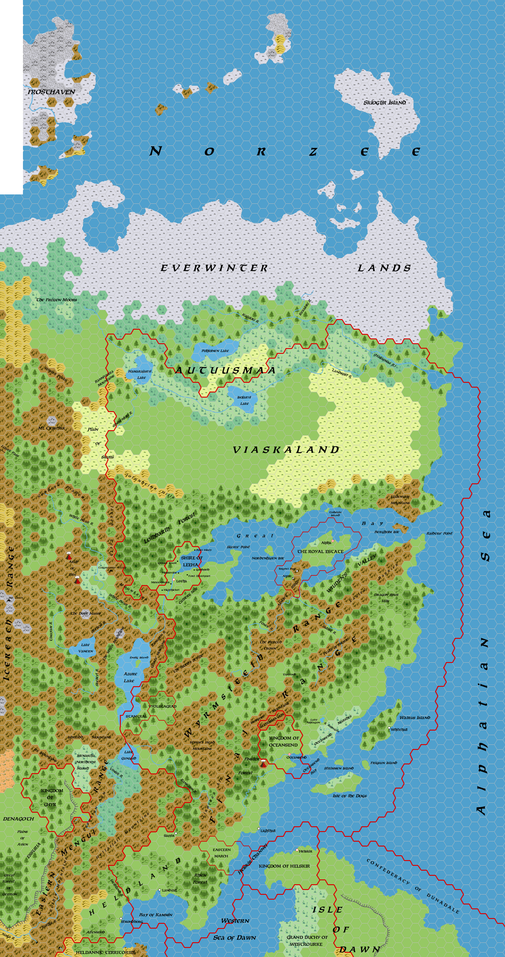
This is an original map created by one of Mystara’s excellent fan cartographers. For more information on the cartographer, including a gallery of all their maps, see also Appendix M: Mappers of Mystara.
Sources
Fan Sources
- Zendrolion’s Norwold, 24 miles per hex v1.3 (March 2006)
- Zendrolion’s Norwold Ethnographical, 24 miles per hex v1 (April 2006)
- Zendrolion’s Norwold, 24 miles per hex v1.4 (April 2006)
References
- All of Simone’s maps at the Atlas of Mystara
- Simone’s entry in Appendix M: Mappers of Mystara (upcoming)
- Simone’s author page at the Vaults of Pandius
Chronological Analysis
This is a fan-made map. It was published in April 2006. The updated Atlas version of this map is not yet available. See also Appendix C for annual chronological snapshots of the area. For the full context of this map in Mystara’s publication history, see the upcoming Let’s Map Mystara 2006.
The following lists are from the Let’s Map Mystara project. Additions are new features, introduced in this map. Revisions are changes to previously-introduced features. Hex Art & Fonts track design elements. Finally, Textual Additions are potential features found in the related text. In most cases, the Atlas adopts these textual additions into updated and chronological maps.
Under Construction! Please check back again soon for updates.
Additions
- XXX —
Revisions
- XXX —
Hex Art & Fonts
- Hex Art —
- Fonts —