Ashtagon’s Patera North Pole, 8 miles per hex v1
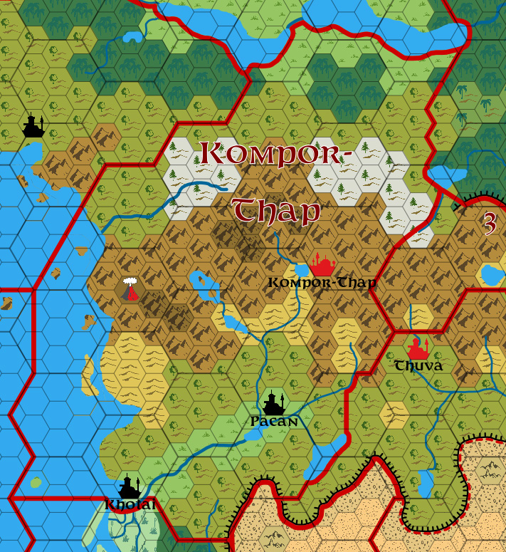
With her 8 mile per hex map of Patera well underway, Emma took a detour to create separate maps of the polar regions. She explained the reason for doing this in a work-in-progress preview at DeviantArt as follows:
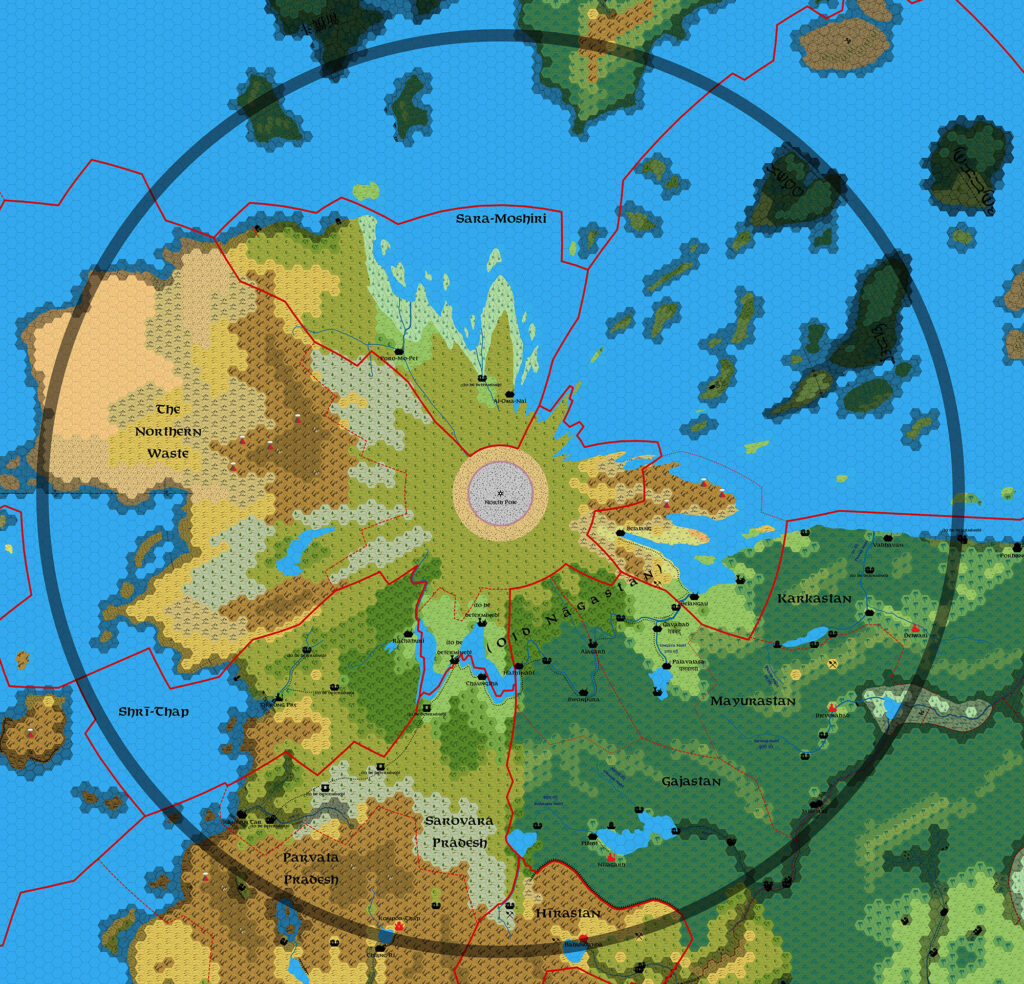
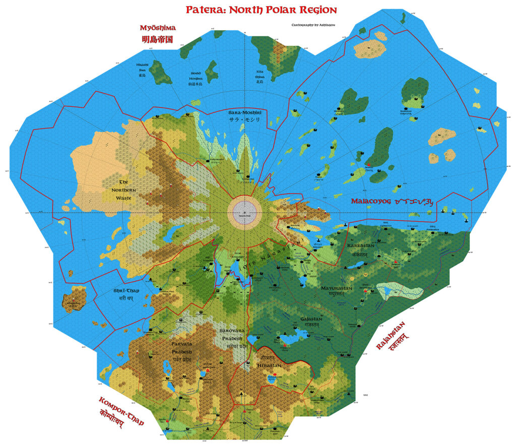
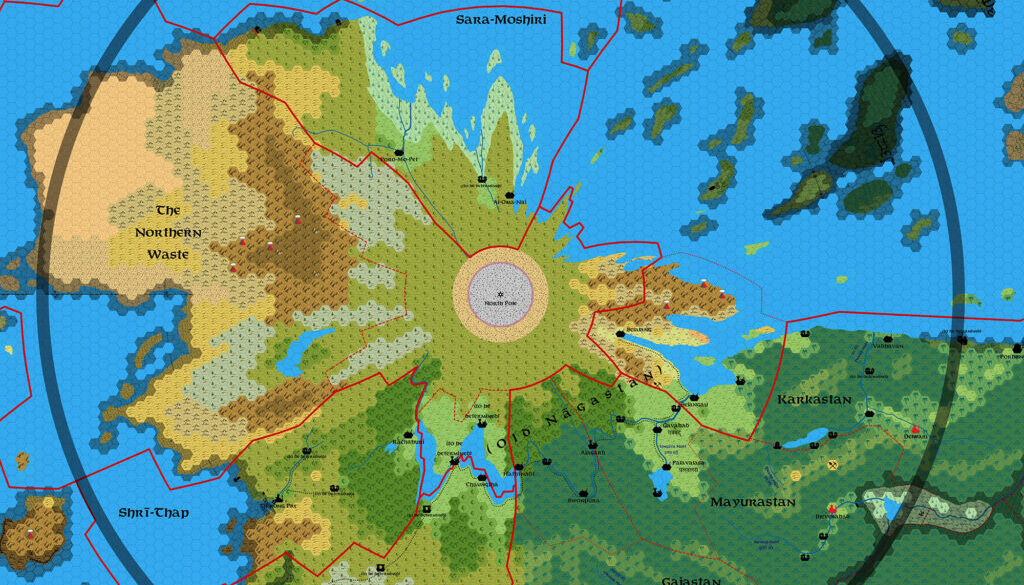
WORK IN PROGRESS! DRAFT VERSION! Patera, North Polar region. One hex equals eight miles.
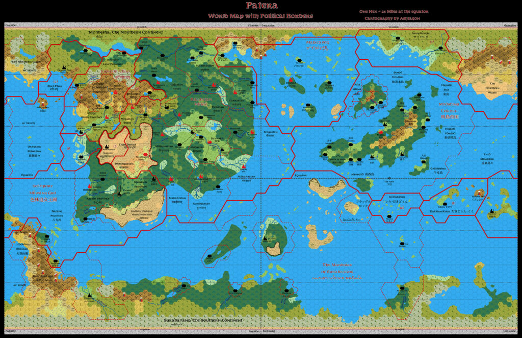
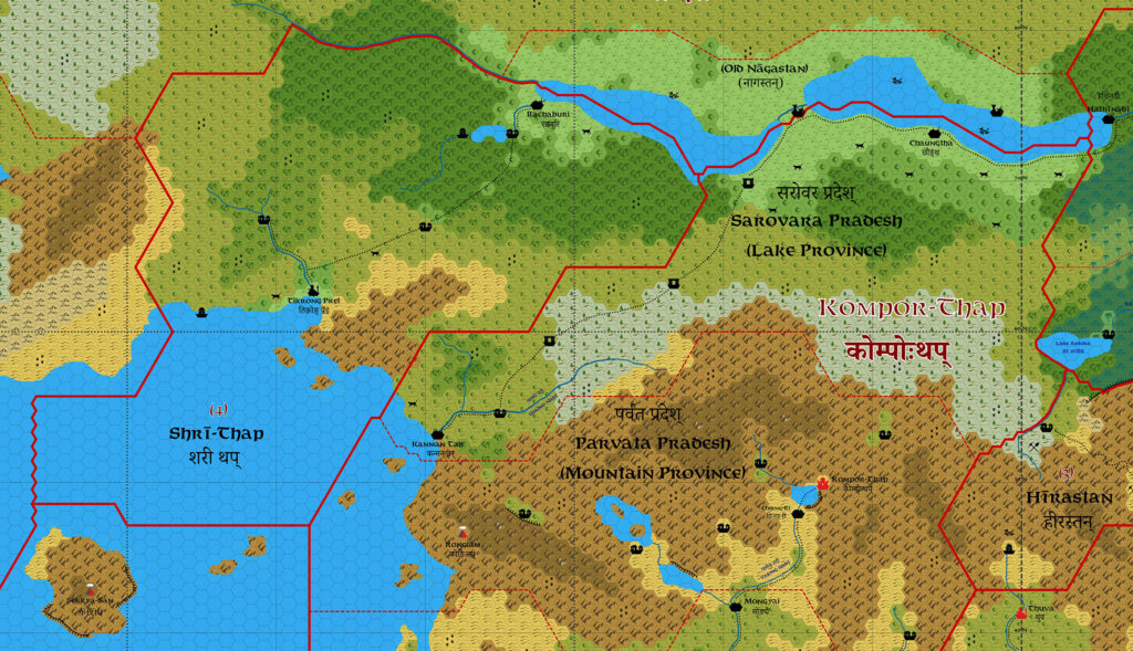
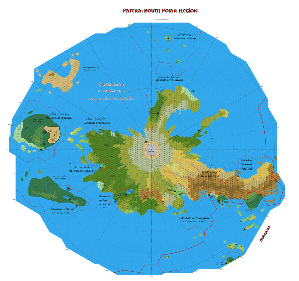
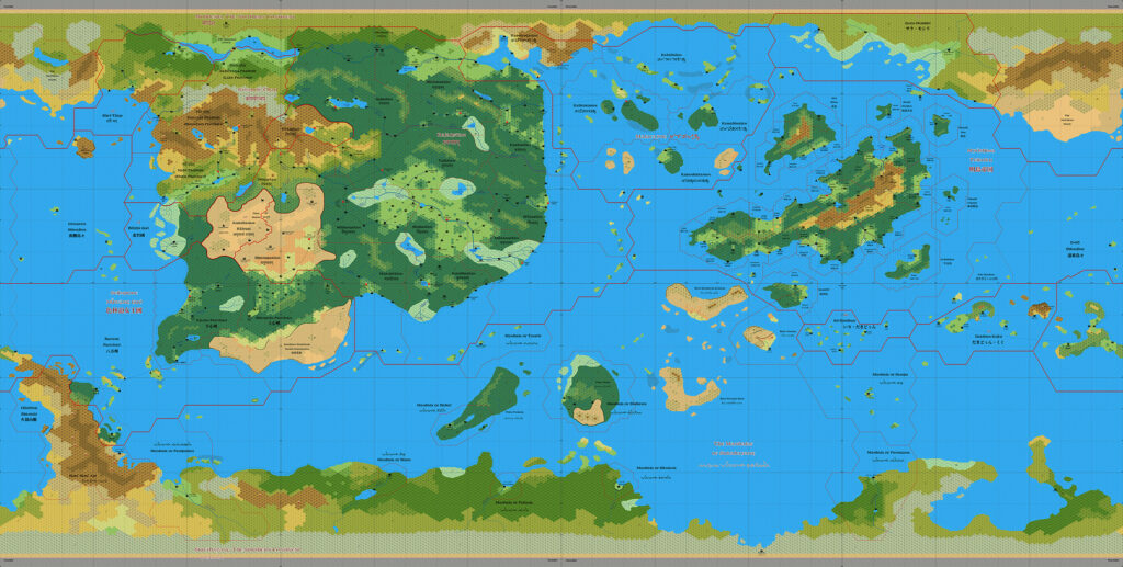
Previous versions of the Patera maps have been in a equirectangular (aka plate careé) projection, which greatly distorts distances at the north and south pole. This map is centred on the north pole, and corrects for the map distortion. The broad grey line is just south of the 50° north latitude line. “Up” on this map is towards the Mystara-facing side of Patera.
Basically, she re-projected the full world map into a Polar Azimuthal Equidistant projection, in this case centred on the North Pole. Then, she worked up this map as a separate hex map, in the process fixing many of the more egregious distortions caused by trying to map a sphere to a rectangle. In layman’s terms, this causes a sort of starburst effect, with long lines pointing away from the pole.
Emma elected to keep the base terrain largely as is, so that the starburst effect, though much reduced through clever placement of terrain, is nonetheless still clearly visible.
This work-in-progress version gave a clear view into her mapping process, as she first traced the seas and terrain, then finally drew in the coastlines. It would be another eight months before this map reached a stage of completion.
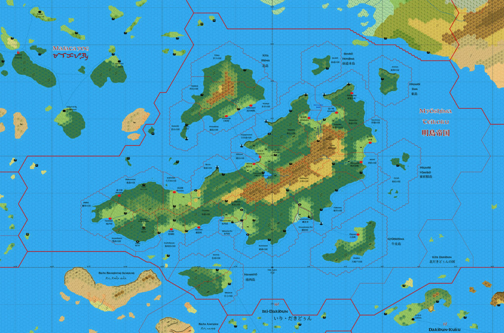
Fan-made Map by Emma Rome (November 2025)
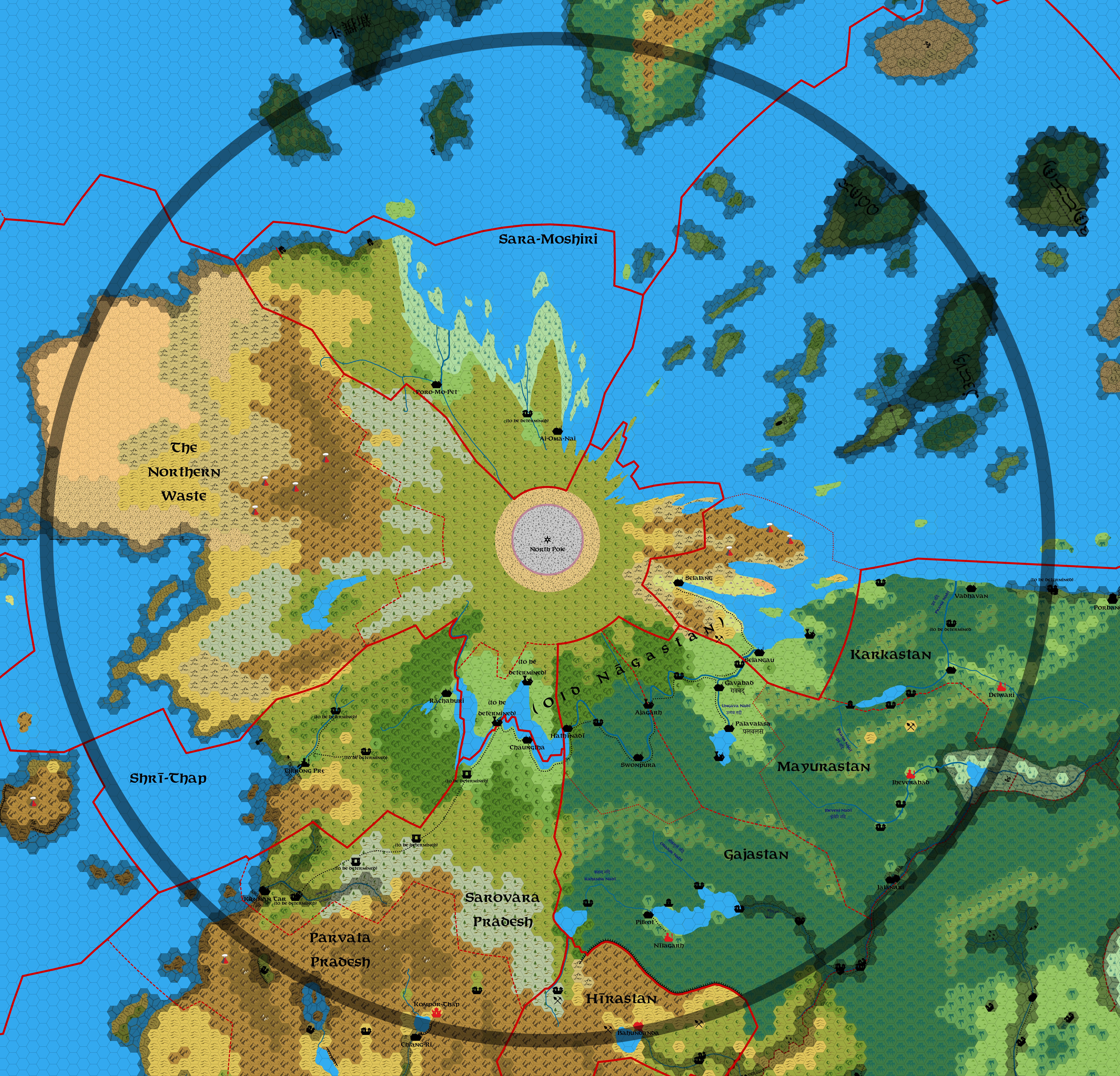
This is an original map created by one of Mystara’s excellent fan cartographers. For more information on the cartographer, including a gallery of all their maps, see also Appendix M: Mappers of Mystara.
Work in progress map: This map is incomplete. It appears here in the most recent state available, but it may be missing certain elements.
Sources
Fan Sources
- Ashtagon’s Patera, 24 miles per hex v2 (September 2025)
- Ashtagon’s Patera, 8 miles per hex (unpublished preview version, November 2025)
References
- All of Emma’s maps at the Atlas of Mystara
- Emma’s entry in Appendix M: Mappers of Mystara (upcoming)
- Emma’s author page at the Vaults of Pandius
Chronological Analysis
This is a fan-made map. It was published in November 2025. The updated Atlas version of this map is not yet available. See also Appendix C for annual chronological snapshots of the area. For the full context of this map in Mystara’s publication history, see the upcoming Let’s Map Mystara 2025.
The following lists are from the Let’s Map Mystara project. Additions are new features, introduced in this map. Revisions are changes to previously-introduced features. Hex Art & Fonts track design elements. Finally, Textual Additions are potential features found in the related text. In most cases, the Atlas adopts these textual additions into updated and chronological maps.
Under Construction! Please check back again soon for updates.