")
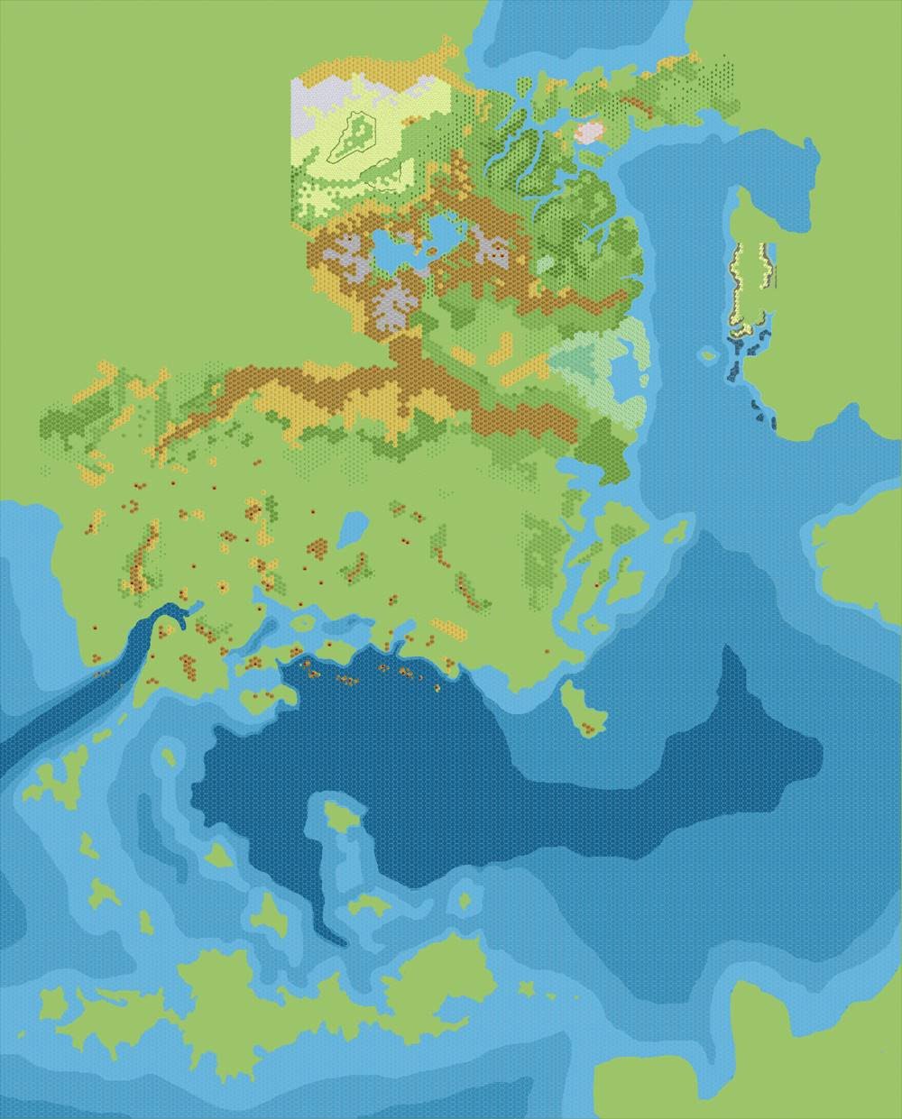
Chimpman’s Known World 2300 BC, 8 miles per hex Working Coastlines v2
This map follows on directly from the first version, adding the a basic terrain layer. Parts of this were already complete, since John had already released his Shimmering Lands map months before. Most likely, he imported his terrain layer from another file. He was also working on multiple areas at this time, because his first work-in-progress Frontierlands map (now lost) dates to the day before this one.
These two Working Coastlines maps were clearly work-in-progress, incomplete maps. But they were important stepping stones on the journey to a complete set of 2300 BC maps, and the coastlines and terrain shapes established here would endure throughout the project.
Fan-made Map by John Calvin (September 2009)
This is an original map created by one of Mystara’s excellent fan cartographers. For more information on the cartographer, including a gallery of all their maps, see also Appendix M: Mappers of Mystara.
Sources
- PC3 The Sea People (1990) (PDF at DriveThruRPG)
Fan Sources
- Chimpman’s Known World, 8 miles per hex Master Template (September 2009)
- Chimpman’s Known World, 8 miles per hex Coastlines (September 2009)
- Chimpman’s Known World, 8 miles per hex Coastlines with Cities (September 2009)
- Chimpman’s Known World 2300 BC, 8 miles per hex Working Coastlines v1 (September 2009)
- Historical Mapping in the KW and Sea of Dread discussion thread at The Piazza (September 2009-October 2010)
References
- All of John’s maps at the Atlas of Mystara
- John’s entry in Appendix M: Mappers of Mystara (upcoming)
- John’s author page at the Vaults of Pandius
Chronological Analysis
This is a fan-made map. It was published in September 2009. The updated Atlas version of this map is not yet available. See also Appendix C for annual chronological snapshots of the area. For the full context of this map in Mystara’s publication history, see the upcoming Let’s Map Mystara 2009.
The following lists are from the Let’s Map Mystara project. Additions are new features, introduced in this map. Revisions are changes to previously-introduced features. Hex Art & Fonts track design elements. Finally, Textual Additions are potential features found in the related text. In most cases, the Atlas adopts these textual additions into updated and chronological maps.
Under Construction! Please check back again soon for updates.
")
")
")