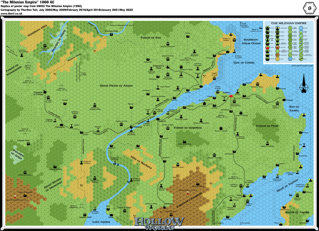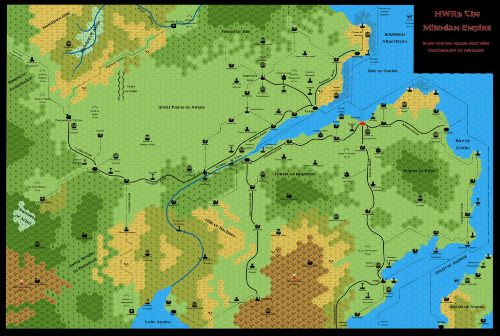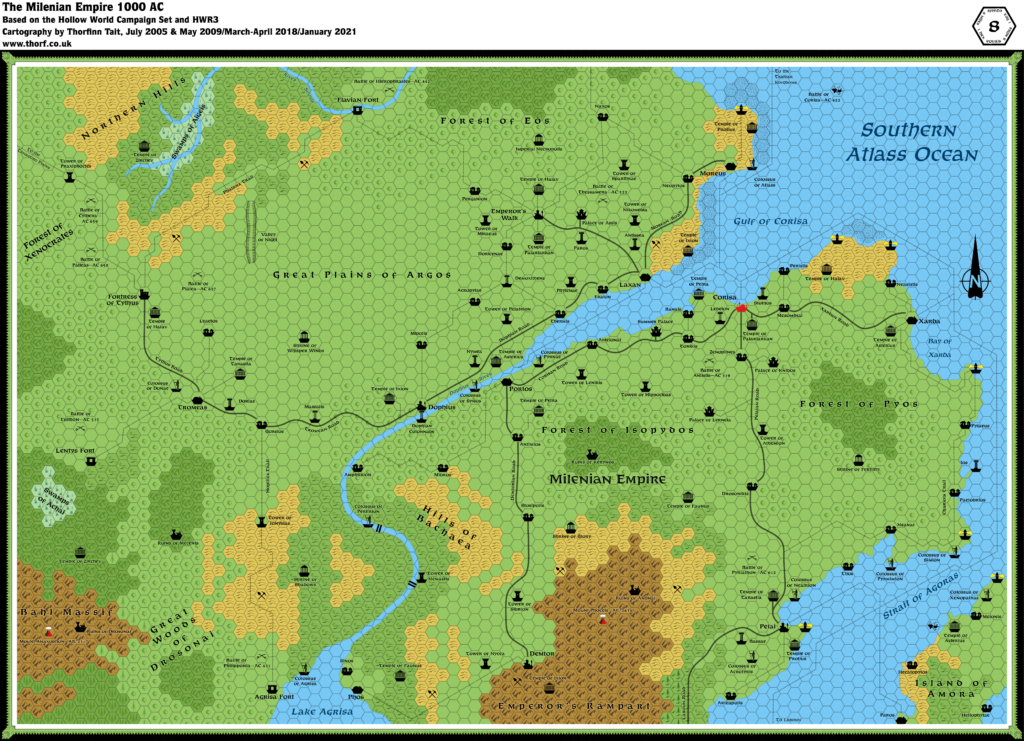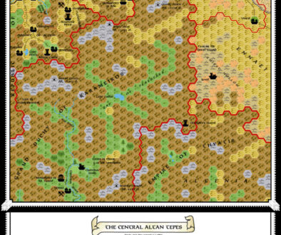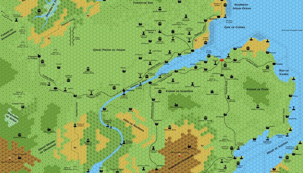
HWR3 Milenian Empire, 8 miles per hex
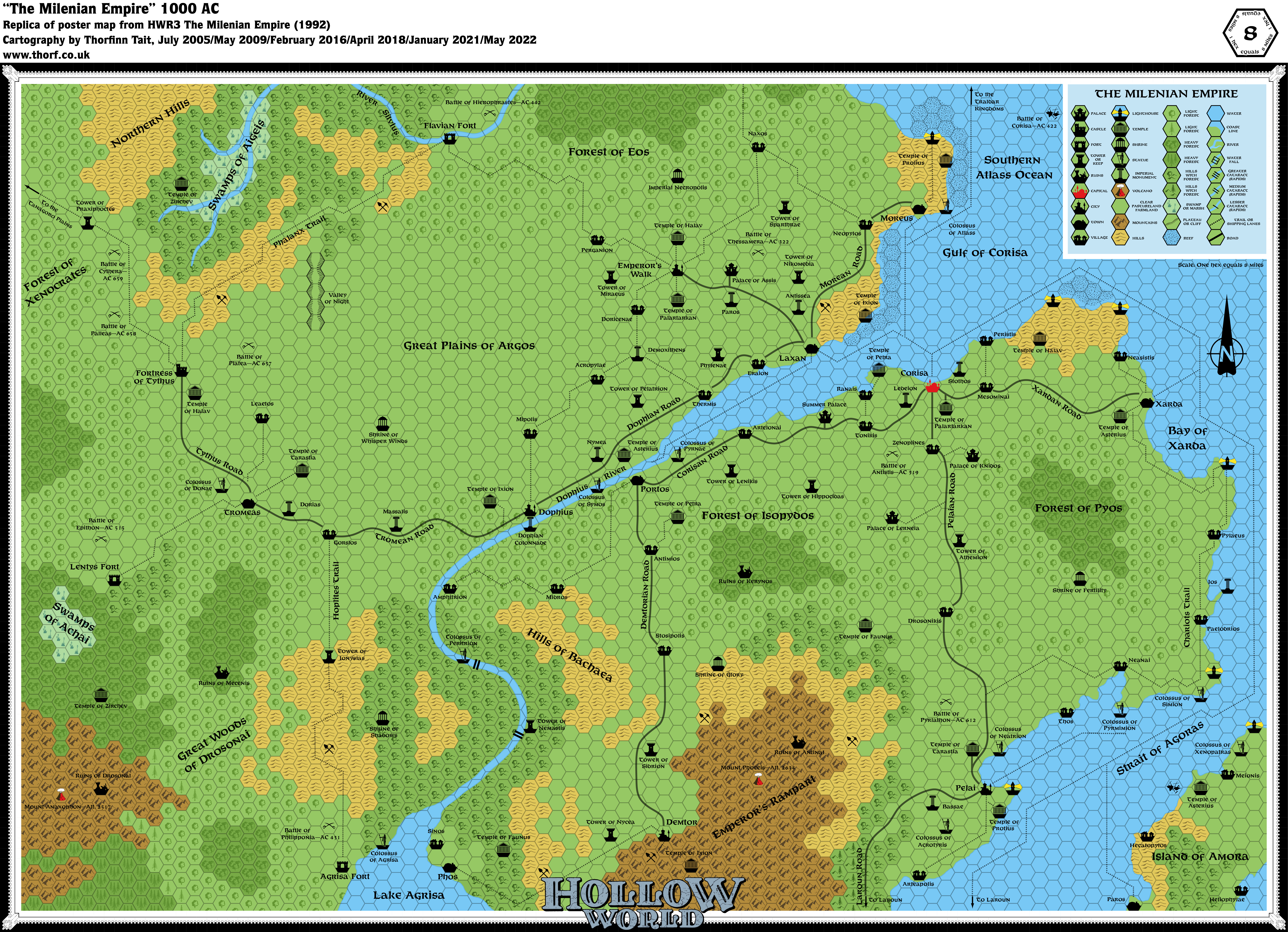
The last of the Hollow World resource books provided a final 8 mile hex map of the Milenian Empire. As with all the other Hollow World maps, no borders are included, though it’s clear that this is another large and sprawling nation. As with Azca before it, Milenia is too large to fit on this single poster map.
The map’s main innovation was new hex art, with symbols for shrines, temples, monuments and statues, as well as evergreen forest hexes.
Replica Map (May 2022)
Sources
- HWR3 The Milenian Empire (1992) (PDF at DriveThruRPG)
- Poster map (Cartography by Dennis Kauth)
Chronological Analysis
This is Map 198. It was published in September 1992. The updated version of this map is Milenia, 8 miles per hex. See also Appendix C for annual chronological snapshots of the area. For the full context of this map in Mystara’s publication history, see Let’s Map Mystara 1992.
The following lists are from the Let’s Map Mystara project. Additions are new features, introduced in this map. Revisions are changes to previously-introduced features. Hex Art & Fonts track design elements. Finally, Textual Additions are potential features found in the related text. In most cases, the Atlas adopts these textual additions into updated and chronological maps.
Under Construction! Please check back again soon for updates.
This article was originally published 8th May 2018.