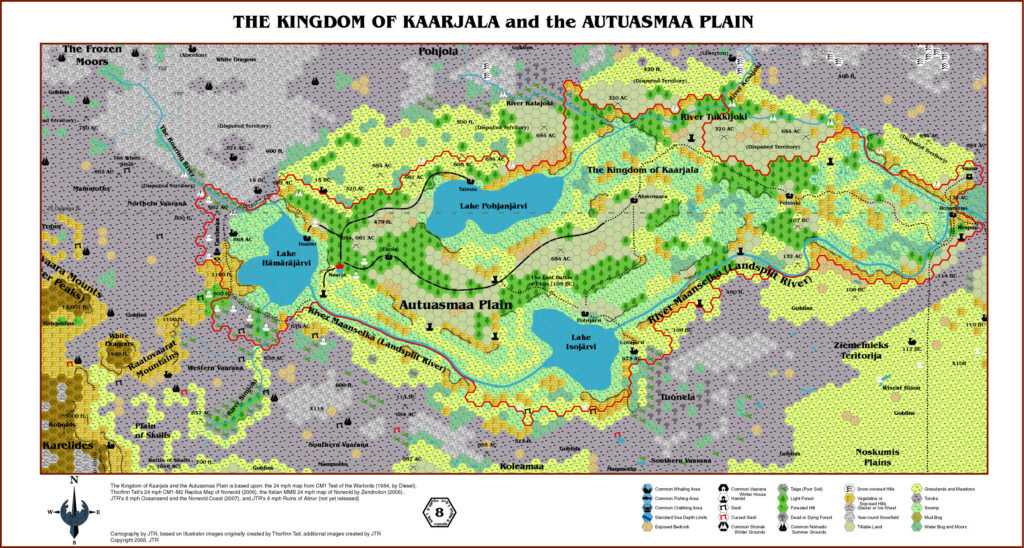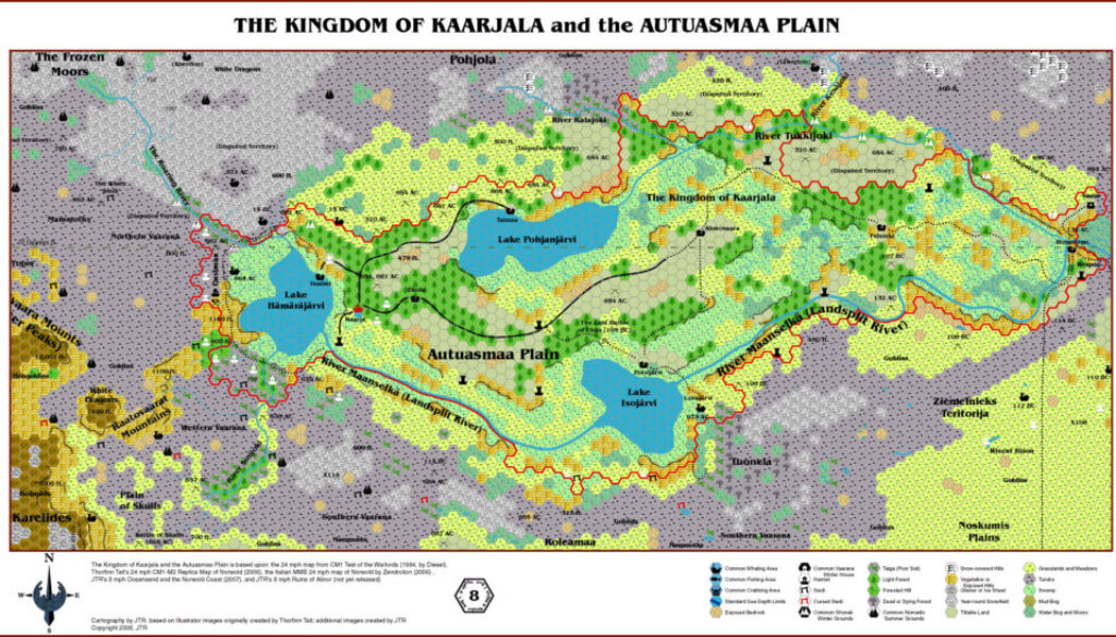
JTR’s Kaarjala, 8 miles per hex
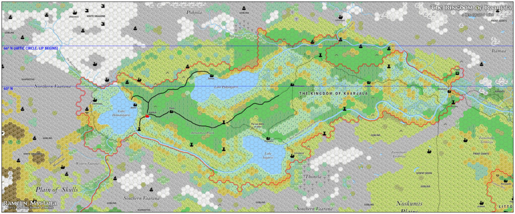
Gaz F10 would be the last in the series, and JTR once again collaborated with Geoff Gander to produce, with Geoff writing and JTR editing. The subject was Kaarjala, a kingdom set around the Landsplit Rivers in northern Norwold, originally created by James Mishler. This was the first time for the region to be mapped out at this level of detail.
In a very nice touch, JTR combined James Mishler’s ideas for the nation of Kaarjala with Simone Neri and the Italian community’s geographical names for the region, bringing both versions together for the first time.
Fan-made Map by JTR (July 2008)
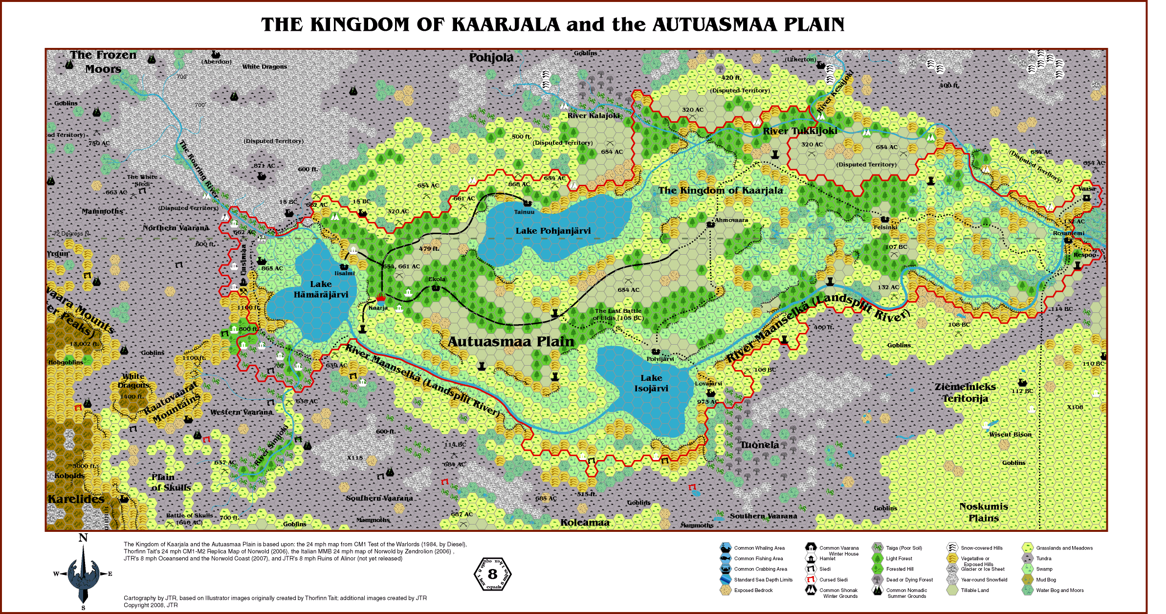
This is an original map created by one of Mystara’s excellent fan cartographers. For more information on the cartographer, including a gallery of all their maps, see also Appendix M: Mappers of Mystara.
Sources
- CM1 Test of the Warlords (1984) (PDF at DriveThruRPG)
Fan Sources
- Atlas of Mystara (2005-)
- Zendrolion’s Norwold, 24 miles per hex v1.7 (March 2007)
- Gaz F9 The Free City of Oceansend (22 November 2007)
- JTR’s Ruins of Alinor, 8 miles per hex (unreleased)
References
- All of JTR’s maps at the Atlas of Mystara
- JTR’s entry in Appendix M: Mappers of Mystara (upcoming)
- JTR’s author page at the Vaults of Pandius
Chronological Analysis
This is a fan-made map. It was published in July 2008. The updated Atlas version of this map is not yet available. See also Appendix C for annual chronological snapshots of the area. For the full context of this map in Mystara’s publication history, see the upcoming Let’s Map Mystara 2008.
The following lists are from the Let’s Map Mystara project. Additions are new features, introduced in this map. Revisions are changes to previously-introduced features. Hex Art & Fonts track design elements. Finally, Textual Additions are potential features found in the related text. In most cases, the Atlas adopts these textual additions into updated and chronological maps.
Coming Soon