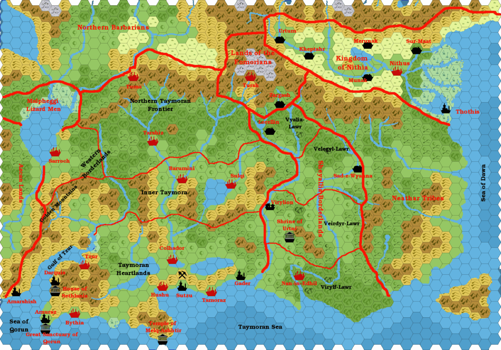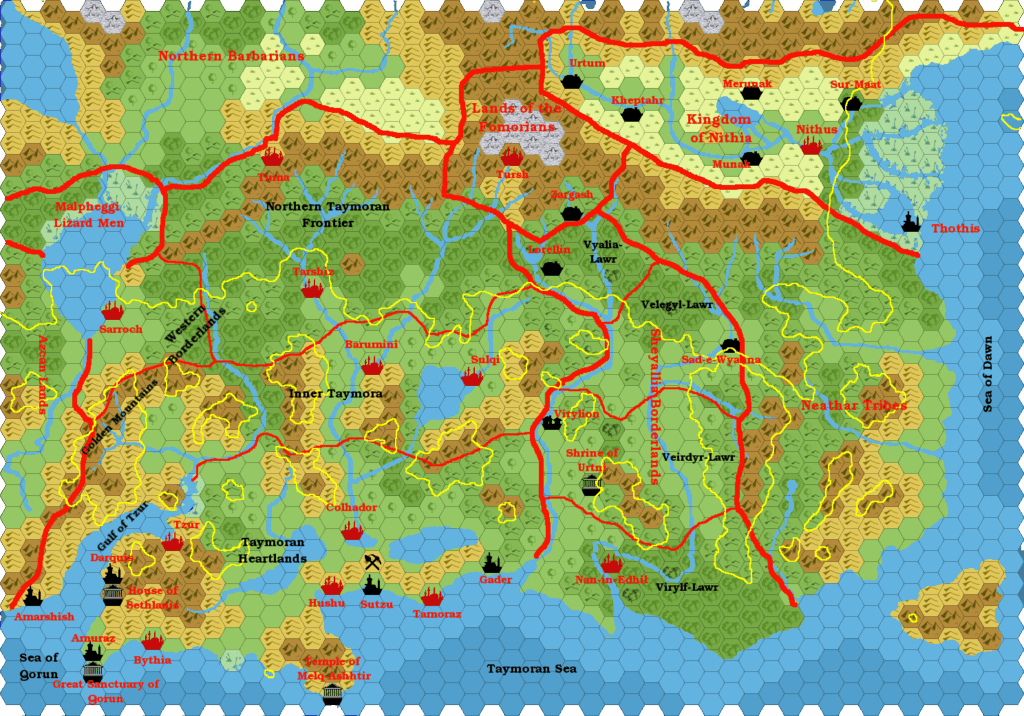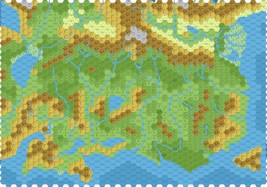
Chimpman’s Taymora 2300 BC, 24 miles per hex Cities
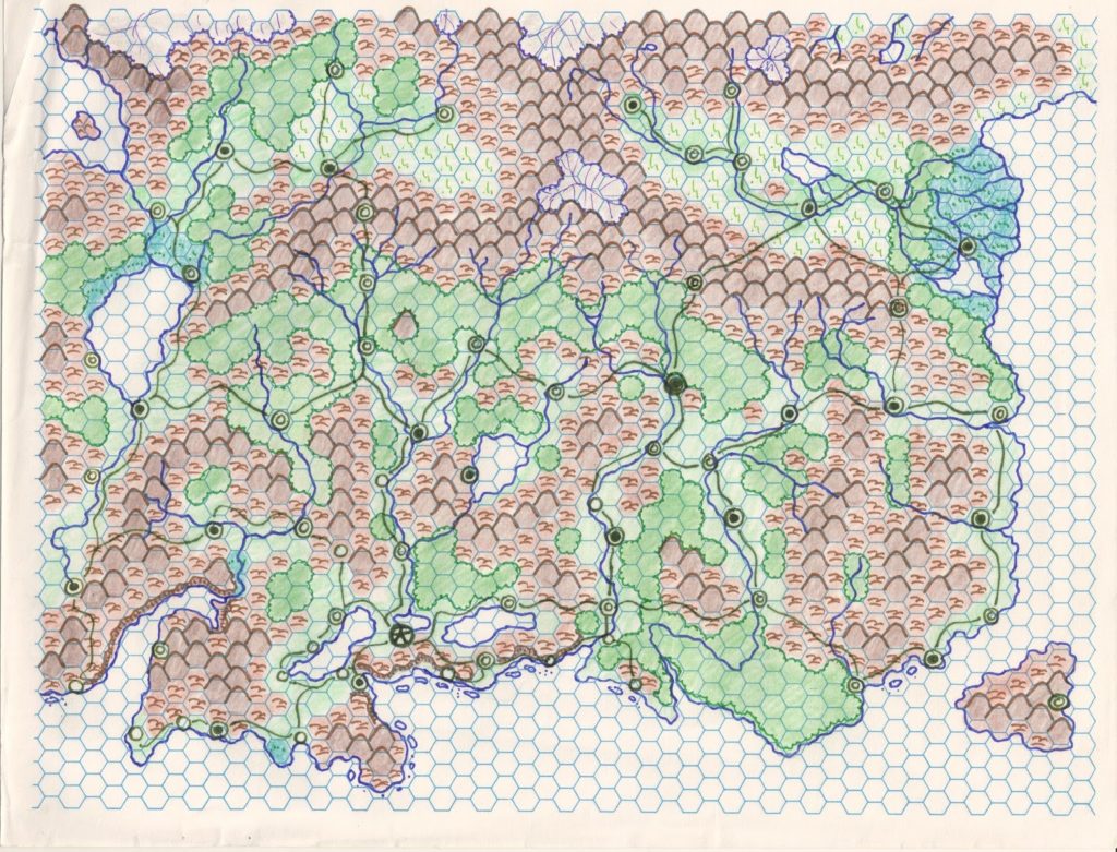
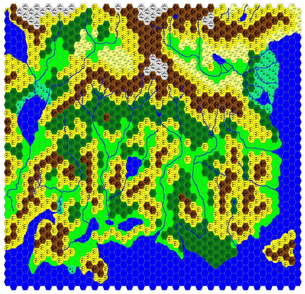
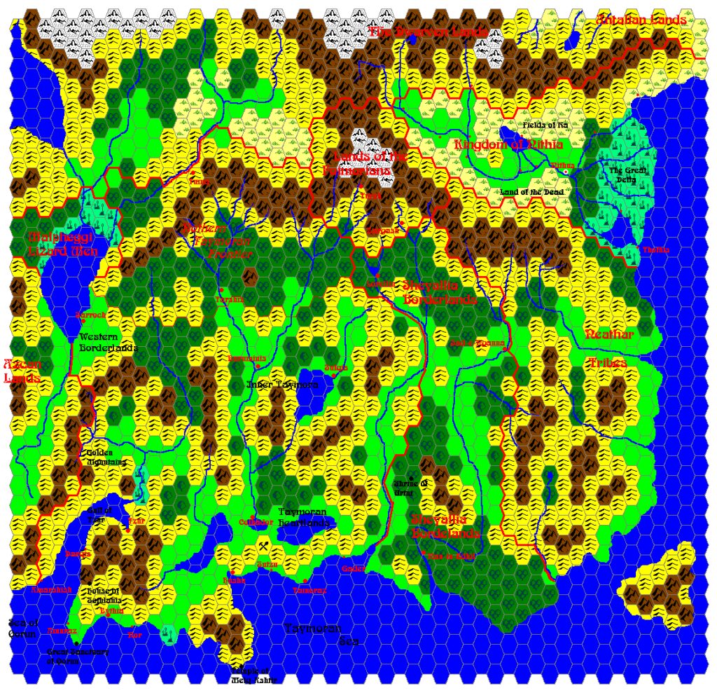
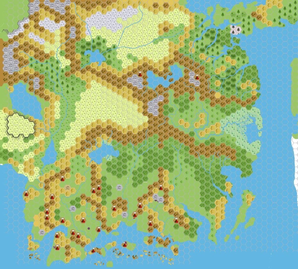
John posted his first version of this map as early as February 2009, shortly after he shared his first Taymora 2300 BC map. Unfortunately, both maps are now lost to us. He explained the differences between the Taymora map and this version with cities marked:
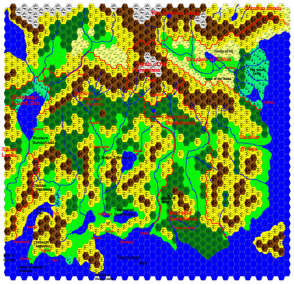
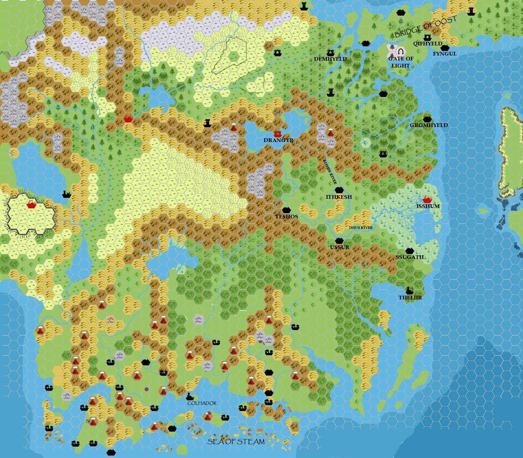
My eyes must have been pretty tired last night because I missed quite a few underwater ruins while I was devising my shoreline. I’ve revised it in this map, and included the ruins (now shown as cities in black).
So this map had a revised shoreline, and settlements placed where ruins appear on PC3’s map. He returned to these maps in March:
I’ve updated my KW_2300BC and KW_Cities_2300BC maps. I’ve made several changes, including replacing the Taymoran cities with their appropriate icons (most were villages). The only actual city is Colhador …
We still have the former map: the second version of Taymora 2300 BC, though the Cities variant is lost. From John’s description, we can deduce that the first version had mostly village icons, while this one had a mix. Finally, John updated it to a third version in August:
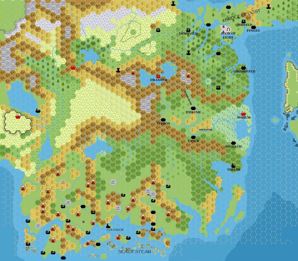
Just a small update, but based on Geoff’s Mogreth thread I have updated the following map: Taymora BC 2300 with cities.
This is the version that appears below.
From all of this, it seems likely that the second version included none of the Mogreth settlements on this map, and likely none of the names — version 2 used Papyrus (Colhador, Bridge of Oost), while the Times labels were probably new in this third version.
Content-wise, John stated that he based his settlement locations on PC3, as we would expect. He took the ruins from the modern day and extrapolated them into ancient settlements. This was exactly the kind of link that made Mystara 2300 BC at once familiar but also foreign and new for longtime Mystara fans.
Fan-made Map by John Calvin (August 2009)
This is an original map created by one of Mystara’s excellent fan cartographers. For more information on the cartographer, including a gallery of all their maps, see also Appendix M: Mappers of Mystara.
Sources
- GAZ4 The Kingdom of Ierendi (1987) (PDF at DriveThruRPG)
- GAZ9 The Minrothad Guilds (1988) (PDF at DriveThruRPG)
- Hollow World Campaign Set (1990) (PDF at DriveThruRPG)
- PC3 The Sea People (1990) (PDF at DriveThruRPG)
Fan Sources
- Chimpman’s Taymora 2300 BC, 24 miles per hex (March 2009)
- Outer World: Taymora 2300 BC, 24 miles per hex discussion thread at The Piazza (March 2009)
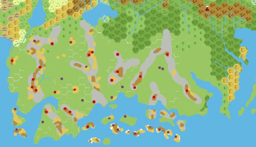
- Chimpman’s Taymora 2300 BC, 24 miles per hex Mountains (March 2009)
References
- All of John’s maps at the Atlas of Mystara
- John’s entry in Appendix M: Mappers of Mystara (upcoming)
- John’s author page at the Vaults of Pandius
Chronological Analysis
This is a fan-made map. It was published in August 2009. The updated Atlas version of this map is not yet available. See also Appendix C for annual chronological snapshots of the area. For the full context of this map in Mystara’s publication history, see the upcoming Let’s Map Mystara 2009.
The following lists are from the Let’s Map Mystara project. Additions are new features, introduced in this map. Revisions are changes to previously-introduced features. Hex Art & Fonts track design elements. Finally, Textual Additions are potential features found in the related text. In most cases, the Atlas adopts these textual additions into updated and chronological maps.
Under Construction! Please check back again soon for updates.