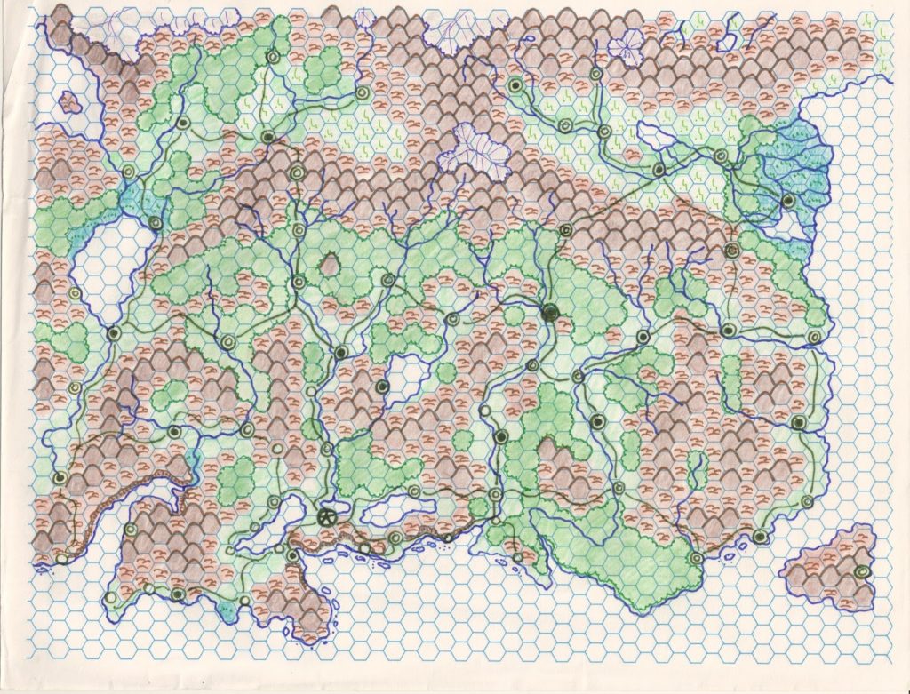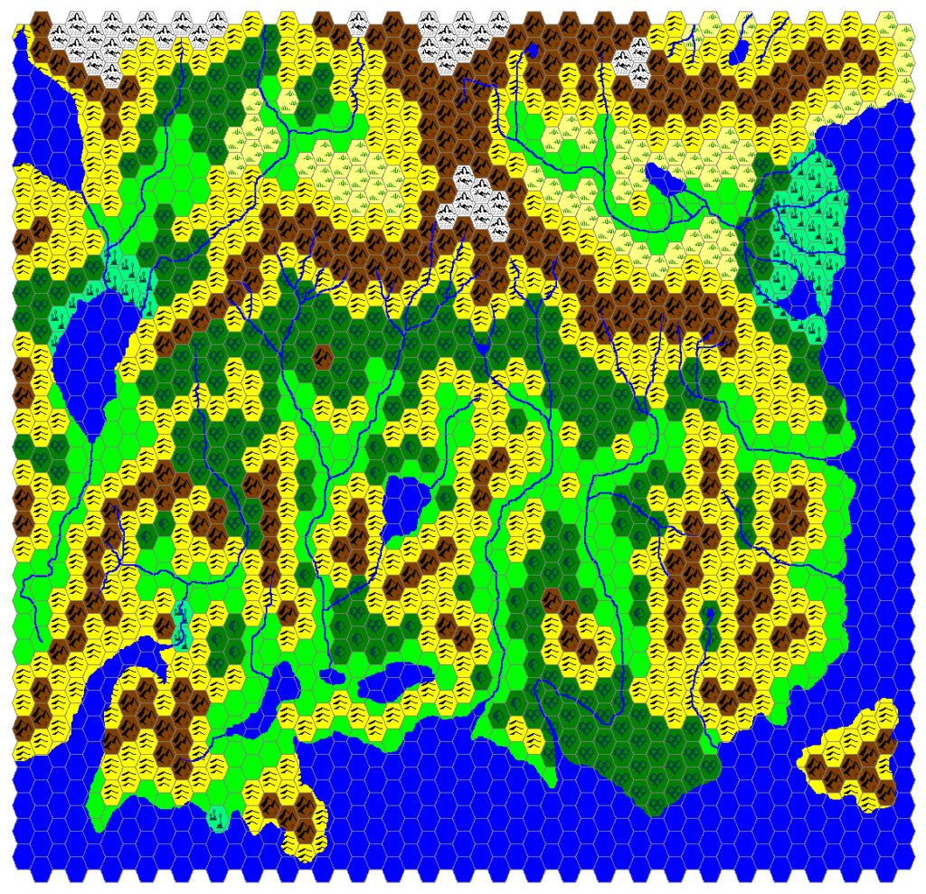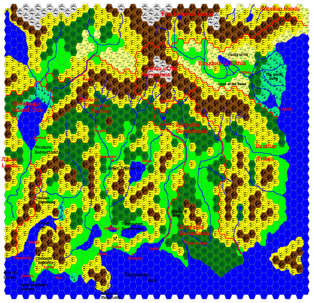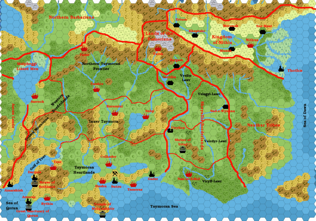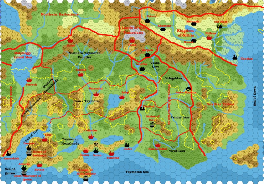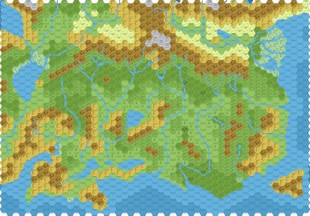
Chimpman’s Taymora 2300 BC, 24 miles per hex Mountains
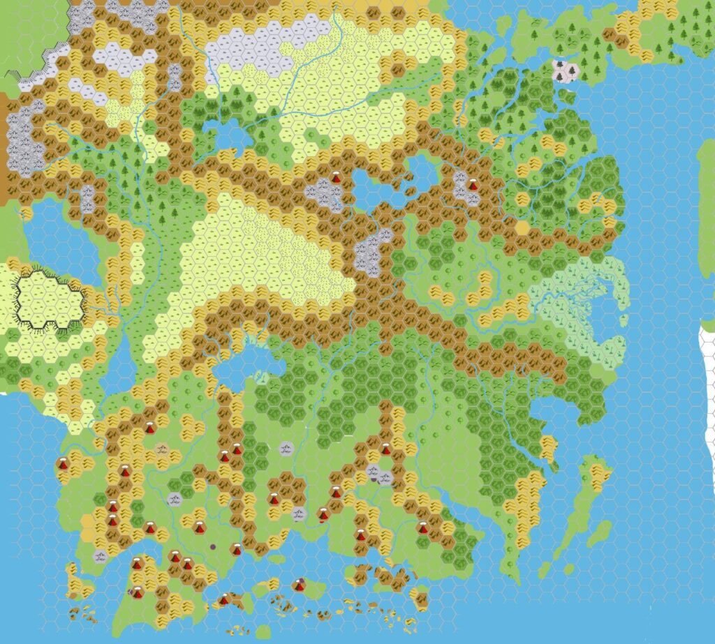
This working map came between the original version and the revised version of John’s Taymora map. It exposes his thought processes behind Taymora’s terrain rather well, and he gave a detailed explanation in his post at The Piazza. Some highlights:
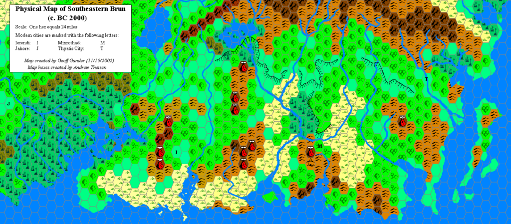
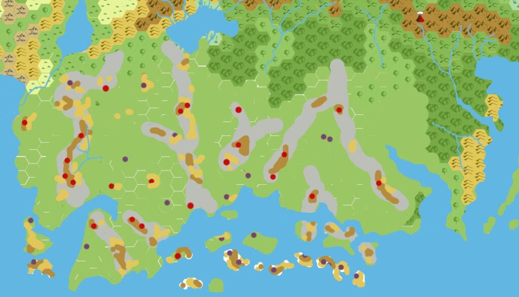
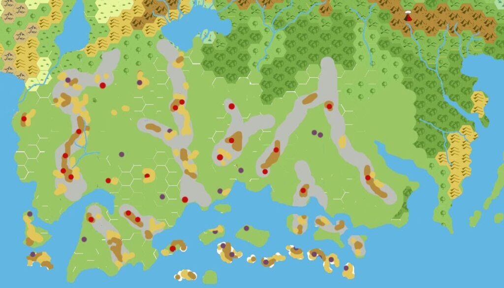
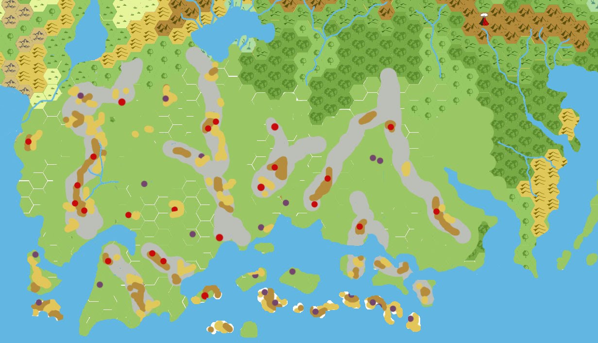
I finally bit the bullet and did an overlay of three maps – PC3, Ierendi, and Minrothad, and using that I colored in all the mountains and hills that I could find (both above and below the sea). This map should illustrate that. It’s not pretty, and I removed everything extraneous in order to see the mountains better. … the mountains and hills are colored brown and tan respectively).
… the PC3 map has two icons for volcanoes, one red and one purple. The reds … reach from the sea floor to pierce the waves forming islands. These I’ve marked with red spots on the above map.
The purple volcanoes … may be very similar to the red icons (and just not pierce the surface) or they may be some other form of volcanic activity. PC3 mentions vents that spew forth either lava or super heated air (pg 45) as well as typical cones. It’s probably a good bet that Mt Dread and Black Kelp Peak are both conicals that don’t pierce the surface, but Sea Pit and Old Boiler might be something else entirely. I’ve marked these volcanoes in purple … .
There are several mountain ranges within the abyss. I’ve added these in as islands (very roughly), but will probably go back and clean them up so that there are many smaller islands rather than the several rather large ones.
Finally I’ve traced out in gray the paths of various mountain ranges that I think might be likely.
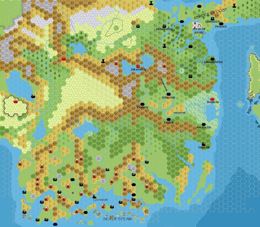
It’s quite clear that the results of this detailed survey are what we can see in his mid-March 2009 Taymora map. It’s a shame that the original version is lost to us — although from this map, we can guess that it contained only the coastlines and plain green lands shown here.
Fan-made Map by John Calvin (March 2009)
This is an original map created by one of Mystara’s excellent fan cartographers. For more information on the cartographer, including a gallery of all their maps, see also Appendix M: Mappers of Mystara.
Sources
- GAZ4 The Kingdom of Ierendi (1987) (PDF at DriveThruRPG)
- GAZ9 The Minrothad Guilds (1988) (PDF at DriveThruRPG)
- Hollow World Campaign Set (1990) (PDF at DriveThruRPG)
- PC3 The Sea People (1990) (PDF at DriveThruRPG)
Fan Sources
- Chimpman’s Taymora 2300 BC, 24 miles per hex (March 2009)
- Outer World: Taymora 2300 BC, 24 miles per hex discussion thread at The Piazza (March 2009)
References
- All of John’s maps at the Atlas of Mystara
- John’s entry in Appendix M: Mappers of Mystara (upcoming)
- John’s author page at the Vaults of Pandius
Chronological Analysis
This is a fan-made map. It was published in March 2009. The updated Atlas version of this map is not yet available. See also Appendix C for annual chronological snapshots of the area. For the full context of this map in Mystara’s publication history, see the upcoming Let’s Map Mystara 2009.
The following lists are from the Let’s Map Mystara project. Additions are new features, introduced in this map. Revisions are changes to previously-introduced features. Hex Art & Fonts track design elements. Finally, Textual Additions are potential features found in the related text. In most cases, the Atlas adopts these textual additions into updated and chronological maps.
Under Construction! Please check back again soon for updates.