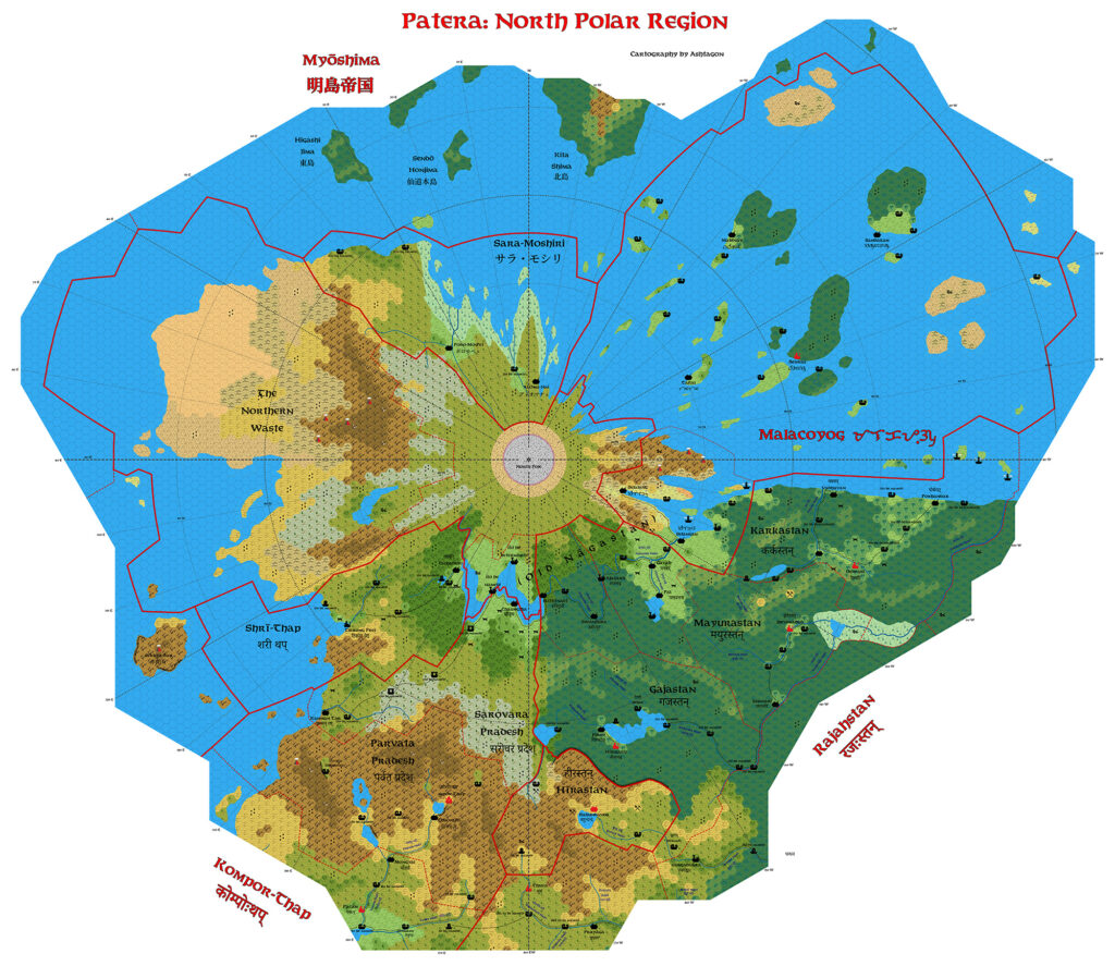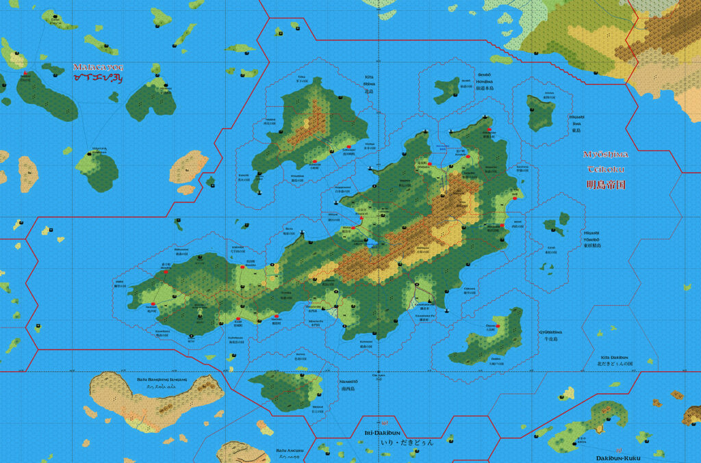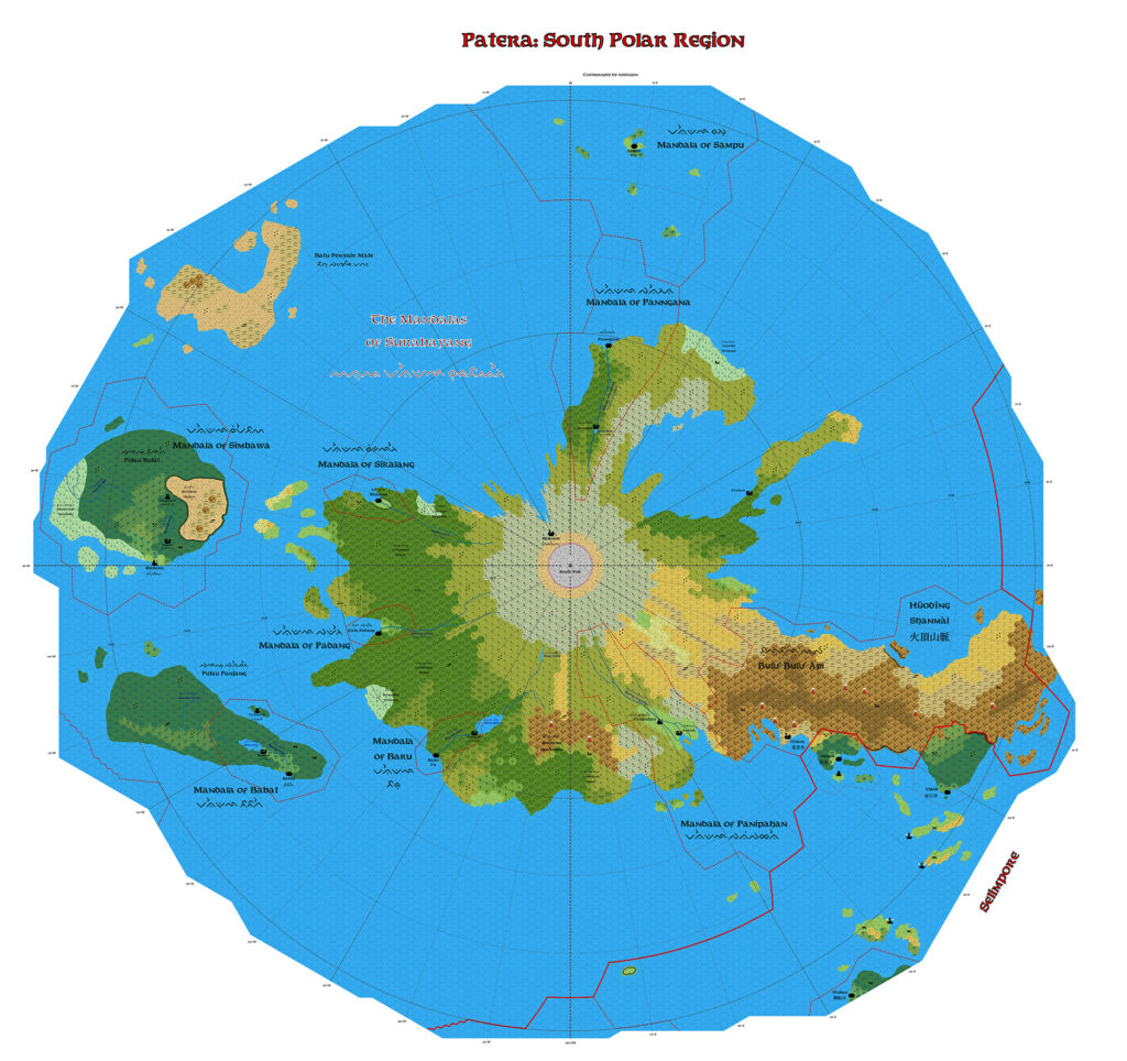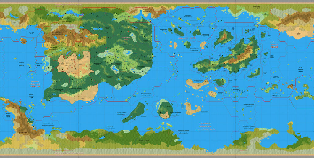
Ashtagon’s Patera North Pole, 8 miles per hex v2
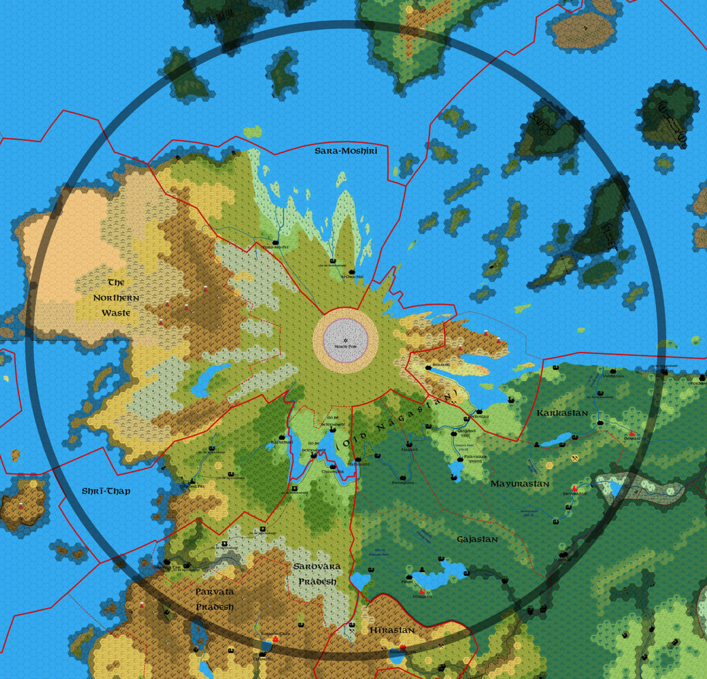
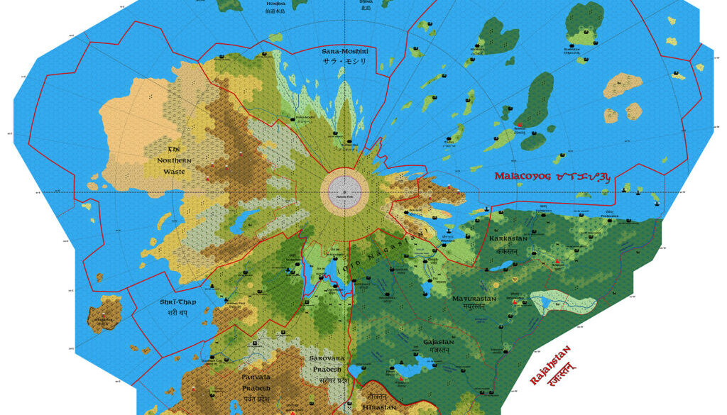
By May 2026, Emma was far along in her Patera, 8 mile per hex mapping project. She first posted an update to the North Pole map, then the almost finished map in June. She explained in her post at DeviantArt:
Update: All terrain physical features completed. Corrected longitude line labels (east and west had been mixed up). To do: Some settlements need to be named. Settlements have not yet been added to the Myoshima portion of the map.
All the most important parts of the map (those that suffer from extreme warping on the Equirectangular world map) were complete in this version, with cropping to limit coverage to those areas and their immediate surroundings. Emma also added labelling of latitudes and longitudes throughout.
This is a very effective and useful map, of a type that has historically been quite rare in Mystara maps. Now that the tools to make maps such as this are becoming more and more accessible to the community, we can expect to see an increase in maps in different projections in the near future — and Emma is at the forefront of this push.
With the North Pole near completion, Emma next turned her attention to the South Pole, before completion of the overall world map.
Fan-made Map by Emma Rome (June 2026)

This is an original map created by one of Mystara’s excellent fan cartographers. For more information on the cartographer, including a gallery of all their maps, see also Appendix M: Mappers of Mystara.
Sources
Fan Sources
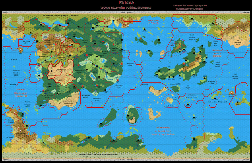
- Ashtagon’s Patera, 24 miles per hex v2 (September 2025)
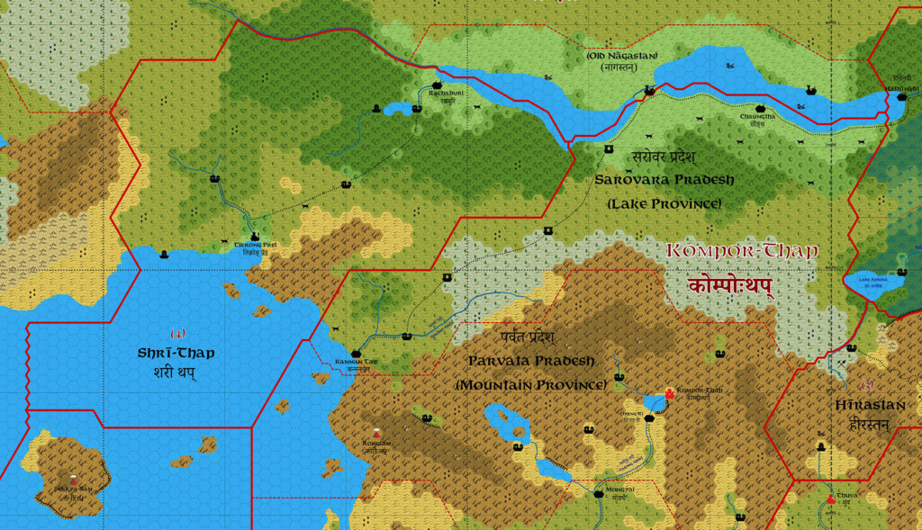
- Ashtagon’s Patera, 8 miles per hex (unpublished preview version, June 2025)
- Ashtagon’s Patera North Pole, 8 miles per hex v1 (November 2015)
- Work in Progress: Patera North Polar Region discussion thread at The Piazza (May 2026)
References
- All of Emma’s maps at the Atlas of Mystara
- Emma’s entry in Appendix M: Mappers of Mystara (upcoming)
- Emma’s author page at the Vaults of Pandius
Chronological Analysis
This is a fan-made map. It was published in June 2026. The updated Atlas version of this map is not yet available. See also Appendix C for annual chronological snapshots of the area. For the full context of this map in Mystara’s publication history, see the upcoming Let’s Map Mystara 2026.
The following lists are from the Let’s Map Mystara project. Additions are new features, introduced in this map. Revisions are changes to previously-introduced features. Hex Art & Fonts track design elements. Finally, Textual Additions are potential features found in the related text. In most cases, the Atlas adopts these textual additions into updated and chronological maps.
Under Construction! Please check back again soon for updates.