")
Ramelin’s Qeodhar, 8 miles per hex v2
Although he had already previewed these changes on his larger Alphatian Empire regional map two months previously, this was Jose’s first update to his original Qeodhar map from 2015. And it’s quite a major update: lots more terrain detailing, including the addition of fjords and an Iceland-like northern coastline.
All in all this was a far more evolved version than the 2015 one. Although still rather empty of settlement, this time it felt like this was by design.
Fan-made Map by Jose Ignacio Ramos Lomelin (March 2018)
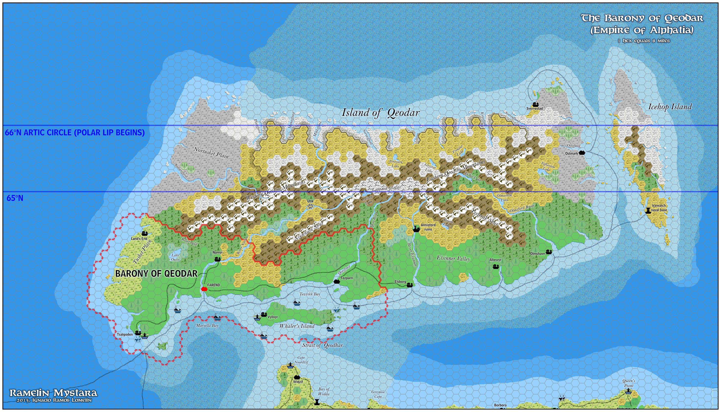
This is an original map created by one of Mystara’s excellent fan cartographers. For more information on the cartographer, including a gallery of all their maps, see also Appendix M: Mappers of Mystara.
Sources
- Dawn of the Emperors (1989) (PDF at DriveThruRPG)
Fan Sources
- Geoff’s Qeodhar, 24 miles per hex (February 2002)
- Ramelin’s Qeodhar, 8 miles per hex v1 (November 2015)
- Ramelin’s Alphatian Empire, 8 miles per hex (January 2018)
References
- All of Jose’s maps at the Atlas of Mystara
- Jose’s entry in Appendix M: Mappers of Mystara (upcoming)
- Jose’s author page at the Vaults of Pandius
Chronological Analysis
This is a fan-made map. It was published in March 2018. The updated Atlas version of this map is not yet available. See also Appendix C for annual chronological snapshots of the area. For the full context of this map in Mystara’s publication history, see the upcoming Let’s Map Mystara 2018.
The following lists are from the Let’s Map Mystara project. Additions are new features, introduced in this map. Revisions are changes to previously-introduced features. Hex Art & Fonts track design elements. Finally, Textual Additions are potential features found in the related text. In most cases, the Atlas adopts these textual additions into updated and chronological maps.
Coming Soon
")

")