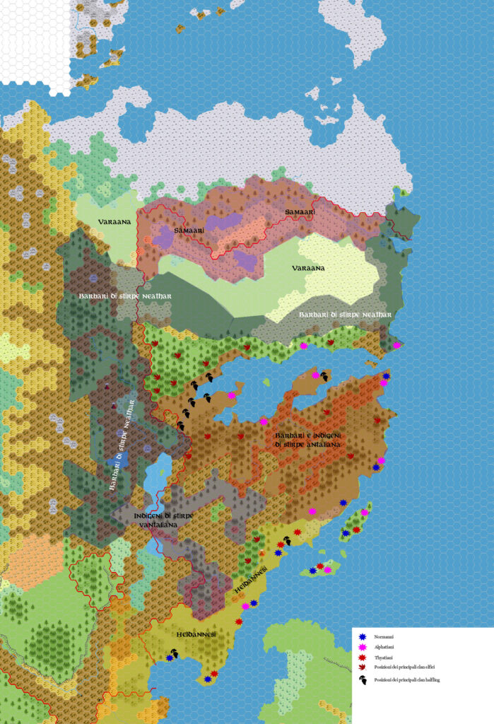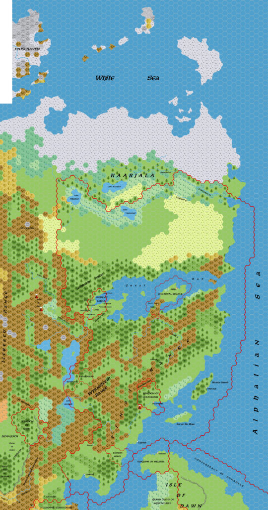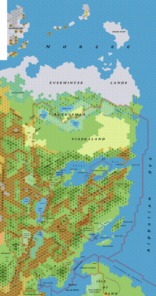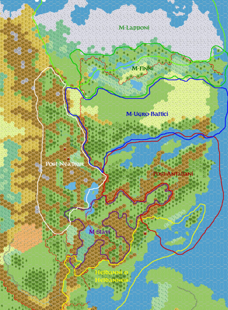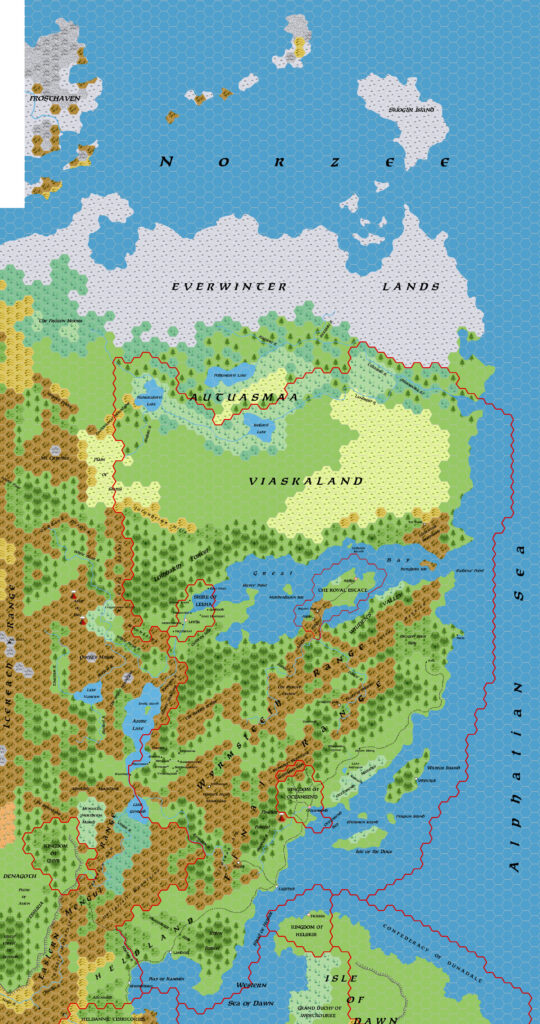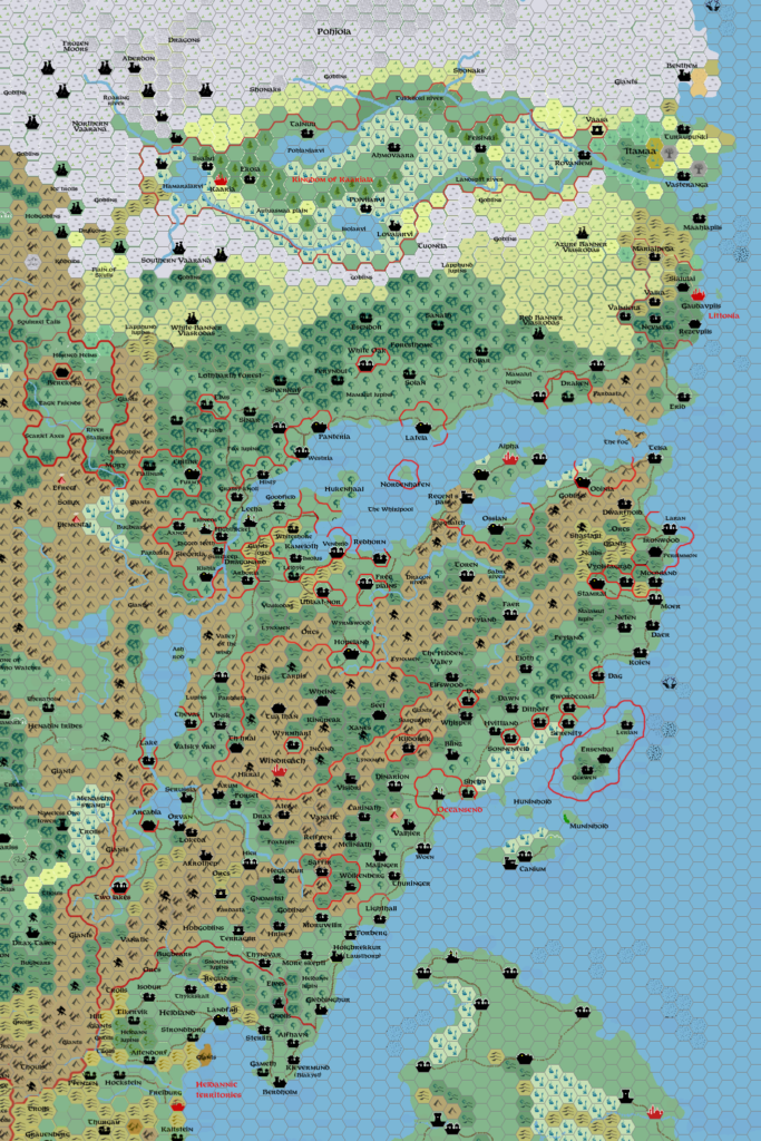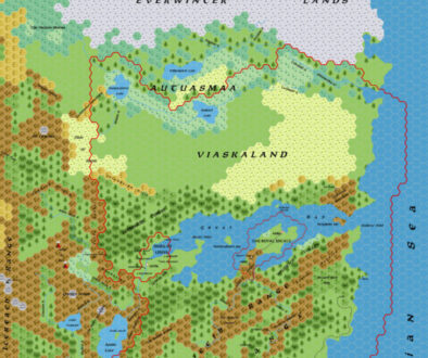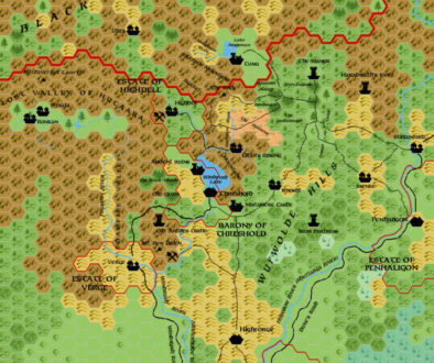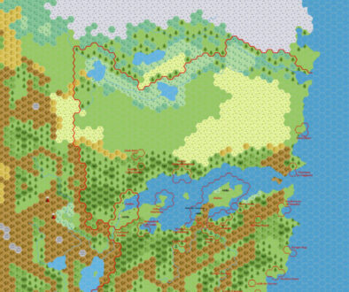
Zendrolion’s Norwold, 24 miles per hex v1.5 Political
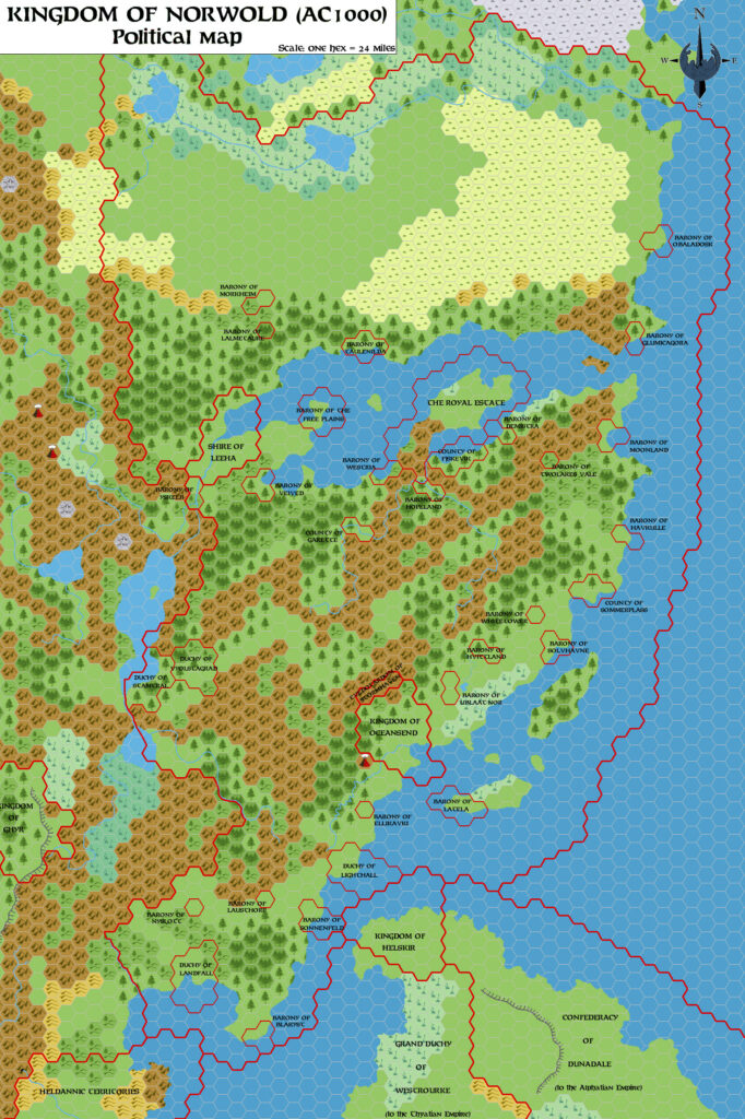
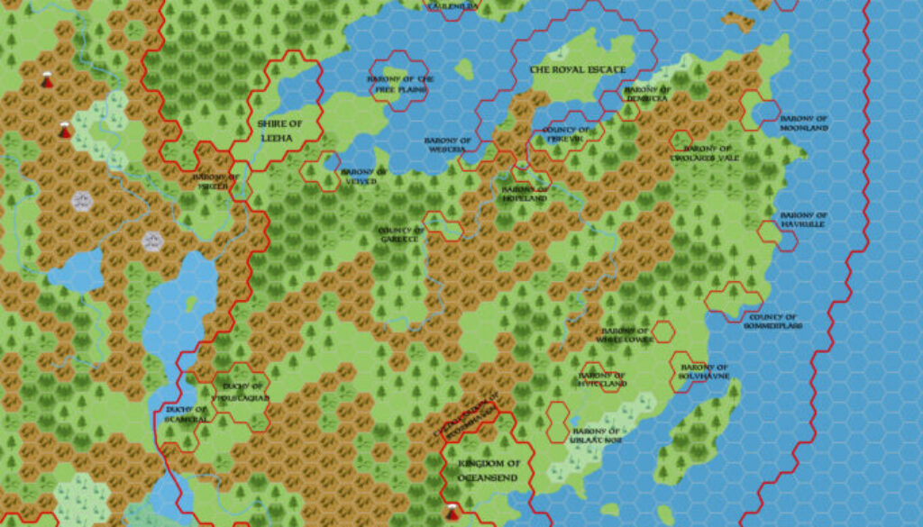
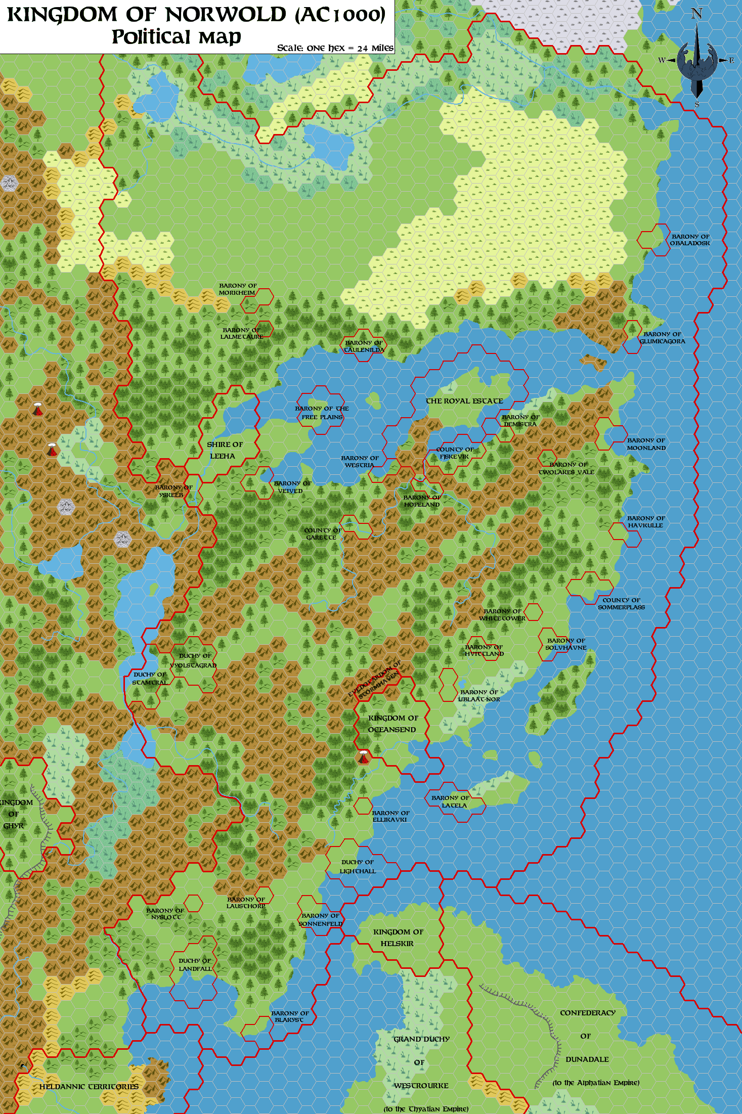
Mirroring his original 1.3 vs. 1.3 political division, Simone created a politically-focused counterpart for his version 1.7 Norwold map. If you’re wondering why this one was labelled 1.5 while its contemporary was 1.7, see the comments on timing in the posts for versions 1.5 and 1.7. To summarise, I believe that initially they were indeed both labelled 1.5 when they were first posted to the MMB in November 2006. The geographical map was then updated twice, while the political map remained at version 1.5.
In any case, this map could be said to come from Simone’s dominion (or “domain”) line of maps, which were a parallel development. He went through three iterations, and this map is in many ways simply an English translation of the last of those maps.
Simone posted this map to his Norwold from the Italian MMB thread at the MMB a week after sharing the geographical version. He posted a short introduction followed by a very nice legend with dominion names, rulers, and sources. I’m including all of this below:
For the sake of completeness, I post here also the political map of Norwold, which shows where we’ve placed the various canonical (or so) fiefdoms. Some of the names of these domains are taken from the Vaults, while a few other are canonical (those in italic in the list below).
List of the Domains of Norwold (AC1000):
Alpha (Royal Estate). Ruler: Ericall, King of Norwold. [CM1 and later products]
Blakyst (Barony of). Ruler: Bardeen Longstrider. [M2]
Demistra (Barony of). Ruler: Mark Acres. [D&D Companion Set]
Ellikavki (Barony of). Ruler: Ethendril h’Caramore. [M5]
Fjskevik (County of). Ruler: Niles Douglass. [D&D Compaion Set]
Free Plains (Barony of the). Ruler: Allisa Patrician. [CM1 and M2]
Garette (County of). Ruler: James Essex. [D&D Companion Set]
Glumicagora (Barony of). Ruler: Claransa the Seer. [CM1 and later products]
Havkulle (Barony of). Ruler: Rutger Dag. [CM1 and later products]
Hopeland (Barony of). Ruler: Ernest Day. [CM1 and M2]
Hvittland (Barony of). Ruler: Trent ‘il Bianco’. [M2]
Lalmetaure (Barony of). Ruler: Quillan Elmgrower. [CM1 and later products]
Landfall (Duchy of). Ruler: Lernal the Swill. [CM1 and later products]
Latela (Barony of). Ruler: Longtooth. [CM1 and M2]
Lausthorp (Barony of). Ruler: Geoffrey of Heldann. [CM1 and later products]
Lighthall (Duchy of). Ruler: Theobold Redbeard. [M4]
Moonland (Barony of). Ruler: Sandralane of Glantri. [CM1]
Morkheim (Barony of). Ruler: Alak Dool. [CM1 and M2]
Nyslott (Barony of). Ruler: Shebb Woolsey. [M5]
Obaladosk (Barony of). Ruler: Lucci Dhay. [M2]
Solvhavne (Barony of). Ruler: Max I. [CM1 and M2]
Sommerplass (County of). Ruler: Tralkar Fenn. [M5]
Sonnenfeld (Barony of). Ruler: Fergus the Justifier. [CM1 and later products]
Stamtral (Duchy of). Ruler: Stano. [CM4]
Taulenilda (Barony of). Ruler: Delsel Oaktree. [M2]
Ublaat-nor (Barony of). Ruler: Brogahn of the Steppes. [CM1 and later products]
Twolakes Vale (Barony of). Ruler: Maltus Fharo. [CM2]
Veived (Barony of). Ruler: Winnefred of the Lake. [M2]
Vyolstagrad (Duchy of). Ruler: Nevik. [CM4]
Westria (Barony of). Ruler: Weston the High. [CM1 and later products]
Whitetower (Barony of). Ruler: Adik de Chevas. [M2]
Yskelb (Barony of). Rulers: Knolimer Knolin and Unice. [M5]
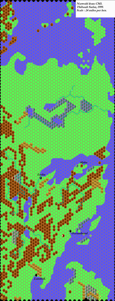
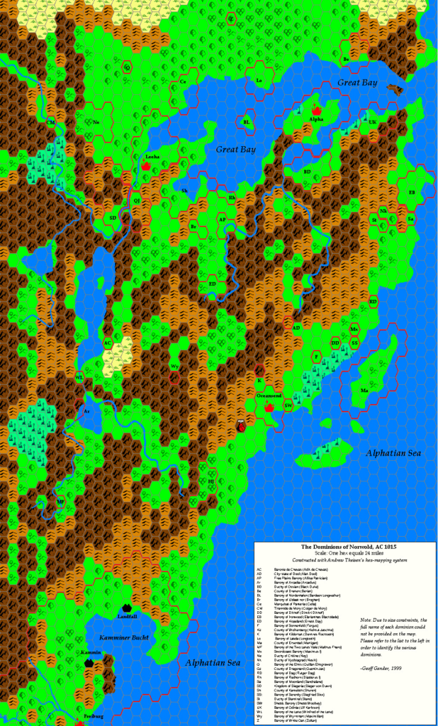
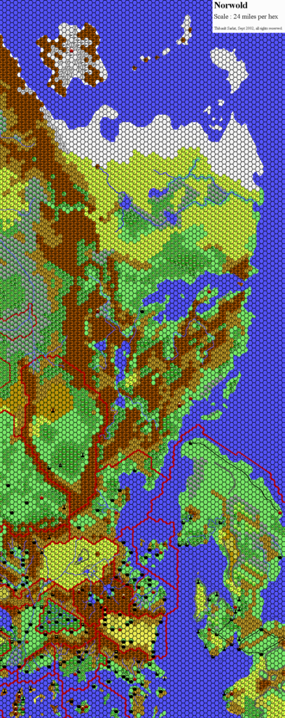
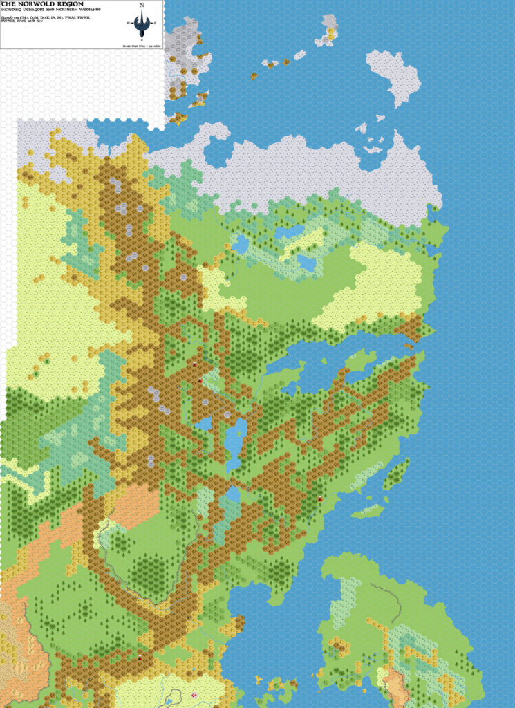
As discussed in the posts for the dominion maps, this map was the conclusion of a long conversation on the Italian MMB. It’s somewhat different from previous maps such as those by Geoff Gander and Thibault Sarlat. The placements of the dominions was always going to be arbitrary and controversial, but this map gained traction in the community, and it was often used as a source in fan projects — though not necessarily completely as is, of course.
Simone would also revisit his Norwold line some years later to produce an even more comprehensive map.
Fan-made Maps by Simone Neri (November 2006)
This is an original map created by one of Mystara’s excellent fan cartographers. For more information on the cartographer, including a gallery of all their maps, see also Appendix M: Mappers of Mystara.
Sources
Fan Sources
- Zendrolion’s Norwold, 24 miles per hex v1.3 (March 2006)
- Zendrolion’s Norwold Ethnographical, 24 miles per hex v1 (April 2006)
- Zendrolion’s Norwold, 24 miles per hex v1.4 (April 2006)
- Zendrolion’s Norwold, 24 miles per hex v1.5 (April 2006)
- Zendrolion’s Norwold Domains, 24 miles per hex v1 (May 2006)
- Zendrolion’s Norwold Domains, 24 miles per hex v2 (May 2006)
- Zendrolion’s Norwold Domains, 24 miles per hex v3 (May 2006)
- Zendrolion’s Norwold, 24 miles per hex v1.7 (March 2007)
References
- All of Simone’s maps at the Atlas of Mystara
- Simone’s entry in Appendix M: Mappers of Mystara (upcoming)
- Simone’s author page at the Vaults of Pandius
Chronological Analysis
This is a fan-made map. It was published in November 2006. The updated Atlas version of this map is not yet available. See also Appendix C for annual chronological snapshots of the area. For the full context of this map in Mystara’s publication history, see the upcoming Let’s Map Mystara 2006.
The following lists are from the Let’s Map Mystara project. Additions are new features, introduced in this map. Revisions are changes to previously-introduced features. Hex Art & Fonts track design elements. Finally, Textual Additions are potential features found in the related text. In most cases, the Atlas adopts these textual additions into updated and chronological maps.
Under Construction! Please check back again soon for updates.
Additions
- XXX —
Revisions
- XXX —
Hex Art & Fonts
- Hex Art —
- Fonts —